
$1,200 / Month
36 Cross St Unit 1
Westborough, MA 01581
2 Weeks Ago
Favorites
36 Cross St Unit 1

Favorites
Check Back Soon for Upcoming Availability
| Beds | Baths | Average SF |
|---|---|---|
| 1 Bedroom 1 Bedroom 1 Br | 1 Bath 1 Bath 1 Ba | 380 SF |
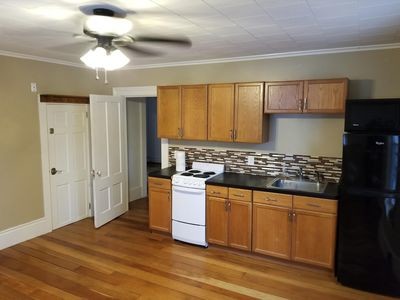
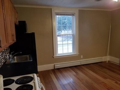
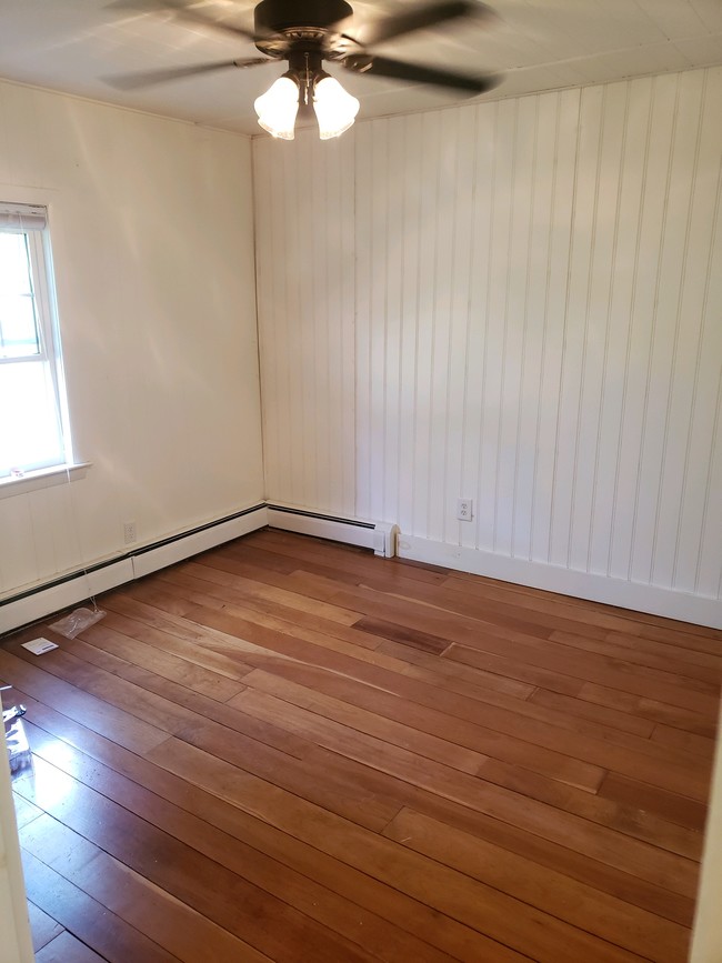
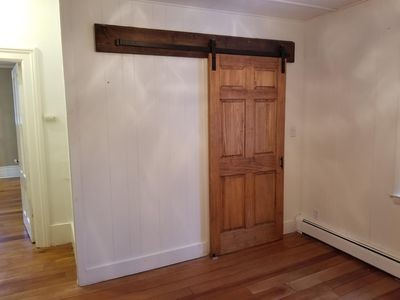
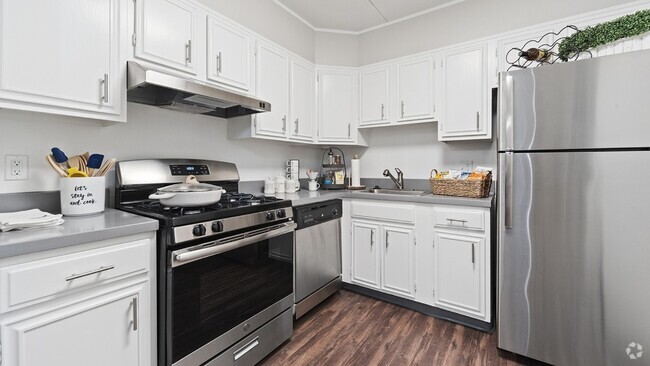
About This Property
Cozy apartment in downtown Westborough. Great starter apartment. Close to major highways and a short drive from the train. No Laundry at the moment. Heat/hot water included. Tenant pays electric. Tenancy at will. Month by month rental. Parking included. I'll be available to start showing the apartment starting 10/30 and on. Please do not apply through Zillow. ****Please email 36crossst@gmail.com if interested...the website I'm using to list is not very user friendly.****
36 Cross St is an apartment community located in Worcester County and the 01581 ZIP Code.
Fees and Policies
The fees below are based on community-supplied data and may exclude additional fees and utilities.
- Cats Allowed
-
Fees not specified
-
Weight limit--
-
Pet Limit--
Location
Get Directions
Situated just moments east of Worcester is the Route 9 Corridor, a large neighborhood compiled of several communities including Shrewsbury, Westborough, Northborough, and Southborough. Not only is Worcester at residents’ fingertips, but Downtown Boston is less than 40 miles east. The Route 9 Corridor is a commuter’s dream, offering easy city access and entry onto Interstates 290, 495, and 90.
The suburb is dotted with ponds, reservoirs, brooks, and rivers, providing ample outdoor recreation. Renters craving a beach day can bask on the sunny shores of Lake Chauncy Beach. Route 9 Corridor’s Prospect Park allows locals to take their dog for a stroll while Assabet Park gives children ample space to play on the playground. Those looking for winter recreation won’t want to miss the powdery slopes of Ski Ward Ski Area. No matter the season, renters settling in this diverse community can choose from gorgeous apartments ranging in price and amenities.
Learn more about living in Route 9 CorridorBelow are rent ranges for similar nearby apartments
| Beds | Average Size | Lowest | Typical | Premium |
|---|---|---|---|---|
| Studio Studio Studio | 506 Sq Ft | $1,857 | $2,464 | $4,110 |
| 1 Bed 1 Bed 1 Bed | 798 Sq Ft | $1,200 | $2,933 | $7,150 |
| 2 Beds 2 Beds 2 Beds | 1151-1152 Sq Ft | $1,975 | $3,655 | $6,805 |
| 3 Beds 3 Beds 3 Beds | 1480 Sq Ft | $2,200 | $4,711 | $10,805 |
| 4 Beds 4 Beds 4 Beds | 1973 Sq Ft | $3,075 | $4,269 | $5,000 |
Education
| Colleges & Universities | Distance | ||
|---|---|---|---|
| Colleges & Universities | Distance | ||
| Drive: | 9 min | 4.0 mi | |
| Drive: | 16 min | 8.8 mi | |
| Drive: | 19 min | 10.5 mi | |
| Drive: | 19 min | 10.6 mi |
36 Cross St Unit 1 is within 9 minutes or 4.0 miles from Tufts University, Grafton. It is also near Stillman College and Framingham State College.
Transportation options available in Westborough include Riverside Station, located 22.3 miles from 36 Cross St Unit 1. 36 Cross St Unit 1 is near Worcester Regional, located 15.6 miles or 29 minutes away, and General Edward Lawrence Logan International, located 35.4 miles or 51 minutes away.
| Transit / Subway | Distance | ||
|---|---|---|---|
| Transit / Subway | Distance | ||
|
|
Drive: | 34 min | 22.3 mi |
|
|
Drive: | 34 min | 22.6 mi |
|
|
Drive: | 35 min | 23.3 mi |
|
|
Drive: | 38 min | 24.9 mi |
|
|
Drive: | 38 min | 25.1 mi |
| Commuter Rail | Distance | ||
|---|---|---|---|
| Commuter Rail | Distance | ||
|
|
Drive: | 6 min | 2.2 mi |
|
|
Drive: | 8 min | 4.1 mi |
|
|
Drive: | 14 min | 7.3 mi |
|
|
Drive: | 19 min | 10.3 mi |
|
|
Drive: | 23 min | 10.6 mi |
| Airports | Distance | ||
|---|---|---|---|
| Airports | Distance | ||
|
Worcester Regional
|
Drive: | 29 min | 15.6 mi |
|
General Edward Lawrence Logan International
|
Drive: | 51 min | 35.4 mi |
Time and distance from 36 Cross St Unit 1.
| Shopping Centers | Distance | ||
|---|---|---|---|
| Shopping Centers | Distance | ||
| Walk: | 11 min | 0.6 mi | |
| Drive: | 5 min | 1.6 mi | |
| Drive: | 5 min | 1.6 mi |
36 Cross St Unit 1 has 3 shopping centers within 1.6 miles, which is about a 5-minute walk. The miles and minutes will be for the farthest away property.
| Parks and Recreation | Distance | ||
|---|---|---|---|
| Parks and Recreation | Distance | ||
|
Cedar Hill and Sawink Farm Reservation
|
Drive: | 9 min | 3.5 mi |
|
Walkup And Robinson Memorial Reservation
|
Drive: | 8 min | 3.6 mi |
|
Whitehall State Park
|
Drive: | 13 min | 4.2 mi |
|
Ward Hill Ski Area
|
Drive: | 12 min | 5.5 mi |
|
Upton State Forest
|
Drive: | 11 min | 5.6 mi |
36 Cross St Unit 1 has 5 parks within 5.6 miles, including Walkup And Robinson Memorial Reservation, Cedar Hill and Sawink Farm Reservation, and Whitehall State Park.
| Hospitals | Distance | ||
|---|---|---|---|
| Hospitals | Distance | ||
| Drive: | 15 min | 8.4 mi | |
| Drive: | 15 min | 8.7 mi | |
| Drive: | 16 min | 9.5 mi |
36 Cross St Unit 1 has 3 hospitals within 9.5 miles, the nearest is Worcester Recovery Center and Hospital which is 8.4 miles away and a 15 minute drive.
| Military Bases | Distance | ||
|---|---|---|---|
| Military Bases | Distance | ||
| Drive: | 27 min | 15.3 mi |
36 Cross St Unit 1 is 15.3 miles and a 27 minute drive from US Military Reservation.
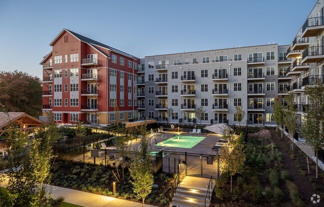
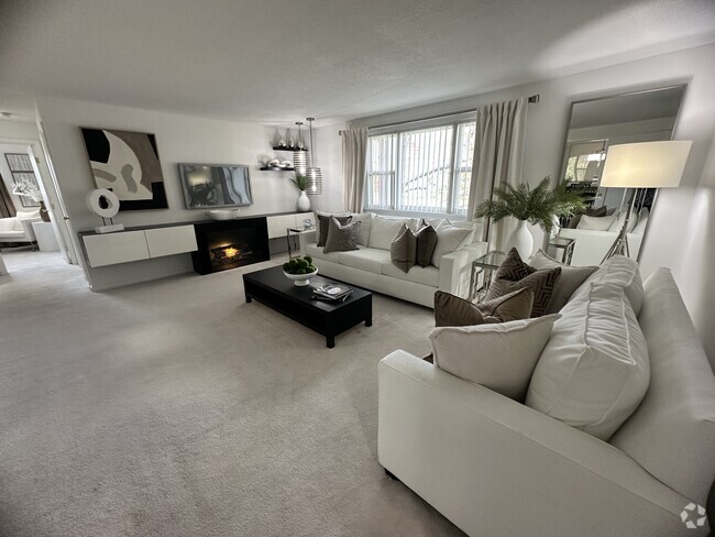
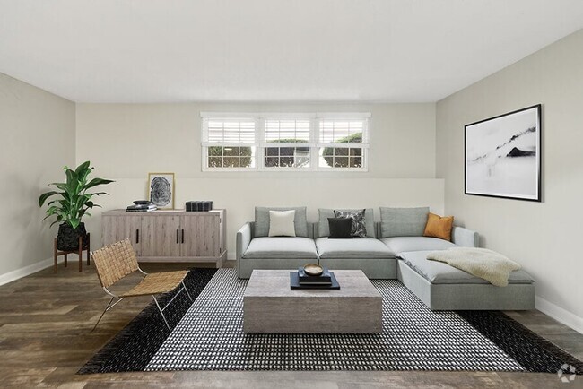
You May Also Like
Similar Rentals Nearby


What Are Walk Score®, Transit Score®, and Bike Score® Ratings?
Walk Score® measures the walkability of any address. Transit Score® measures access to public transit. Bike Score® measures the bikeability of any address.
What is a Sound Score Rating?
A Sound Score Rating aggregates noise caused by vehicle traffic, airplane traffic and local sources
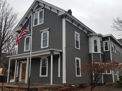
36 Cross St
Westborough, MA 01581