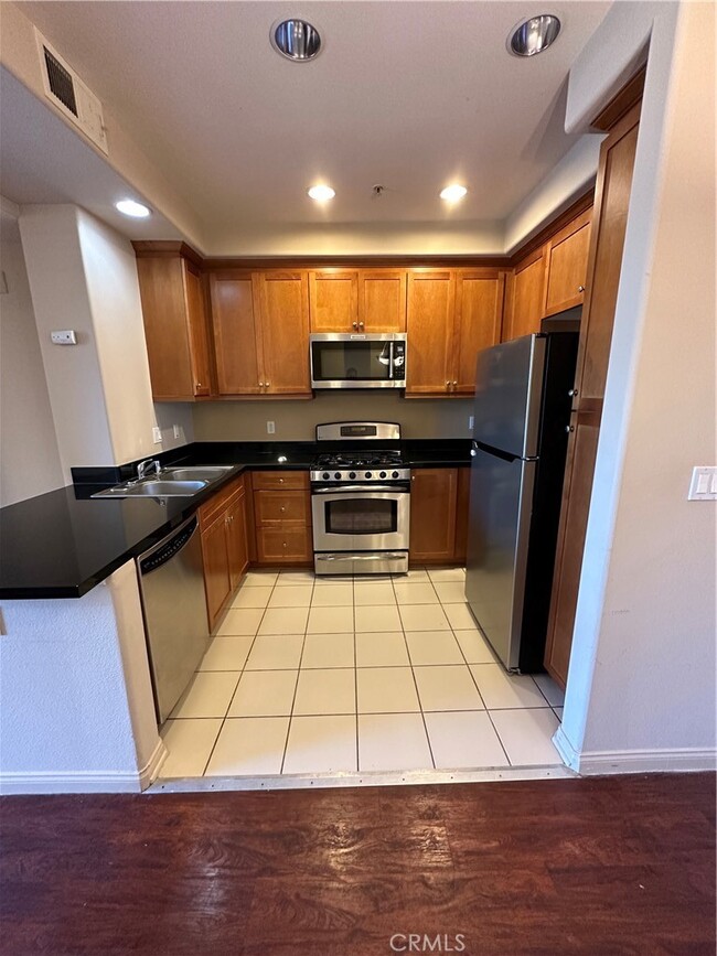
$2,350 / Month
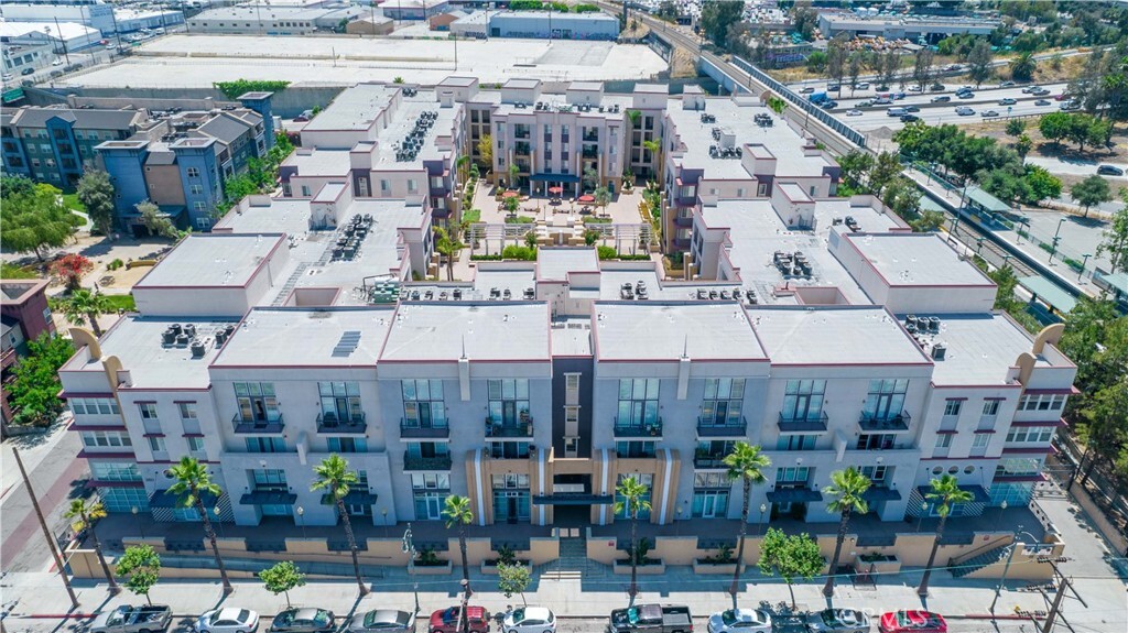
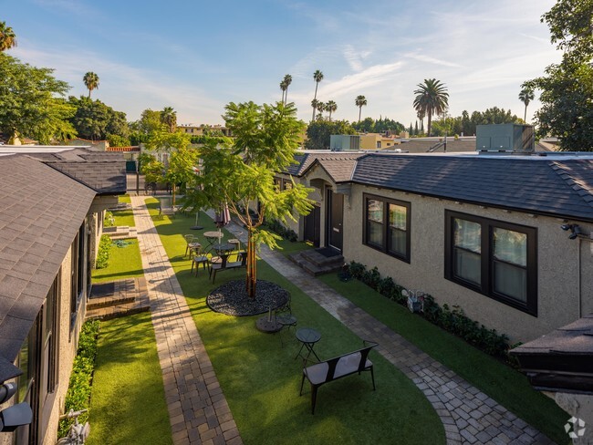
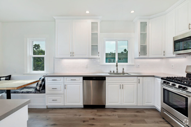
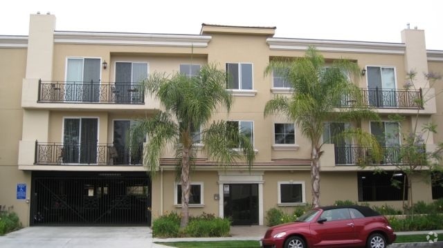
360 W Ave 26
Los Angeles, CA 90031
Today
Favorites
-
Bedrooms
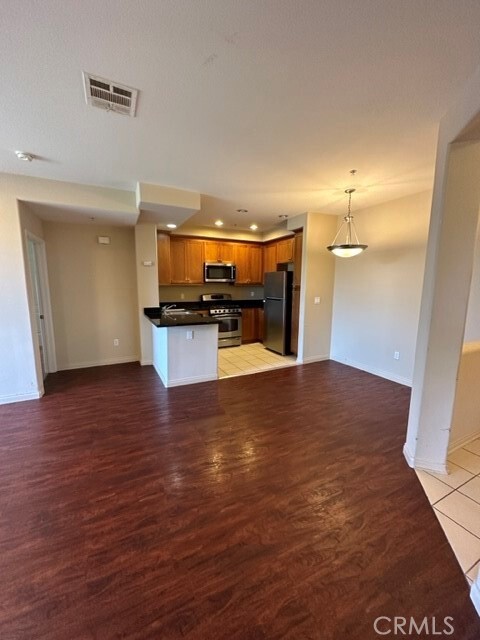
2
-
Bathrooms
2
-
Square Feet
990 sq ft
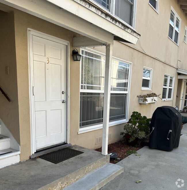
360 W Ave 26

Favorites
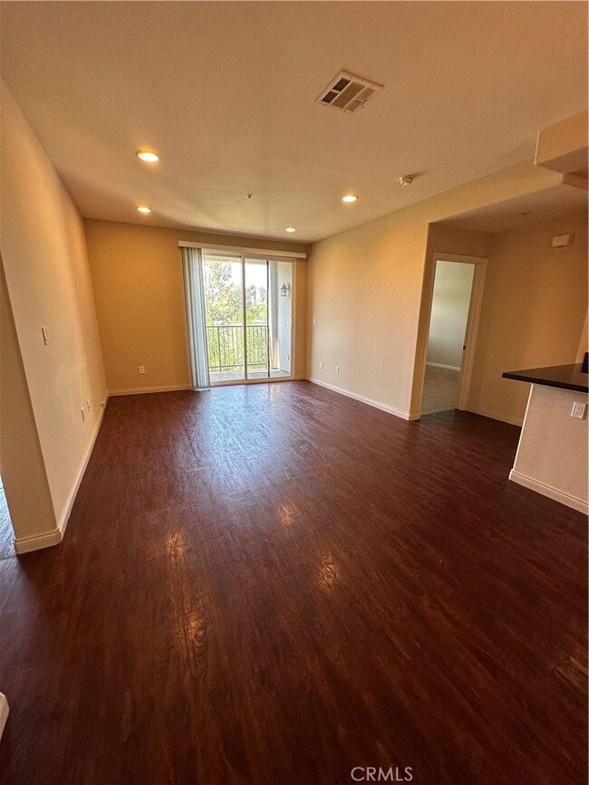
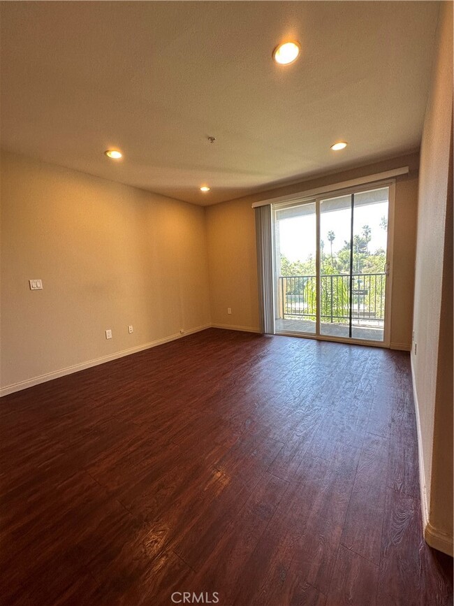
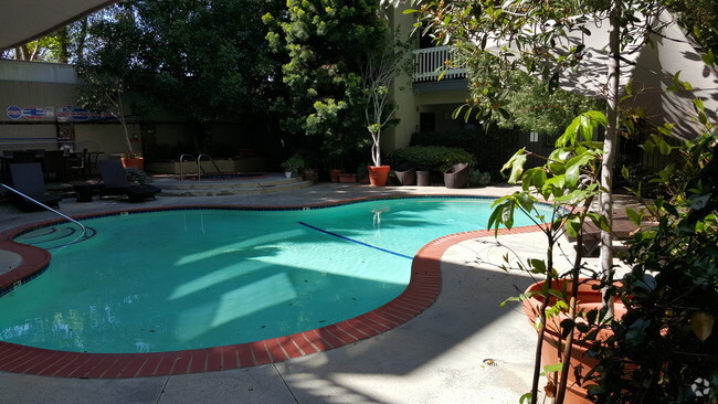
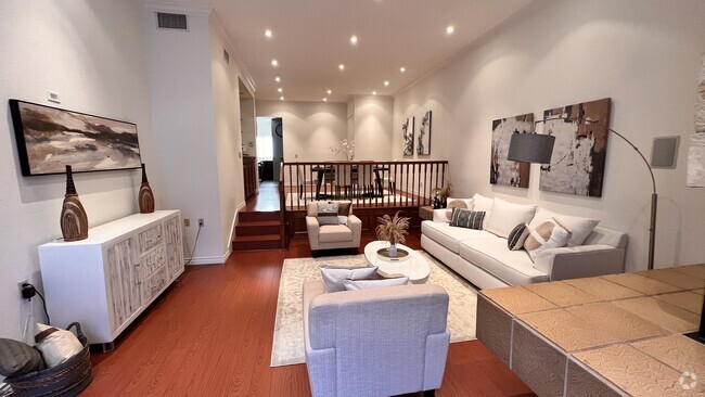
About This Home
---- SCHEDULE A SHOWING ONLINE AT: ----
360 W Ave 26 is a condo located in Los Angeles County and the 90031 ZIP Code.
* Price shown is base rent and may not include non-optional fees and utilities.
Price, availability, fees, and any applicable rent special are subject to change without notice.
* Square footage definitions vary. Displayed square footage is approximate.
Location
Get Directions
Situated in northeast Los Angeles, just four miles from downtown, Montecito Heights sits atop a hilly landscape separating LA from the San Gabriel Valley. From the neighborhood’s steep hills, you can catch stunning views of downtown and the San Gabriel Valley in addition to the Arroyo Seco and even the Pacific Ocean (on a clear day).
Montecito Heights is known for its secluded feel despite being minutes away from Downtown LA. Natural beauty and lush parks abound in Montecito Heights. Ernest E. Debs Regional Park is one of the neighborhood’s defining features, touting 300 acres of scenic hiking trails, biking paths, picnic tables, a peaceful pond, and the striking panoramic views the neighborhood is revered for.
Montecito Heights is also home to the Heritage Square Museum, a living history museum that details life in 19th-century Southern California.
Learn more about living in Montecito Heights
Education
| Colleges & Universities | Distance | ||
|---|---|---|---|
| Colleges & Universities | Distance | ||
| Drive: | 5 min | 2.1 mi | |
| Drive: | 6 min | 3.8 mi | |
| Drive: | 9 min | 4.8 mi | |
| Drive: | 9 min | 5.1 mi |
360 W Ave 26 is within 5 minutes or 2.1 miles from USC, Health Sciences Campus. It is also near Golden Gate Univ, Los Angeles and Occidental College.
Transportation options available in Los Angeles include Lincoln Heights/Cypress Park Station, located 0.1 mile from 360 W Ave 26. 360 W Ave 26 is near Bob Hope, located 14.9 miles or 21 minutes away, and Los Angeles International, located 17.8 miles or 28 minutes away.
| Transit / Subway | Distance | ||
|---|---|---|---|
| Transit / Subway | Distance | ||
|
|
Walk: | 1 min | 0.1 mi |
|
|
Walk: | 18 min | 0.9 mi |
|
|
Drive: | 3 min | 1.8 mi |
|
|
Drive: | 3 min | 2.2 mi |
|
|
Drive: | 7 min | 2.8 mi |
| Commuter Rail | Distance | ||
|---|---|---|---|
| Commuter Rail | Distance | ||
|
|
Drive: | 6 min | 2.8 mi |
|
|
Drive: | 7 min | 2.8 mi |
|
|
Drive: | 7 min | 4.0 mi |
| Drive: | 9 min | 6.9 mi | |
|
|
Drive: | 17 min | 11.0 mi |
| Airports | Distance | ||
|---|---|---|---|
| Airports | Distance | ||
|
Bob Hope
|
Drive: | 21 min | 14.9 mi |
|
Los Angeles International
|
Drive: | 28 min | 17.8 mi |
Time and distance from 360 W Ave 26.
| Shopping Centers | Distance | ||
|---|---|---|---|
| Shopping Centers | Distance | ||
| Walk: | 7 min | 0.4 mi | |
| Walk: | 7 min | 0.4 mi | |
| Walk: | 9 min | 0.5 mi |
360 W Ave 26 has 3 shopping centers within 0.5 mile, which is about a 9-minute walk. The miles and minutes will be for the farthest away property.
| Parks and Recreation | Distance | ||
|---|---|---|---|
| Parks and Recreation | Distance | ||
|
Audubon Center at Debs Park
|
Drive: | 3 min | 1.9 mi |
|
Chavez Ravine Arboretum
|
Drive: | 4 min | 2.5 mi |
|
Elysian Park
|
Drive: | 7 min | 2.6 mi |
|
Elyria Canyon Park
|
Drive: | 6 min | 2.8 mi |
|
Echo Park Lake
|
Drive: | 5 min | 3.4 mi |
360 W Ave 26 has 5 parks within 3.4 miles, including Audubon Center at Debs Park, Elyria Canyon Park, and Elysian Park.
| Hospitals | Distance | ||
|---|---|---|---|
| Hospitals | Distance | ||
| Drive: | 4 min | 2.2 mi | |
| Drive: | 5 min | 2.4 mi | |
| Drive: | 7 min | 3.2 mi |
360 W Ave 26 has 3 hospitals within 3.2 miles, the nearest is LAC + USC Medical Center which is 2.2 miles away and a 4 minute drive.
| Military Bases | Distance | ||
|---|---|---|---|
| Military Bases | Distance | ||
| Drive: | 25 min | 19.4 mi |
360 W Ave 26 is 19.4 miles and a 25 minute drive from Los Angeles Air Force Base.
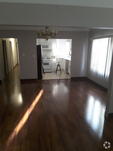
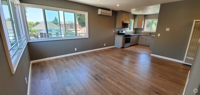
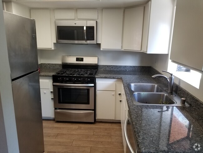
You May Also Like
Similar Rentals Nearby
What Are Walk Score®, Transit Score®, and Bike Score® Ratings?
Walk Score® measures the walkability of any address. Transit Score® measures access to public transit. Bike Score® measures the bikeability of any address.
What is a Sound Score Rating?
A Sound Score Rating aggregates noise caused by vehicle traffic, airplane traffic and local sources

360 W Ave 26
Los Angeles, CA 90031