-
Monthly Rent
$1,295
-
Bedrooms
3 bd
-
Bathrooms
2 ba
-
Square Feet
1,250 sq ft
Details

About This Property
---- SCHEDULE A SHOWING ONLINE AT: ----
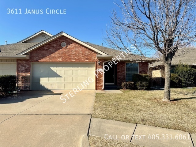
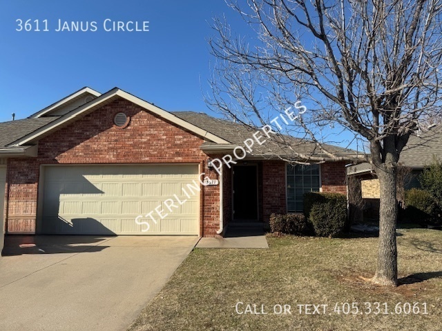
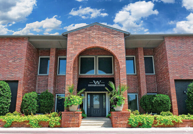
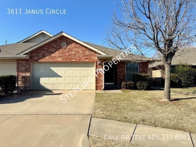
3611 Janus is an apartment community located in Canadian County and the 73099 ZIP Code.
 This Property
 Available Property
As its name suggests, Southwest Oklahoma City is a neighborhood west of Oklahoma City that stretches from the Canadian River to Highway 66. Most of this community includes open spaces and farmland, but the closer to the city you travel, the more populated the area becomes. Residential neighborhoods and modern shops and restaurants can be found in the eastern sections of town. Renters can find several options for affordable apartments, single-family homes, and townhomes here too. Major roads like Interstate 40 allow for easy travel in and out of the neighborhood, and the Will Rogers World Airport, located just outside of the southeastern corner of the neighborhood, makes farther travel accessible.
Learn more about living in Southwest Oklahoma City| Colleges & Universities | Distance | ||
|---|---|---|---|
| Colleges & Universities | Distance | ||
| Drive: | 7 min | 5.3 mi | |
| Drive: | 15 min | 10.5 mi | |
| Drive: | 16 min | 11.3 mi | |
| Drive: | 23 min | 18.4 mi |
Transportation options available in Yukon include Dewey Avenue, located 13.1 miles from 3611 Janus. 3611 Janus is near Will Rogers World, located 17.3 miles or 26 minutes away.
| Transit / Subway | Distance | ||
|---|---|---|---|
| Transit / Subway | Distance | ||
| Drive: | 19 min | 13.1 mi | |
| Drive: | 20 min | 13.3 mi | |
| Drive: | 20 min | 13.4 mi | |
| Drive: | 20 min | 13.9 mi | |
| Drive: | 20 min | 14.1 mi |
| Commuter Rail | Distance | ||
|---|---|---|---|
| Commuter Rail | Distance | ||
|
|
Drive: | 22 min | 15.1 mi |
|
|
Drive: | 46 min | 34.6 mi |
| Airports | Distance | ||
|---|---|---|---|
| Airports | Distance | ||
|
Will Rogers World
|
Drive: | 26 min | 17.3 mi |
Time and distance from 3611 Janus.
| Shopping Centers | Distance | ||
|---|---|---|---|
| Shopping Centers | Distance | ||
| Drive: | 3 min | 1.6 mi | |
| Drive: | 3 min | 2.1 mi | |
| Drive: | 4 min | 2.8 mi |
| Parks and Recreation | Distance | ||
|---|---|---|---|
| Parks and Recreation | Distance | ||
|
Stinchcomb Wildlife Refuge
|
Drive: | 7 min | 4.6 mi |
|
Dolese Youth Park
|
Drive: | 12 min | 7.8 mi |
|
Will Rogers Horticultural Gardens
|
Drive: | 11 min | 8.2 mi |
|
Martin Park Nature Center
|
Drive: | 14 min | 11.8 mi |
| Hospitals | Distance | ||
|---|---|---|---|
| Hospitals | Distance | ||
| Drive: | 10 min | 5.6 mi | |
| Drive: | 10 min | 7.7 mi | |
| Drive: | 13 min | 9.8 mi |
| Military Bases | Distance | ||
|---|---|---|---|
| Military Bases | Distance | ||
| Drive: | 36 min | 25.0 mi | |
| Drive: | 91 min | 71.5 mi | |
| Drive: | 87 min | 78.6 mi |
You May Also Like
Similar Rentals Nearby
What Are Walk Score®, Transit Score®, and Bike Score® Ratings?
Walk Score® measures the walkability of any address. Transit Score® measures access to public transit. Bike Score® measures the bikeability of any address.
What is a Sound Score Rating?
A Sound Score Rating aggregates noise caused by vehicle traffic, airplane traffic and local sources
