
$775 / Month
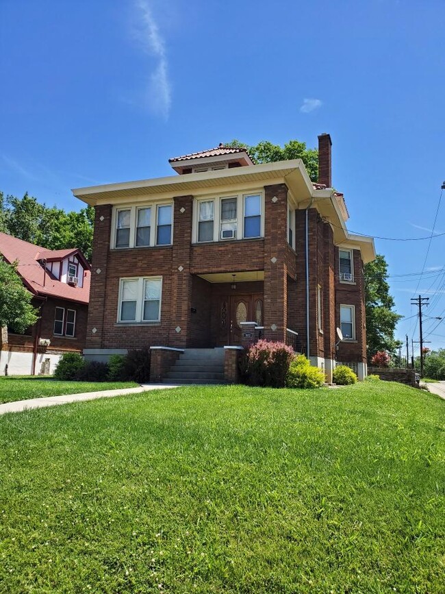
3632 Glenmore Ave Unit 3
Cheviot, OH 45211
2 Weeks Ago
Favorites
3632 Glenmore Ave Unit 3

Favorites
Check Back Soon for Upcoming Availability
| Beds | Baths | Average SF |
|---|---|---|
| 1 Bedroom 1 Bedroom 1 Br | 1 Bath 1 Bath 1 Ba | 732 SF |
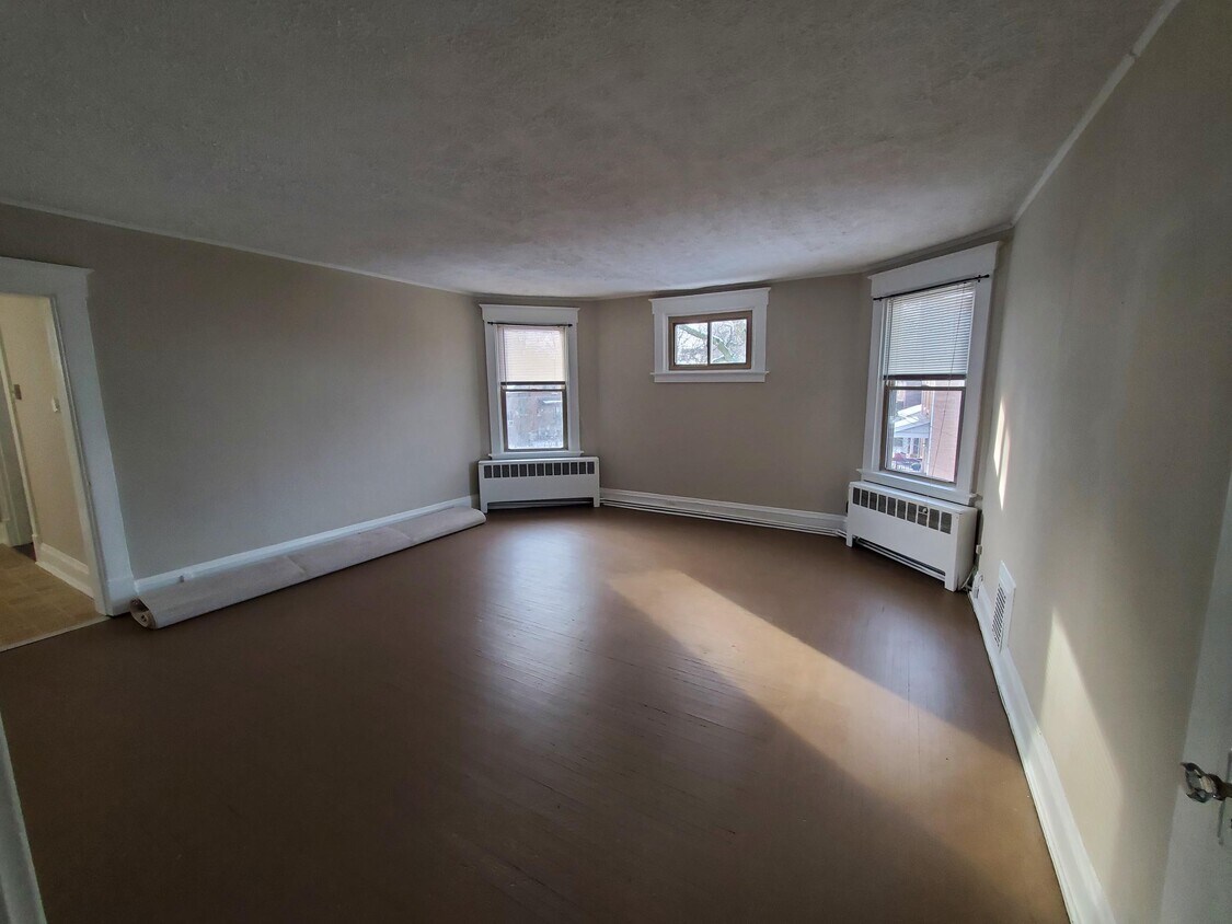
About This Property
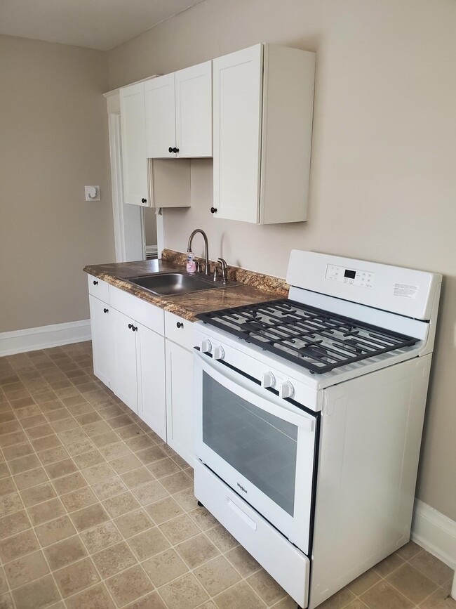
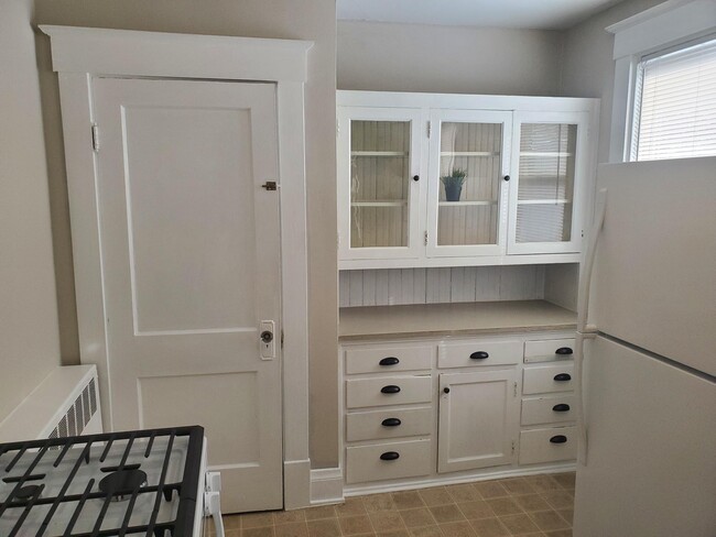
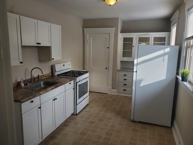
Updated kitchen. Brand new gas stove. This is a 2nd floor apartment. There are 3 flights of stairs. Tenant pays gas and electric. Apartment is available for immediate occupancy. On street parking for this unit.
3632 Glenmore Ave is an apartment community located in Hamilton County and the 45211 ZIP Code.
Apartment Features
- Smoke Free
- Kitchen
- Laundry Facilities
Fees and Policies
The fees below are based on community-supplied data and may exclude additional fees and utilities.
- Parking
-
Street--
Details
Utilities Included
-
Water
-
Heat
-
Trash Removal
-
Sewer
Property Information
-
5 units
Location
Get Directions
Below are rent ranges for similar nearby apartments
Amenities
- Smoke Free
- Kitchen
- Laundry Facilities
Expenses
Utilities Included
Water, Heat, Trash Removal, Sewer
Included
Education
| Colleges & Universities | Distance | ||
|---|---|---|---|
| Colleges & Universities | Distance | ||
| Drive: | 12 min | 5.2 mi | |
| Drive: | 15 min | 6.2 mi | |
| Drive: | 14 min | 6.5 mi | |
| Drive: | 15 min | 6.9 mi |
3632 Glenmore Ave Unit 3 is within 12 minutes or 5.2 miles from College of Mount St. Joseph. It is also near Cincinnati State and University of Cincinnati.
Transportation options available in Cheviot include Brewery District Station, Elm & Henry, located 6.3 miles from 3632 Glenmore Ave Unit 3. 3632 Glenmore Ave Unit 3 is near Cincinnati/Northern Kentucky International, located 21.2 miles or 39 minutes away.
| Transit / Subway | Distance | ||
|---|---|---|---|
| Transit / Subway | Distance | ||
| Drive: | 14 min | 6.3 mi | |
| Drive: | 15 min | 6.5 mi | |
| Drive: | 15 min | 6.6 mi | |
| Drive: | 15 min | 6.7 mi | |
| Drive: | 15 min | 6.8 mi |
| Commuter Rail | Distance | ||
|---|---|---|---|
| Commuter Rail | Distance | ||
|
|
Drive: | 15 min | 7.2 mi |
| Airports | Distance | ||
|---|---|---|---|
| Airports | Distance | ||
|
Cincinnati/Northern Kentucky International
|
Drive: | 39 min | 21.2 mi |
Time and distance from 3632 Glenmore Ave Unit 3.
| Shopping Centers | Distance | ||
|---|---|---|---|
| Shopping Centers | Distance | ||
| Walk: | 17 min | 0.9 mi | |
| Drive: | 3 min | 1.3 mi | |
| Drive: | 4 min | 1.5 mi |
3632 Glenmore Ave Unit 3 has 3 shopping centers within 1.5 miles, which is about a 4-minute walk. The miles and minutes will be for the farthest away property.
| Parks and Recreation | Distance | ||
|---|---|---|---|
| Parks and Recreation | Distance | ||
|
Mt. Airy Forest
|
Drive: | 8 min | 3.1 mi |
|
Imago Earth Center
|
Drive: | 13 min | 4.9 mi |
|
Buttercup Valley
|
Drive: | 12 min | 5.1 mi |
|
Wilson Commons
|
Drive: | 15 min | 5.6 mi |
|
LaBoiteaux Woods
|
Drive: | 15 min | 6.3 mi |
3632 Glenmore Ave Unit 3 has 5 parks within 6.3 miles, including Mt. Airy Forest, Imago Earth Center, and Buttercup Valley.
| Hospitals | Distance | ||
|---|---|---|---|
| Hospitals | Distance | ||
| Drive: | 8 min | 2.7 mi | |
| Drive: | 12 min | 5.7 mi | |
| Drive: | 15 min | 7.0 mi |
3632 Glenmore Ave Unit 3 has 3 hospitals within 7.0 miles, the nearest is Mercy Health - West Hospital which is 2.7 miles away and a 8 minute drive.
| Military Bases | Distance | ||
|---|---|---|---|
| Military Bases | Distance | ||
| Drive: | 75 min | 56.0 mi | |
| Drive: | 81 min | 61.0 mi | |
| Drive: | 83 min | 64.3 mi |
3632 Glenmore Ave Unit 3 has 3 military bases within 64.3 miles, the nearest is Gentile Air Force Station which is 56.0 miles away and a 75 minute drive.
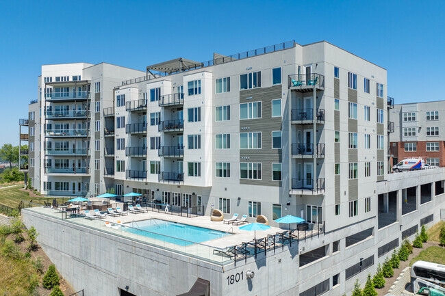
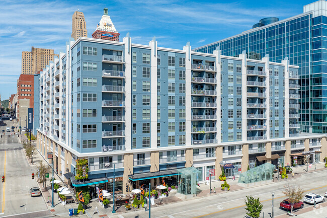
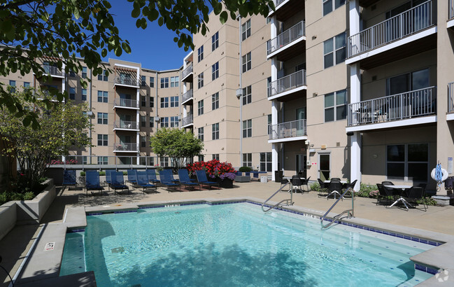
You May Also Like
Similar Rentals Nearby


What Are Walk Score®, Transit Score®, and Bike Score® Ratings?
Walk Score® measures the walkability of any address. Transit Score® measures access to public transit. Bike Score® measures the bikeability of any address.
What is a Sound Score Rating?
A Sound Score Rating aggregates noise caused by vehicle traffic, airplane traffic and local sources
3632 Glenmore Ave
Cheviot, OH 45211