
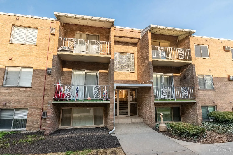
3640 Westwood Northern Blvd Unit 24
Cheviot, OH 45211
-
Bedrooms
2
-
Bathrooms
1
-
Square Feet
756 sq ft
-
Available
Available May 1

About This Home
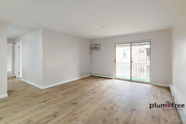
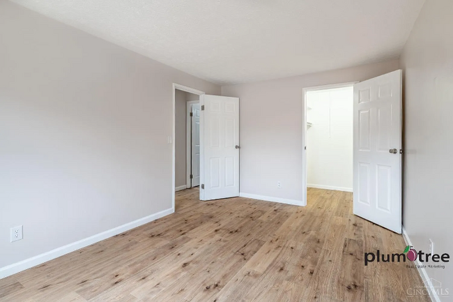
Property Id: 1841892 A fully renovated and spacious apartment in Cleves neighborhood - Welcome home to all new kitchen, appliances and more! The property grants easy access to I-74, near great Shopping, Retail, and Grocery Outlets. All of these locations will be at your doorstep when you call this community home!
3640 Westwood Northern Blvd is a condo located in Hamilton County and the 45211 ZIP Code.
Condo Features
Dishwasher
Microwave
Refrigerator
Disposal
- Dishwasher
- Disposal
- Microwave
- Oven
- Refrigerator
- Vinyl Flooring
Fees and Policies
The fees below are based on community-supplied data and may exclude additional fees and utilities.
Details
Utilities Included
-
Gas
-
Water
-
Electricity
-
Trash Removal
-
Sewer
Contact
- Phone Number
- Contact
-
Source

- Dishwasher
- Disposal
- Microwave
- Oven
- Refrigerator
- Vinyl Flooring
| Colleges & Universities | Distance | ||
|---|---|---|---|
| Colleges & Universities | Distance | ||
| Drive: | 15 min | 6.4 mi | |
| Drive: | 15 min | 6.5 mi | |
| Drive: | 14 min | 6.6 mi | |
| Drive: | 15 min | 7.1 mi |
Transportation options available in Cheviot include Brewery District Station, Elm & Henry, located 7.4 miles from 3640 Westwood Northern Blvd Unit 24. 3640 Westwood Northern Blvd Unit 24 is near Cincinnati/Northern Kentucky International, located 21.4 miles or 39 minutes away.
| Transit / Subway | Distance | ||
|---|---|---|---|
| Transit / Subway | Distance | ||
| Drive: | 15 min | 7.4 mi | |
| Drive: | 15 min | 7.5 mi | |
| Drive: | 16 min | 7.5 mi | |
| Drive: | 16 min | 7.6 mi | |
| Drive: | 16 min | 7.7 mi |
| Commuter Rail | Distance | ||
|---|---|---|---|
| Commuter Rail | Distance | ||
|
|
Drive: | 15 min | 7.3 mi |
| Airports | Distance | ||
|---|---|---|---|
| Airports | Distance | ||
|
Cincinnati/Northern Kentucky International
|
Drive: | 39 min | 21.4 mi |
Time and distance from 3640 Westwood Northern Blvd Unit 24.
| Shopping Centers | Distance | ||
|---|---|---|---|
| Shopping Centers | Distance | ||
| Drive: | 2 min | 1.2 mi | |
| Drive: | 4 min | 1.8 mi | |
| Drive: | 6 min | 1.8 mi |
| Parks and Recreation | Distance | ||
|---|---|---|---|
| Parks and Recreation | Distance | ||
|
Mt. Airy Forest
|
Drive: | 5 min | 2.5 mi |
|
Mitchell Memorial Forest
|
Drive: | 10 min | 5.0 mi |
|
Buttercup Valley
|
Drive: | 12 min | 5.3 mi |
|
Imago Earth Center
|
Drive: | 15 min | 6.1 mi |
|
LaBoiteaux Woods
|
Drive: | 15 min | 6.5 mi |
| Hospitals | Distance | ||
|---|---|---|---|
| Hospitals | Distance | ||
| Drive: | 6 min | 2.1 mi | |
| Drive: | 12 min | 5.9 mi | |
| Drive: | 15 min | 7.1 mi |
| Military Bases | Distance | ||
|---|---|---|---|
| Military Bases | Distance | ||
| Drive: | 75 min | 56.1 mi | |
| Drive: | 81 min | 61.2 mi | |
| Drive: | 83 min | 64.5 mi |
You May Also Like
What Are Walk Score®, Transit Score®, and Bike Score® Ratings?
Walk Score® measures the walkability of any address. Transit Score® measures access to public transit. Bike Score® measures the bikeability of any address.
What is a Sound Score Rating?
A Sound Score Rating aggregates noise caused by vehicle traffic, airplane traffic and local sources
3640 Westwood Northern Blvd
Cheviot, OH 45211