$2,300 / Month
3676 Laurel Ave Unit 4
Oakland, CA 94602
1 Day Ago
Favorites
510-409-4966
-
Bedrooms
2
-
Bathrooms
1
-
Square Feet
600 sq ft
-
Available
Available Now
Highlights
- Traditional Architecture
- 1 Car Attached Garage
- No Cooling
- Breakfast Bar
- Fenced
- Paved or Partially Paved Lot
3676 Laurel Ave Unit 4

Favorites
About This Home
Available Now
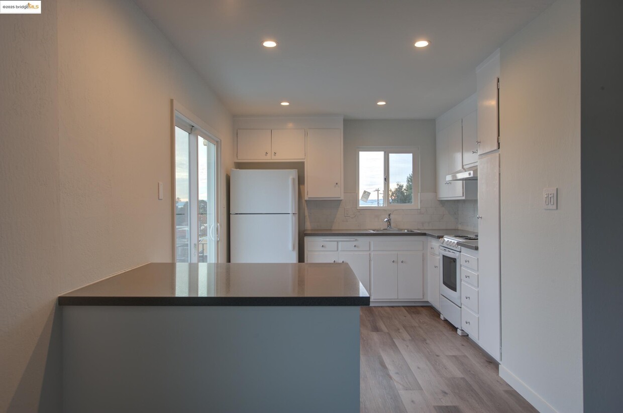
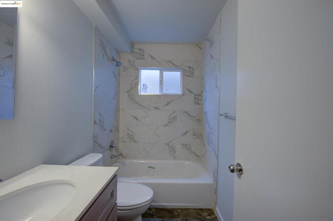
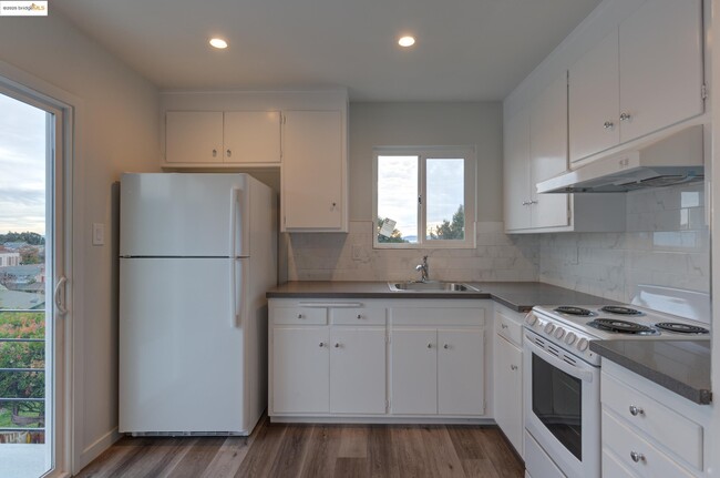
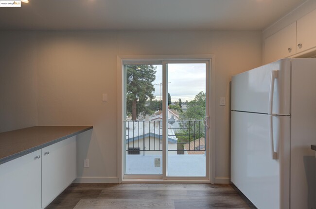
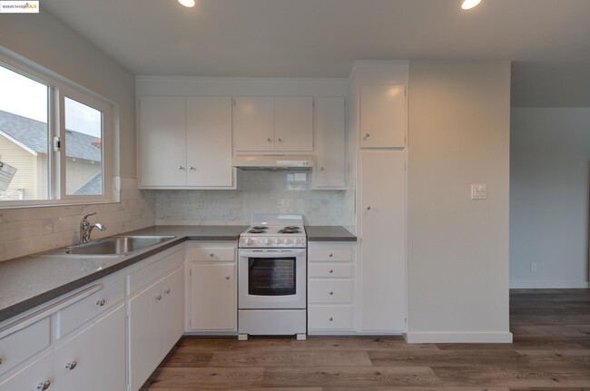
PET FRIENDLY! Stunning Views & Half Off First Month’s Rent! Wake up to breathtaking views in this beautifully renovated 2-bed,1-bath upper-level apartment in Dimond/Laurel! Upgraded in 2018,it features laminate flooring,quartz countertops,fresh paint,new windows,and updated appliances. Enjoy a bright,airy living space,a modern kitchen,and cozy bedrooms. Conveniently located near freeways,Transbay bus,and local favorites like Sequoia Diner and Farmer Joe’s. Just 10 minutes to downtown Oakland and 12 minutes to Joaquin Miller Park. Includes shared laundry,a garden/patio,garage parking,and extra storage. Half off first month’s rent! Pets welcome with deposit. Water & garbage covered.
3676 Laurel Ave is an apartment community located in Alameda County and the 94602 ZIP Code.
* Price shown is base rent and may not include non-optional fees and utilities.
Price, availability, fees, and any applicable rent special are subject to change without notice.
* Square footage definitions vary. Displayed square footage is approximate.
Home Details
Year Built
Built in 1964
Bedrooms and Bathrooms
1 Full Bathroom
2 Bedrooms
Flooring
Carpet
Laminate
Home Design
Traditional Architecture
Apartment
Stucco
Home Security
Fire and Smoke Detector
Interior Spaces
2-Story Property
Kitchen
Built-In Oven
Breakfast Bar
Laminate Countertops
Listing and Financial Details
Assessor Parcel Number 28943311
Lot Details
5,000 Sq Ft Lot
Fenced
Paved or Partially Paved Lot
Parking
1 Car Attached Garage
Utilities
No Cooling
Wall Furnace
Community Details
Overview
No Home Owners Association
Bridge Aor Association
Upper Laurel Subdivision
600 Sq Ft Building
Contact
- Listed by Kerri Naslund-monday | KW Advisors East Bay
- Phone Number (510) 409-4966
- Contact
-
Source
 bridgeMLS
Copyright© 2025 Bay East, Contra Costa, bridgeMLS. All rights reserved. All information provided by the listing agent/broker is deemed reliable but is not guaranteed and should be independently verified.
Location
Get Directions
The Lower Hills District of Oakland is made up of several small neighborhoods, including Piedmont, Crocker Heights, Oakmont, and Redwood Heights. Situated just seven miles to the east of Downtown Oakland on the north side of Interstate 580, the Lower Hills District maintains a small town feel despite its location among one of the Bay Area’s biggest communities. Windy, tree-lined streets house both new apartments and homes dating back to the '30s and '40s. Residents don’t have to travel far for everyday needs thanks to Oakland’s fast-growing economy. There is a plethora of shopping and dining options scattered around this sprawling community. You’ll find most of the amenities close to the MacArthur Freeway (Interstate 580) or near Park Boulevard. Access to the freeway and Bay Area Rapid Transit make getting around the rest of the Bay Area a breeze.
Learn more about living in Lower Hills District
Education
| Colleges & Universities | Distance | ||
|---|---|---|---|
| Colleges & Universities | Distance | ||
| Drive: | 6 min | 1.9 mi | |
| Drive: | 7 min | 3.9 mi | |
| Drive: | 9 min | 4.4 mi | |
| Drive: | 8 min | 4.9 mi |
3676 Laurel Ave Unit 4 is within 6 minutes or 1.9 miles from Mills College. It is also near Laney College and Lincoln University, Oakland.
Transportation options available in Oakland include Fruitvale Station, located 2.2 miles from 3676 Laurel Ave Unit 4. 3676 Laurel Ave Unit 4 is near Metro Oakland International, located 8.0 miles or 14 minutes away, and San Francisco International, located 26.5 miles or 38 minutes away.
| Transit / Subway | Distance | ||
|---|---|---|---|
| Transit / Subway | Distance | ||
|
|
Drive: | 4 min | 2.2 mi |
|
|
Drive: | 9 min | 4.4 mi |
|
|
Drive: | 9 min | 4.4 mi |
|
|
Drive: | 8 min | 4.4 mi |
|
|
Drive: | 8 min | 5.0 mi |
| Commuter Rail | Distance | ||
|---|---|---|---|
| Commuter Rail | Distance | ||
|
|
Drive: | 10 min | 4.6 mi |
|
|
Drive: | 11 min | 7.5 mi |
|
|
Drive: | 13 min | 9.6 mi |
|
|
Drive: | 20 min | 13.2 mi |
| Drive: | 20 min | 14.1 mi |
| Airports | Distance | ||
|---|---|---|---|
| Airports | Distance | ||
|
Metro Oakland International
|
Drive: | 14 min | 8.0 mi |
|
San Francisco International
|
Drive: | 38 min | 26.5 mi |
Time and distance from 3676 Laurel Ave Unit 4.
| Shopping Centers | Distance | ||
|---|---|---|---|
| Shopping Centers | Distance | ||
| Walk: | 18 min | 1.0 mi | |
| Drive: | 3 min | 1.3 mi | |
| Drive: | 4 min | 2.3 mi |
3676 Laurel Ave Unit 4 has 3 shopping centers within 2.3 miles, which is about a 4-minute walk. The miles and minutes will be for the farthest away property.
| Parks and Recreation | Distance | ||
|---|---|---|---|
| Parks and Recreation | Distance | ||
|
Roberts Regional Recreation Area
|
Drive: | 8 min | 3.8 mi |
|
Lakeside Park
|
Drive: | 6 min | 3.9 mi |
|
Redwood Regional Park
|
Drive: | 8 min | 4.1 mi |
|
Chabot Space & Science Center
|
Drive: | 11 min | 4.5 mi |
|
Joaquin Miller Park
|
Drive: | 11 min | 4.6 mi |
3676 Laurel Ave Unit 4 has 5 parks within 4.6 miles, including Joaquin Miller Park, Roberts Regional Recreation Area, and Chabot Space & Science Center.
| Hospitals | Distance | ||
|---|---|---|---|
| Hospitals | Distance | ||
| Drive: | 4 min | 1.7 mi | |
| Drive: | 4 min | 1.8 mi | |
| Drive: | 7 min | 4.5 mi |
3676 Laurel Ave Unit 4 has 3 hospitals within 4.5 miles, the nearest is Telecare Heritage Psychiatric Health Facility which is 1.7 miles away and a 4 minute drive.
| Military Bases | Distance | ||
|---|---|---|---|
| Military Bases | Distance | ||
| Drive: | 17 min | 7.8 mi | |
| Drive: | 17 min | 10.0 mi |
3676 Laurel Ave Unit 4 is 7.8 miles from Alameda/US Naval Air Station Alameda, and is convenient to other military bases, including Oakland Army Base.
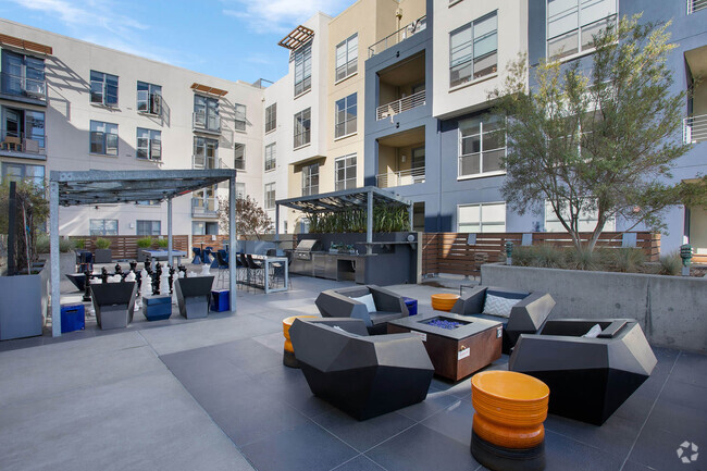
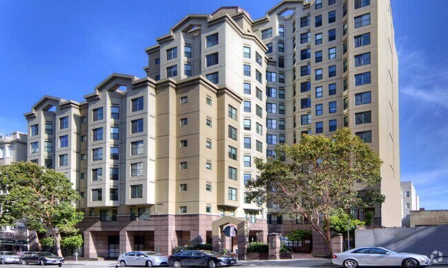
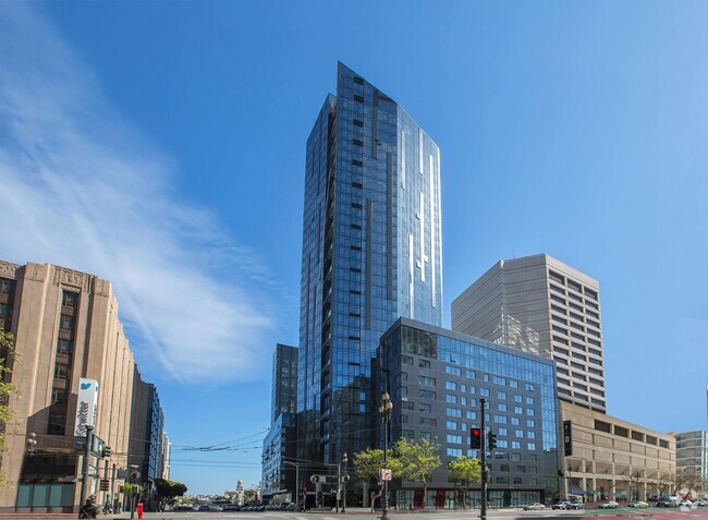
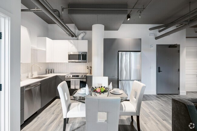
You May Also Like
Similar Rentals Nearby


What Are Walk Score®, Transit Score®, and Bike Score® Ratings?
Walk Score® measures the walkability of any address. Transit Score® measures access to public transit. Bike Score® measures the bikeability of any address.
What is a Sound Score Rating?
A Sound Score Rating aggregates noise caused by vehicle traffic, airplane traffic and local sources

3676 Laurel Ave
Oakland, CA 94602