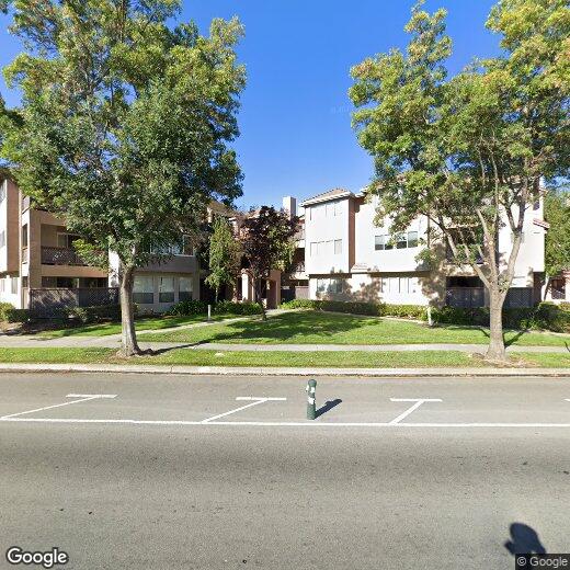
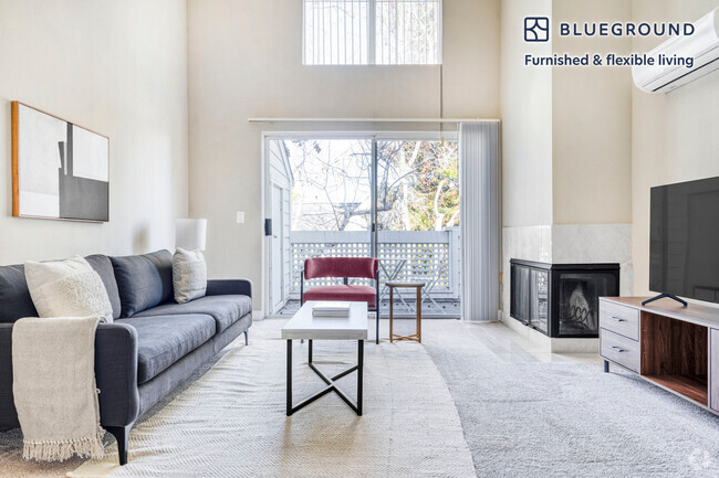
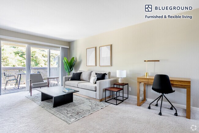
3695 Stevenson Blvd
3695 Stevenson Blvd
Fremont, CA 94538
2 Weeks Ago
Favorites
3695 Stevenson Blvd

Favorites
Check Back Soon for Upcoming Availability
Location
Get Directions
Fremont is a charming city in the San Francisco Bay Area that sits across the Bay from the Silicon Valley. It is known as an ideal destination for families, offering kid-friendly attractions and excellent public schools like the Children’s Natural History Museum and Washington High School. The rapid expansion of the tech industry in recent years has boosted Fremont’s reputation as a commuter-friendly city for those working in the Silicon Valley. Fremont is located directly north of San Jose, and Palo Alto is a short drive across the Dumbarton Bridge on the Bay.
Fremont’s local culture incorporates the area’s rich history and thriving arts scene. Check out the Old Town Niles region that features a popular art walk, antique fair, and a museum celebrating the town’s role in the early days of motion picture production. Exquisite historic architecture is on display around the city, so be sure to explore Fremont’s picturesque streets that blend urban amenities and suburban neighborhoods.
Learn more about living in Fremont
Education
| Colleges & Universities | Distance | ||
|---|---|---|---|
| Colleges & Universities | Distance | ||
| Drive: | 6 min | 3.2 mi | |
| Drive: | 10 min | 4.2 mi | |
| Drive: | 19 min | 13.0 mi | |
| Drive: | 21 min | 14.9 mi |
3695 Stevenson Blvd is within 6 minutes or 3.2 miles from Ohlone College, Newark. It is also near Ohlone College, Fremont Campus and Palmer College of Chiropractic West Campus.
Transportation options available in Fremont include Fremont Station, located 1.3 miles from 3695 Stevenson Blvd. 3695 Stevenson Blvd is near Norman Y Mineta San Jose International, located 17.0 miles or 23 minutes away, and Metro Oakland International, located 22.8 miles or 30 minutes away.
| Transit / Subway | Distance | ||
|---|---|---|---|
| Transit / Subway | Distance | ||
|
|
Drive: | 3 min | 1.3 mi |
|
|
Drive: | 8 min | 4.0 mi |
|
|
Drive: | 12 min | 5.7 mi |
|
|
Drive: | 17 min | 12.2 mi |
|
|
Drive: | 19 min | 12.8 mi |
| Commuter Rail | Distance | ||
|---|---|---|---|
| Commuter Rail | Distance | ||
| Drive: | 6 min | 2.7 mi | |
| Drive: | 21 min | 14.5 mi | |
| Drive: | 20 min | 14.6 mi | |
| Drive: | 20 min | 14.6 mi | |
|
|
Drive: | 20 min | 14.6 mi |
| Airports | Distance | ||
|---|---|---|---|
| Airports | Distance | ||
|
Norman Y Mineta San Jose International
|
Drive: | 23 min | 17.0 mi |
|
Metro Oakland International
|
Drive: | 30 min | 22.8 mi |
Time and distance from 3695 Stevenson Blvd.
| Shopping Centers | Distance | ||
|---|---|---|---|
| Shopping Centers | Distance | ||
| Walk: | 5 min | 0.3 mi | |
| Walk: | 12 min | 0.6 mi | |
| Walk: | 17 min | 0.9 mi |
3695 Stevenson Blvd has 3 shopping centers within 0.9 mile, which is about a 17-minute walk. The miles and minutes will be for the farthest away property.
| Parks and Recreation | Distance | ||
|---|---|---|---|
| Parks and Recreation | Distance | ||
|
Central Park (Lake Elizabeth)
|
Drive: | 4 min | 1.4 mi |
|
Quarry Lakes Regional Recreation Area
|
Drive: | 7 min | 3.6 mi |
|
Niles Canyon Railway
|
Drive: | 7 min | 3.8 mi |
|
Alameda Creek Regional Trail
|
Drive: | 8 min | 3.8 mi |
|
Niles Community Park
|
Drive: | 9 min | 4.3 mi |
3695 Stevenson Blvd has 5 parks within 4.3 miles, including Central Park (Lake Elizabeth), Quarry Lakes Regional Recreation Area, and Niles Canyon Railway.
| Hospitals | Distance | ||
|---|---|---|---|
| Hospitals | Distance | ||
| Walk: | 13 min | 0.7 mi | |
| Drive: | 4 min | 1.6 mi | |
| Drive: | 17 min | 11.8 mi |
3695 Stevenson Blvd has 3 hospitals within 11.8 miles, the nearest is Kaiser Foundation Hospital - Fremont which is 0.7 mile away and a 13 minute walk.
| Military Bases | Distance | ||
|---|---|---|---|
| Military Bases | Distance | ||
| Drive: | 28 min | 19.8 mi |
3695 Stevenson Blvd is 19.8 miles and a 28 minute drive from Ames Research Center.
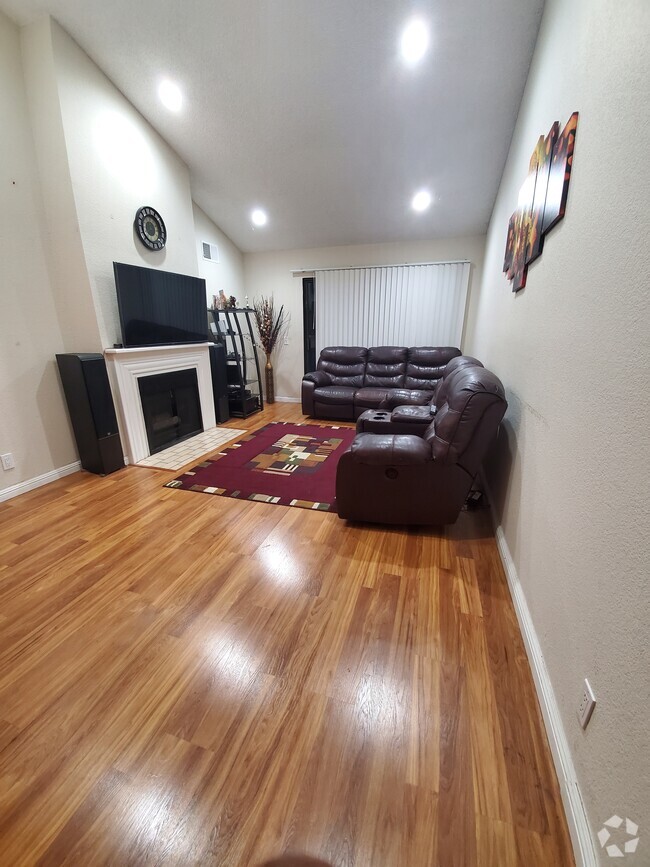
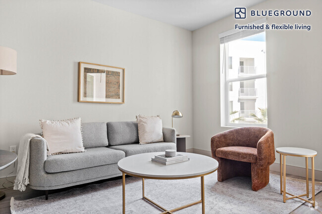
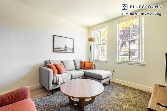
You May Also Like
Similar Rentals Nearby

What Are Walk Score®, Transit Score®, and Bike Score® Ratings?
Walk Score® measures the walkability of any address. Transit Score® measures access to public transit. Bike Score® measures the bikeability of any address.
What is a Sound Score Rating?
A Sound Score Rating aggregates noise caused by vehicle traffic, airplane traffic and local sources