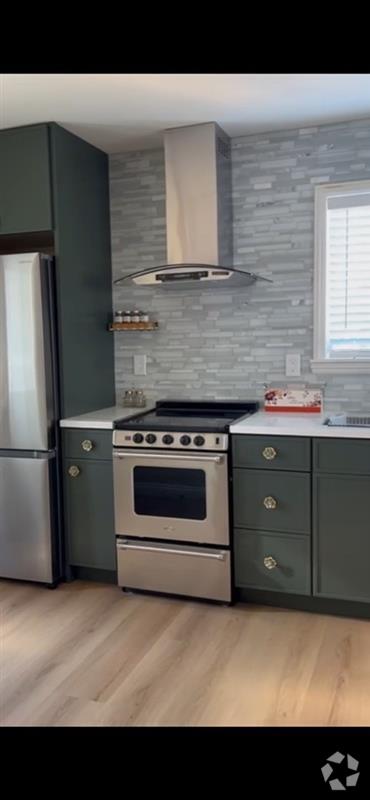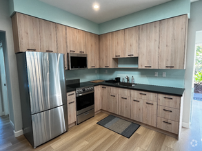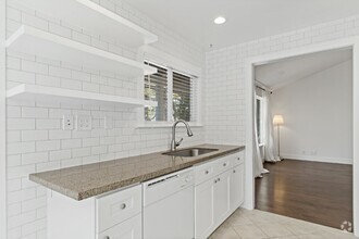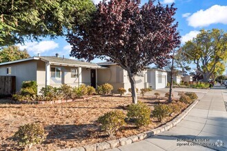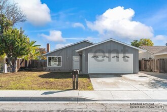

Check Back Soon for Upcoming Availability
 This Property
 Available Property
On the coast of the San Francisco Bay, between Redwood City and Palo Alto, rests Menlo Park. Home to tech giants and art lovers, Menlo Park marries the two seamlessly. This is most apparent at the Pace Gallery of Art and Technology, where digital and interactive art exhibits are the norm.
Menlo Park boasts active community involvement with events such as a popular summer concert series and a large Fourth of July Parade. A Designated Tree City USA community, Menlo Park offers residents access to a variety of parks and outdoor activities. Book worms rejoice in the expansive and independent Kepler’s Books.
Convenient to San Francisco International, San Jose International, and Oakland International airports as well as CalTrain station and shuttles, Menlo Park makes traveling and commuting simple.
Learn more about living in Menlo Park| Colleges & Universities | Distance | ||
|---|---|---|---|
| Colleges & Universities | Distance | ||
| Drive: | 10 min | 4.2 mi | |
| Drive: | 16 min | 5.1 mi | |
| Drive: | 12 min | 6.4 mi | |
| Drive: | 19 min | 8.4 mi |
Transportation options available in Menlo Park include Bayshore/Nasa Station, located 8.8 miles from 370 Hamilton Ave. 370 Hamilton Ave is near Norman Y Mineta San Jose International, located 16.3 miles or 23 minutes away, and San Francisco International, located 17.9 miles or 25 minutes away.
| Transit / Subway | Distance | ||
|---|---|---|---|
| Transit / Subway | Distance | ||
|
|
Drive: | 14 min | 8.8 mi |
|
|
Drive: | 14 min | 9.1 mi |
|
|
Drive: | 15 min | 9.3 mi |
|
|
Drive: | 15 min | 9.4 mi |
|
|
Drive: | 15 min | 9.7 mi |
| Commuter Rail | Distance | ||
|---|---|---|---|
| Commuter Rail | Distance | ||
| Drive: | 10 min | 3.1 mi | |
| Drive: | 10 min | 3.4 mi | |
| Drive: | 10 min | 5.0 mi | |
| Drive: | 11 min | 5.3 mi | |
| Drive: | 13 min | 7.2 mi |
| Airports | Distance | ||
|---|---|---|---|
| Airports | Distance | ||
|
Norman Y Mineta San Jose International
|
Drive: | 23 min | 16.3 mi |
|
San Francisco International
|
Drive: | 25 min | 17.9 mi |
Time and distance from 370 Hamilton Ave.
| Shopping Centers | Distance | ||
|---|---|---|---|
| Shopping Centers | Distance | ||
| Walk: | 13 min | 0.7 mi | |
| Drive: | 5 min | 2.3 mi | |
| Drive: | 8 min | 2.3 mi |
| Parks and Recreation | Distance | ||
|---|---|---|---|
| Parks and Recreation | Distance | ||
|
Seminary Oaks Park
|
Drive: | 6 min | 1.9 mi |
|
Bayfront Park
|
Drive: | 6 min | 2.0 mi |
|
Hopkins Creekside Park
|
Drive: | 7 min | 2.1 mi |
|
Burgess Park
|
Drive: | 9 min | 3.0 mi |
|
Holbrook-Palmer Park
|
Drive: | 9 min | 3.6 mi |
| Hospitals | Distance | ||
|---|---|---|---|
| Hospitals | Distance | ||
| Drive: | 13 min | 4.3 mi | |
| Drive: | 8 min | 4.3 mi | |
| Drive: | 15 min | 4.9 mi |
| Military Bases | Distance | ||
|---|---|---|---|
| Military Bases | Distance | ||
| Drive: | 16 min | 9.2 mi |
You May Also Like
Similar Rentals Nearby
-
-
-
-
-
-
-
$2,9001 Bed, 1 Bath, 480 sq ftHouse for Rent
-
$3,9003 Beds, 1.5 Baths, 1,048 sq ftHouse for Rent
-
$4,4003 Beds, 2.5 Baths, 1,112 sq ftHouse for Rent
-
$4,4003 Beds, 2 Baths, 1,200 sq ftHouse for Rent
What Are Walk Score®, Transit Score®, and Bike Score® Ratings?
Walk Score® measures the walkability of any address. Transit Score® measures access to public transit. Bike Score® measures the bikeability of any address.
What is a Sound Score Rating?
A Sound Score Rating aggregates noise caused by vehicle traffic, airplane traffic and local sources

