
3845 Nolan Ave Unit 1
Cheviot, OH 45211
-
Bedrooms
1
-
Bathrooms
1
-
Square Feet
700 sq ft
-
Available
Available Now
Highlight
- Pets Allowed

About This Home
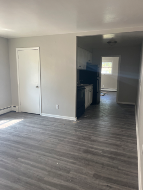
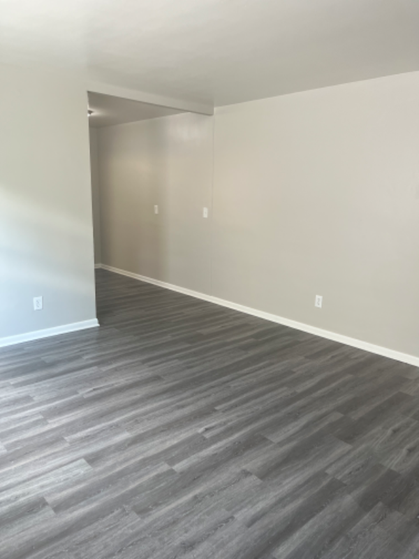
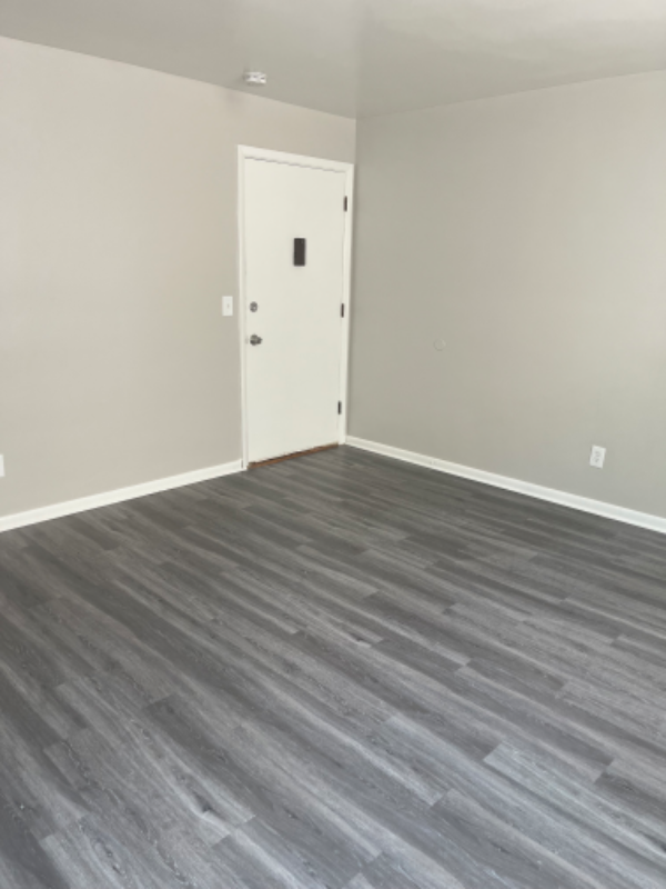
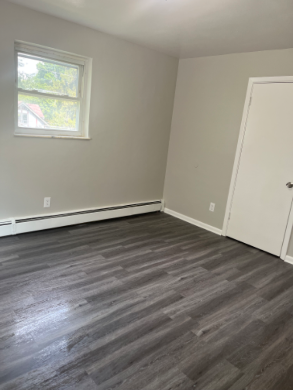
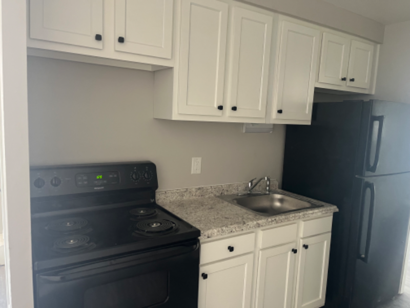
Property Id: 1255430 Hot!! Brand new!!Very cute 1 bedroom/1bath apartment located in Cheviot. Apartment is all redone with nice new gray laminate flooring, new kitchen and new bath. Call today for your own private tour.
3845 Nolan Ave is an apartment community located in Hamilton County and the 45211 ZIP Code.
Features
- Oven
- Refrigerator
- Lawn
Fees and Policies
The fees below are based on community-supplied data and may exclude additional fees and utilities.
- Dogs Allowed
-
Fees not specified
- Cats Allowed
-
Fees not specified
Details
Utilities Included
-
Gas
-
Water
-
Trash Removal
-
Sewer
Contact
- Phone Number
- Contact
-
Source

- Oven
- Refrigerator
- Lawn
| Colleges & Universities | Distance | ||
|---|---|---|---|
| Colleges & Universities | Distance | ||
| Drive: | 13 min | 5.5 mi | |
| Drive: | 17 min | 7.1 mi | |
| Drive: | 16 min | 7.4 mi | |
| Drive: | 17 min | 7.8 mi |
Transportation options available in Cheviot include Brewery District Station, Elm & Henry, located 6.8 miles from 3845 Nolan Ave Unit 1. 3845 Nolan Ave Unit 1 is near Cincinnati/Northern Kentucky International, located 22.1 miles or 41 minutes away.
| Transit / Subway | Distance | ||
|---|---|---|---|
| Transit / Subway | Distance | ||
| Drive: | 17 min | 6.8 mi | |
| Drive: | 17 min | 7.0 mi | |
| Drive: | 18 min | 7.1 mi | |
| Drive: | 18 min | 7.2 mi | |
| Drive: | 18 min | 7.3 mi |
| Commuter Rail | Distance | ||
|---|---|---|---|
| Commuter Rail | Distance | ||
|
|
Drive: | 17 min | 8.1 mi |
| Airports | Distance | ||
|---|---|---|---|
| Airports | Distance | ||
|
Cincinnati/Northern Kentucky International
|
Drive: | 41 min | 22.1 mi |
Time and distance from 3845 Nolan Ave Unit 1.
| Shopping Centers | Distance | ||
|---|---|---|---|
| Shopping Centers | Distance | ||
| Walk: | 13 min | 0.7 mi | |
| Walk: | 14 min | 0.8 mi | |
| Walk: | 19 min | 1.0 mi |
| Parks and Recreation | Distance | ||
|---|---|---|---|
| Parks and Recreation | Distance | ||
|
Mt. Airy Forest
|
Drive: | 8 min | 3.2 mi |
|
Mitchell Memorial Forest
|
Drive: | 10 min | 4.6 mi |
|
Imago Earth Center
|
Drive: | 15 min | 5.7 mi |
|
Buttercup Valley
|
Drive: | 14 min | 6.1 mi |
|
LaBoiteaux Woods
|
Drive: | 17 min | 7.3 mi |
| Hospitals | Distance | ||
|---|---|---|---|
| Hospitals | Distance | ||
| Drive: | 8 min | 2.9 mi | |
| Drive: | 14 min | 6.6 mi | |
| Drive: | 17 min | 7.9 mi |
| Military Bases | Distance | ||
|---|---|---|---|
| Military Bases | Distance | ||
| Drive: | 77 min | 56.9 mi | |
| Drive: | 83 min | 61.9 mi | |
| Drive: | 86 min | 65.2 mi |
You May Also Like
What Are Walk Score®, Transit Score®, and Bike Score® Ratings?
Walk Score® measures the walkability of any address. Transit Score® measures access to public transit. Bike Score® measures the bikeability of any address.
What is a Sound Score Rating?
A Sound Score Rating aggregates noise caused by vehicle traffic, airplane traffic and local sources
3845 Nolan Ave
Cheviot, OH 45211