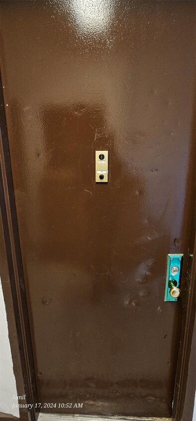
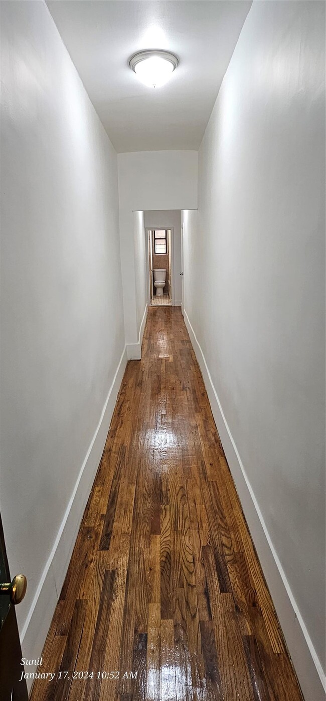
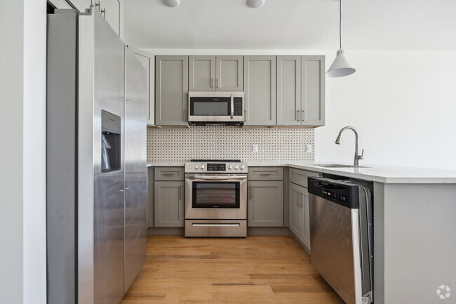
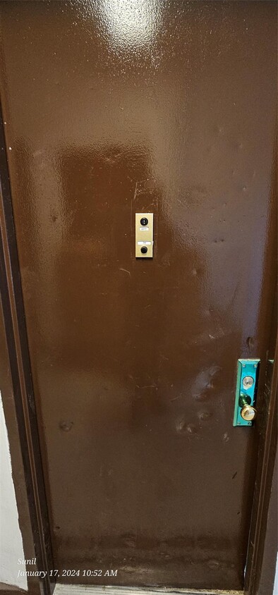
385 Chestnut St Unit 2E
New York, NY 11208
-
Bedrooms
1
-
Bathrooms
1
-
Square Feet
475 sq ft
-
Available
Available Now

About This Home
385 Chestnut Street,Brooklyn NY 11208 was built in 1930. This walk-up apartment has sixteen families with one store front popularly known as My Neighborhood Grocery a local convienience store. Based on information submitted to the MLS GRID as of [see last changed date above]. All data is obtained from various sources and may not have been verified by broker or MLS GRID. Supplied Open House Information is subject to change without notice. All information should be independently reviewed and verified for accuracy. Properties may or may not be listed by the office/agent presenting the information. Some IDX listings have been excluded from this website. Prices displayed on all Sold listings are the Last Known Listing Price and may not be the actual selling price.
385 Chestnut St is an apartment community located in Kings County and the 11208 ZIP Code.
Features
- Smoke Free
- Pool
Contact
- Listed by Sunil Jaikaran | Highline Real Estate Services
- Phone Number (917) 717-9128
- Contact
-
Source
 OneKey® MLS
- Smoke Free
- Pool
East New York is a sprawling suburb in Brooklyn with an urban, in-city vibe. This neighborhood is considered a residential community, and renters appreciate the area’s affordability, compared to other districts in the city. East New York has plenty of access to mass transit, and residents can easily get into Brooklyn and Manhattan from town. East New York is mostly known for being home to Gateway Center, a large shopping destination, and Shirley Chisholm State Park overlooking the Jamaica Bay. Neighborhood parks, schools, supermarkets, and restaurants can be found in this expansive, bayfront neighborhood as well.
Learn more about living in East New York| Colleges & Universities | Distance | ||
|---|---|---|---|
| Colleges & Universities | Distance | ||
| Drive: | 13 min | 4.8 mi | |
| Drive: | 9 min | 5.1 mi | |
| Drive: | 15 min | 5.4 mi | |
| Drive: | 15 min | 8.6 mi |
Transportation options available in New York include Euclid Avenue, located 0.2 mile from 385 Chestnut St Unit 2E. 385 Chestnut St Unit 2E is near John F Kennedy International, located 6.8 miles or 11 minutes away, and Laguardia, located 10.5 miles or 19 minutes away.
| Transit / Subway | Distance | ||
|---|---|---|---|
| Transit / Subway | Distance | ||
|
|
Walk: | 4 min | 0.2 mi |
|
|
Walk: | 9 min | 0.5 mi |
|
|
Walk: | 10 min | 0.5 mi |
|
|
Walk: | 10 min | 0.5 mi |
|
|
Walk: | 11 min | 0.6 mi |
| Commuter Rail | Distance | ||
|---|---|---|---|
| Commuter Rail | Distance | ||
|
|
Drive: | 6 min | 2.4 mi |
|
|
Drive: | 8 min | 4.2 mi |
|
|
Drive: | 10 min | 4.3 mi |
|
|
Drive: | 12 min | 4.4 mi |
|
|
Drive: | 12 min | 4.5 mi |
| Airports | Distance | ||
|---|---|---|---|
| Airports | Distance | ||
|
John F Kennedy International
|
Drive: | 11 min | 6.8 mi |
|
Laguardia
|
Drive: | 19 min | 10.5 mi |
Time and distance from 385 Chestnut St Unit 2E.
| Shopping Centers | Distance | ||
|---|---|---|---|
| Shopping Centers | Distance | ||
| Walk: | 15 min | 0.8 mi | |
| Walk: | 19 min | 1.0 mi | |
| Drive: | 3 min | 1.5 mi |
| Parks and Recreation | Distance | ||
|---|---|---|---|
| Parks and Recreation | Distance | ||
|
Highland Park Childrens Garden
|
Drive: | 3 min | 1.4 mi |
|
Highland Park and Ridgewood Reservoir
|
Drive: | 4 min | 1.6 mi |
|
Linden Playground
|
Drive: | 4 min | 2.0 mi |
|
Betsy Head Memorial Playground
|
Drive: | 8 min | 2.8 mi |
|
Forest Park - Brooklyn-Queens
|
Drive: | 7 min | 3.2 mi |
| Hospitals | Distance | ||
|---|---|---|---|
| Hospitals | Distance | ||
| Drive: | 6 min | 3.3 mi | |
| Drive: | 9 min | 3.4 mi | |
| Drive: | 10 min | 3.8 mi |
| Military Bases | Distance | ||
|---|---|---|---|
| Military Bases | Distance | ||
| Drive: | 17 min | 10.1 mi | |
| Drive: | 25 min | 11.6 mi |
You May Also Like
Similar Rentals Nearby
What Are Walk Score®, Transit Score®, and Bike Score® Ratings?
Walk Score® measures the walkability of any address. Transit Score® measures access to public transit. Bike Score® measures the bikeability of any address.
What is a Sound Score Rating?
A Sound Score Rating aggregates noise caused by vehicle traffic, airplane traffic and local sources
