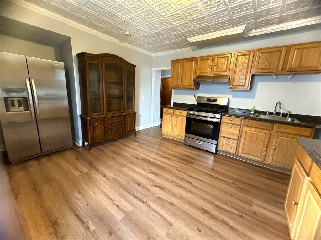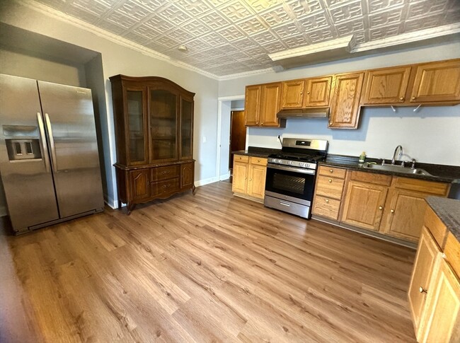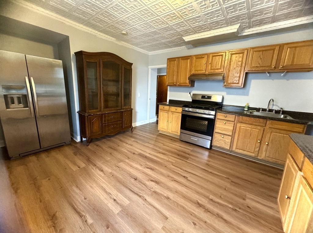
-
Monthly Rent
$4,500
-
Bedrooms
3 bd
-
Bathrooms
2 ba
-
Square Feet
1,550 sq ft
Details

About This Property
If you're moving to Somerville, MA, this great property could be your new place. You'll enjoy this great location at 39 Montrose St in Somerville and the destinations nearby. Get started on your move to a new place. Contact us to learn more about this property.
39 Montrose St is an apartment community located in Middlesex County and the 02143 ZIP Code. This area is served by the Somerville attendance zone.
Contact
Fees and Policies
The fees below are based on community-supplied data and may exclude additional fees and utilities.
Details
Property Information
-
2 units
The 120-foot hill that occupies the Winter Hill neighborhood played a key role in the American Revolution – but all signs of its significance during that time have vanished. The name dates back to the early 1600s, and early maps of the area show Winter Hill Fort as a major military installation. But while very little remains to pay tribute to Winter Hill’s history, the residents haven’t forgotten. In fact, they re-enact Paul Revere’s ride through Winter Hill as part of Boston’s Patriots Day events.
Winter Hill is considered a hip, trendy Somerville neighborhood with great bus service and a family-friendly vibe. The location is excellent, with easy access to nearby Harvard University, Tufts University, and the Massachusetts Institute of Technology. Somerville is south of Medford, northeast of Cambridge, and northwest of Boston.
Most of the shops and restaurants in Winter Hill are located along Broadway.
Learn more about living in Winter Hill| Colleges & Universities | Distance | ||
|---|---|---|---|
| Colleges & Universities | Distance | ||
| Drive: | 4 min | 1.4 mi | |
| Drive: | 6 min | 1.9 mi | |
| Drive: | 5 min | 2.0 mi | |
| Drive: | 7 min | 2.1 mi |
Transportation options available in Somerville include Gilman Square, located 0.2 miles from 39 Montrose St Unit 2. 39 Montrose St Unit 2 is near General Edward Lawrence Logan International, located 6.3 miles or 14 minutes away.
| Transit / Subway | Distance | ||
|---|---|---|---|
| Transit / Subway | Distance | ||
| Walk: | 4 min | 0.2 mi | |
| Walk: | 11 min | 0.6 mi | |
| Drive: | 4 min | 1.3 mi | |
| Drive: | 5 min | 1.7 mi | |
| Drive: | 8 min | 2.5 mi |
| Commuter Rail | Distance | ||
|---|---|---|---|
| Commuter Rail | Distance | ||
|
|
Drive: | 5 min | 1.5 mi |
|
|
Drive: | 8 min | 3.2 mi |
|
|
Drive: | 8 min | 3.5 mi |
|
|
Drive: | 8 min | 4.3 mi |
|
|
Drive: | 11 min | 4.6 mi |
| Airports | Distance | ||
|---|---|---|---|
| Airports | Distance | ||
|
General Edward Lawrence Logan International
|
Drive: | 14 min | 6.3 mi |
Time and distance from 39 Montrose St Unit 2.
| Shopping Centers | Distance | ||
|---|---|---|---|
| Shopping Centers | Distance | ||
| Walk: | 15 min | 0.8 mi | |
| Drive: | 3 min | 1.1 mi | |
| Drive: | 4 min | 1.5 mi |
| Parks and Recreation | Distance | ||
|---|---|---|---|
| Parks and Recreation | Distance | ||
|
Harvard Museum of Natural History
|
Drive: | 5 min | 1.9 mi |
|
Mineralogical and Geological Museum
|
Drive: | 5 min | 1.9 mi |
|
Harvard-Smithsonian Center for Astrophysics
|
Drive: | 8 min | 2.1 mi |
|
Mystic River Reservation
|
Drive: | 5 min | 2.3 mi |
|
Longfellow National Historic Site
|
Drive: | 7 min | 2.4 mi |
| Hospitals | Distance | ||
|---|---|---|---|
| Hospitals | Distance | ||
| Drive: | 5 min | 1.7 mi | |
| Drive: | 9 min | 3.0 mi | |
| Drive: | 7 min | 3.3 mi |
| Military Bases | Distance | ||
|---|---|---|---|
| Military Bases | Distance | ||
| Drive: | 24 min | 11.8 mi | |
| Drive: | 35 min | 18.5 mi |
39 Montrose St Unit 2 Photos
What Are Walk Score®, Transit Score®, and Bike Score® Ratings?
Walk Score® measures the walkability of any address. Transit Score® measures access to public transit. Bike Score® measures the bikeability of any address.
What is a Sound Score Rating?
A Sound Score Rating aggregates noise caused by vehicle traffic, airplane traffic and local sources


