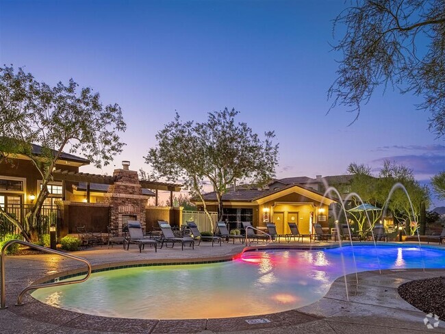
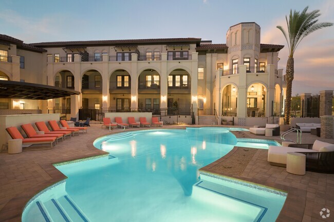
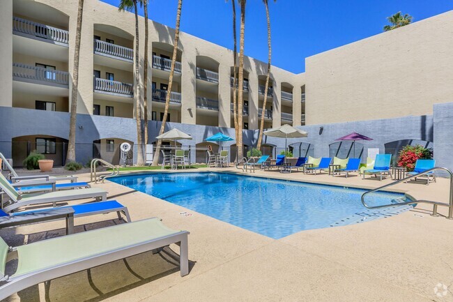
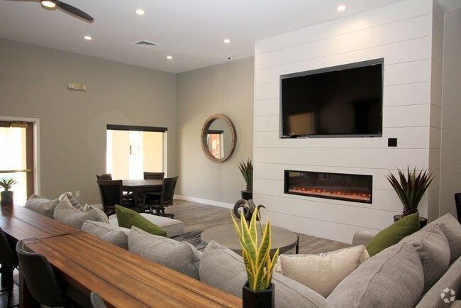
4045 Bell Rd
Phoenix, AZ 85053
-
Bedrooms
1
-
Bathrooms
1
-
Square Feet
765 sq ft
-
Available
Available Now
Highlights
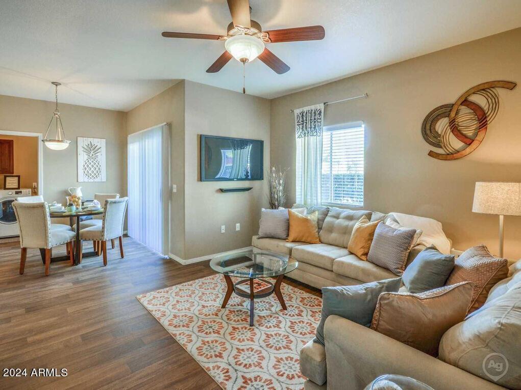
- Ceiling Fan
- Heating Available

About This Home
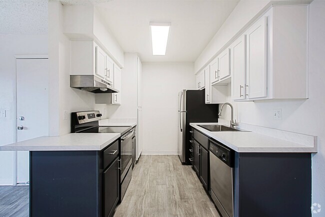
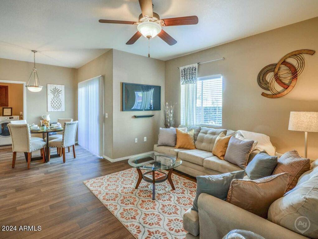
This unit has a Private Balcony/Patio,Disposal,Microwave,Ceiling Fans,9ft Ceilings,Dishwasher,Refrigerator,Covered parking,1 reserved spot per home. Uncovered for guest parking. This unit is located just west of the I-17 freeway and minutes away from the Agua Fria freeway.
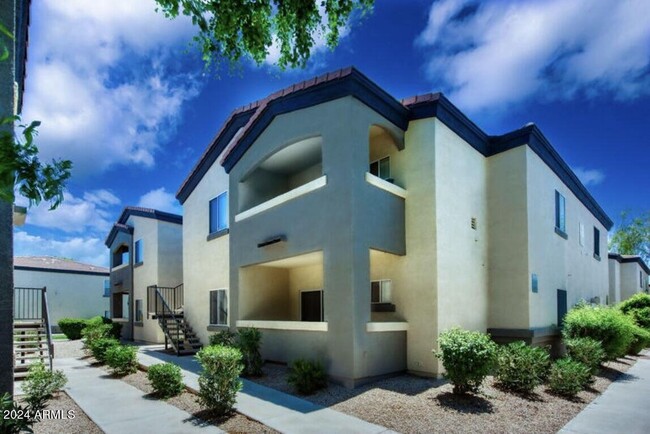
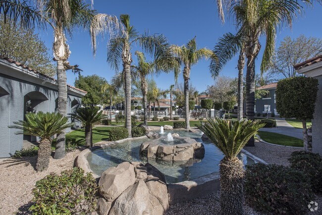
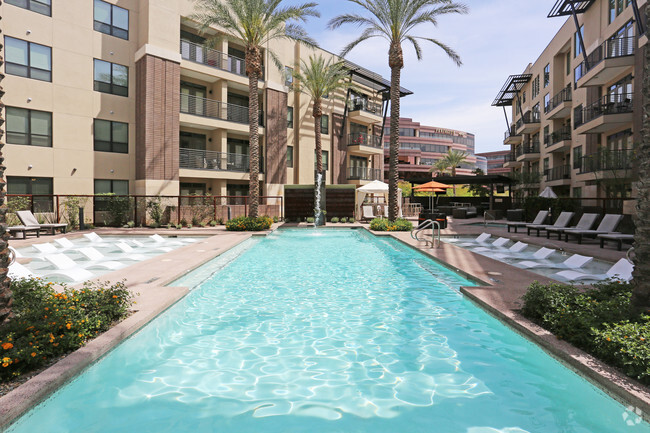
4045 Bell Rd is an apartment community located in Maricopa County and the 85053 ZIP Code.
Home Details
Home Type
Year Built
Bedrooms and Bathrooms
Home Design
Interior Spaces
Kitchen
Listing and Financial Details
Lot Details
Parking
Schools
Utilities
Community Details
Overview
Contact
- Listed by Angela Christine Tuccio
- Phone Number (602) 402-9532
- Contact
-
Source
Arizona Regional MLS
Deer Valley is a family-friendly suburb and residential neighborhood that’s constantly evolving. There are abundant outdoor recreational opportunities in Deer Valley because of its proximity to several natural attractions like Deem Hills and Cave Buttes, both known for scenic hiking and mountain biking trails. Residents have easy access to abundant shopping opportunities without having to leave town at places like Deer Valley Towne Center and Bell Towne Plaza. Deer Valley is home to good public schools and is the ideal suburb for those commuting to Downtown Phoenix and beyond, located less than 20 miles south of town along Interstate 17.
Learn more about living in Deer Valley| Colleges & Universities | Distance | ||
|---|---|---|---|
| Colleges & Universities | Distance | ||
| Drive: | 8 min | 3.4 mi | |
| Drive: | 10 min | 4.0 mi | |
| Drive: | 10 min | 4.1 mi | |
| Drive: | 16 min | 7.5 mi |
Transportation options available in Phoenix include 19Th Ave/Dunlap, located 7.9 miles from 4045 Bell Rd Unit 1A. 4045 Bell Rd Unit 1A is near Phoenix Sky Harbor International, located 22.3 miles or 32 minutes away.
| Transit / Subway | Distance | ||
|---|---|---|---|
| Transit / Subway | Distance | ||
|
|
Drive: | 13 min | 7.9 mi |
|
|
Drive: | 14 min | 9.0 mi |
|
|
Drive: | 14 min | 9.6 mi |
|
|
Drive: | 16 min | 10.7 mi |
|
|
Drive: | 18 min | 12.0 mi |
| Airports | Distance | ||
|---|---|---|---|
| Airports | Distance | ||
|
Phoenix Sky Harbor International
|
Drive: | 32 min | 22.3 mi |
Time and distance from 4045 Bell Rd Unit 1A.
| Shopping Centers | Distance | ||
|---|---|---|---|
| Shopping Centers | Distance | ||
| Walk: | 6 min | 0.3 mi | |
| Walk: | 9 min | 0.5 mi | |
| Walk: | 10 min | 0.5 mi |
| Parks and Recreation | Distance | ||
|---|---|---|---|
| Parks and Recreation | Distance | ||
|
Conocido Park
|
Drive: | 3 min | 1.5 mi |
|
Acoma Park
|
Drive: | 4 min | 1.8 mi |
|
Adobe Mountain Park
|
Drive: | 9 min | 4.3 mi |
|
Paseo Highlands Park
|
Drive: | 9 min | 5.0 mi |
|
Adobe Dam Regional Park
|
Drive: | 11 min | 5.9 mi |
| Hospitals | Distance | ||
|---|---|---|---|
| Hospitals | Distance | ||
| Drive: | 7 min | 3.6 mi | |
| Drive: | 8 min | 4.1 mi | |
| Drive: | 9 min | 4.6 mi |
| Military Bases | Distance | ||
|---|---|---|---|
| Military Bases | Distance | ||
| Drive: | 28 min | 17.8 mi | |
| Drive: | 33 min | 22.1 mi | |
| Drive: | 109 min | 80.8 mi |
You May Also Like
Similar Rentals Nearby
What Are Walk Score®, Transit Score®, and Bike Score® Ratings?
Walk Score® measures the walkability of any address. Transit Score® measures access to public transit. Bike Score® measures the bikeability of any address.
What is a Sound Score Rating?
A Sound Score Rating aggregates noise caused by vehicle traffic, airplane traffic and local sources
