$1,250 / Month
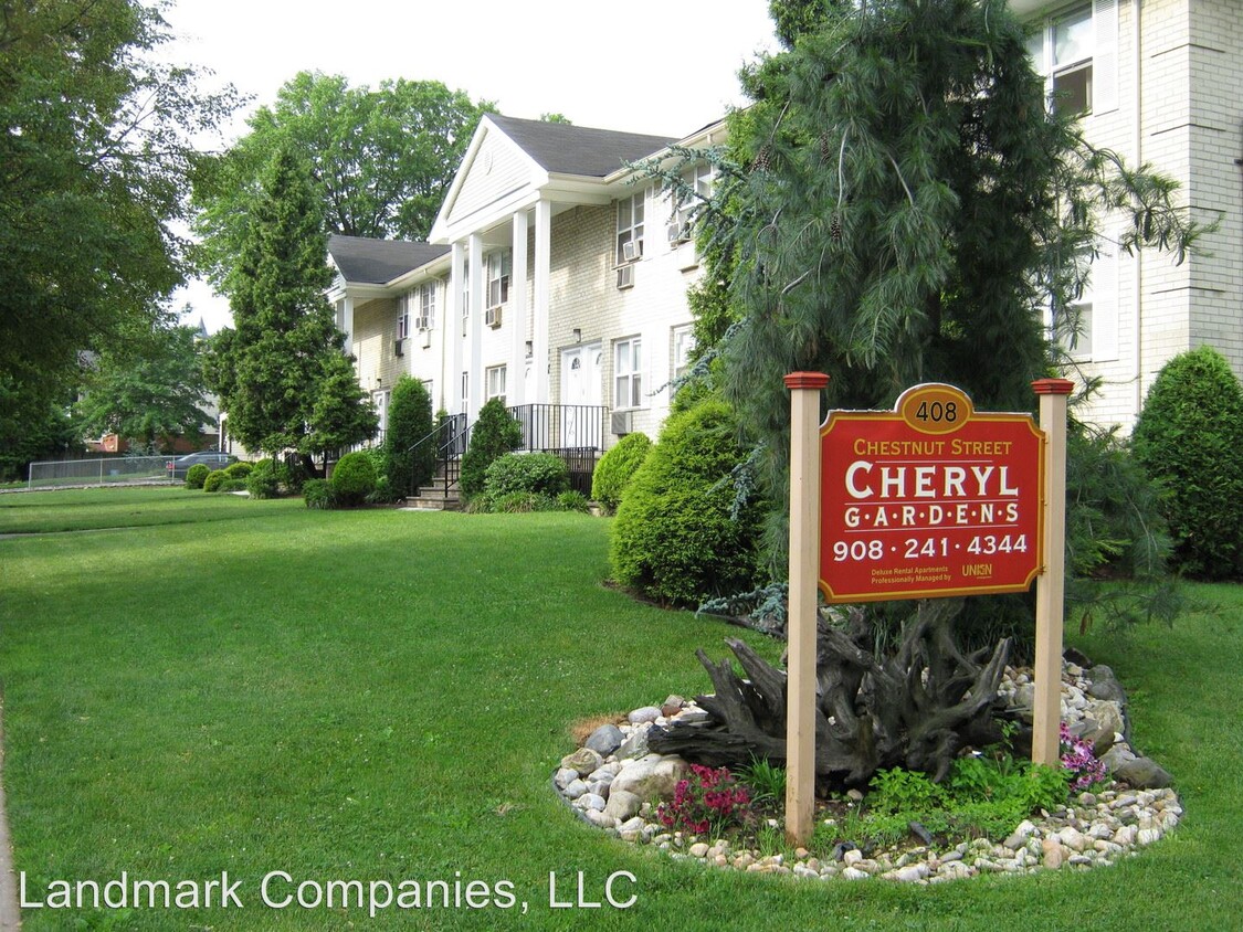
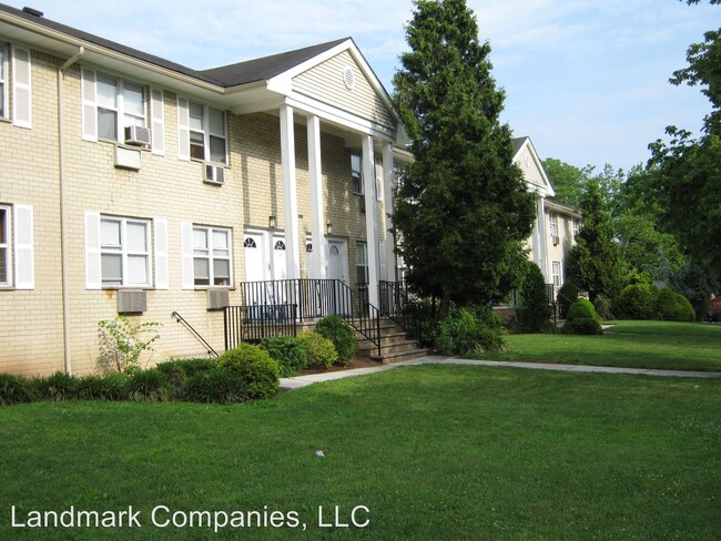
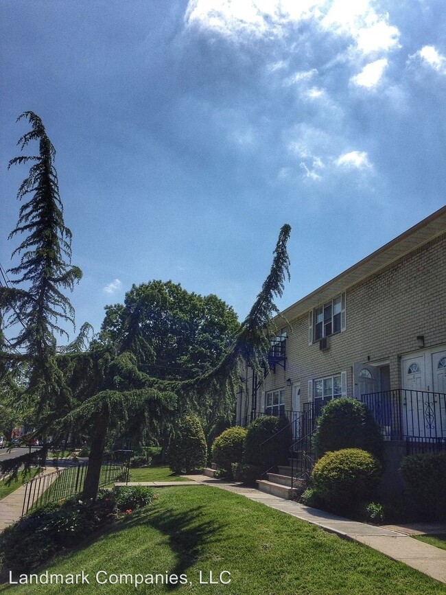
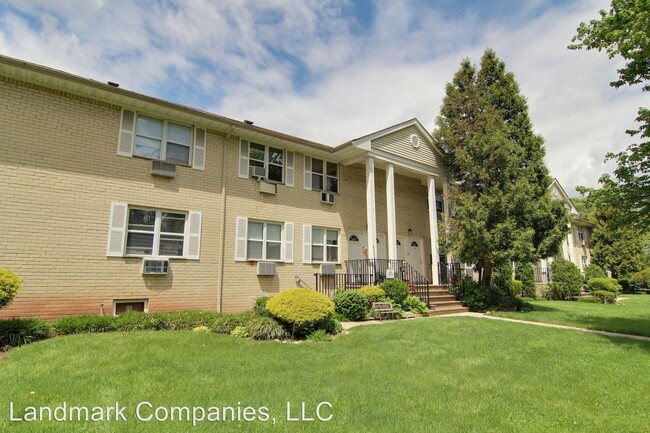
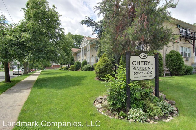
408 Chestnut St
Roselle, NJ 07203
2 Weeks Ago
Favorites
408 Chestnut St

Favorites
Check Back Soon for Upcoming Availability
| Beds | Baths | Average SF |
|---|---|---|
| 1 Bedroom 1 Bedroom 1 Br | 1 Bath 1 Bath 1 Ba | 580 SF |
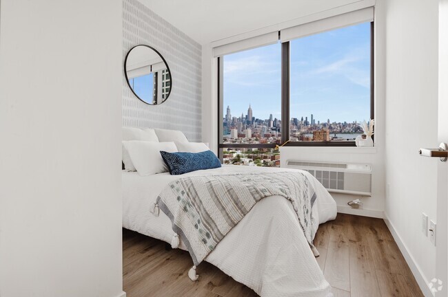
About This Property
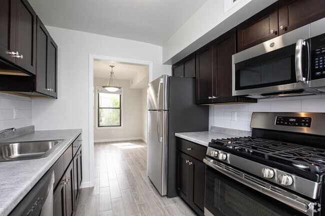
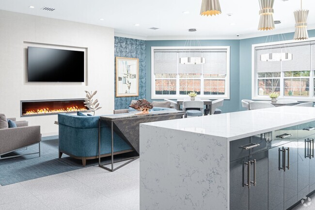
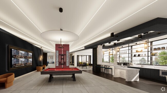
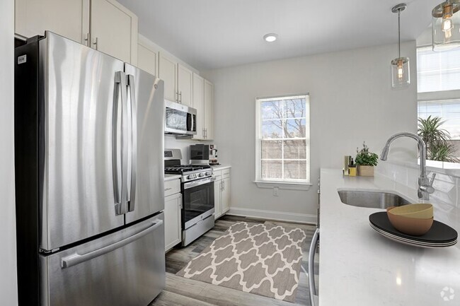
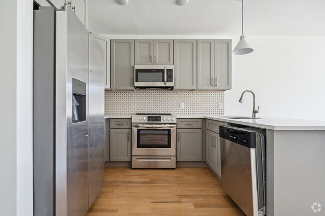
(908) 245-3200 - One Bedroom on first floor with a Den - One Bedroom on first floor with a den Cheryl Garden apartments is located in the quiet town of Roselle, NJ directly next to the Roselle Library and on the corner of E.4th and Chestnut Street. Our property is conveniently located with easy access to Route 1 & 9, and the Garden State Parkway. This quaint town is an easy walk to local shopping, or your favorite doughnut store. Apartment Features: •Air Conditioner •Oak Hardwood Floors •Controlled Access •Renovated Bathrooms (select units) •Window Coverings •Wired for Cable & Verizon FiOS Property Features: •Convenient to Shopping •Laundry Room on Premise •Accepts Online Payments •24 Hour Emergency Maintenance •Garage Rental (subject to availability) •Close to Major Highways •Close to Warinanco Park & Skating Rink •Close to Shopping and Banks •1 Mile to Rail Line For more information please email us at UnionRentals@AptRentNJ.com or call 908-245-3200 No Dogs Allowed (RLNE2694955) Pet policies: Cats Allowed, No Dogs Allowed.
408 Chestnut St is an apartment community located in Union County and the 07203 ZIP Code.
Unique Features
- No Dogs Allowed
Fees and Policies
The fees below are based on community-supplied data and may exclude additional fees and utilities.
Location
Get Directions
Ideally located about 10 miles southwest of Newark and 18 miles from New York City, Roselle is a cozy borough for those looking for a quieter place to call home. First settled around 1664, Roselle was settled by farmers looking for better farmland. It was part of the first New Jersey settlement called Elizabethtown. The borough was officially incorporated in 1894 as Roselle.
Today, this terrific community features beautiful parks and great shopping. Warinanco Park, the borough's largest park, offers ball fields, a running track, a playground, pedal boats, an ice skating rink, a fitness trail, a bicycle path, fishing, a spray pool, tennis courts, picnic areas, and shuffleboard. Roselle's tree-lined streets are mainly residential, with a shopping district located between Westfield Avenue and West 1st Avenue.
Learn more about living in Roselle
Amenities
- No Dogs Allowed
Education
| Colleges & Universities | Distance | ||
|---|---|---|---|
| Colleges & Universities | Distance | ||
| Drive: | 7 min | 2.7 mi | |
| Drive: | 8 min | 3.3 mi | |
| Drive: | 12 min | 4.0 mi | |
| Drive: | 19 min | 10.2 mi |
408 Chestnut St is within 7 minutes or 2.7 miles from Union County Coll., Elizabeth. It is also near Kean University and Union County College, Cranford.
Transportation options available in Roselle include Military Park, located 9.1 miles from 408 Chestnut St. 408 Chestnut St is near Newark Liberty International, located 12.2 miles or 18 minutes away, and Laguardia, located 27.4 miles or 52 minutes away.
| Transit / Subway | Distance | ||
|---|---|---|---|
| Transit / Subway | Distance | ||
|
|
Drive: | 16 min | 9.1 mi |
|
|
Drive: | 17 min | 9.6 mi |
| Drive: | 19 min | 10.0 mi | |
|
|
Drive: | 17 min | 10.5 mi |
|
|
Drive: | 17 min | 11.0 mi |
| Commuter Rail | Distance | ||
|---|---|---|---|
| Commuter Rail | Distance | ||
|
|
Drive: | 3 min | 1.3 mi |
|
|
Drive: | 5 min | 2.4 mi |
|
|
Drive: | 7 min | 2.6 mi |
|
|
Drive: | 7 min | 2.9 mi |
|
|
Drive: | 8 min | 3.6 mi |
| Airports | Distance | ||
|---|---|---|---|
| Airports | Distance | ||
|
Newark Liberty International
|
Drive: | 18 min | 12.2 mi |
|
Laguardia
|
Drive: | 52 min | 27.4 mi |
Time and distance from 408 Chestnut St.
| Shopping Centers | Distance | ||
|---|---|---|---|
| Shopping Centers | Distance | ||
| Drive: | 3 min | 1.1 mi | |
| Drive: | 3 min | 1.3 mi | |
| Drive: | 4 min | 1.3 mi |
408 Chestnut St has 3 shopping centers within 1.3 miles, which is about a 4-minute drive. The miles and minutes will be for the farthest away property.
| Parks and Recreation | Distance | ||
|---|---|---|---|
| Parks and Recreation | Distance | ||
|
William Miller Sperry Observatory
|
Drive: | 10 min | 3.8 mi |
|
Hawk Rise Sanctuary
|
Drive: | 12 min | 4.8 mi |
|
Merrill Park
|
Drive: | 15 min | 6.5 mi |
|
Staten Island Industrial Park
|
Drive: | 15 min | 7.4 mi |
|
Liberty State Park
|
Drive: | 16 min | 7.5 mi |
408 Chestnut St has 5 parks within 7.5 miles, including William Miller Sperry Observatory, Hawk Rise Sanctuary, and Merrill Park.
| Hospitals | Distance | ||
|---|---|---|---|
| Hospitals | Distance | ||
| Drive: | 8 min | 3.0 mi | |
| Drive: | 9 min | 3.9 mi | |
| Drive: | 13 min | 7.6 mi |
408 Chestnut St has 3 hospitals within 7.6 miles, the nearest is Trinitas Regional Medical Center which is 3.0 miles away and a 8 minute drive.
| Military Bases | Distance | ||
|---|---|---|---|
| Military Bases | Distance | ||
| Drive: | 17 min | 7.3 mi | |
| Drive: | 15 min | 7.7 mi | |
| Drive: | 23 min | 16.0 mi |
408 Chestnut St has 3 military bases within 16.0 miles, the nearest is Tamdques Reservation which is 7.3 miles away and a 17 minute drive.
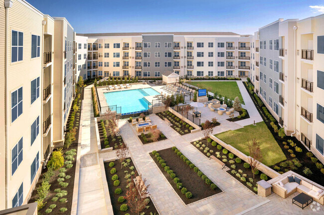
You May Also Like
Similar Rentals Nearby


What Are Walk Score®, Transit Score®, and Bike Score® Ratings?
Walk Score® measures the walkability of any address. Transit Score® measures access to public transit. Bike Score® measures the bikeability of any address.
What is a Sound Score Rating?
A Sound Score Rating aggregates noise caused by vehicle traffic, airplane traffic and local sources

408 Chestnut St
Roselle, NJ 07203