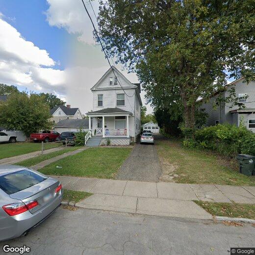
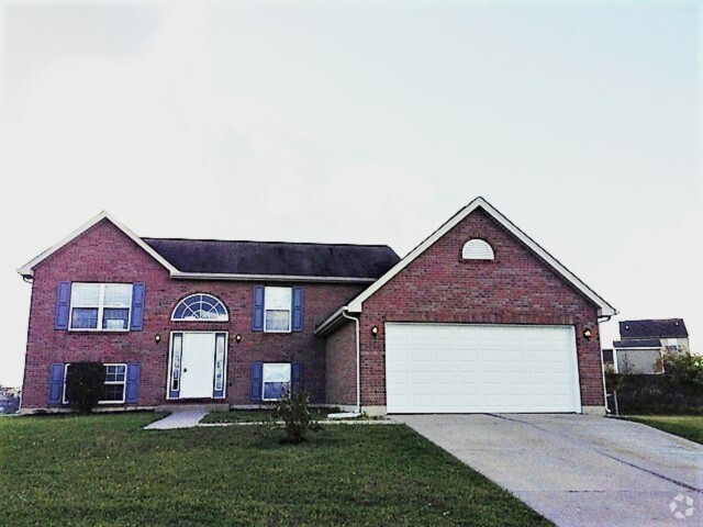
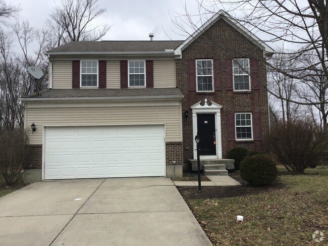
4130 Ivanhoe Ave
4130 Ivanhoe Ave
Norwood, OH 45212
2 Weeks Ago
Favorites
4130 Ivanhoe Ave

Favorites
Check Back Soon for Upcoming Availability
Location
Get Directions
Norwood was one of the earliest suburbs to form around Cincinnati. Once a hub of industry and innovation thanks to the railroads and nearby metropolis that fed the area, Norwood is now a picturesque enclave that attracts renters of all types.
The city of Norwood has a number of historical landmarks that contribute to the overall identity of the area. The Norwood Mound is a centuries old Native American burial ground that stands as the highest point in the area. Vineyard Central is a gorgeous 114-year-old Catholic church near the downtown district that still hosts a congregation. There are other great local spots to experience the city, not just landmarks. Grab a drink at The Wood, a popular neighborhood bar, or try Bluebird Restaurant, a classic American diner.
There are plenty of parks and golf courses around Norwood if you’re looking for fresh air. Commuters will appreciate the nearby I-71 that makes a drive to Cincinnati a breeze.
Learn more about living in Norwood
Education
| Colleges & Universities | Distance | ||
|---|---|---|---|
| Colleges & Universities | Distance | ||
| Walk: | 16 min | 0.9 mi | |
| Drive: | 8 min | 3.3 mi | |
| Drive: | 8 min | 3.4 mi | |
| Drive: | 15 min | 5.4 mi |
4130 Ivanhoe Ave is within 16 minutes or 0.9 mile from Xavier University. It is also near Univ. of Cincinnati, Medical and University of Cincinnati.
Transportation options available in Norwood include Hanke Exchange Station, 12Th & Main, located 4.7 miles from 4130 Ivanhoe Ave. 4130 Ivanhoe Ave is near Cincinnati/Northern Kentucky International, located 19.2 miles or 35 minutes away.
| Transit / Subway | Distance | ||
|---|---|---|---|
| Transit / Subway | Distance | ||
| Drive: | 10 min | 4.7 mi | |
| Drive: | 11 min | 4.9 mi | |
| Drive: | 11 min | 5.1 mi | |
| Drive: | 12 min | 5.3 mi | |
| Drive: | 12 min | 5.3 mi |
| Commuter Rail | Distance | ||
|---|---|---|---|
| Commuter Rail | Distance | ||
|
|
Drive: | 14 min | 7.2 mi |
| Airports | Distance | ||
|---|---|---|---|
| Airports | Distance | ||
|
Cincinnati/Northern Kentucky International
|
Drive: | 35 min | 19.2 mi |
Time and distance from 4130 Ivanhoe Ave.
| Shopping Centers | Distance | ||
|---|---|---|---|
| Shopping Centers | Distance | ||
| Walk: | 11 min | 0.6 mi | |
| Walk: | 16 min | 0.9 mi | |
| Walk: | 18 min | 1.0 mi |
4130 Ivanhoe Ave has 3 shopping centers within 1.0 mile, which is about a 18-minute walk. The miles and minutes will be for the farthest away property.
| Parks and Recreation | Distance | ||
|---|---|---|---|
| Parks and Recreation | Distance | ||
|
Avon Woods Natural Area/Preserve
|
Drive: | 3 min | 1.4 mi |
|
Eden Park
|
Drive: | 8 min | 3.1 mi |
|
Cincinnati Observatory
|
Drive: | 9 min | 3.6 mi |
|
Cincinnati Zoo and Botanical Garden
|
Drive: | 9 min | 3.7 mi |
|
Ault Park
|
Drive: | 10 min | 3.8 mi |
4130 Ivanhoe Ave has 5 parks within 3.8 miles, including Avon Woods Natural Area/Preserve, Cincinnati Zoo and Botanical Garden, and Eden Park.
| Hospitals | Distance | ||
|---|---|---|---|
| Hospitals | Distance | ||
| Drive: | 7 min | 2.7 mi | |
| Drive: | 9 min | 2.8 mi | |
| Drive: | 7 min | 3.0 mi |
4130 Ivanhoe Ave has 3 hospitals within 3.0 miles, the nearest is Cincinnati Children's Hospital Medical Center which is 2.7 miles away and a 7 minute drive.
| Military Bases | Distance | ||
|---|---|---|---|
| Military Bases | Distance | ||
| Drive: | 66 min | 50.1 mi | |
| Drive: | 72 min | 55.2 mi | |
| Drive: | 74 min | 58.5 mi |
4130 Ivanhoe Ave has 3 military bases within 58.5 miles, the nearest is Gentile Air Force Station which is 50.1 miles away and a 66 minute drive.
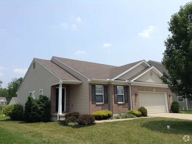
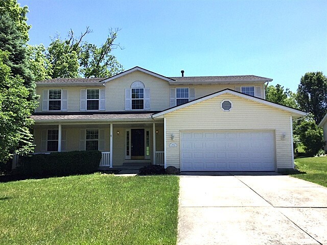
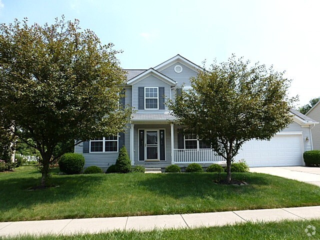
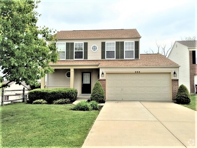
You May Also Like
Similar Rentals Nearby

What Are Walk Score®, Transit Score®, and Bike Score® Ratings?
Walk Score® measures the walkability of any address. Transit Score® measures access to public transit. Bike Score® measures the bikeability of any address.
What is a Sound Score Rating?
A Sound Score Rating aggregates noise caused by vehicle traffic, airplane traffic and local sources