
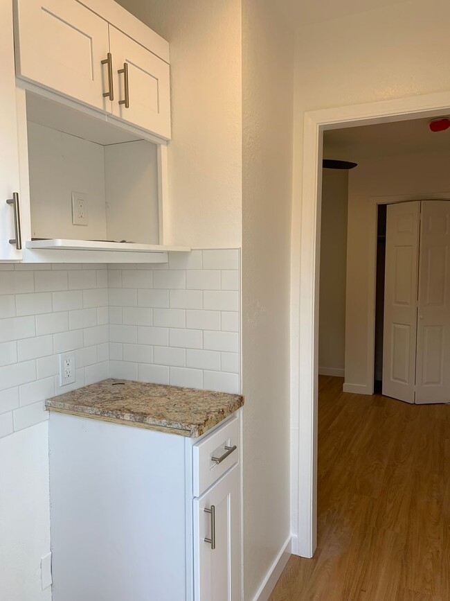
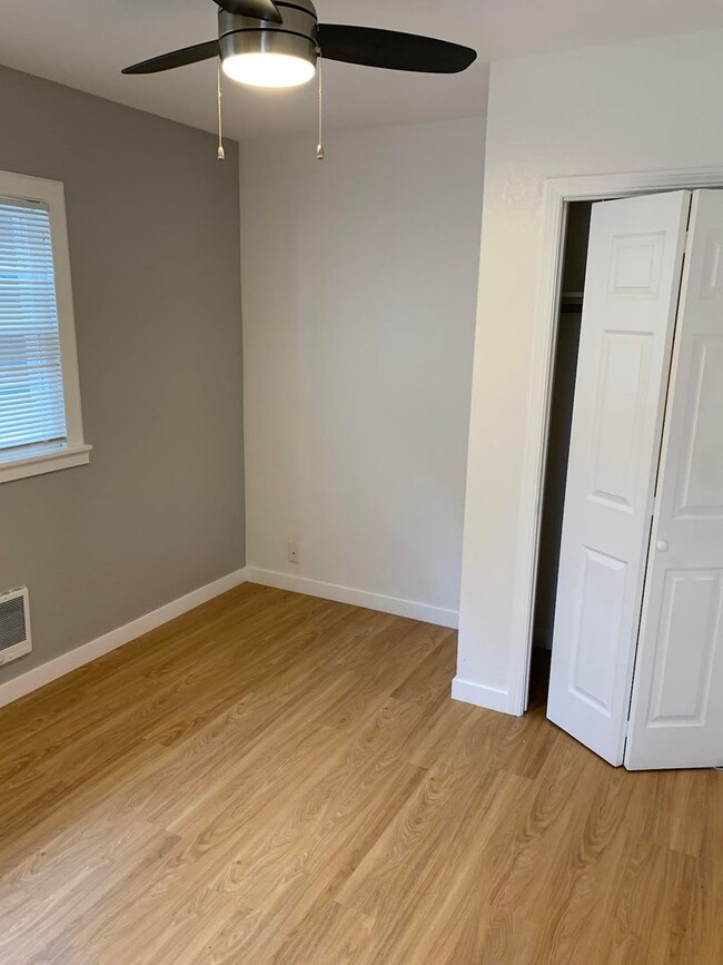
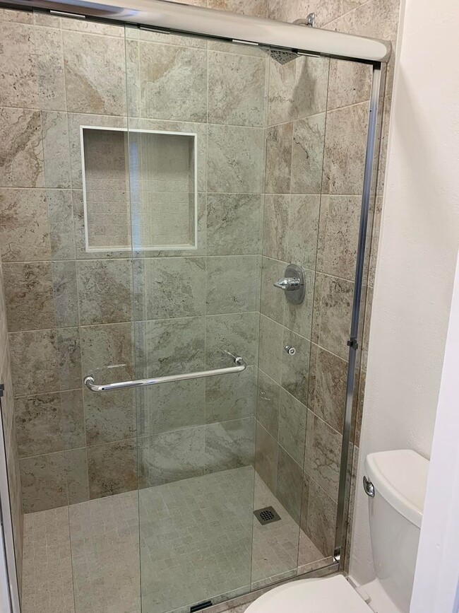
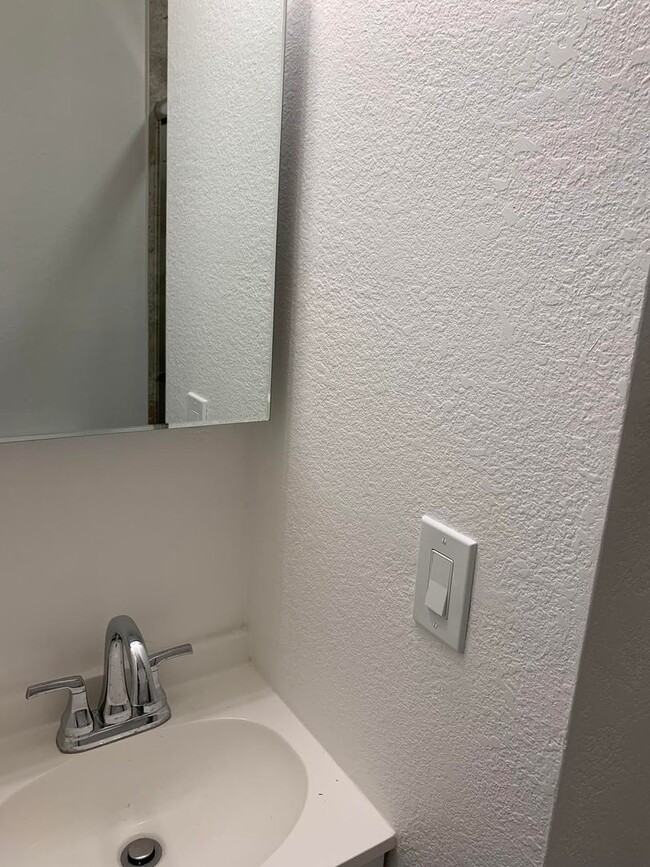
$1,644 / Month
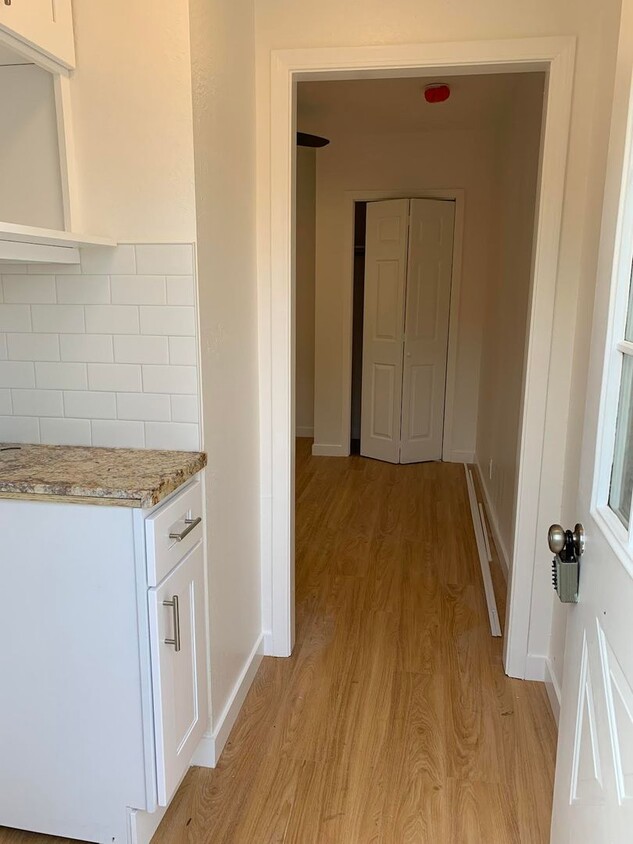
415 Tasso St Unit D
Palo Alto, CA 94301
Today
Favorites
650-464-8580
-
Bedrooms
Studio
-
Bathrooms
1
-
Square Feet
150 sq ft
-
Available
Available Now
415 Tasso St Unit D

Favorites
Contact
- Listed by Gibson | Gibson Portfolio Management, Inc.
- Phone Number
- Contact
Location
Get Directions
An outgoing vibe emanates from the Downtown North neighborhood. Downtown North provides an energy like no other in Palo Alto. Still, locals enjoy being part of a tight-knit community focused on safety, communication and most importantly: fun.
Palo Alto has one of the best public school systems in California, houses Stanford University, and has some of the most delicious dining and exciting shopping opportunities in the Bay Area. The placement of the city provides convenience for commuters to San Jose 24 miles to the Southeast or San Francisco 32 miles to the Northwest.
Learn more about living in Downtown Palo Alto
Education
| Colleges & Universities | Distance | ||
|---|---|---|---|
| Colleges & Universities | Distance | ||
| Drive: | 8 min | 2.5 mi | |
| Drive: | 7 min | 2.6 mi | |
| Drive: | 12 min | 5.6 mi | |
| Drive: | 17 min | 8.1 mi |
415 Tasso St Unit D is within 8 minutes or 2.5 miles from Stanford University. It is also near Menlo College and Foothill College, Middlefield.
Transportation options available in Palo Alto include Bayshore/Nasa Station, located 8.1 miles from 415 Tasso St Unit D. 415 Tasso St Unit D is near Norman Y Mineta San Jose International, located 15.5 miles or 23 minutes away, and San Francisco International, located 19.8 miles or 28 minutes away.
| Transit / Subway | Distance | ||
|---|---|---|---|
| Transit / Subway | Distance | ||
|
|
Drive: | 13 min | 8.1 mi |
|
|
Drive: | 13 min | 8.4 mi |
|
|
Drive: | 14 min | 8.5 mi |
|
|
Drive: | 14 min | 8.6 mi |
|
|
Drive: | 14 min | 8.9 mi |
| Commuter Rail | Distance | ||
|---|---|---|---|
| Commuter Rail | Distance | ||
| Walk: | 11 min | 0.6 mi | |
| Drive: | 5 min | 2.0 mi | |
| Drive: | 6 min | 2.2 mi | |
| Drive: | 13 min | 4.9 mi | |
| Drive: | 12 min | 5.0 mi |
| Airports | Distance | ||
|---|---|---|---|
| Airports | Distance | ||
|
Norman Y Mineta San Jose International
|
Drive: | 23 min | 15.5 mi |
|
San Francisco International
|
Drive: | 28 min | 19.8 mi |
Time and distance from 415 Tasso St Unit D.
| Shopping Centers | Distance | ||
|---|---|---|---|
| Shopping Centers | Distance | ||
| Drive: | 4 min | 1.2 mi | |
| Drive: | 4 min | 1.4 mi | |
| Drive: | 5 min | 1.5 mi |
415 Tasso St Unit D has 3 shopping centers within 1.5 miles, which is about a 5-minute drive. The miles and minutes will be for the farthest away property.
| Parks and Recreation | Distance | ||
|---|---|---|---|
| Parks and Recreation | Distance | ||
|
Hopkins Creekside Park
|
Walk: | 15 min | 0.8 mi |
|
Gamble Garden
|
Walk: | 20 min | 1.1 mi |
|
Junior Museum and Zoo
|
Walk: | 20 min | 1.1 mi |
|
Seminary Oaks Park
|
Drive: | 3 min | 1.1 mi |
|
El Palo Alto Park
|
Drive: | 4 min | 1.3 mi |
415 Tasso St Unit D has 5 parks within 1.3 miles, including Hopkins Creekside Park, El Palo Alto Park, and Gamble Garden.
| Hospitals | Distance | ||
|---|---|---|---|
| Hospitals | Distance | ||
| Drive: | 5 min | 1.6 mi | |
| Drive: | 6 min | 2.1 mi | |
| Drive: | 11 min | 6.2 mi |
415 Tasso St Unit D has 3 hospitals within 6.2 miles, the nearest is Lucile Salter Packard Children's Hospital at Stanford which is 1.6 miles away and a 5 minute drive.
| Military Bases | Distance | ||
|---|---|---|---|
| Military Bases | Distance | ||
| Drive: | 16 min | 8.4 mi |
415 Tasso St Unit D is 8.4 miles and a 16 minute drive from Ames Research Center.
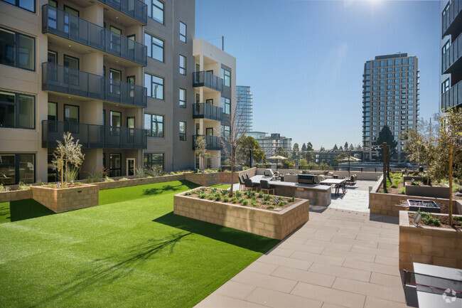
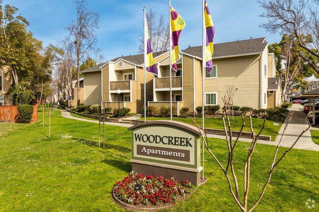
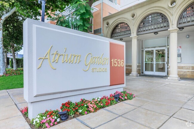
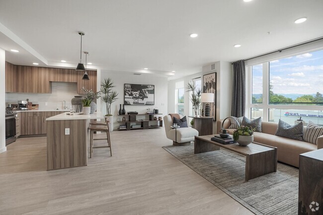
You May Also Like
Similar Rentals Nearby


What Are Walk Score®, Transit Score®, and Bike Score® Ratings?
Walk Score® measures the walkability of any address. Transit Score® measures access to public transit. Bike Score® measures the bikeability of any address.
What is a Sound Score Rating?
A Sound Score Rating aggregates noise caused by vehicle traffic, airplane traffic and local sources
415 Tasso St
Palo Alto, CA 94301