
$2,655 / Month
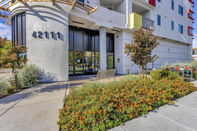
42111 Osgood Rd
Fremont, CA 94539
2 Weeks Ago
Favorites
42111 Osgood Rd

Favorites
Check Back Soon for Upcoming Availability
| Beds | Baths | Average SF |
|---|---|---|
| 1 Bedroom 1 Bedroom 1 Br | 1 Bath 1 Bath 1 Ba | 1,017 SF |
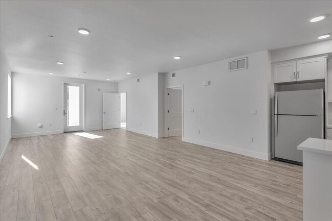
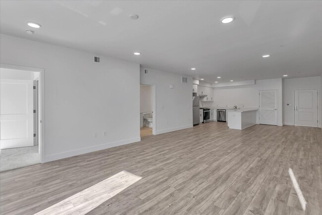
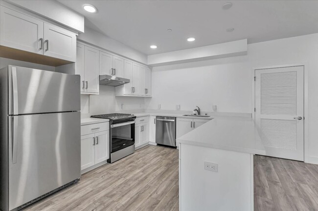
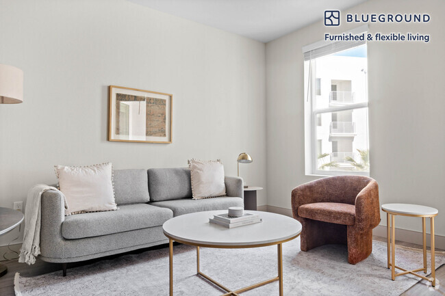
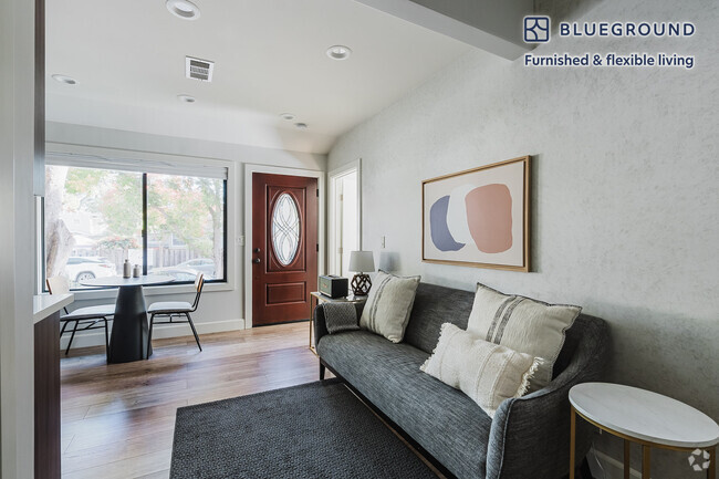
About This Property
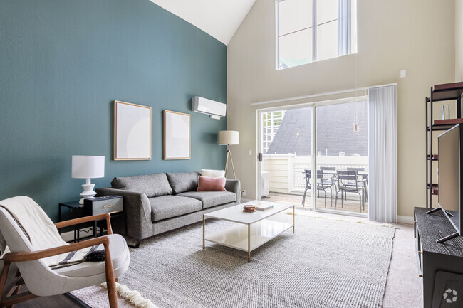
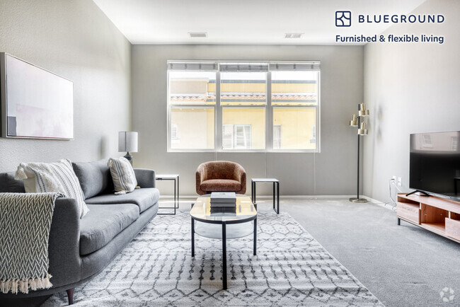
This elegant, contemporary-style, 1-bedroom condo is just here in Fremont, waiting for you to love! Positioned in a top-tier school district and conveniently located within walking distance of the recently approved Irvington BART station. Step inside to discover a fully upgraded interior, featuring exquisite amenities and a balcony that offers captivating views of Mission Peaks. Indulge in a variety of amenities such as the lobby, mail room with lockers and the gym. For those with a love for the outdoors, we offer secure bike storage, a playground for the kids, a dog wash for your furry friend, and inviting outdoor courtyards. With Savant's proximity to the 680 Freeway, you'll enjoy a quick and stress-free commute to Silicon Valley. And you'll find yourself mere moments away from outdoor attractions like hiking at Mission Peak, exploring the beauty of Sunol Regional Wilderness, or picnicking and biking at Coyote Hills Regional Park. Pet Friendly Pet Deposit - $500
42111 Osgood Rd is a condo located in Alameda County and the 94539 ZIP Code. This area is served by the Fremont Unified attendance zone.

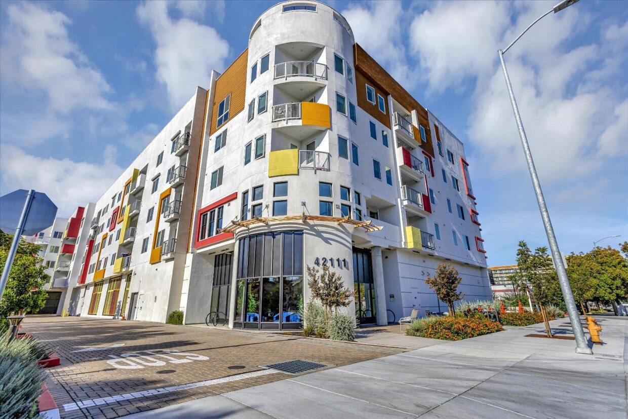
Savant at Irvington
92 Units
4 Stories
Built in 2020
159,403 Sq Ft
Savant at Irvington is a contemporary condominium building located in the bustling Weibel neighborhood of Fremont. Completed in 2020, this four-story structure houses 92 units, offering a blend of modern design and convenience. The building is strategically positioned within a top-tier school district and is a short distance from the newly approved Irvington BART station, making it an attractive choice for those seeking accessibility and quality education.
Learn more about Savant at Irvington
Property Address:
42111 Osgood Rd,
Fremont,
CA
94539
Fremont is a charming city in the San Francisco Bay Area that sits across the Bay from the Silicon Valley. It is known as an ideal destination for families, offering kid-friendly attractions and excellent public schools like the Children’s Natural History Museum and Washington High School. The rapid expansion of the tech industry in recent years has boosted Fremont’s reputation as a commuter-friendly city for those working in the Silicon Valley. Fremont is located directly north of San Jose, and Palo Alto is a short drive across the Dumbarton Bridge on the Bay.
Fremont’s local culture incorporates the area’s rich history and thriving arts scene. Check out the Old Town Niles region that features a popular art walk, antique fair, and a museum celebrating the town’s role in the early days of motion picture production. Exquisite historic architecture is on display around the city, so be sure to explore Fremont’s picturesque streets that blend urban amenities and suburban neighborhoods.
Learn more about living in FremontBelow are rent ranges for similar nearby apartments
Education
| Colleges & Universities | Distance | ||
|---|---|---|---|
| Colleges & Universities | Distance | ||
| Drive: | 7 min | 3.1 mi | |
| Drive: | 9 min | 5.2 mi | |
| Drive: | 16 min | 10.6 mi | |
| Drive: | 24 min | 17.2 mi |
42111 Osgood Rd is within 7 minutes or 3.1 miles from Ohlone College, Fremont Campus. It is also near Ohlone College, Newark and Palmer College of Chiropractic West Campus.
Schools
Public Elementary School
Grades K-5
343 Students
Nearby
5
Out of 10
Public Elementary School
Grades 1-5
278 Students
Attendance Zone
7
Out of 10
Public Middle School
Grades 6-8
1,562 Students
Attendance Zone
7
Out of 10
Public High School
Grades 9-12
2,207 Students
Attendance Zone
8
Out of 10
Private Elementary & Middle School
Grades PK-8
194 Students
Nearby
Private Elementary, Middle & High School
Grades K-12
Nearby
School data provided by
GreatSchools
The GreatSchools Rating helps parents compare schools within a state based on a variety of school quality indicators and provides a helpful picture of how effectively each school serves all of its students. Ratings are on a scale of 1 (below average) to 10 (above average) and can include test scores, college readiness, academic progress, advanced courses, equity, discipline and attendance data. We also advise parents to visit schools, consider other information on school performance and programs, and consider family needs as part of the school selection process.
Transportation options available in Fremont include Warm Springs / South Fremont, located 2.1 miles from 42111 Osgood Rd. 42111 Osgood Rd is near Norman Y Mineta San Jose International, located 14.7 miles or 21 minutes away, and Metro Oakland International, located 25.1 miles or 33 minutes away.
| Transit / Subway | Distance | ||
|---|---|---|---|
| Transit / Subway | Distance | ||
|
|
Drive: | 4 min | 2.1 mi |
|
|
Drive: | 7 min | 3.1 mi |
|
|
Drive: | 16 min | 7.5 mi |
|
|
Drive: | 14 min | 9.4 mi |
|
|
Drive: | 15 min | 9.9 mi |
| Commuter Rail | Distance | ||
|---|---|---|---|
| Commuter Rail | Distance | ||
| Drive: | 9 min | 4.0 mi | |
| Drive: | 17 min | 12.3 mi | |
| Drive: | 18 min | 13.3 mi | |
| Drive: | 23 min | 15.4 mi | |
| Drive: | 23 min | 15.9 mi |
| Airports | Distance | ||
|---|---|---|---|
| Airports | Distance | ||
|
Norman Y Mineta San Jose International
|
Drive: | 21 min | 14.7 mi |
|
Metro Oakland International
|
Drive: | 33 min | 25.1 mi |
Time and distance from 42111 Osgood Rd.
| Shopping Centers | Distance | ||
|---|---|---|---|
| Shopping Centers | Distance | ||
| Walk: | 12 min | 0.7 mi | |
| Walk: | 15 min | 0.8 mi | |
| Walk: | 15 min | 0.8 mi |
42111 Osgood Rd has 3 shopping centers within 0.8 mile, which is about a 15-minute walk. The miles and minutes will be for the farthest away property.
| Parks and Recreation | Distance | ||
|---|---|---|---|
| Parks and Recreation | Distance | ||
|
Central Park (Lake Elizabeth)
|
Drive: | 8 min | 3.2 mi |
|
Niles Canyon Railway
|
Drive: | 10 min | 5.1 mi |
|
Quarry Lakes Regional Recreation Area
|
Drive: | 11 min | 5.4 mi |
|
Niles Community Park
|
Drive: | 12 min | 5.6 mi |
|
Mission Peak Regional Preserve
|
Drive: | 20 min | 6.5 mi |
42111 Osgood Rd has 5 parks within 6.5 miles, including Central Park (Lake Elizabeth), Niles Canyon Railway, and Niles Community Park.
| Hospitals | Distance | ||
|---|---|---|---|
| Hospitals | Distance | ||
| Drive: | 5 min | 2.5 mi | |
| Drive: | 8 min | 3.4 mi |
42111 Osgood Rd is 2.5 miles from Kaiser Foundation Hospital - Fremont, and is convenient to other hospitals, including Washington Hospital.
| Military Bases | Distance | ||
|---|---|---|---|
| Military Bases | Distance | ||
| Drive: | 26 min | 17.5 mi |
42111 Osgood Rd is 17.5 miles and a 26 minute drive from Ames Research Center.
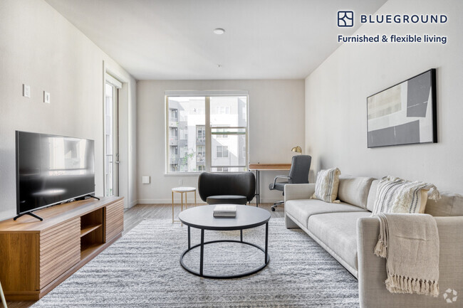
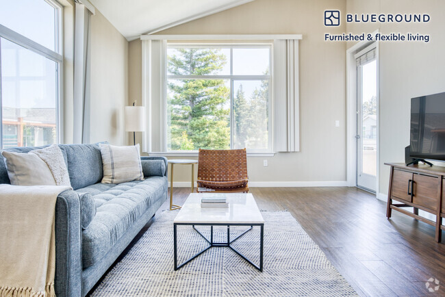
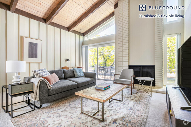
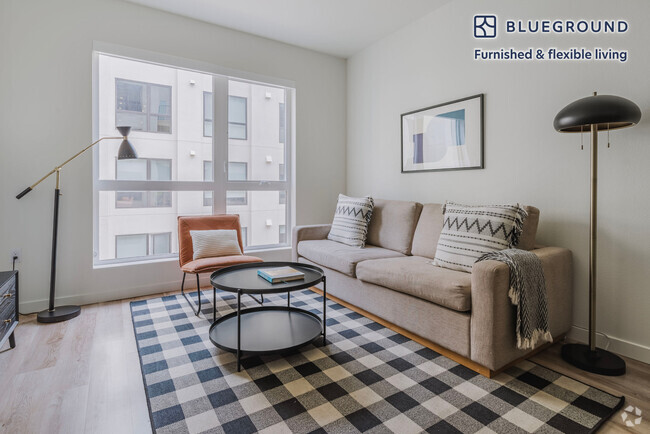
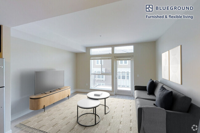
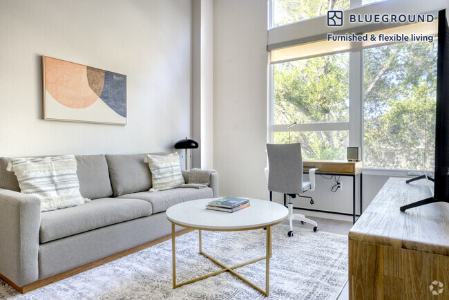
You May Also Like
Similar Rentals Nearby
What Are Walk Score®, Transit Score®, and Bike Score® Ratings?
Walk Score® measures the walkability of any address. Transit Score® measures access to public transit. Bike Score® measures the bikeability of any address.
What is a Sound Score Rating?
A Sound Score Rating aggregates noise caused by vehicle traffic, airplane traffic and local sources
42111 Osgood Rd
Fremont, CA 94539