
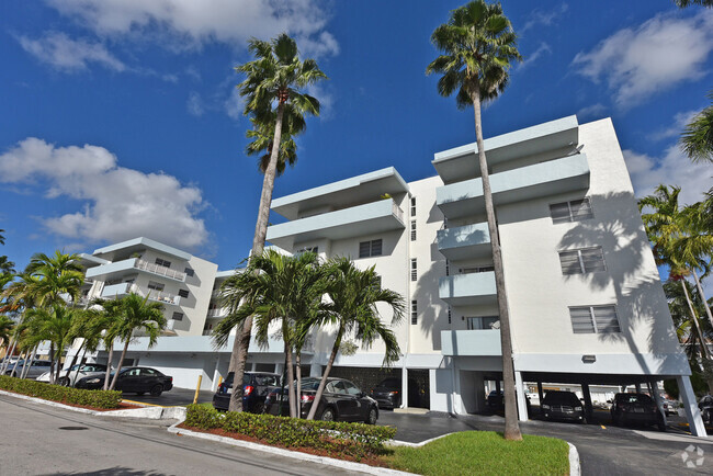
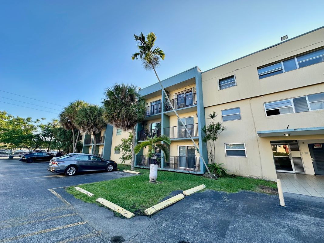
$1,850 / Month
4275 NW S Tamiami Canal Dr
Miami, FL 33126
Today
Favorites
786-499-4095
-
Bedrooms
1
-
Bathrooms
1
-
Square Feet
550 sq ft
-
Available
Available Now
4275 NW S Tamiami Canal Dr

Favorites
About This Home
12 Month Lease
,
Available Now
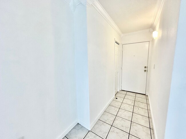
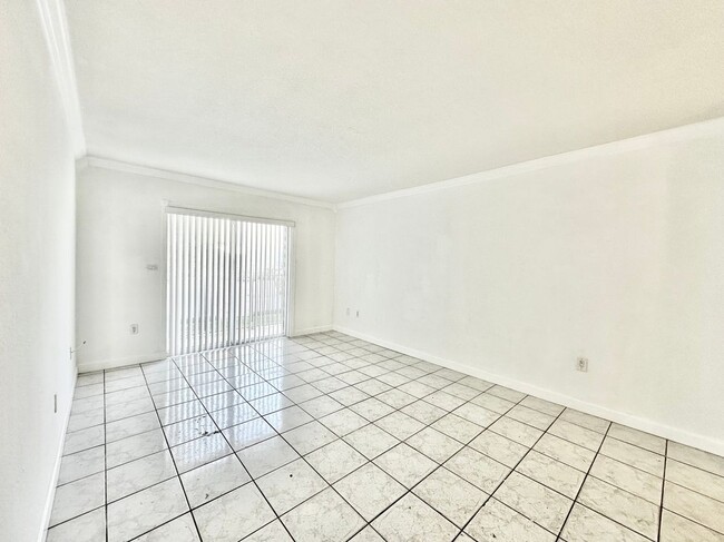
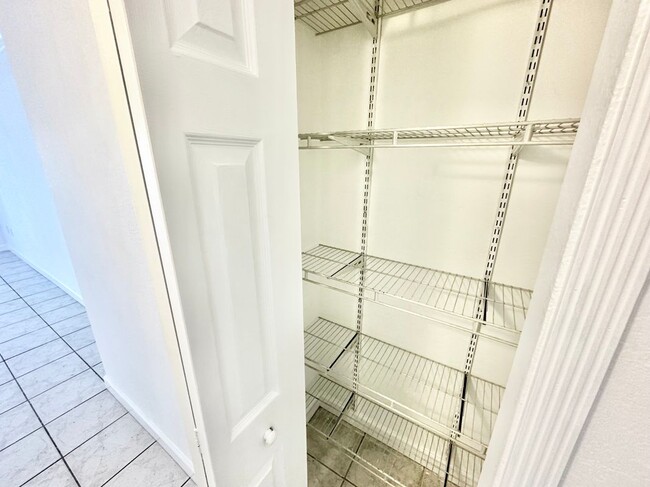
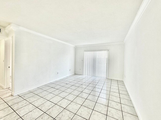
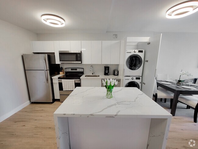
FOR RENT. Ground-floor apartment with 1 bedroom and 1 bathroom, located in the highly sought-after "Tempo Condo" building. Features a balcony and an assigned parking spot. Strategically located just one block from Le Jeune Rd, the 836 expressway, and the future Inter Miami stadium, offering excellent access to all parts of the city. Conveniently situated right behind Miami International Airport. Don’t miss this unique opportunity in Miami. Schedule your showing today.
4275 NW S Tamiami Canal Dr is an apartment community located in Miami/Dade County and the 33126 ZIP Code.
* Price shown is base rent and may not include non-optional fees and utilities.
Price, availability, fees, and any applicable rent special are subject to change without notice.
* Square footage definitions vary. Displayed square footage is approximate.
Features
- Air Conditioning
- Ceiling Fans
- Refrigerator
- Laundry Facilities
- Pool
Fees and Policies
The fees below are based on community-supplied data and may exclude additional fees and utilities.
- Parking
-
Other--Assigned Parking
Details
Utilities Included
-
Water
Lease Options
-
12 Months
Contact
- Listed by RentSpree | RentSpree
- Phone Number
- Contact
Location
Get Directions
Amenities
- Air Conditioning
- Ceiling Fans
- Refrigerator
- Laundry Facilities
- Pool
Expenses
Utilities Included
Water
Included
Named after Flagler Street and the Tamiami Canal, Flagami is a modest neighborhood situated just south of Miami International Airport. Residents enjoy the neighborhood’s suburban feel, from the comprehensive shopping plazas to the charming rental houses nestled along tree-lined streets.
Flagami offers a broad range of affordable rental options, including apartments, condos, townhomes, and houses. The neighborhood is home to attractive amenities like Grapeland Water Park, International Links Melreese Country Club, and Magic City Casino. Commuting from Flagami is simple with access to the Dolphin Expressway, Palmetto Expressway, and U.S. Route 41.
Learn more about living in Flagami
Education
| Colleges & Universities | Distance | ||
|---|---|---|---|
| Colleges & Universities | Distance | ||
| Drive: | 6 min | 2.5 mi | |
| Drive: | 8 min | 3.9 mi | |
| Drive: | 10 min | 5.0 mi | |
| Drive: | 11 min | 5.0 mi |
4275 NW S Tamiami Canal Dr is within 6 minutes or 2.5 miles from USAHS. It is also near Miami Dade Coll., InterAm. and Univ. of Miami, Uhealth.
Transportation options available in Miami include Miami Intl Airport Ground Level, located 1.4 miles from 4275 NW S Tamiami Canal Dr. 4275 NW S Tamiami Canal Dr is near Miami International, located 6.8 miles or 16 minutes away, and Fort Lauderdale/Hollywood International, located 26.7 miles or 38 minutes away.
| Transit / Subway | Distance | ||
|---|---|---|---|
| Transit / Subway | Distance | ||
|
|
Drive: | 5 min | 1.4 mi |
|
|
Drive: | 10 min | 5.8 mi |
|
|
Drive: | 10 min | 6.1 mi |
|
|
Drive: | 11 min | 6.5 mi |
|
|
Drive: | 12 min | 6.7 mi |
| Commuter Rail | Distance | ||
|---|---|---|---|
| Commuter Rail | Distance | ||
|
|
Drive: | 5 min | 1.6 mi |
|
|
Drive: | 7 min | 2.7 mi |
|
|
Drive: | 9 min | 4.4 mi |
|
|
Drive: | 9 min | 4.8 mi |
|
|
Drive: | 12 min | 7.9 mi |
| Airports | Distance | ||
|---|---|---|---|
| Airports | Distance | ||
|
Miami International
|
Drive: | 16 min | 6.8 mi |
|
Fort Lauderdale/Hollywood International
|
Drive: | 38 min | 26.7 mi |
Time and distance from 4275 NW S Tamiami Canal Dr.
| Shopping Centers | Distance | ||
|---|---|---|---|
| Shopping Centers | Distance | ||
| Drive: | 3 min | 1.3 mi | |
| Drive: | 3 min | 1.3 mi | |
| Drive: | 4 min | 1.5 mi |
4275 NW S Tamiami Canal Dr has 3 shopping centers within 1.5 miles, which is about a 4-minute drive. The miles and minutes will be for the farthest away property.
| Parks and Recreation | Distance | ||
|---|---|---|---|
| Parks and Recreation | Distance | ||
|
The Barnacle Historic State Park
|
Drive: | 12 min | 5.8 mi |
|
Gifford Arboretum
|
Drive: | 14 min | 5.9 mi |
|
Sense of Wonder Nature Center and A.D. Barnes Park
|
Drive: | 15 min | 7.8 mi |
|
Miami Science Museum - Closed
|
Drive: | 13 min | 8.1 mi |
|
Vizcaya Museum and Gardens
|
Drive: | 15 min | 8.3 mi |
4275 NW S Tamiami Canal Dr has 5 parks within 8.3 miles, including Gifford Arboretum, The Barnacle Historic State Park, and Sense of Wonder Nature Center and A.D. Barnes Park.
| Hospitals | Distance | ||
|---|---|---|---|
| Hospitals | Distance | ||
| Drive: | 11 min | 4.8 mi | |
| Drive: | 10 min | 4.9 mi | |
| Drive: | 12 min | 5.5 mi |
4275 NW S Tamiami Canal Dr has 3 hospitals within 5.5 miles, the nearest is Hialeah Hospital which is 4.8 miles away and a 11 minute drive.
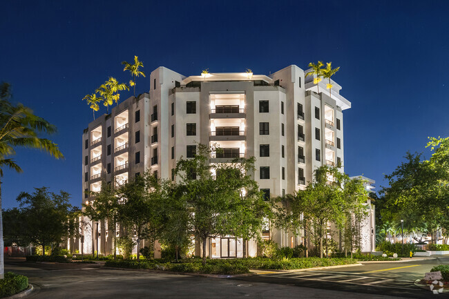
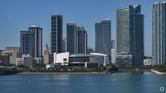
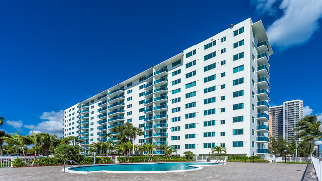
You May Also Like
Similar Rentals Nearby


What Are Walk Score®, Transit Score®, and Bike Score® Ratings?
Walk Score® measures the walkability of any address. Transit Score® measures access to public transit. Bike Score® measures the bikeability of any address.
What is a Sound Score Rating?
A Sound Score Rating aggregates noise caused by vehicle traffic, airplane traffic and local sources
4275 NW S Tamiami Canal Dr
Miami, FL 33126