
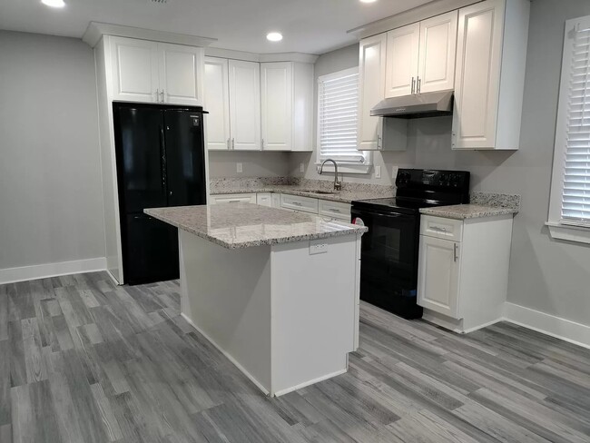
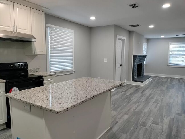
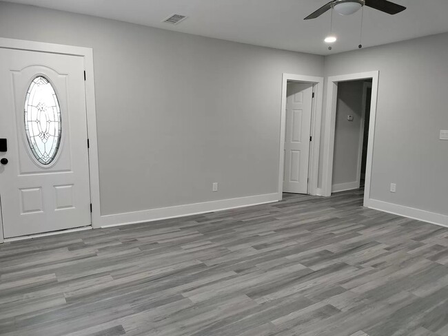
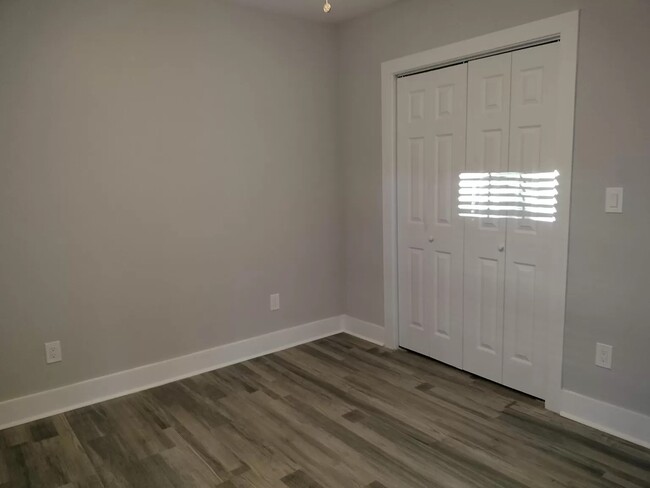
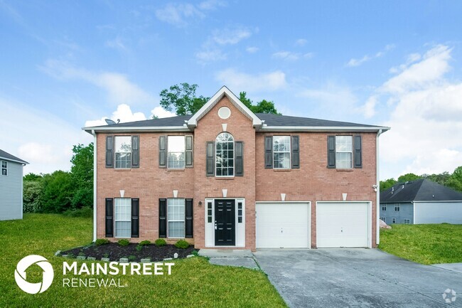
$1,995 / Month
4284 Hidden Valley Rd
Decatur, GA 30035
2 Weeks Ago
Favorites
4284 Hidden Valley Rd

Favorites
Check Back Soon for Upcoming Availability
| Beds | Baths | Average SF |
|---|---|---|
| 4 Bedrooms 4 Bedrooms 4 Br | 2 Baths 2 Baths 2 Ba | 1,905 SF |
Location
Get Directions
Decatur is a popular suburban area right near Atlanta for those who want a city within a city feel, while still having access to all that Downtown Atlanta has to offer. Decatur is in northeast Atlanta and is centrally located to local schools, shopping, and dining options. Public transportation is available through subway stations throughout town. City Schools of Decatur is renowned for its quality education and is highly rated in the state.
Incredible pubs, eateries, and public parks are widespread in Decatur. Local restaurants are one of Decatur’s greatest attractions, known for diverse cuisines and lively atmospheres. Brick Store Pub is a beer tavern with an upstairs Belgian Bar that is adored by locals. If you’re interested in a live music hot spot, be sure to visit Eddie’s Attic.
Learn more about living in Decatur
Education
| Colleges & Universities | Distance | ||
|---|---|---|---|
| Colleges & Universities | Distance | ||
| Drive: | 10 min | 4.9 mi | |
| Drive: | 11 min | 6.1 mi | |
| Drive: | 13 min | 6.8 mi | |
| Drive: | 15 min | 8.1 mi |
4284 Hidden Valley Rd is within 10 minutes or 4.9 miles from Georgia Perim., Clarkston. It is also near Agnes Scott College and Georgia Perim. Coll., Decatur.
Schools


Public Elementary School
Grades PK-5
416 Students
Attendance Zone
Public Middle School
Grades 6-8
718 Students
Attendance Zone
Public High School
Grades 9-12
764 Students
Attendance Zone
Private Elementary, Middle & High School
Grades 3-12
Nearby
Private Elementary & Middle School
Grades K-8
109 Students
Nearby
Private Elementary School
Grades PK-1
Nearby
Private Elementary, Middle & High School
Grades K-1, 5-7 & 9-11
Nearby
Private Elementary School
Grades K-1
Nearby
School data provided by
 The GreatSchools Rating helps parents compare schools within a state based on a variety of school quality indicators and provides a helpful picture of how effectively each school serves all of its students. Ratings are on a scale of 1 (below average) to 10 (above average) and can include test scores, college readiness, academic progress, advanced courses, equity, discipline and attendance data. We also advise parents to visit schools, consider other information on school performance and programs, and consider family needs as part of the school selection process.
View GreatSchools Rating Methodology
View GreatSchools Rating Methodology
Transportation options available in Decatur include Indian Creek, located 2.6 miles from 4284 Hidden Valley Rd. 4284 Hidden Valley Rd is near Hartsfield - Jackson Atlanta International, located 16.9 miles or 26 minutes away.
| Transit / Subway | Distance | ||
|---|---|---|---|
| Transit / Subway | Distance | ||
|
|
Drive: | 5 min | 2.6 mi |
|
|
Drive: | 7 min | 3.5 mi |
|
|
Drive: | 9 min | 5.1 mi |
|
|
Drive: | 11 min | 5.9 mi |
|
|
Drive: | 12 min | 6.9 mi |
| Commuter Rail | Distance | ||
|---|---|---|---|
| Commuter Rail | Distance | ||
|
|
Drive: | 27 min | 17.4 mi |
| Airports | Distance | ||
|---|---|---|---|
| Airports | Distance | ||
|
Hartsfield - Jackson Atlanta International
|
Drive: | 26 min | 16.9 mi |
Time and distance from 4284 Hidden Valley Rd.
| Shopping Centers | Distance | ||
|---|---|---|---|
| Shopping Centers | Distance | ||
| Drive: | 3 min | 1.2 mi | |
| Drive: | 4 min | 1.7 mi | |
| Drive: | 4 min | 1.9 mi |
4284 Hidden Valley Rd has 3 shopping centers within 1.9 miles, which is about a 4-minute drive. The miles and minutes will be for the farthest away property.
| Parks and Recreation | Distance | ||
|---|---|---|---|
| Parks and Recreation | Distance | ||
|
Glenn Creek Nature Preserve
|
Drive: | 11 min | 5.6 mi |
|
Bradley Observatory
|
Drive: | 10 min | 5.8 mi |
|
Forty Oaks Nature Preserve
|
Drive: | 10 min | 6.2 mi |
|
Wylde Center and Oakhurst Community Garden
|
Drive: | 11 min | 6.4 mi |
|
Ferns of the World Garden
|
Drive: | 11 min | 6.5 mi |
4284 Hidden Valley Rd has 5 parks within 6.5 miles, including Forty Oaks Nature Preserve, Glenn Creek Nature Preserve, and Wylde Center and Oakhurst Community Garden.
| Hospitals | Distance | ||
|---|---|---|---|
| Hospitals | Distance | ||
| Drive: | 11 min | 6.1 mi | |
| Drive: | 10 min | 6.2 mi | |
| Drive: | 11 min | 6.6 mi |
4284 Hidden Valley Rd has 3 hospitals within 6.6 miles, the nearest is Emory Hillandale Hospital which is 6.1 miles away and a 11 minute drive.
| Military Bases | Distance | ||
|---|---|---|---|
| Military Bases | Distance | ||
| Drive: | 23 min | 14.6 mi | |
| Drive: | 27 min | 17.8 mi |
4284 Hidden Valley Rd is 14.6 miles from Fort Gillem, and is convenient to other military bases, including Fort McPherson.
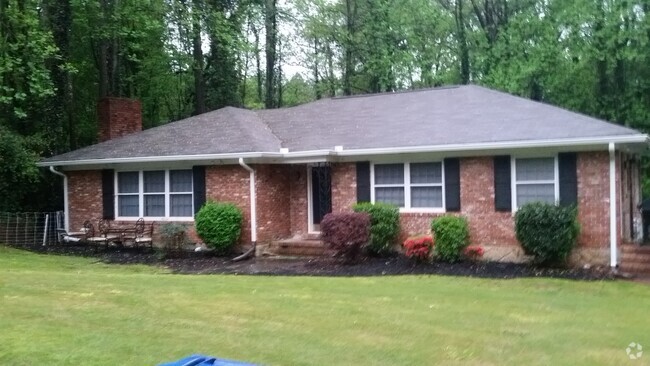
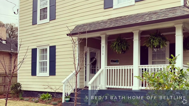
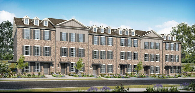
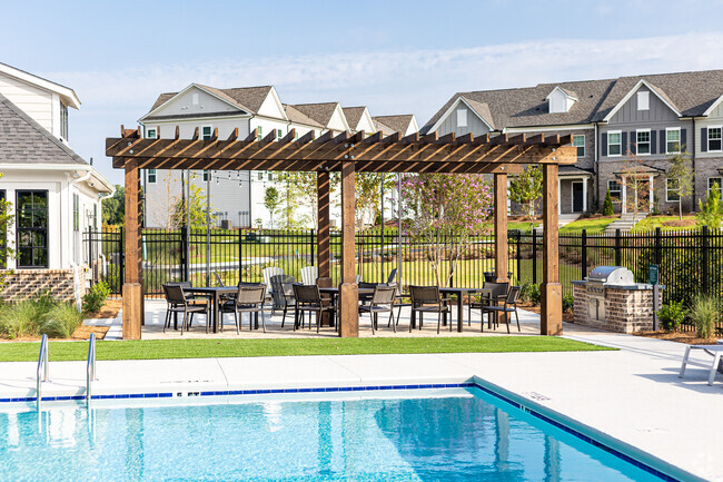
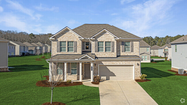
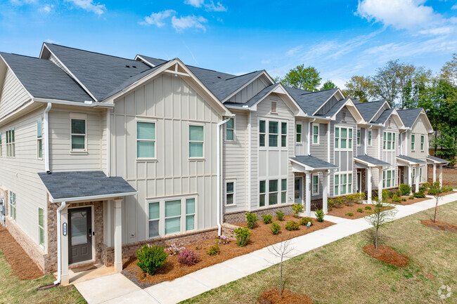
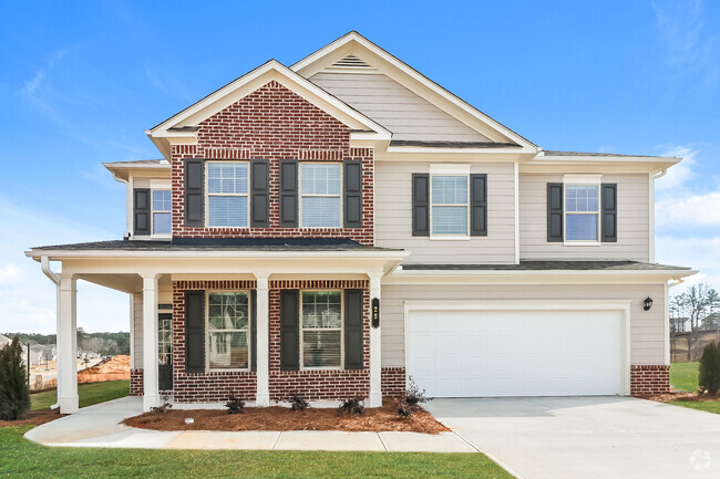
You May Also Like
Similar Rentals Nearby
-
-
-
-
-
-
1 / 28
-
-
-
-
What Are Walk Score®, Transit Score®, and Bike Score® Ratings?
Walk Score® measures the walkability of any address. Transit Score® measures access to public transit. Bike Score® measures the bikeability of any address.
What is a Sound Score Rating?
A Sound Score Rating aggregates noise caused by vehicle traffic, airplane traffic and local sources
4284 Hidden Valley Rd
Decatur, GA 30035