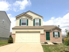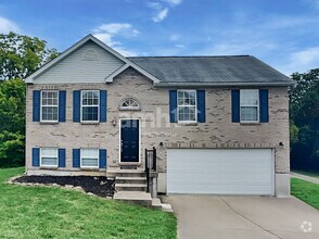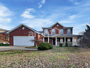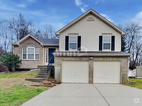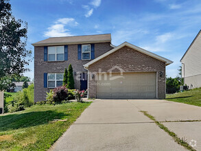

Check Back Soon for Upcoming Availability
 This Property
 Available Property
Located in the northernmost point of Kentucky, Elsmere provides easy access to the Cincinnati/Northern Kentucky International Airport and Cincinnati, Ohio. Although Elsmere is a quaint suburb of Kentucky, residents are only 10 miles southwest of Downtown Cincinnati, making it the closest metro area to town. Residents have easy access to Interstates 71 and 275 and have a variety of affordable apartments, houses, and townhomes for rent at their fingertips.
Elsmere is very accessible, and it’s also located in a convenient location. Although Elsmere is mainly residential, this small town sits directly east of the city of Florence, home to Florence Mall. Locals appreciate proximity to major department stores, clothing shops, popular restaurants, movie theaters, fitness centers, supermarkets, and so much more. For those who enjoy the great outdoors, several community parks are within reach of Elsmere, including Doe Run Lake Park just a few miles west of town.
Learn more about living in Elsmere| Colleges & Universities | Distance | ||
|---|---|---|---|
| Colleges & Universities | Distance | ||
| Drive: | 7 min | 2.9 mi | |
| Drive: | 18 min | 10.4 mi | |
| Drive: | 24 min | 14.7 mi | |
| Drive: | 32 min | 17.7 mi |
Transportation options available in Elsmere include The Banks Station, 2Nd & Main, located 10.6 miles from 429 Buckner St. 429 Buckner St is near Cincinnati/Northern Kentucky International, located 6.0 miles or 17 minutes away.
| Transit / Subway | Distance | ||
|---|---|---|---|
| Transit / Subway | Distance | ||
| Drive: | 18 min | 10.6 mi | |
| Drive: | 18 min | 10.7 mi | |
| Drive: | 19 min | 10.8 mi | |
| Drive: | 19 min | 10.9 mi | |
| Drive: | 19 min | 10.9 mi |
| Commuter Rail | Distance | ||
|---|---|---|---|
| Commuter Rail | Distance | ||
|
|
Drive: | 21 min | 11.6 mi |
| Airports | Distance | ||
|---|---|---|---|
| Airports | Distance | ||
|
Cincinnati/Northern Kentucky International
|
Drive: | 17 min | 6.0 mi |
Time and distance from 429 Buckner St.
| Shopping Centers | Distance | ||
|---|---|---|---|
| Shopping Centers | Distance | ||
| Walk: | 15 min | 0.8 mi | |
| Walk: | 15 min | 0.8 mi | |
| Walk: | 19 min | 1.0 mi |
| Parks and Recreation | Distance | ||
|---|---|---|---|
| Parks and Recreation | Distance | ||
|
John G. & Phyllis W. Smale Riverfront Park
|
Drive: | 18 min | 10.6 mi |
|
Boone County Arboretum
|
Drive: | 20 min | 11.1 mi |
|
Wilson Commons
|
Drive: | 22 min | 12.8 mi |
|
Imago Earth Center
|
Drive: | 24 min | 13.9 mi |
|
Embshoff Woods
|
Drive: | 27 min | 15.5 mi |
| Hospitals | Distance | ||
|---|---|---|---|
| Hospitals | Distance | ||
| Drive: | 6 min | 2.8 mi | |
| Drive: | 9 min | 3.9 mi | |
| Drive: | 20 min | 13.1 mi |
| Military Bases | Distance | ||
|---|---|---|---|
| Military Bases | Distance | ||
| Drive: | 87 min | 65.1 mi | |
| Drive: | 93 min | 70.2 mi | |
| Drive: | 95 min | 73.5 mi |
You May Also Like
Similar Rentals Nearby
-
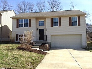
$1,7903 Beds, 2.5 Baths, 1,054 sq ftHouse for Rent
-
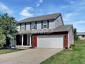
$2,3103 Beds, 3.5 Baths, 1,978 sq ftHouse for Rent
-
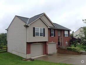
$2,0903 Beds, 2.5 Baths, 1,647 sq ftHouse for Rent
-
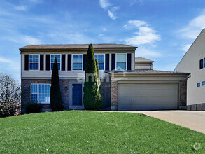
$2,4104 Beds, 2.5 Baths, 2,164 sq ftHouse for Rent
-
$1,8703 Beds, 2.5 Baths, 1,256 sq ftHouse for Rent
-
$1,8953 Beds, 2.5 Baths, 1,439 sq ftHouse for Rent
-
$2,5554 Beds, 2.5 Baths, 2,120 sq ftHouse for Rent
-
$1,8203 Beds, 2 Baths, 1,326 sq ftHouse for Rent
-
$1,9953 Beds, 2.5 Baths, 1,496 sq ftHouse for Rent
-
$2,2004 Beds, 2.5 Baths, 1,992 sq ftHouse for Rent
What Are Walk Score®, Transit Score®, and Bike Score® Ratings?
Walk Score® measures the walkability of any address. Transit Score® measures access to public transit. Bike Score® measures the bikeability of any address.
What is a Sound Score Rating?
A Sound Score Rating aggregates noise caused by vehicle traffic, airplane traffic and local sources

