
$895 / Month
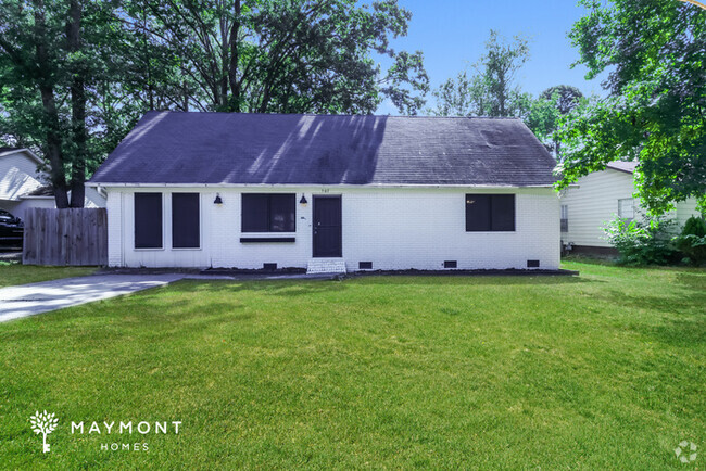
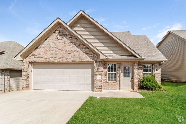
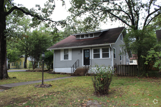
43 Compass Point St
Sherwood, AR 72120
2 Weeks Ago
Favorites
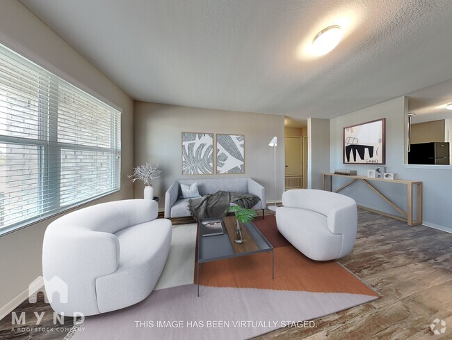
43 Compass Point St

Favorites
Check Back Soon for Upcoming Availability
| Beds | Baths | Average SF |
|---|---|---|
| 3 Bedrooms 3 Bedrooms 3 Br | 1 Bath 1 Bath 1 Ba | 948 SF |
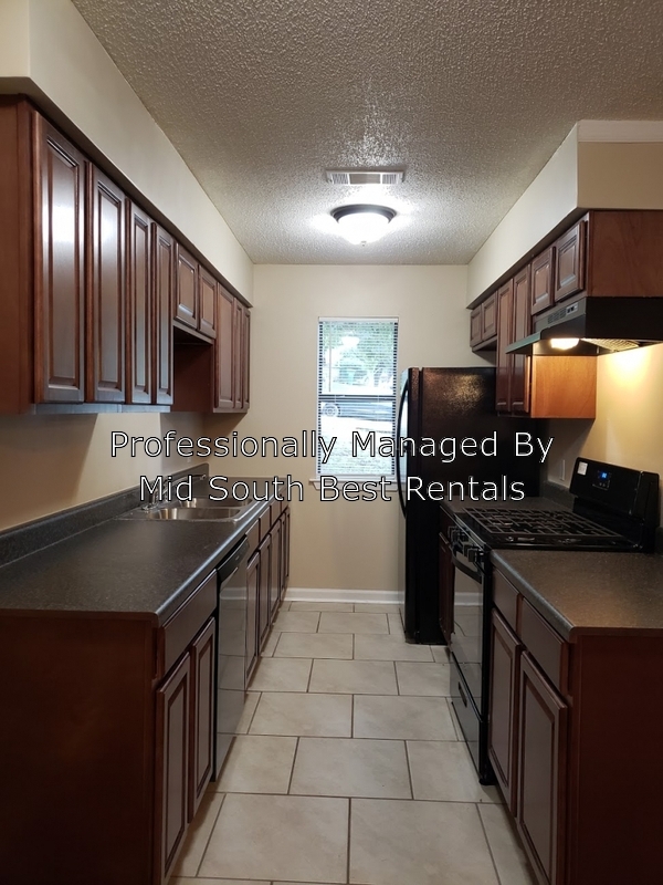
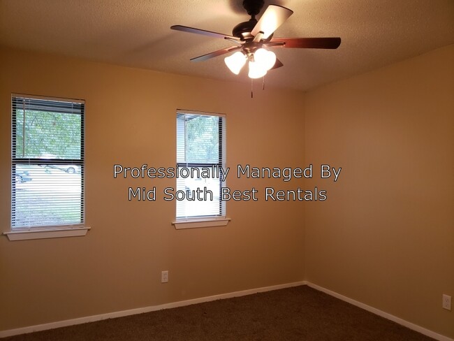
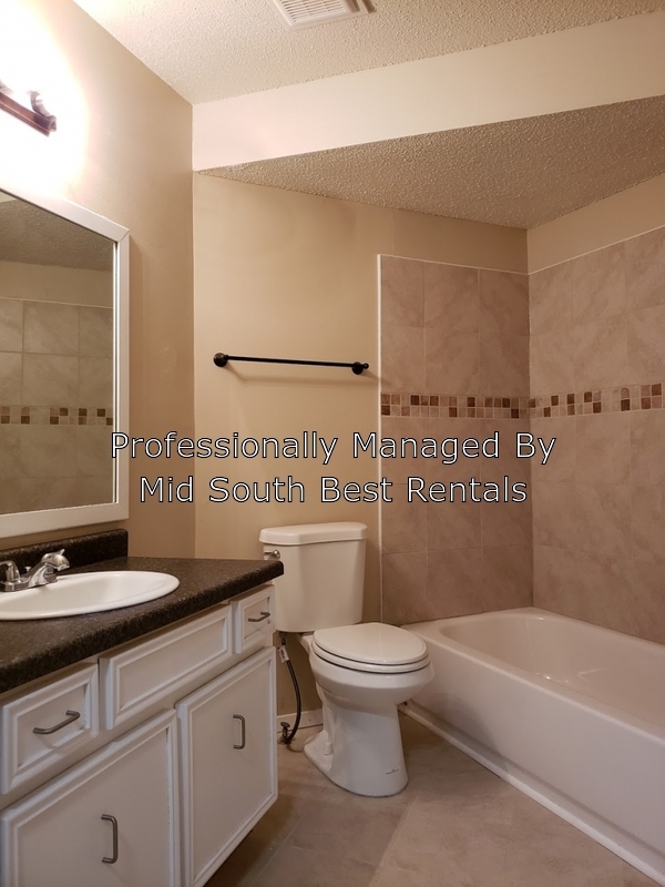
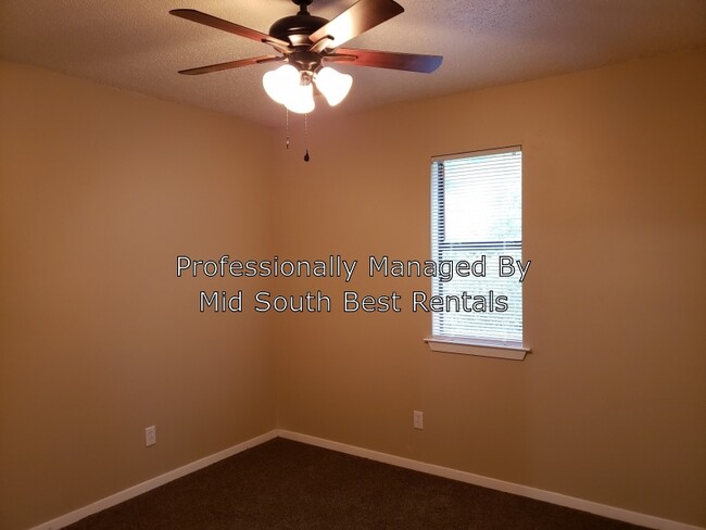
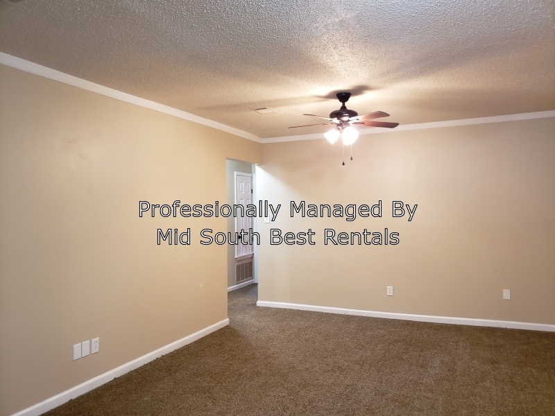
About This Property
Apply for Free! Applications are processed same day and an agent will be reaching out to you immediately upon approval. Apply for free here: https://forms.monday.com/forms/6ab3a990d37c8e1fa81cb3133056c02a
43 Compass Point St is a house located in Pulaski County and the 72120 ZIP Code. This area is served by the Pulaski County Special attendance zone.
$724 / month
$119,900 Listing Price
3 Beds
•1.5 Baths
•
1,080 Sq Ft
$993 / month
$167,800 Listing Price
4 Beds
•2 Baths
•
1,328 Sq Ft
$863 / month
$145,000 Listing Price
3 Beds
•1.5 Baths
•
1,124 Sq Ft
Property Address:
43 Compass Point St,
Sherwood,
AR
72120
Jacksonville/Sherwood is a wooded area about 15 miles north of Little Rock. The community’s northern and western regions are mostly rural, but the town has a lot to offer. Jacksonville/ Sherwood has a diverse rental market with an abundance of affordable rental options. Modern amenities are located within and right outside of town, giving residents plenty of shopping and dining choices at places like McCain Mall and Lakewood Village. Outdoor recreation is abundant with forested parks and trails as well as the ones surrounding the Arkansas River. Commuters will appreciate Interstate 40 and Highway 167, which make traveling a breeze.
Learn more about living in Jacksonville/SherwoodBelow are rent ranges for similar nearby apartments
Education
| Colleges & Universities | Distance | ||
|---|---|---|---|
| Colleges & Universities | Distance | ||
| Drive: | 28 min | 12.5 mi | |
| Drive: | 28 min | 15.4 mi | |
| Drive: | 31 min | 17.2 mi | |
| Drive: | 35 min | 20.2 mi |
43 Compass Point St is within 28 minutes or 12.5 miles from Pulaski Technical College. It is also near Philander Smith College and Univ. of Ark. Medical Scis..
Schools
Public Elementary School
Grades PK-5
296 Students
Attendance Zone
7
Out of 10
Public Middle School
Grades 6-8
1,122 Students
Attendance Zone
5
Out of 10
Public High School
Grades 9-12
1,017 Students
Attendance Zone
5
Out of 10
Private Elementary, Middle & High School
Grades PK-12
268 Students
Nearby
Private Elementary School
Grades PK-6
121 Students
Nearby
School data provided by
GreatSchools
The GreatSchools Rating helps parents compare schools within a state based on a variety of school quality indicators and provides a helpful picture of how effectively each school serves all of its students. Ratings are on a scale of 1 (below average) to 10 (above average) and can include test scores, college readiness, academic progress, advanced courses, equity, discipline and attendance data. We also advise parents to visit schools, consider other information on school performance and programs, and consider family needs as part of the school selection process.
Transportation options available in Sherwood include Main St & Bishop Lindsey Ave, located 13.0 miles from 43 Compass Point St. 43 Compass Point St is near Bill and Hillary Clinton Ntl/Adams Field, located 18.3 miles or 32 minutes away.
| Transit / Subway | Distance | ||
|---|---|---|---|
| Transit / Subway | Distance | ||
| Drive: | 24 min | 13.0 mi | |
| Drive: | 24 min | 13.1 mi | |
| Drive: | 24 min | 13.3 mi | |
| Drive: | 24 min | 13.4 mi | |
| Drive: | 24 min | 13.4 mi |
| Commuter Rail | Distance | ||
|---|---|---|---|
| Commuter Rail | Distance | ||
|
|
Drive: | 27 min | 14.8 mi |
| Airports | Distance | ||
|---|---|---|---|
| Airports | Distance | ||
|
Bill and Hillary Clinton Ntl/Adams Field
|
Drive: | 32 min | 18.3 mi |
Time and distance from 43 Compass Point St.
| Shopping Centers | Distance | ||
|---|---|---|---|
| Shopping Centers | Distance | ||
| Drive: | 7 min | 2.5 mi | |
| Drive: | 7 min | 2.7 mi | |
| Drive: | 8 min | 2.9 mi |
43 Compass Point St has 3 shopping centers within 2.9 miles, which is about a 8-minute drive. The miles and minutes will be for the farthest away property.
| Parks and Recreation | Distance | ||
|---|---|---|---|
| Parks and Recreation | Distance | ||
|
Burns Park
|
Drive: | 27 min | 15.5 mi |
43 Compass Point St has a nearby park, Burns Park , located 15.5 miles or 27 minutes away.
| Hospitals | Distance | ||
|---|---|---|---|
| Hospitals | Distance | ||
| Drive: | 16 min | 7.2 mi | |
| Drive: | 16 min | 7.4 mi | |
| Drive: | 20 min | 9.8 mi |
43 Compass Point St has 3 hospitals within 9.8 miles, the nearest is St. Vincent Medical Center North which is 7.2 miles away and a 16 minute drive.
| Military Bases | Distance | ||
|---|---|---|---|
| Military Bases | Distance | ||
| Drive: | 17 min | 7.4 mi | |
| Drive: | 39 min | 13.3 mi | |
| Drive: | 37 min | 14.6 mi |
43 Compass Point St has 3 military bases within 14.6 miles, the nearest is Little Rock Air Force Base which is 7.4 miles away and a 17 minute drive.
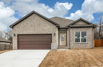
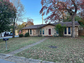
You May Also Like
Similar Rentals Nearby
-
-
-
-
 $1,5353 Beds, 2 Baths, 1,230 sq ftHouse for Rent
 -
-
 $2,7504 Beds, 2 Baths, 2,061 sq ftHouse for Rent
 -
 $1,6503 Beds, 2.5 Baths, 1,920 sq ftHouse for Rent
 -
 $1,1503 Beds, 2 Baths, 1,140 sq ftHouse for Rent
 -
 $2,1503 Beds, 2 Baths, 2,000 sq ftHouse for Rent
 -
What Are Walk Score®, Transit Score®, and Bike Score® Ratings?
Walk Score® measures the walkability of any address. Transit Score® measures access to public transit. Bike Score® measures the bikeability of any address.
What is a Sound Score Rating?
A Sound Score Rating aggregates noise caused by vehicle traffic, airplane traffic and local sources
43 Compass Point St
Sherwood, AR 72120