
$1,275 / Month
434 S 52nd St
Philadelphia, PA 19143
Today
Favorites
215-627-3500
-
Bedrooms
2
-
Bathrooms
1
-
Square Feet
7,440 sq ft
-
Available
Available Now
Highlights
- Straight Thru Architecture
- Forced Air Heating and Cooling System
434 S 52nd St

Favorites
About This Home
Available Now
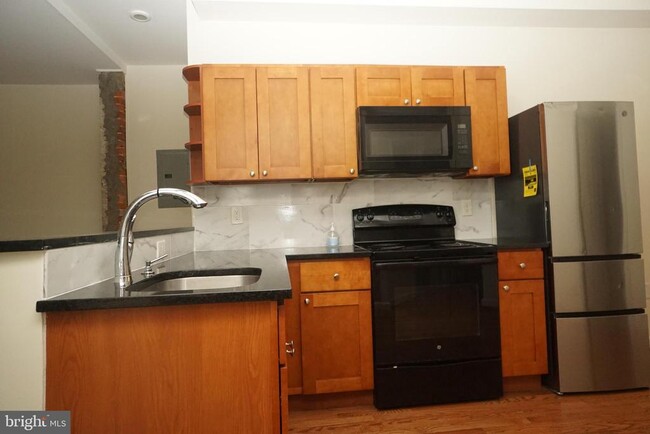
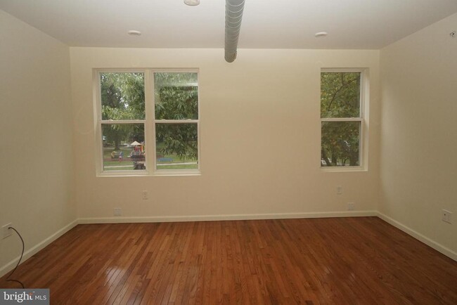
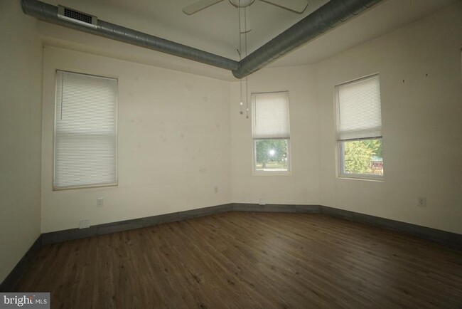
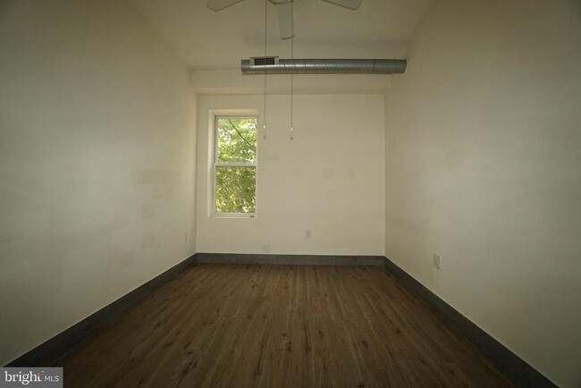
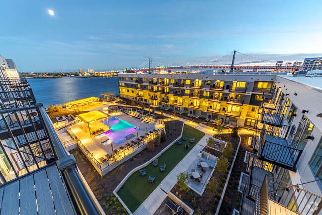
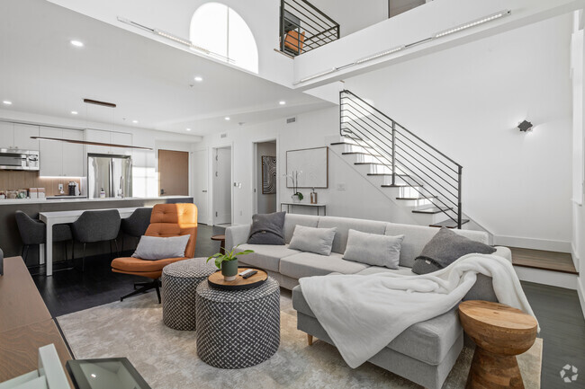
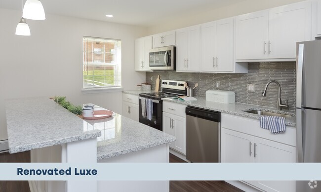
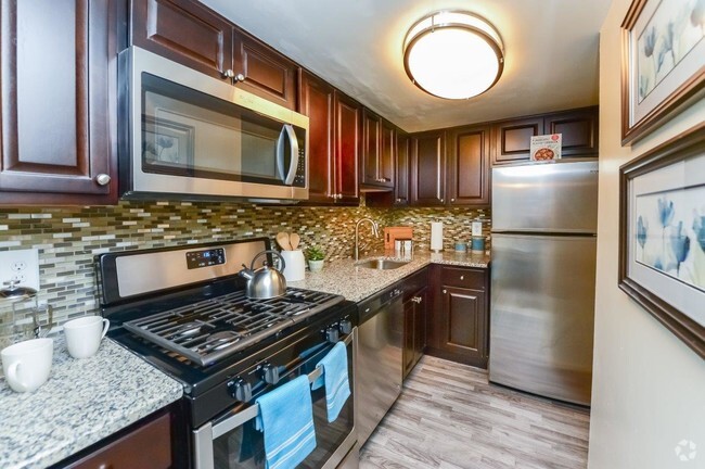
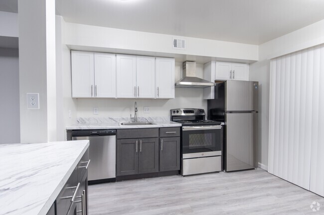
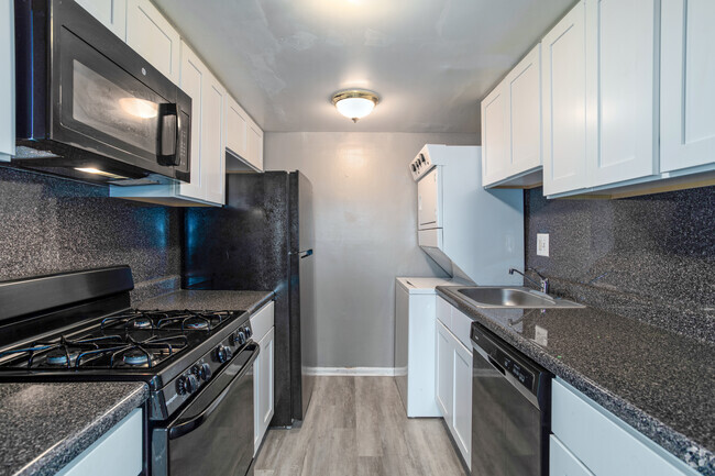
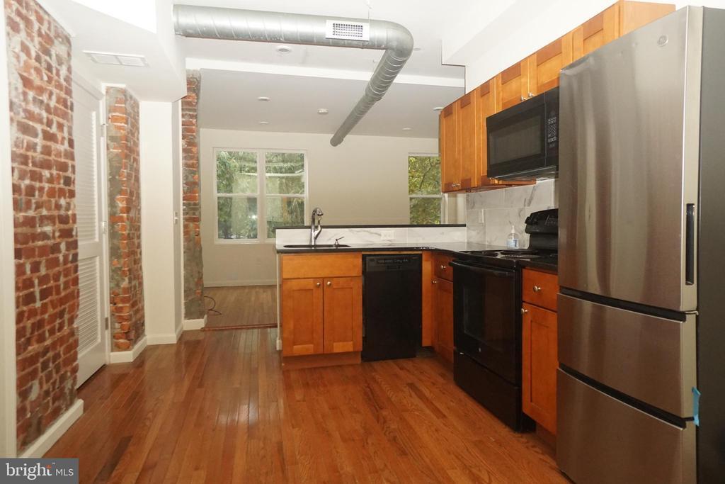
Newly built 2 Bedroom Parkside apartment in University City/West Philadelphia. This unit has brand new hardwood flooring, exposed brick, stainless steel appliances, laundry and Central Air Conditioning. Tons of natural light. Beautiful view of the park. Conveniently located on 52nd Street across from Malcolm X Park and only blocks from Baltimore avenue and Market street. Close to shopping, bars, restaurants, Cafes and public transportation. Three units to choose from! Requirements: Applicants to make 3x the monthly rent in verifiable net income, credit history to be considered, no evictions within the past 4 years, and must have a verifiable rental history with on-time rental payments. Exceptions to this criteria may exist under the law and will be considered.
434 S 52nd St is a townhome located in Philadelphia County and the 19143 ZIP Code. This area is served by the The School District of Philadelphia attendance zone.
* Price shown is base rent and may not include non-optional fees and utilities.
Price, availability, fees, and any applicable rent special are subject to change without notice.
* Square footage definitions vary. Displayed square footage is approximate.
Home Details
Home Type
Interior Unit Townhome
Year Built
Built in 1925
Bedrooms and Bathrooms
1 Full Bathroom
2 Bedrooms
Home Design
Straight Thru Architecture
Masonry
Stone Foundation
Interior Spaces
7,440 Sq Ft Home
Property has 1 Level
Listing and Financial Details
Security Deposit $1,325
12-Month Min and 24-Month Max Lease Term
Available 2/13/25
Assessor Parcel Number 881041835
Residential Lease
Lot Details
3,219 Sq Ft Lot
Parking
On-Street Parking
Utilities
Forced Air Heating and Cooling System
Electric Water Heater
Community Details
Overview
West Philadelphia Subdivision
Pet Policy
Pets allowed on a case-by-case basis
Contact
- Listed by Shirlene Goff | KW Empower
- Phone Number
- Contact
-
Source
 Bright MLS, Inc.
Copyright © 2025 Bright MLS, Inc.
Location
Get Directions
Cobbs Creek, a tight-knit and up-and-coming community south of Market Street in West Philadelphia, lies about five miles from downtown. Its namesake, Cobbs Creek Park, offers a tranquil outdoor retreat with its trails, water views, and recreational activities. The area, settled by Lenape Indians and named after Quakers, mostly consists of townhomes and apartments that house families and students.
Cobbs Creek gives endless public transportation options. You can travel via trolley, Market-Frankford Line, or by bus to the downtown area. Students and faculty of nearby University of Pennsylvania and Drexel University appreciate the lower-cost housing options and a quick commute.
Learn more about living in Cobbs Creek
Education
| Colleges & Universities | Distance | ||
|---|---|---|---|
| Colleges & Universities | Distance | ||
| Walk: | 18 min | 0.9 mi | |
| Drive: | 4 min | 1.4 mi | |
| Drive: | 5 min | 1.8 mi | |
| Drive: | 7 min | 2.6 mi |
434 S 52nd St is within 18 minutes or 0.9 mile from C.C. of Philadelphia, W Ctr. It is also near University of the Sciences and University of Pennsylvania.
Schools


Public Elementary & Middle School
Grades PK-8
475 Students
Nearby
Public Elementary & Middle School
Grades K-8
556 Students
Attendance Zone
Public High School
Grades 9-12
355 Students
Attendance Zone
Private Elementary, Middle & High School
Grades PK-12
153 Students
Nearby
Private Elementary & Middle School
Grades PK-8
Nearby
Private Elementary & Middle School
Grades K-8
89 Students
Nearby
School data provided by
 The GreatSchools Rating helps parents compare schools within a state based on a variety of school quality indicators and provides a helpful picture of how effectively each school serves all of its students. Ratings are on a scale of 1 (below average) to 10 (above average) and can include test scores, college readiness, academic progress, advanced courses, equity, discipline and attendance data. We also advise parents to visit schools, consider other information on school performance and programs, and consider family needs as part of the school selection process.
View GreatSchools Rating Methodology
View GreatSchools Rating Methodology
Transportation options available in Philadelphia include Baltimore Avenue And 52Nd Street, located 0.3 mile from 434 S 52nd St. 434 S 52nd St is near Philadelphia International, located 7.6 miles or 18 minutes away, and Trenton Mercer, located 37.5 miles or 57 minutes away.
| Transit / Subway | Distance | ||
|---|---|---|---|
| Transit / Subway | Distance | ||
|
|
Walk: | 6 min | 0.3 mi |
|
|
Walk: | 8 min | 0.4 mi |
|
|
Walk: | 8 min | 0.4 mi |
|
|
Walk: | 9 min | 0.5 mi |
|
|
Walk: | 10 min | 0.5 mi |
| Commuter Rail | Distance | ||
|---|---|---|---|
| Commuter Rail | Distance | ||
|
|
Walk: | 19 min | 1.0 mi |
|
|
Drive: | 3 min | 1.4 mi |
|
|
Drive: | 6 min | 2.2 mi |
| Drive: | 6 min | 2.6 mi | |
|
|
Drive: | 8 min | 3.0 mi |
| Airports | Distance | ||
|---|---|---|---|
| Airports | Distance | ||
|
Philadelphia International
|
Drive: | 18 min | 7.6 mi |
|
Trenton Mercer
|
Drive: | 57 min | 37.5 mi |
Time and distance from 434 S 52nd St.
| Shopping Centers | Distance | ||
|---|---|---|---|
| Shopping Centers | Distance | ||
| Walk: | 19 min | 1.0 mi | |
| Drive: | 4 min | 1.5 mi | |
| Drive: | 5 min | 1.9 mi |
434 S 52nd St has 3 shopping centers within 1.9 miles, which is about a 5-minute walk. The miles and minutes will be for the farthest away property.
| Parks and Recreation | Distance | ||
|---|---|---|---|
| Parks and Recreation | Distance | ||
|
Cobbs Creek Environmental Education Center
|
Drive: | 4 min | 1.4 mi |
|
Penn Museum
|
Drive: | 6 min | 2.1 mi |
|
University of Pennsylvania Observatory
|
Drive: | 6 min | 2.1 mi |
|
Bartram's Garden
|
Drive: | 6 min | 2.2 mi |
|
Please Touch Museum
|
Drive: | 8 min | 2.7 mi |
434 S 52nd St has 5 parks within 2.7 miles, including Cobbs Creek Environmental Education Center, Bartram's Garden, and Penn Museum.
| Hospitals | Distance | ||
|---|---|---|---|
| Hospitals | Distance | ||
| Drive: | 5 min | 1.9 mi | |
| Drive: | 6 min | 2.5 mi | |
| Drive: | 9 min | 3.8 mi |
434 S 52nd St has 3 hospitals within 3.8 miles, the nearest is Penn Presbyterian Medical Center which is 1.9 miles away and a 5 minute drive.
| Military Bases | Distance | ||
|---|---|---|---|
| Military Bases | Distance | ||
| Drive: | 14 min | 6.6 mi |
434 S 52nd St is 6.6 miles and a 14 minute drive from Philadelphia Naval Busi Center.
You May Also Like
Similar Rentals Nearby


What Are Walk Score®, Transit Score®, and Bike Score® Ratings?
Walk Score® measures the walkability of any address. Transit Score® measures access to public transit. Bike Score® measures the bikeability of any address.
What is a Sound Score Rating?
A Sound Score Rating aggregates noise caused by vehicle traffic, airplane traffic and local sources
434 S 52nd St
Philadelphia, PA 19143