4410 Township Line Rd
Drexel Hill, PA 19026

Check Back Soon for Upcoming Availability
| Beds | Baths | Average SF |
|---|---|---|
| 1 Bedroom 1 Bedroom 1 Br | 1 Bath 1 Bath 1 Ba | — |
About This Property
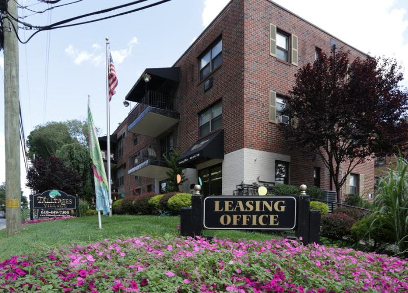
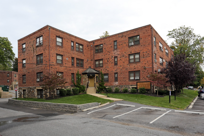
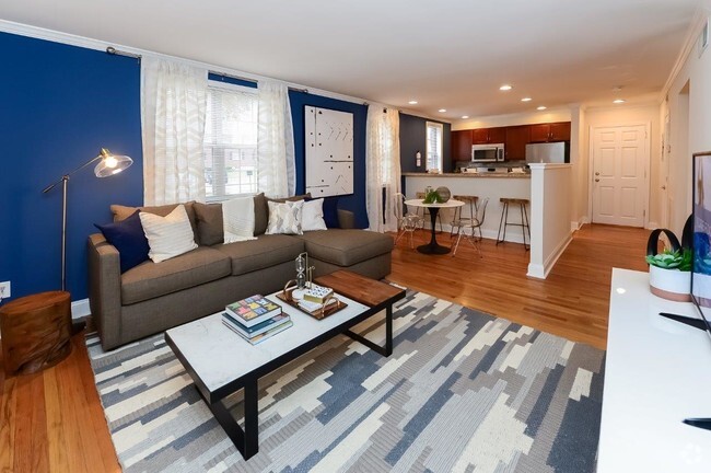
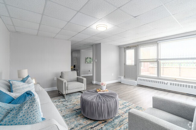
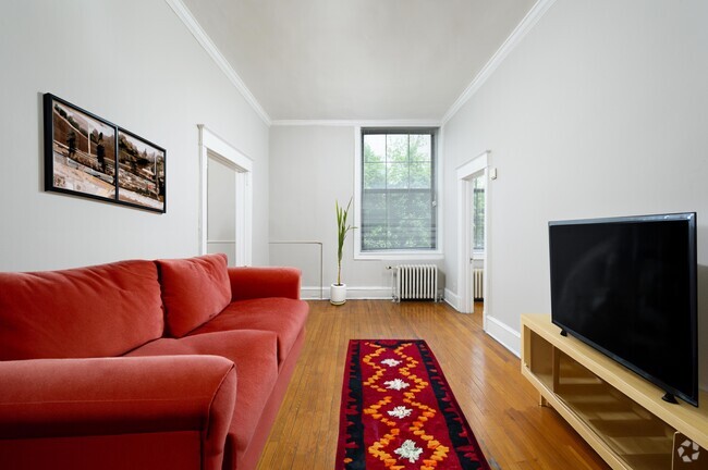
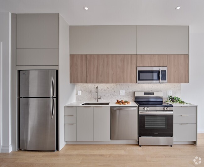
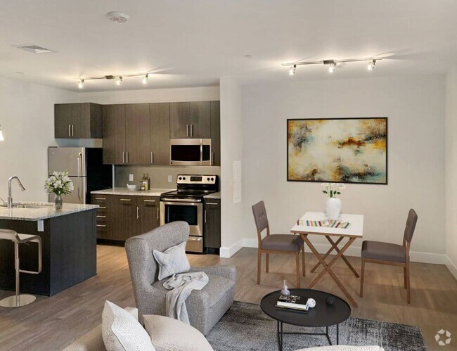
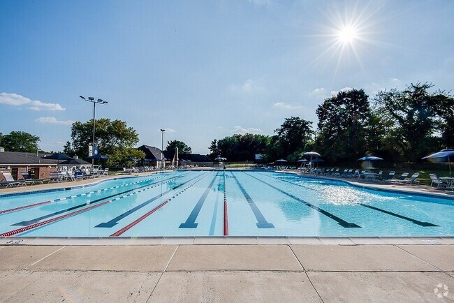
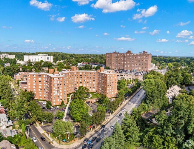
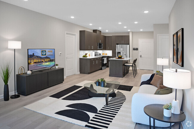
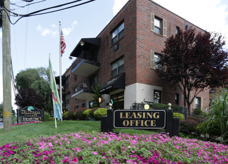
Property Id: 1147255 Tall Trees Village features spacious one, two and three bedroom suites with a wide variety of unique floor plans. Our charming brick garden apartment community offers a tranquil suburban setting with beautiful landscaped grounds. Conveniently located on Rt. 1, near 476, I-95, City Line Avenue, just 20 minutes to Center City Philadelphia. This premier property is an exceptional value with easy access to the Main Line, Hospitals (Bryn Mawr, Riddle, Lankenau), Shopping Centers (Manoa, KOP, Quarry Center, Lawrence Park), Restaurants, Universities (St. Joe's, Villanova, Temple, Penn, Drexel) and Historic Center City. Visit us and select your new home today!
4410 Township Line Rd is an apartment community located in Delaware County and the 19026 ZIP Code.
Features
Hardwood Floors
Refrigerator
Tile Floors
Security System
- Security System
- Oven
- Refrigerator
- Hardwood Floors
- Tile Floors
Fees and Policies
The fees below are based on community-supplied data and may exclude additional fees and utilities.
- Dogs Allowed
-
Fees not specified
- Cats Allowed
-
Fees not specified
Details
Utilities Included
-
Water
-
Trash Removal
-
Sewer
Drexel Hill is a suburb of Philadelphia and is known as one of the best areas to live in the metro area. With several parks and excellent schools, Drexel Hill exudes a family-friend vibe. This wooded neighborhood has rentals for every budget. Along with apartments in brick buildings, the neighborhood features single-family houses in a variety of classic styles including Colonials and Victorians. Renters are attracted to Drexel Hill's excellent location. Center City is only 10 miles away and is convenient to several colleges and universities. The University of Pennsylvania, Temple University, and Saint Joseph's College are just a few of the institutions that are only a few miles from Drexel Hill. Renters can take U.S. Route 1 or Highway 2 to travel around the metro area or hop on a train at one of the transit stations located right outside of Drexel Hill. Great for out-of-state trips, the Philly International Airport is about a 30-minute drive away.
Learn more about living in Drexel Hill- Security System
- Oven
- Refrigerator
- Hardwood Floors
- Tile Floors
| Colleges & Universities | Distance | ||
|---|---|---|---|
| Colleges & Universities | Distance | ||
| Drive: | 13 min | 4.7 mi | |
| Drive: | 15 min | 5.3 mi | |
| Drive: | 12 min | 5.4 mi | |
| Drive: | 15 min | 7.2 mi |
Transportation options available in Drexel Hill include Anderson Avenue, located 1.1 miles from 4410 Township Line Rd. 4410 Township Line Rd is near Philadelphia International, located 14.3 miles or 25 minutes away, and Trenton Mercer, located 48.0 miles or 66 minutes away.
| Transit / Subway | Distance | ||
|---|---|---|---|
| Transit / Subway | Distance | ||
|
|
Drive: | 4 min | 1.1 mi |
|
|
Drive: | 4 min | 1.2 mi |
|
|
Drive: | 4 min | 1.3 mi |
|
|
Drive: | 5 min | 1.5 mi |
|
|
Drive: | 5 min | 1.6 mi |
| Commuter Rail | Distance | ||
|---|---|---|---|
| Commuter Rail | Distance | ||
|
|
Drive: | 10 min | 3.1 mi |
|
|
Drive: | 10 min | 3.8 mi |
|
|
Drive: | 11 min | 4.0 mi |
|
|
Drive: | 11 min | 4.1 mi |
|
|
Drive: | 11 min | 4.1 mi |
| Airports | Distance | ||
|---|---|---|---|
| Airports | Distance | ||
|
Philadelphia International
|
Drive: | 25 min | 14.3 mi |
|
Trenton Mercer
|
Drive: | 66 min | 48.0 mi |
Time and distance from 4410 Township Line Rd.
| Shopping Centers | Distance | ||
|---|---|---|---|
| Shopping Centers | Distance | ||
| Walk: | 13 min | 0.7 mi | |
| Walk: | 16 min | 0.9 mi | |
| Walk: | 17 min | 0.9 mi |
| Parks and Recreation | Distance | ||
|---|---|---|---|
| Parks and Recreation | Distance | ||
|
Cobbs Creek Park
|
Drive: | 8 min | 3.6 mi |
|
Merion Botanical Park
|
Drive: | 11 min | 4.5 mi |
|
Cobbs Creek Environmental Education Center
|
Drive: | 12 min | 4.7 mi |
|
Haverford College Arboretum
|
Drive: | 12 min | 5.0 mi |
|
Hildacy Farm Preserve
|
Drive: | 12 min | 6.5 mi |
| Hospitals | Distance | ||
|---|---|---|---|
| Hospitals | Distance | ||
| Drive: | 8 min | 2.8 mi | |
| Drive: | 12 min | 4.7 mi | |
| Drive: | 12 min | 5.1 mi |
| Military Bases | Distance | ||
|---|---|---|---|
| Military Bases | Distance | ||
| Drive: | 29 min | 12.3 mi |
You May Also Like
Similar Rentals Nearby
What Are Walk Score®, Transit Score®, and Bike Score® Ratings?
Walk Score® measures the walkability of any address. Transit Score® measures access to public transit. Bike Score® measures the bikeability of any address.
What is a Sound Score Rating?
A Sound Score Rating aggregates noise caused by vehicle traffic, airplane traffic and local sources
