
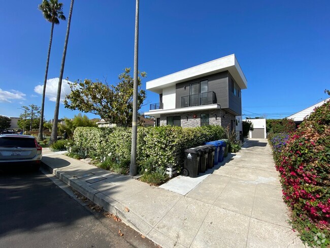
$3,795 / Month
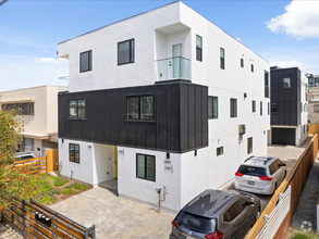
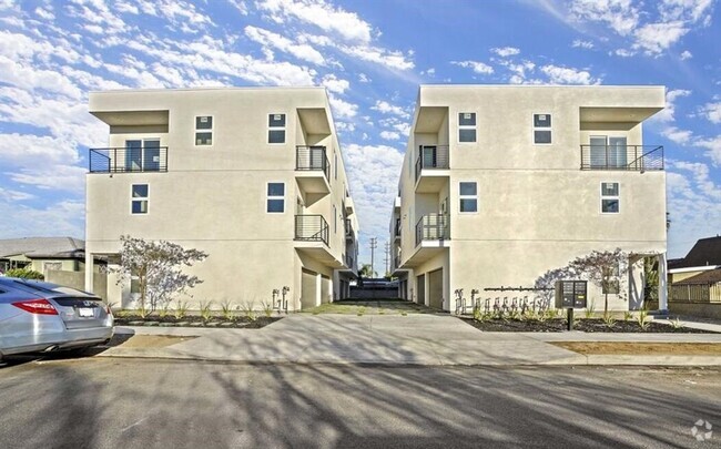
4452 Turquoise St
Los Angeles, CA 90032
1 Day Ago
Favorites
909-230-8628
-
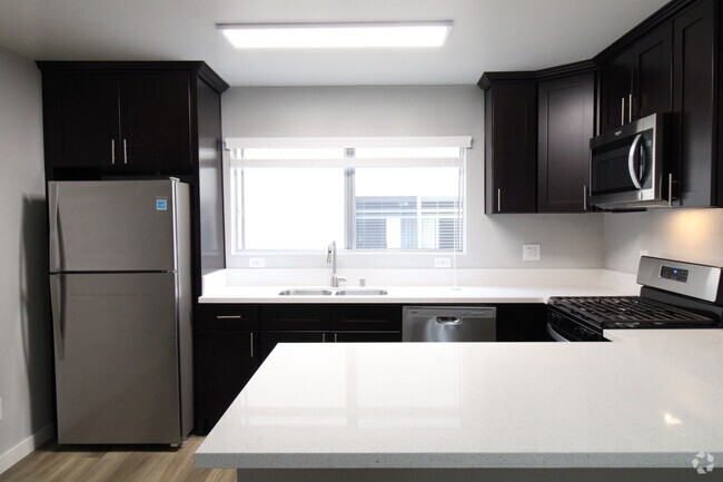
Bedrooms
3
-
Bathrooms
3
-
Square Feet
--
-
Available
Available Now
4452 Turquoise St

Favorites
Contact
- Listed by jonathan cuevas
- Phone Number
- Contact
$3,945 / month
$600,000 Listing Price
3 Beds
•3 Baths
•
1,464 Sq Ft
$3,951 / month
$619,000 Listing Price
3 Beds
•3 Baths
•
1,267 Sq Ft
$3,819 / month
$599,999 Listing Price
3 Beds
•3 Baths
•
1,492 Sq Ft
Location
Get Directions
Situated in northeast Los Angeles, just four miles from downtown, Montecito Heights sits atop a hilly landscape separating LA from the San Gabriel Valley. From the neighborhood’s steep hills, you can catch stunning views of downtown and the San Gabriel Valley in addition to the Arroyo Seco and even the Pacific Ocean (on a clear day).
Montecito Heights is known for its secluded feel despite being minutes away from Downtown LA. Natural beauty and lush parks abound in Montecito Heights. Ernest E. Debs Regional Park is one of the neighborhood’s defining features, touting 300 acres of scenic hiking trails, biking paths, picnic tables, a peaceful pond, and the striking panoramic views the neighborhood is revered for.
Montecito Heights is also home to the Heritage Square Museum, a living history museum that details life in 19th-century Southern California.
Learn more about living in Montecito Heights
Education
| Colleges & Universities | Distance | ||
|---|---|---|---|
| Colleges & Universities | Distance | ||
| Drive: | 4 min | 2.1 mi | |
| Drive: | 8 min | 3.4 mi | |
| Drive: | 13 min | 5.1 mi | |
| Drive: | 12 min | 6.0 mi |
4452 Turquoise St is within 4 minutes or 2.1 miles from USC, Health Sciences Campus. It is also near Cal State Los Angeles and Occidental College.
Schools


Public Elementary School
Grades K-6
294 Students
Attendance Zone
Charter Elementary School
Grades K-5
75 Students
Nearby
Public Middle School
Grades 6-8
862 Students
Attendance Zone
Public High School
Grades 9-12
1,406 Students
Attendance Zone
Public High School
Grades 9-12
1,028 Students
Attendance Zone
Private Elementary & Middle School
Grades K-8
125 Students
Nearby
Private Elementary School
Grades PK-5
131 Students
Nearby
Private High School
Grades 9-12
279 Students
Nearby
School data provided by
 The GreatSchools Rating helps parents compare schools within a state based on a variety of school quality indicators and provides a helpful picture of how effectively each school serves all of its students. Ratings are on a scale of 1 (below average) to 10 (above average) and can include test scores, college readiness, academic progress, advanced courses, equity, discipline and attendance data. We also advise parents to visit schools, consider other information on school performance and programs, and consider family needs as part of the school selection process.
View GreatSchools Rating Methodology
View GreatSchools Rating Methodology
Transportation options available in Los Angeles include Lincoln Heights/Cypress Park Station, located 2.3 miles from 4452 Turquoise St. 4452 Turquoise St is near Bob Hope, located 16.9 miles or 25 minutes away, and Los Angeles International, located 19.7 miles or 33 minutes away.
| Transit / Subway | Distance | ||
|---|---|---|---|
| Transit / Subway | Distance | ||
|
|
Drive: | 5 min | 2.3 mi |
|
|
Drive: | 6 min | 2.5 mi |
|
|
Drive: | 5 min | 2.9 mi |
|
|
Drive: | 8 min | 2.9 mi |
|
|
Drive: | 8 min | 3.3 mi |
| Commuter Rail | Distance | ||
|---|---|---|---|
| Commuter Rail | Distance | ||
|
|
Drive: | 9 min | 3.6 mi |
|
|
Drive: | 7 min | 3.7 mi |
|
|
Drive: | 12 min | 6.2 mi |
| Drive: | 11 min | 7.6 mi | |
|
|
Drive: | 18 min | 11.1 mi |
| Airports | Distance | ||
|---|---|---|---|
| Airports | Distance | ||
|
Bob Hope
|
Drive: | 25 min | 16.9 mi |
|
Los Angeles International
|
Drive: | 33 min | 19.7 mi |
Time and distance from 4452 Turquoise St.
| Shopping Centers | Distance | ||
|---|---|---|---|
| Shopping Centers | Distance | ||
| Drive: | 3 min | 1.2 mi | |
| Drive: | 5 min | 1.9 mi | |
| Drive: | 6 min | 2.3 mi |
4452 Turquoise St has 3 shopping centers within 2.3 miles, which is about a 6-minute drive. The miles and minutes will be for the farthest away property.
| Parks and Recreation | Distance | ||
|---|---|---|---|
| Parks and Recreation | Distance | ||
|
Audubon Center at Debs Park
|
Drive: | 8 min | 3.3 mi |
|
Hollenbeck Lake
|
Drive: | 6 min | 3.5 mi |
|
Chavez Ravine Arboretum
|
Drive: | 9 min | 4.3 mi |
|
Elysian Park
|
Drive: | 12 min | 4.3 mi |
|
Elyria Canyon Park
|
Drive: | 11 min | 4.9 mi |
4452 Turquoise St has 5 parks within 4.9 miles, including Audubon Center at Debs Park, Hollenbeck Lake, and Elysian Park.
| Hospitals | Distance | ||
|---|---|---|---|
| Hospitals | Distance | ||
| Drive: | 3 min | 1.8 mi | |
| Drive: | 5 min | 2.6 mi | |
| Drive: | 7 min | 3.3 mi |
4452 Turquoise St has 3 hospitals within 3.3 miles, the nearest is Keck Hospital of USC which is 1.8 miles away and a 3 minute drive.
| Military Bases | Distance | ||
|---|---|---|---|
| Military Bases | Distance | ||
| Drive: | 30 min | 21.3 mi | |
| Drive: | 39 min | 26.8 mi |
4452 Turquoise St is 21.3 miles from Los Angeles Air Force Base, and is convenient to other military bases, including Los Alamitos Army Airfield.
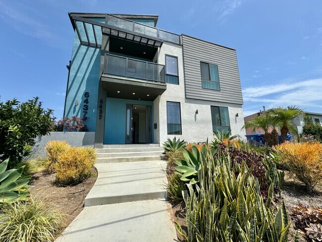
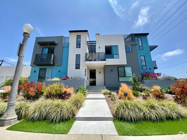
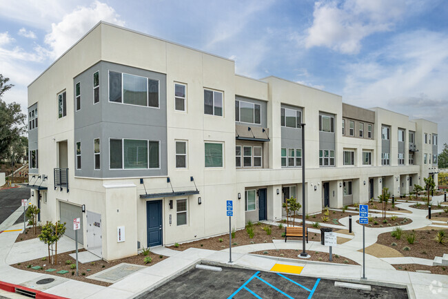
You May Also Like
Similar Rentals Nearby
-
-
-
-
-
1 / 50
-
-
-
-
-
What Are Walk Score®, Transit Score®, and Bike Score® Ratings?
Walk Score® measures the walkability of any address. Transit Score® measures access to public transit. Bike Score® measures the bikeability of any address.
What is a Sound Score Rating?
A Sound Score Rating aggregates noise caused by vehicle traffic, airplane traffic and local sources
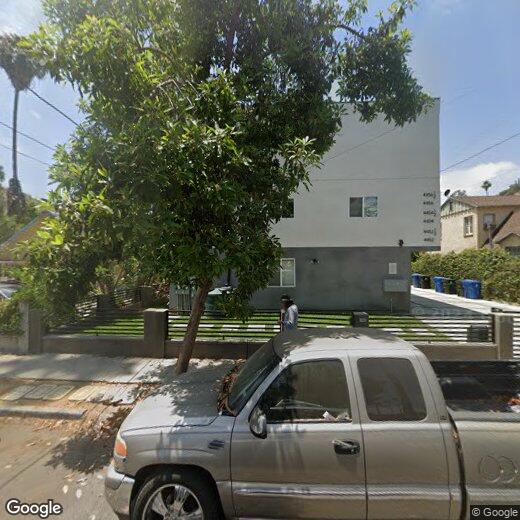
4452 Turquoise St
Los Angeles, CA 90032