

$2,150 / Month
450 N Civic Dr
Walnut Creek, CA 94596
Today
Favorites
925-979-5550
-
Bedrooms
1
-
Bathrooms
1
-
Square Feet
682 sq ft
-
Available
Available Now
450 N Civic Dr

Favorites
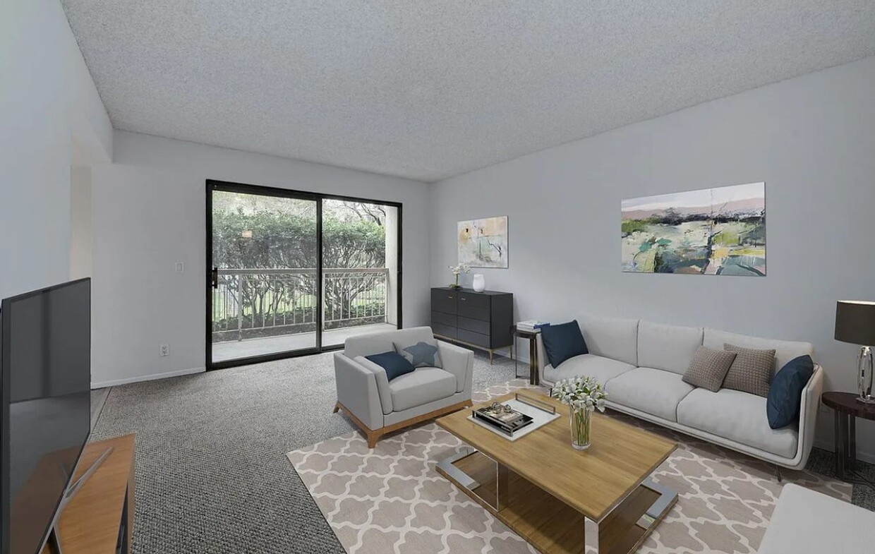
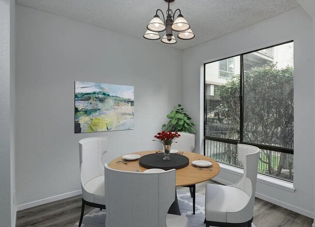
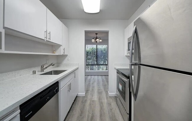
About This Home
Available Now
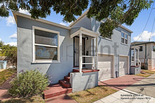
You will be living in a resort like community with amenities that really must be seen! This first story one bedroom condo has been upgraded with new laminate flooring, updated kitchen with new composite counter tops and new stainless steel appliances. The bathroom has also been updated with similar products. A short walk to BART and Downtown. The Iron Horse Trail for hiking, biking and walking is located just off the back of the building. This property is a must see! Water and trash are included. The tenant is responsible for reimbursing the owner for PGE and Cable.
450 N Civic Dr is a house located in Contra Costa County and the 94596 ZIP Code. This area is served by the Walnut Creek Elementary attendance zone.
* Price shown is base rent and may not include non-optional fees and utilities.
Price, availability, fees, and any applicable rent special are subject to change without notice.
* Square footage definitions vary. Displayed square footage is approximate.
Contact
- Listed by Diablo Pacific, Inc. | Diablo Pacific, Inc.
- Phone Number
- Contact
Location
Get Directions
The Keys is a small suburban neighborhood located just a few blocks north of Downtown Walnut Creek. The neighborhood itself is almost entirely residential, with several parks and public schools nearby. Residents enjoy prime access to the wealth of shopping, dining, and entertainment in the city center, from the high-end Broadway Plaza open-air mall to the eclectic cafes and bars along Main Street. With convenient access to Interstate 680 and the Pleasant Hill/Contra Costa Centre BART station, living in The Keys puts the entire bay area at your fingertips.
Learn more about living in The Keys
Education
| Colleges & Universities | Distance | ||
|---|---|---|---|
| Colleges & Universities | Distance | ||
| Drive: | 11 min | 4.6 mi | |
| Drive: | 18 min | 7.7 mi | |
| Drive: | 25 min | 15.3 mi | |
| Drive: | 29 min | 19.1 mi |
450 N Civic Dr is within 11 minutes or 4.6 miles from Diablo Valley, Pleasant Hill. It is also near Saint Marys Coll. of Calif. and UC Berkeley.
Schools


Public Elementary School
Grades K-5
497 Students
Nearby
Public Elementary School
Grades K-5
356 Students
Attendance Zone
Public Middle School
Grades 6-8
985 Students
Attendance Zone
Public High School
Grades 9-12
1,571 Students
Attendance Zone
Private Elementary & Middle School
Grades PK-8
259 Students
Nearby
Private Elementary & Middle School
Grades K-8
370 Students
Nearby
Private Middle & High School
Grades 6-12
Nearby
School data provided by
 The GreatSchools Rating helps parents compare schools within a state based on a variety of school quality indicators and provides a helpful picture of how effectively each school serves all of its students. Ratings are on a scale of 1 (below average) to 10 (above average) and can include test scores, college readiness, academic progress, advanced courses, equity, discipline and attendance data. We also advise parents to visit schools, consider other information on school performance and programs, and consider family needs as part of the school selection process.
View GreatSchools Rating Methodology
View GreatSchools Rating Methodology
Transportation options available in Walnut Creek include Walnut Creek Station, located 1.0 miles from 450 N Civic Dr. 450 N Civic Dr is near Metro Oakland International, located 25.1 miles or 35 minutes away, and San Francisco International, located 37.1 miles or 53 minutes away.
| Transit / Subway | Distance | ||
|---|---|---|---|
| Transit / Subway | Distance | ||
|
|
Walk: | 19 min | 1.0 mi |
|
|
Walk: | 20 min | 1.1 mi |
|
|
Drive: | 8 min | 5.1 mi |
|
|
Drive: | 10 min | 5.5 mi |
|
|
Drive: | 11 min | 7.1 mi |
| Commuter Rail | Distance | ||
|---|---|---|---|
| Commuter Rail | Distance | ||
|
|
Drive: | 16 min | 11.0 mi |
|
|
Drive: | 25 min | 16.5 mi |
|
|
Drive: | 25 min | 18.2 mi |
|
|
Drive: | 27 min | 19.8 mi |
|
|
Drive: | 28 min | 20.2 mi |
| Airports | Distance | ||
|---|---|---|---|
| Airports | Distance | ||
|
Metro Oakland International
|
Drive: | 35 min | 25.1 mi |
|
San Francisco International
|
Drive: | 53 min | 37.1 mi |
Time and distance from 450 N Civic Dr.
| Shopping Centers | Distance | ||
|---|---|---|---|
| Shopping Centers | Distance | ||
| Walk: | 10 min | 0.5 mi | |
| Walk: | 11 min | 0.6 mi | |
| Drive: | 3 min | 1.1 mi |
450 N Civic Dr has 3 shopping centers within 1.1 miles, which is about a 3-minute walk. The miles and minutes will be for the farthest away property.
| Parks and Recreation | Distance | ||
|---|---|---|---|
| Parks and Recreation | Distance | ||
|
Civic Park
|
Walk: | 18 min | 1.0 mi |
|
Butterfly Habitat Gardens
|
Walk: | 18 min | 1.0 mi |
|
Contra Costa Canal Regional Trail
|
Drive: | 3 min | 1.5 mi |
|
Gardens at Heather Farm
|
Drive: | 5 min | 2.2 mi |
|
Heather Farm Park
|
Drive: | 5 min | 2.3 mi |
450 N Civic Dr has 5 parks within 2.3 miles, including Civic Park, Butterfly Habitat Gardens, and Contra Costa Canal Regional Trail.
| Hospitals | Distance | ||
|---|---|---|---|
| Hospitals | Distance | ||
| Drive: | 3 min | 1.8 mi | |
| Drive: | 4 min | 1.8 mi | |
| Drive: | 9 min | 6.0 mi |
450 N Civic Dr has 3 hospitals within 6.0 miles, the nearest is John Muir Medical Center - Walnut Creek Campus which is 1.8 miles away and a 3 minute drive.
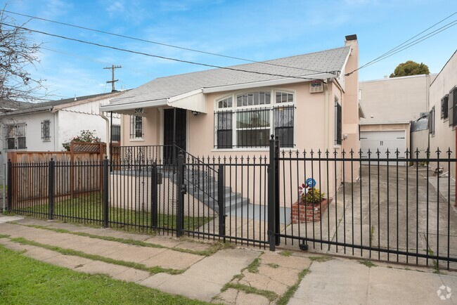
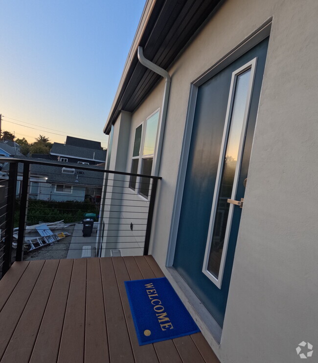
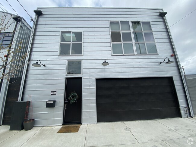
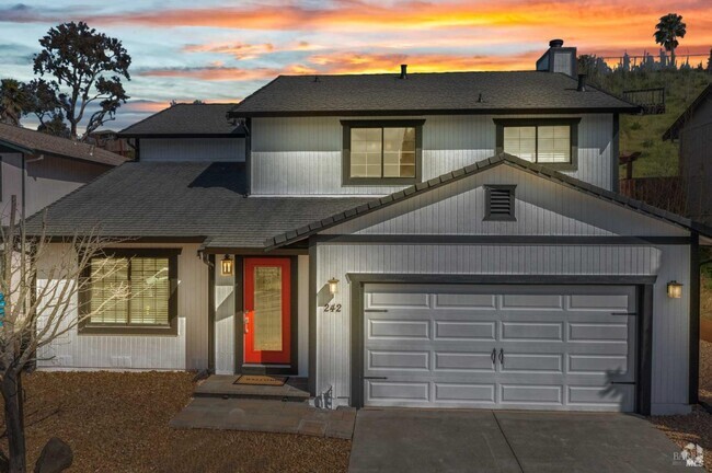
You May Also Like
Similar Rentals Nearby


What Are Walk Score®, Transit Score®, and Bike Score® Ratings?
Walk Score® measures the walkability of any address. Transit Score® measures access to public transit. Bike Score® measures the bikeability of any address.
What is a Sound Score Rating?
A Sound Score Rating aggregates noise caused by vehicle traffic, airplane traffic and local sources

450 N Civic Dr
Walnut Creek, CA 94596