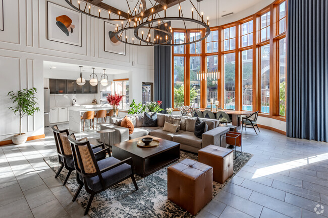
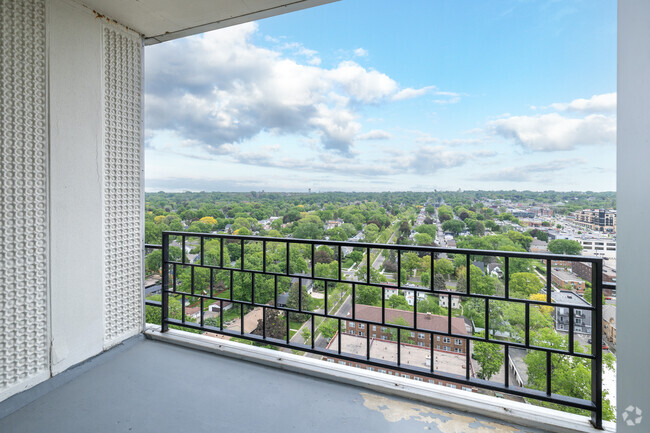
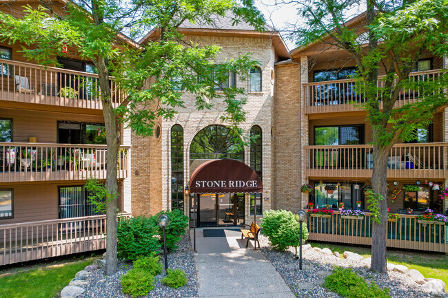
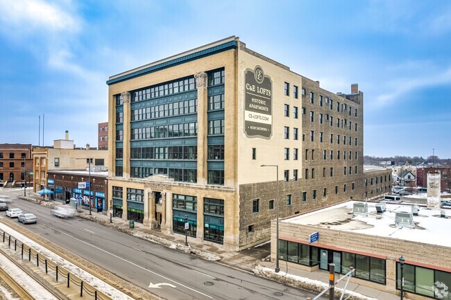
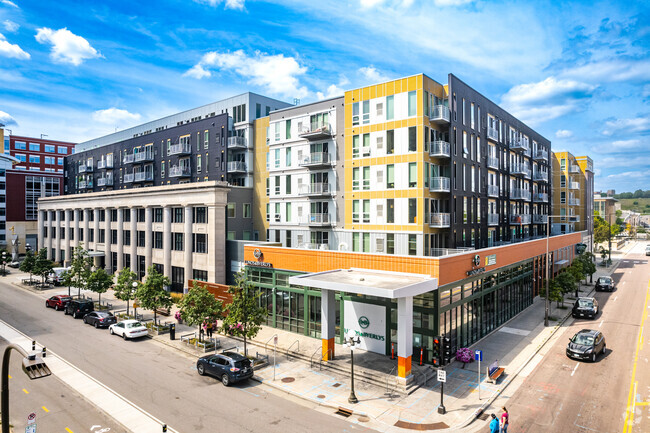
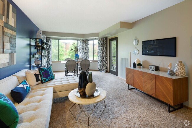
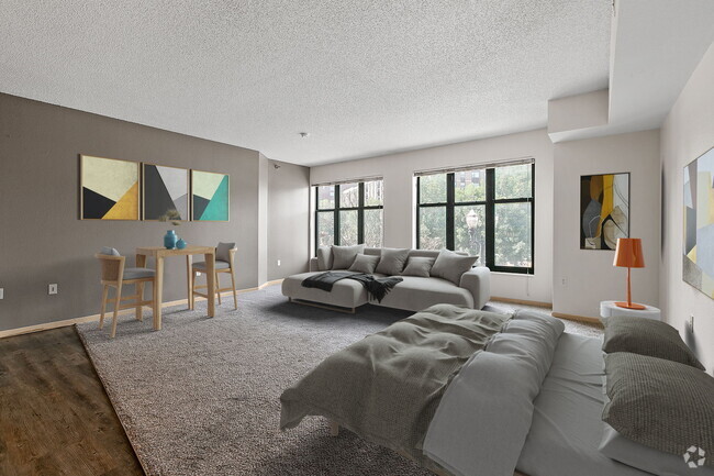
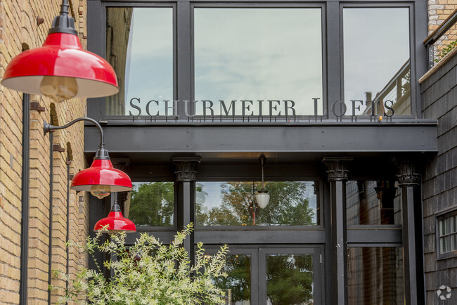
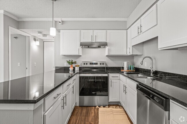
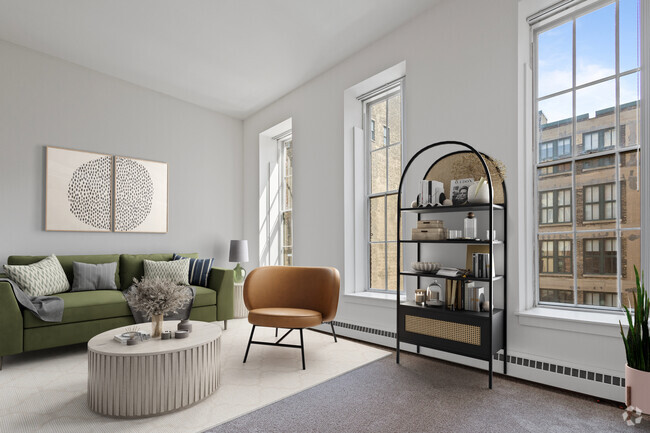
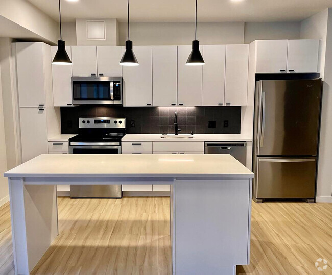
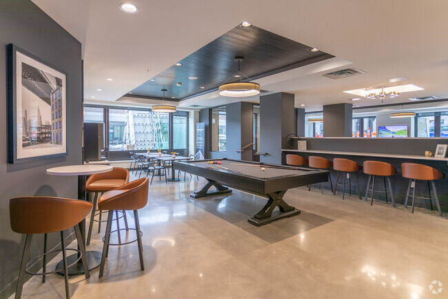
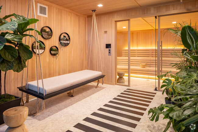
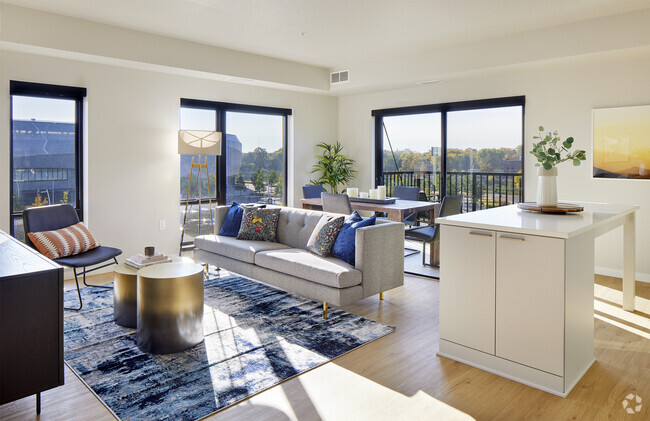
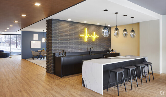
Apartments for Rent in Saint Paul MN - 4,444 Rentals
-
-
-
-
-
-
-
-
-
-
-
-
-
-
-
-
-
-
-
-
-
-
-
-
-
-
-
-
-
-
-
-
-
-
-
-
-
-
-
-
-
Showing 40 of 572 Results - Page 1 of 15


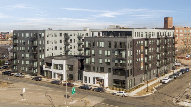
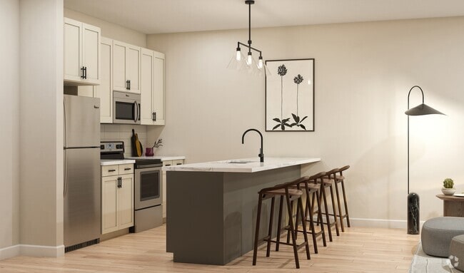
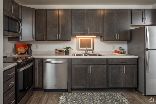
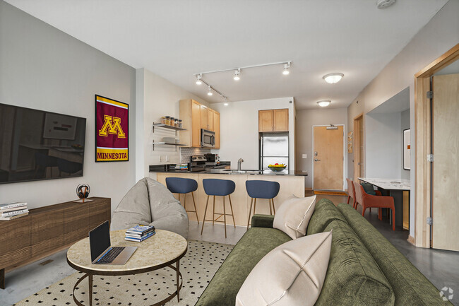

Find the Perfect Saint Paul, MN Apartment
Saint Paul, MN Apartments for Rent
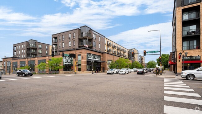
Separated from Minneapolis by the Mississippi River, the eastern half of the Twin Cities is known for being a bit more laid back and subdued. The landscape is dominated by grand government buildings, stately Victorian homes, and tranquil green spaces.
Saint Paul residents love to spend time outdoors. The city has earned international acclaim as one of the most bicycle-friendly communities in America, and many choose to get around by bike on a day-to-day basis. The Mississippi River is bordered by massive parks as it snakes around the city, providing lush greenery and scenic views. Although the winter months in Minnesota are infamous, locals laugh in the face of sub-freezing temperatures with the Saint Paul Winter Carnival, an immensely popular celebration that draws thousands every year. There’s a plethora of shopping and dining options downtown, including a number of breweries. The Minnesota History Center and Children’s Museum make for an enriching afternoon for residents and visitors alike.
St. Paul renters are open to endless array of attractive homes and engaging apartment communities, all surrounded by a number of Interstates and two airports that make exploring the Twin Cities easy.
Saint Paul, MN Rental Insights
Average Rent Rates
What is the average rent in Saint Paul, MN?
The average rent in Saint Paul is $1,265. When you rent an apartment in Saint Paul, you can expect to pay as little as $1,111 or as much as $2,110, depending on the location and the size of the apartment.
What is the average rent of a Studio apartment in Saint Paul, MN?
The average rent for a studio apartment in Saint Paul, MN is $1,111 per month.
What is the average rent of a 1 bedroom apartment in Saint Paul, MN?
The average rent for a one bedroom apartment in Saint Paul, MN is $1,267 per month.
What is the average rent of a 2 bedroom apartment in Saint Paul, MN?
The average rent for a two bedroom apartment in Saint Paul, MN is $1,606 per month.
What is the average rent of a 3 bedroom apartment in Saint Paul, MN?
The average rent for a three bedroom apartment in Saint Paul, MN is $2,110 per month.
Education
What colleges and universities are in Saint Paul, MN?
If you’re a student moving to an apartment in Saint Paul, you’ll have access to Saint Paul College, Metropolitan State University, and Concordia Univ.-Saint Paul.
Helpful Rental Guides for Saint Paul, MN


Search Nearby Rentals
Rentals Near Saint Paul
Neighborhood Apartment Rentals
- West Side Apartments for Rent
- South St Paul Apartments for Rent
- South Minneapolis Apartments for Rent
- Downtown Minneapolis Apartments for Rent
- Northeast Minneapolis Apartments for Rent
- North Minneapolis Apartments for Rent
- Washington Far Eastern Suburbs Apartments for Rent
- Woodland Park Apartments for Rent
- Riverview Apartments for Rent
- Summit-University Apartments for Rent