
$2,200 / Month
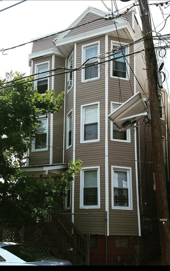
453 S 12th St Unit 1
Newark, NJ 07103
3 Days Ago
Favorites
453 S 12th St Unit 1

Favorites
Check Back Soon for Upcoming Availability
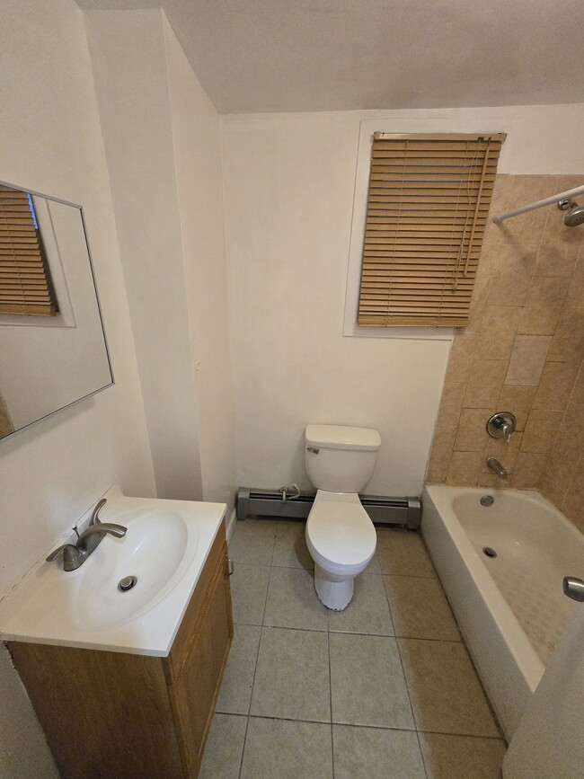
| Beds | Baths | Average SF |
|---|---|---|
| 3 Bedrooms 3 Bedrooms 3 Br | 1 Bath 1 Bath 1 Ba | 1,200 SF |
About This Property
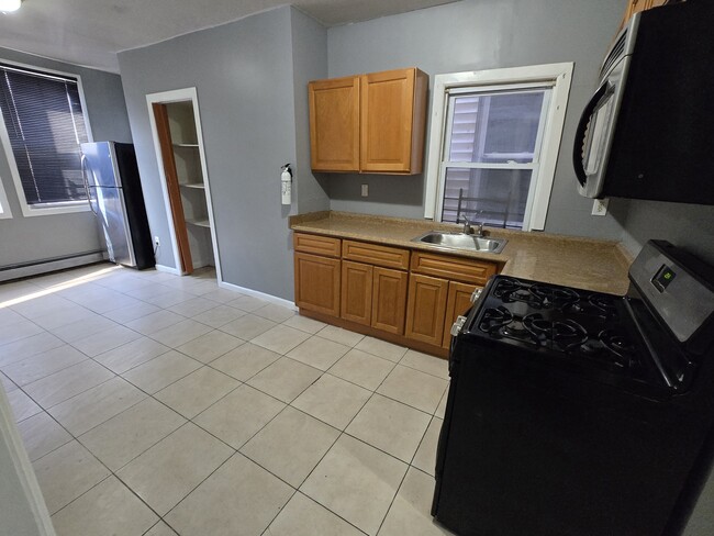
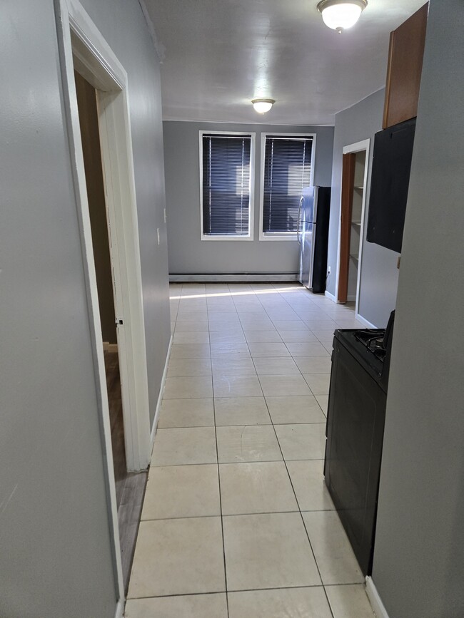
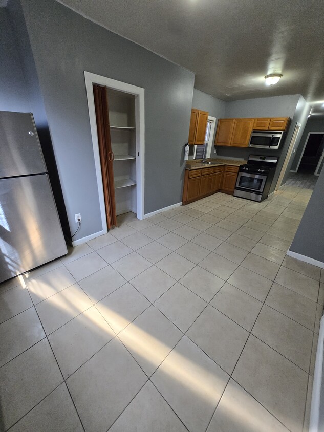
Newly Renovated 3 Bedroom 1st Floor Apartment Featuring....New luxury waterproof vinyl tile floors... Stainless steel kitchen appliances...Large eat-in kitchen with lots of cabinets and pantry space...Full backyard...Close to schools, parks and public transportation to NYC...Local and experienced building manager...Owner pays water...Tenant pays electric and gas... Application required (background, credit and eviction report)...Security deposit= 1.5 month rent...Sec 8, DCA and cash accepted.
453 S 12th St is an apartment community located in Essex County and the 07103 ZIP Code. This area is served by the The Newark Public attendance zone.
Apartment Features
Refrigerator
Tile Floors
Stainless Steel Appliances
Smoke Free
- Smoke Free
- Stainless Steel Appliances
- Pantry
- Eat-in Kitchen
- Kitchen
- Oven
- Refrigerator
- Tile Floors
- Vinyl Flooring
- Porch
- Yard
Fees and Policies
The fees below are based on community-supplied data and may exclude additional fees and utilities.
- Cats Allowed
-
Fees not specified
-
Weight limit--
-
Pet Limit--
- Parking
-
Street--
Details
Utilities Included
-
Water
-
Sewer
Lease Options
-
12 Months
Property Information
-
2 units
Location
Get Directions
The West Side of Newark is a well-established, urban community. Situated just west of downtown, the historic West Side County Park anchors the community and draws in locals for baseball and other recreation in the city’s Central Ward. Residents of this community enjoy plentiful public transportation, an array of amenities along Springfield Avenue, and various apartments and condos for rent. West Side is very pedestrian friendly, with many residents walking from place to place. Great public schools, universities, and neighborhood parks can be found around the West Side of Newark.
Learn more about living in West SideBelow are rent ranges for similar nearby apartments
Amenities
- Smoke Free
- Stainless Steel Appliances
- Pantry
- Eat-in Kitchen
- Kitchen
- Oven
- Refrigerator
- Tile Floors
- Vinyl Flooring
- Porch
- Yard
Expenses
Utilities Included
Water, Sewer
Included
Education
| Colleges & Universities | Distance | ||
|---|---|---|---|
| Colleges & Universities | Distance | ||
| Drive: | 4 min | 1.9 mi | |
| Drive: | 3 min | 1.9 mi | |
| Drive: | 4 min | 2.2 mi | |
| Drive: | 7 min | 2.9 mi |
453 S 12th St Unit 1 is within 3 minutes or 1.9 miles from Essex County College. It is also near N.J. Inst. of Technology and Rutgers, Newark Campus.
Schools


Public Elementary & Middle School
Grades PK-8
335 Students
Attendance Zone
Public High School
Grades 9-12
609 Students
Attendance Zone
Public High School
Grades 9-12
141 Students
Attendance Zone
Private Elementary & Middle School
Grades PK-8
Nearby
Private Middle & High School
Grades 7-12
Nearby
School data provided by
 The GreatSchools Rating helps parents compare schools within a state based on a variety of school quality indicators and provides a helpful picture of how effectively each school serves all of its students. Ratings are on a scale of 1 (below average) to 10 (above average) and can include test scores, college readiness, academic progress, advanced courses, equity, discipline and attendance data. We also advise parents to visit schools, consider other information on school performance and programs, and consider family needs as part of the school selection process.
View GreatSchools Rating Methodology
View GreatSchools Rating Methodology
Transportation options available in Newark include Warren Street, located 1.7 miles from 453 S 12th St Unit 1. 453 S 12th St Unit 1 is near Newark Liberty International, located 6.4 miles or 11 minutes away, and Laguardia, located 28.9 miles or 44 minutes away.
| Transit / Subway | Distance | ||
|---|---|---|---|
| Transit / Subway | Distance | ||
|
|
Drive: | 3 min | 1.7 mi |
|
|
Drive: | 3 min | 1.7 mi |
|
|
Drive: | 4 min | 1.8 mi |
|
|
Drive: | 4 min | 1.9 mi |
|
|
Drive: | 4 min | 2.2 mi |
| Commuter Rail | Distance | ||
|---|---|---|---|
| Commuter Rail | Distance | ||
|
|
Drive: | 4 min | 2.3 mi |
|
|
Drive: | 5 min | 2.4 mi |
|
|
Drive: | 5 min | 2.4 mi |
|
|
Drive: | 5 min | 2.8 mi |
|
|
Drive: | 11 min | 4.8 mi |
| Airports | Distance | ||
|---|---|---|---|
| Airports | Distance | ||
|
Newark Liberty International
|
Drive: | 11 min | 6.4 mi |
|
Laguardia
|
Drive: | 44 min | 28.9 mi |
Time and distance from 453 S 12th St Unit 1.
| Shopping Centers | Distance | ||
|---|---|---|---|
| Shopping Centers | Distance | ||
| Walk: | 13 min | 0.7 mi | |
| Drive: | 3 min | 1.2 mi | |
| Drive: | 3 min | 1.5 mi |
453 S 12th St Unit 1 has 3 shopping centers within 1.5 miles, which is about a 3-minute walk. The miles and minutes will be for the farthest away property.
| Parks and Recreation | Distance | ||
|---|---|---|---|
| Parks and Recreation | Distance | ||
|
Newark Museum and Dreyfuss Planetarium
|
Drive: | 4 min | 2.2 mi |
|
Branch Brook Park
|
Drive: | 7 min | 3.4 mi |
|
Edison National Historic Site
|
Drive: | 10 min | 5.0 mi |
|
Kearny Marsh
|
Drive: | 11 min | 5.5 mi |
|
Turtle Back Zoo
|
Drive: | 14 min | 6.8 mi |
453 S 12th St Unit 1 has 5 parks within 6.8 miles, including Newark Museum and Dreyfuss Planetarium, Branch Brook Park, and Edison National Historic Site.
| Hospitals | Distance | ||
|---|---|---|---|
| Hospitals | Distance | ||
| Walk: | 15 min | 0.8 mi | |
| Drive: | 3 min | 1.8 mi | |
| Drive: | 4 min | 2.2 mi |
453 S 12th St Unit 1 has 3 hospitals within 2.2 miles, the nearest is The University Hospital which is 0.8 mile away and a 15 minute walk.
| Military Bases | Distance | ||
|---|---|---|---|
| Military Bases | Distance | ||
| Drive: | 16 min | 10.2 mi | |
| Drive: | 28 min | 14.3 mi | |
| Drive: | 32 min | 18.4 mi |
453 S 12th St Unit 1 has 3 military bases within 18.4 miles, the nearest is Military Ocean Terminal which is 10.2 miles away and a 16 minute drive.
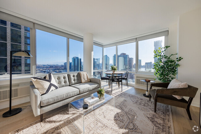
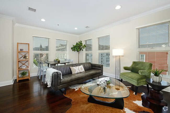
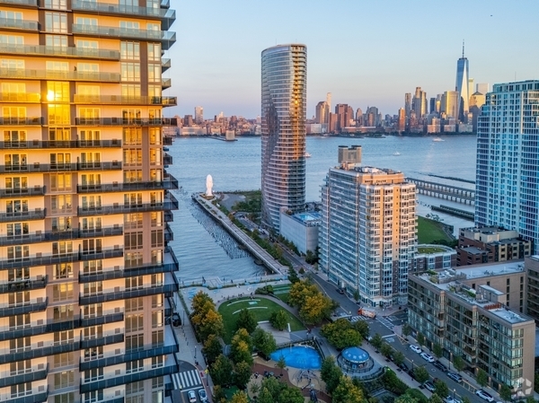
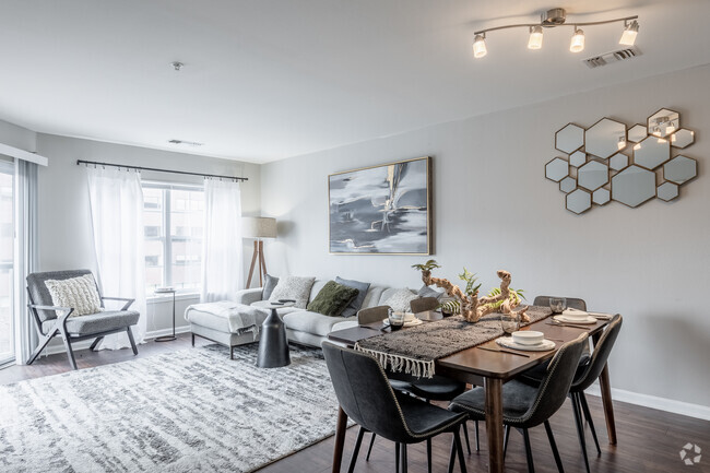
You May Also Like
Similar Rentals Nearby


What Are Walk Score®, Transit Score®, and Bike Score® Ratings?
Walk Score® measures the walkability of any address. Transit Score® measures access to public transit. Bike Score® measures the bikeability of any address.
What is a Sound Score Rating?
A Sound Score Rating aggregates noise caused by vehicle traffic, airplane traffic and local sources
453 S 12th St
Newark, NJ 07103