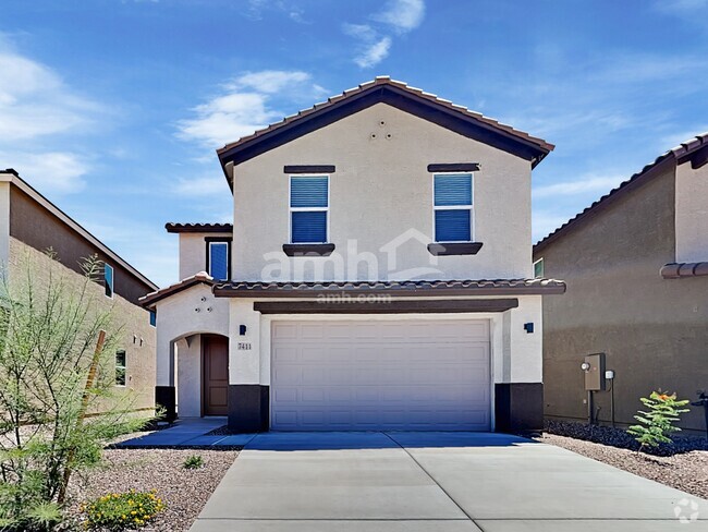
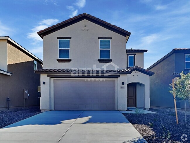
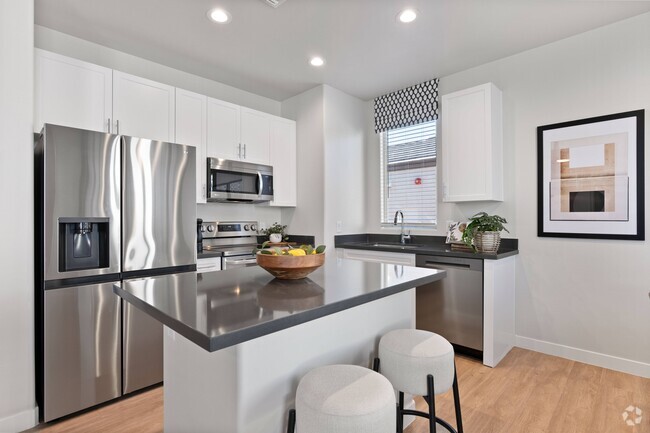
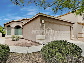
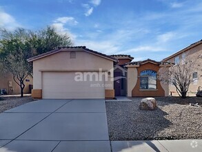
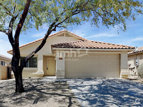
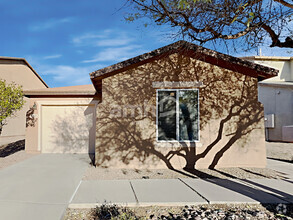
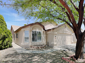
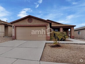
4538 S Paseo Rio Bravo
Tucson, AZ 85714


Check Back Soon for Upcoming Availability
 This Property
 Available Property
Tucson is a lively oasis in Arizona’s Sonoran Desert, surrounded by numerous mountain ranges. The city of Tucson is as scenic as it gets, seeing as it’s surrounded by beautiful nature preserves and mountainous terrain, including Saguaro National Park, Mount Lemmon, and Tucson Mountain Park – making it an excellent place for renters who love mountain biking, hiking, camping, and rock climbing.
The University of Arizona is just a few blocks from Downtown Tucson, and the more than 40,000 students enrolled at the university contribute to the city’s eclectic arts, entertainment, and nightlife scenes. Downtown Tucson has undergone major renovations since the early 2000s, blossoming into a thriving hub of activity for residents and visitors alike.
The Davis-Monthan Air Force Base lies near the center of the city, and is one of Tucson’s biggest employers for armed service personnel and civilians alike.
Learn more about living in Tucson| Colleges & Universities | Distance | ||
|---|---|---|---|
| Colleges & Universities | Distance | ||
| Drive: | 11 min | 3.8 mi | |
| Drive: | 10 min | 4.9 mi | |
| Drive: | 11 min | 5.8 mi | |
| Drive: | 14 min | 6.3 mi |
Transportation options available in Tucson include Sl/Cushing/Av Del Convento, located 4.2 miles from 4538 S Paseo Rio Bravo. 4538 S Paseo Rio Bravo is near Tucson International, located 7.8 miles or 16 minutes away.
| Transit / Subway | Distance | ||
|---|---|---|---|
| Transit / Subway | Distance | ||
| Drive: | 9 min | 4.2 mi | |
| Drive: | 8 min | 4.3 mi | |
| Drive: | 8 min | 4.5 mi | |
| Drive: | 9 min | 4.5 mi | |
| Drive: | 9 min | 4.6 mi |
| Commuter Rail | Distance | ||
|---|---|---|---|
| Commuter Rail | Distance | ||
|
|
Drive: | 10 min | 5.1 mi |
| Airports | Distance | ||
|---|---|---|---|
| Airports | Distance | ||
|
Tucson International
|
Drive: | 16 min | 7.8 mi |
Time and distance from 4538 S Paseo Rio Bravo.
| Shopping Centers | Distance | ||
|---|---|---|---|
| Shopping Centers | Distance | ||
| Drive: | 4 min | 1.6 mi | |
| Drive: | 5 min | 1.8 mi | |
| Drive: | 7 min | 2.3 mi |
| Parks and Recreation | Distance | ||
|---|---|---|---|
| Parks and Recreation | Distance | ||
|
John F. Kennedy Park
|
Drive: | 5 min | 1.6 mi |
|
Mission Manor Park
|
Drive: | 9 min | 3.9 mi |
|
Winston Reynolds-Manzanita Park
|
Drive: | 10 min | 4.0 mi |
|
Santa Rita Park
|
Drive: | 9 min | 4.2 mi |
|
Sunnyside Park
|
Drive: | 12 min | 5.5 mi |
| Hospitals | Distance | ||
|---|---|---|---|
| Hospitals | Distance | ||
| Drive: | 9 min | 4.2 mi | |
| Drive: | 11 min | 5.8 mi | |
| Drive: | 15 min | 7.5 mi |
| Military Bases | Distance | ||
|---|---|---|---|
| Military Bases | Distance | ||
| Drive: | 14 min | 6.7 mi | |
| Drive: | 22 min | 14.4 mi | |
| Drive: | 88 min | 74.1 mi |
You May Also Like
Similar Rentals Nearby
-
-
-
-
-
$1,8253 Beds, 2 Baths, 1,284 sq ftHouse for Rent
-
$1,7153 Beds, 2 Baths, 1,724 sq ftHouse for Rent
-
$1,6853 Beds, 2 Baths, 1,495 sq ftHouse for Rent
-
$1,6853 Beds, 2 Baths, 1,295 sq ftHouse for Rent
-
$1,7703 Beds, 2 Baths, 1,569 sq ftHouse for Rent
-
$1,7453 Beds, 2 Baths, 1,560 sq ftHouse for Rent
What Are Walk Score®, Transit Score®, and Bike Score® Ratings?
Walk Score® measures the walkability of any address. Transit Score® measures access to public transit. Bike Score® measures the bikeability of any address.
What is a Sound Score Rating?
A Sound Score Rating aggregates noise caused by vehicle traffic, airplane traffic and local sources

