
$975 / Month
4570 Hwy 53
Hoschton, GA 30548
2 Weeks Ago
Favorites
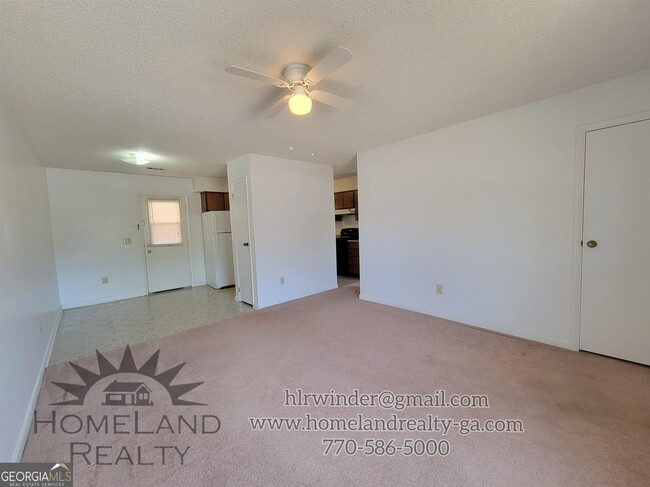
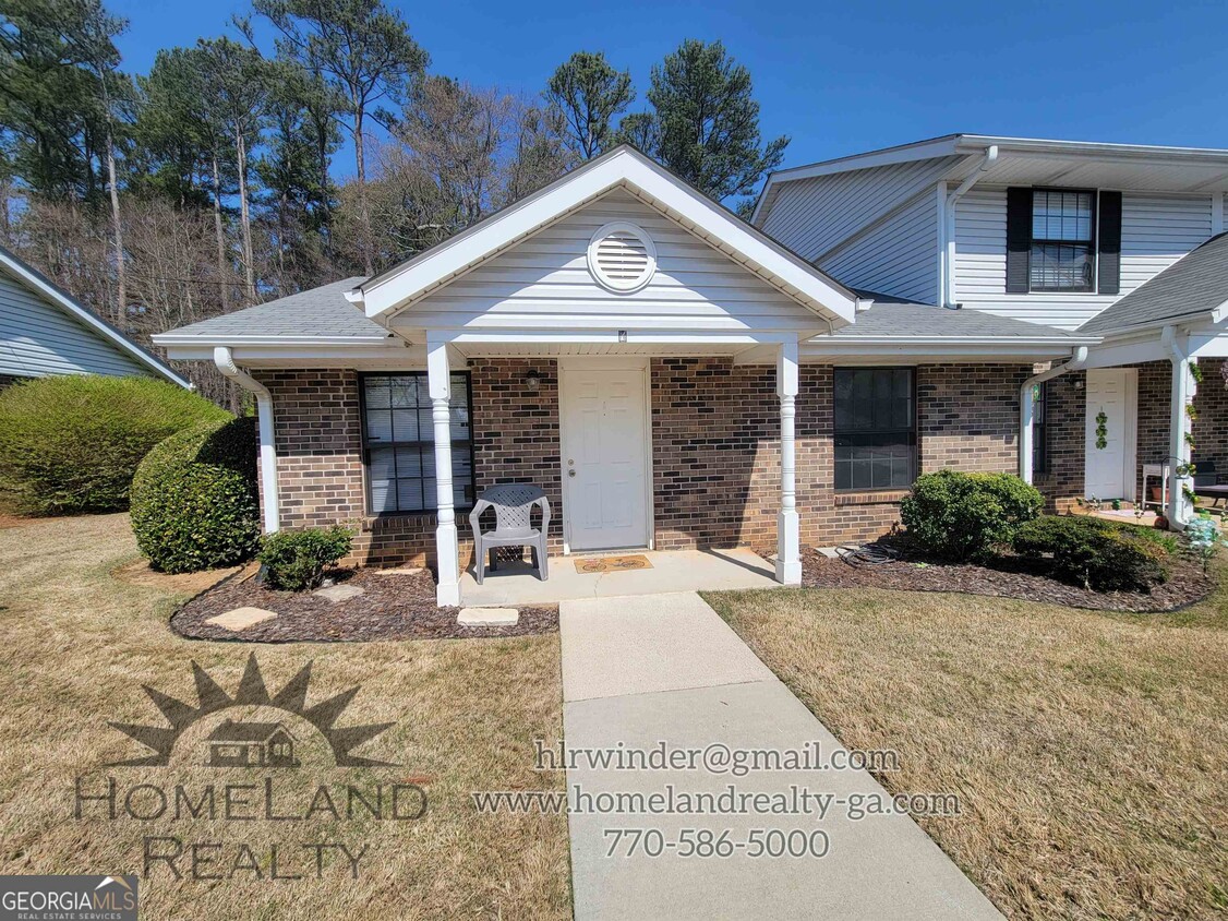
4570 Hwy 53 Unit 7

Favorites
Check Back Soon for Upcoming Availability
| Beds | Baths | Average SF |
|---|---|---|
| 1 Bedroom 1 Bedroom 1 Br | 1 Bath 1 Bath 1 Ba | — |
About This Property
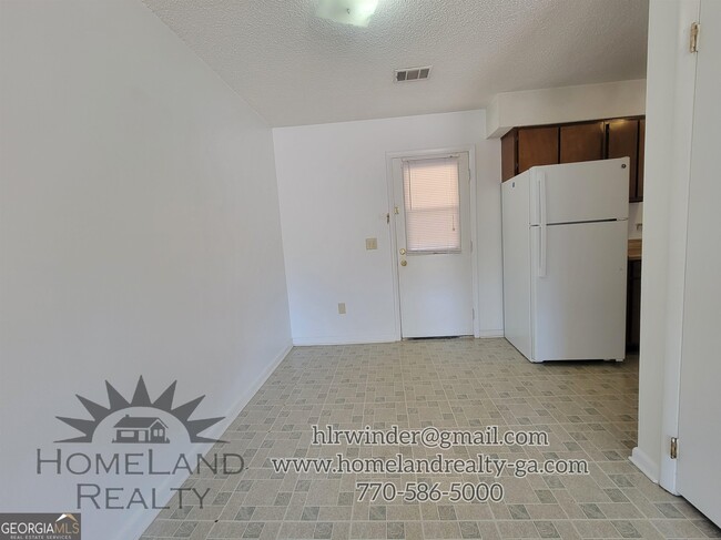
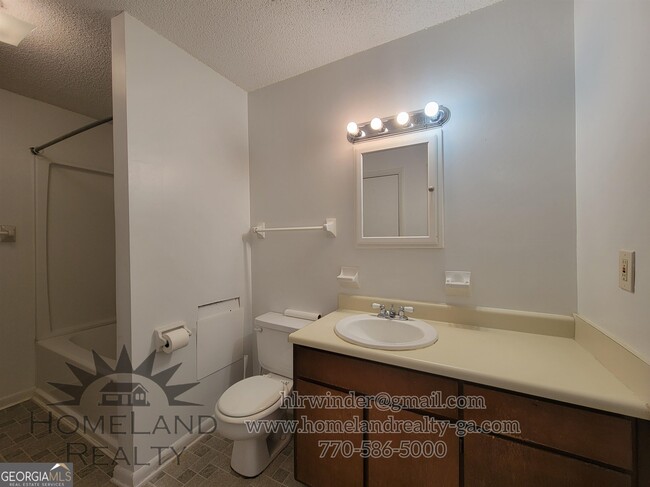
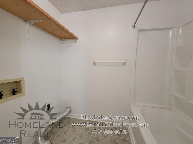
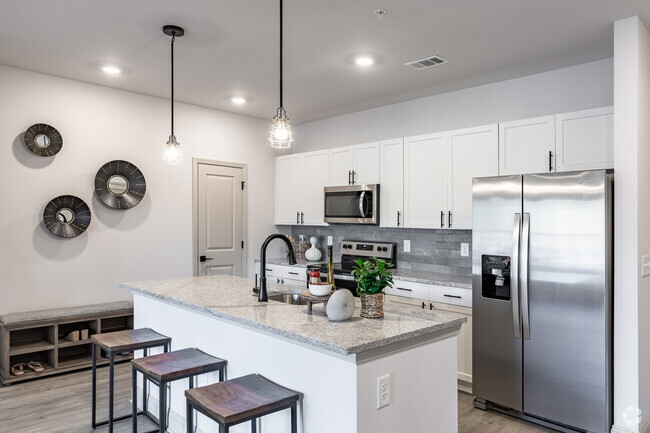
1 bedroom, 1 bathroom unit in West Jackson Villas. Laundry hookups Close to schools and shopping No pets allowed
4570 Hwy 53 is an apartment community located in Jackson County and the 30548 ZIP Code.
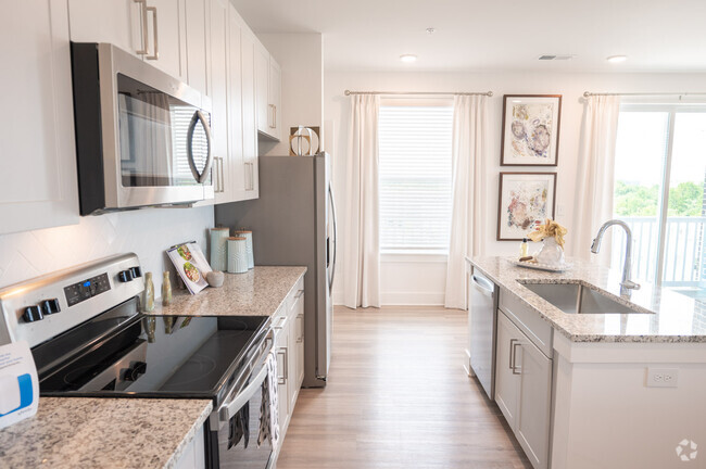
Features
- Range
- Refrigerator
Fees and Policies
Property Address:
4570 Hwy 53,
Hoschton,
GA
30548
The city of Hoschton is a small town in the suburbs of north Georgia with a sense of historic charm. Hoschton is home to Hoschton Historic Train Depot, host to an array of community events. After you find your affordable rental in the city, be sure to grab a bite at Hoschton Café, the best place in town for classic comfort food. Residents enjoy frequenting Hoschton Recreation Park for its athletic fields, wildlife sightings, and open green space.
Though Hoschton is mainly residential, this town is directly south of Braselton, home to the popular Chateau Elan Winery and Resort. Not only is this a well-known hotel in the area, but it also offers a vibrant winery, a scenic golf course, and a luxurious spa. Hoschton is only 15 miles away from Lake Lanier, and 50 miles northeast of Downtown Atlanta.
Learn more about living in Hoschton
Amenities
- Range
- Refrigerator
Education
| Colleges & Universities | Distance | ||
|---|---|---|---|
| Colleges & Universities | Distance | ||
| Drive: | 20 min | 12.9 mi | |
| Drive: | 30 min | 19.5 mi | |
| Drive: | 30 min | 22.9 mi | |
| Drive: | 30 min | 25.0 mi |
4570 Hwy 53 Unit 7 is within 20 minutes or 12.9 miles from University of North Georgia. It is also near Brenau University and Georgia Gwinnett College.
Transportation options available in Hoschton include Doraville, located 36.8 miles from 4570 Hwy 53 Unit 7.
| Transit / Subway | Distance | ||
|---|---|---|---|
| Transit / Subway | Distance | ||
|
|
Drive: | 44 min | 36.8 mi |
|
|
Drive: | 45 min | 38.6 mi |
| Commuter Rail | Distance | ||
|---|---|---|---|
| Commuter Rail | Distance | ||
|
|
Drive: | 27 min | 17.7 mi |
Time and distance from 4570 Hwy 53 Unit 7.
| Shopping Centers | Distance | ||
|---|---|---|---|
| Shopping Centers | Distance | ||
| Walk: | 15 min | 0.8 mi | |
| Drive: | 3 min | 1.1 mi | |
| Drive: | 2 min | 1.2 mi |
4570 Hwy 53 Unit 7 has 3 shopping centers within 1.2 miles, which is about a 2-minute drive. The miles and minutes will be for the farthest away property.
| Parks and Recreation | Distance | ||
|---|---|---|---|
| Parks and Recreation | Distance | ||
|
Little Mulberry Park
|
Drive: | 21 min | 11.8 mi |
|
Fort Yargo State Park
|
Drive: | 21 min | 11.8 mi |
|
Duncan Creek Park
|
Drive: | 15 min | 12.1 mi |
4570 Hwy 53 Unit 7 has 3 parks within 12.1 miles, including Duncan Creek Park, Little Mulberry Park, and Fort Yargo State Park.
| Hospitals | Distance | ||
|---|---|---|---|
| Hospitals | Distance | ||
| Drive: | 12 min | 8.0 mi |
4570 Hwy 53 Unit 7 is 8.0 miles and a 12 minutes drive from Barrow Regional Medical Center.
| Military Bases | Distance | ||
|---|---|---|---|
| Military Bases | Distance | ||
| Drive: | 69 min | 54.2 mi |
4570 Hwy 53 Unit 7 is 54.2 miles and a 69 minutes from Dobbins Air Force Base.
You May Also Like
Similar Rentals Nearby


What Are Walk Score®, Transit Score®, and Bike Score® Ratings?
Walk Score® measures the walkability of any address. Transit Score® measures access to public transit. Bike Score® measures the bikeability of any address.
What is a Sound Score Rating?
A Sound Score Rating aggregates noise caused by vehicle traffic, airplane traffic and local sources
4570 Hwy 53
Hoschton, GA 30548