-
Monthly Rent
$2,850
-
Bedrooms
Studio bd
-
Bathrooms
1 ba
-
Square Feet
386 sq ft
Details

About This Property
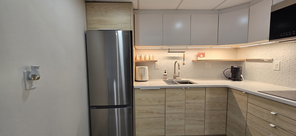
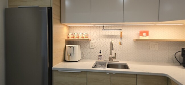
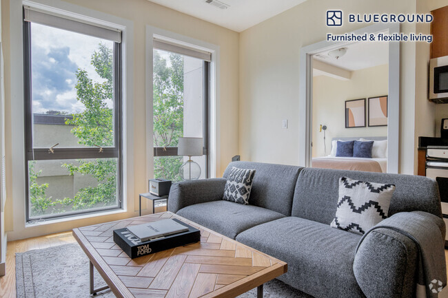
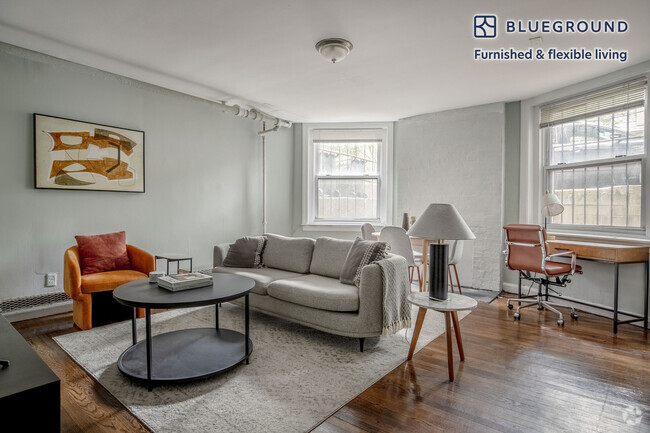
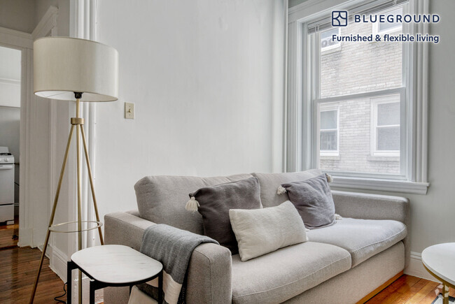
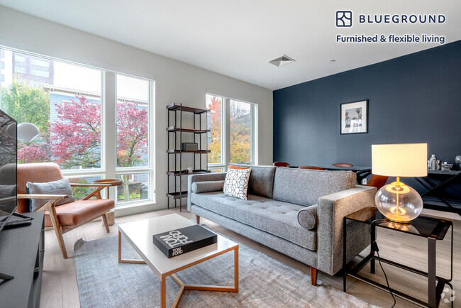
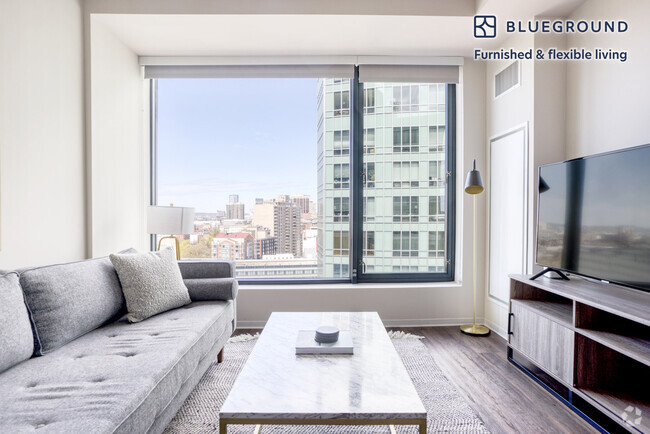
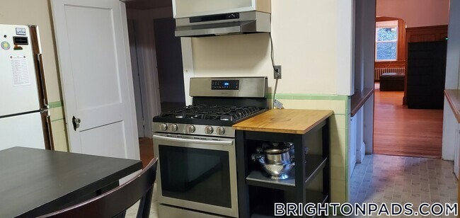
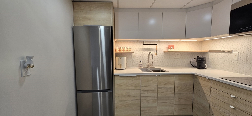
This stunning Eigth Floor Penthouse Studio was renovated in July of 2024 and is ready to occupy! In the heart of Kenmore Square near Boston University,the Green Line and so much more! Gleaming hardwood floors grab you as you enter. High ceilings and classical wainscoating are some of the original features. A brand-new Japandi inspired two-tone eat-in kitchen feels luxurious and modern. The kitchen was designed with smart space-saving ideas in min and features considerable storage. The ktichen includes quartz countertops,a panel-matching Whirlpool dishwasher,stainless steel refrigerator w/ a bottom freezer,garbage disposal,modern microwave with a multitide of settings,a two burner electric cooktop,air fryer and Nespresso. This unit is fully furnished and includes Starry Internet with all utilities,internet,and kitchen utensils and cookware provided. The building has an elevator,is professionally managed with on-site security during the day. Unpack your bags and move-in!
466 Commonwealth Ave is a condo located in Suffolk County and the 02215 ZIP Code.
Discover Homeownership
Renting vs. Buying
-
Housing Cost Per Month: $2,850
-
Rent for 30 YearsRenting doesn't build equity Future EquityRenting isn't tax deductible Mortgage Interest Tax Deduction$0 Net Return
-
Buy Over 30 Years$1.1M - $1.96M Future Equity$509K Mortgage Interest Tax Deduction$74K - $933K Gain Net Return
-
Contact
Condo Features
- Elevator
Fees and Policies
The fees below are based on community-supplied data and may exclude additional fees and utilities.
 This Property
 Available Property
- Elevator
Tree-filled, historic, and packed with educational opportunity, there's no other neighborhood quite like Fenway. The neighborhood may be most well-known for its titular attraction, Fenway Park, home of the Boston Red Sox. However, the area is also renowned for its sprawling greenspace. The name "Fenway" refers to the neighborhood’s lush parkway and tree-filled paths that wind lazily through the area, forming part of Frederick Law Olmsted’s “Emerald Necklace Plan” (a chain of parks throughout Boston). The Fenway opened in 1876, and its route includes the Museum of Fine Arts and the Isabella Steward Gardner Museum.
Learn more about living in Fenway| Colleges & Universities | Distance | ||
|---|---|---|---|
| Colleges & Universities | Distance | ||
| Walk: | 6 min | 0.4 mi | |
| Walk: | 9 min | 0.5 mi | |
| Drive: | 3 min | 1.3 mi | |
| Drive: | 4 min | 1.3 mi |
Transportation options available in Boston include Kenmore Station, located 0.2 mile from 466 Commonwealth Ave Unit 807. 466 Commonwealth Ave Unit 807 is near General Edward Lawrence Logan International, located 5.9 miles or 13 minutes away.
| Transit / Subway | Distance | ||
|---|---|---|---|
| Transit / Subway | Distance | ||
|
|
Walk: | 3 min | 0.2 mi |
|
|
Walk: | 6 min | 0.3 mi |
|
|
Walk: | 8 min | 0.4 mi |
|
|
Walk: | 11 min | 0.6 mi |
|
|
Drive: | 4 min | 1.2 mi |
| Commuter Rail | Distance | ||
|---|---|---|---|
| Commuter Rail | Distance | ||
|
|
Drive: | 3 min | 1.2 mi |
|
|
Drive: | 7 min | 1.6 mi |
|
|
Drive: | 8 min | 2.4 mi |
|
|
Drive: | 8 min | 2.8 mi |
|
|
Drive: | 7 min | 3.7 mi |
| Airports | Distance | ||
|---|---|---|---|
| Airports | Distance | ||
|
General Edward Lawrence Logan International
|
Drive: | 13 min | 5.9 mi |
Time and distance from 466 Commonwealth Ave Unit 807.
| Shopping Centers | Distance | ||
|---|---|---|---|
| Shopping Centers | Distance | ||
| Walk: | 4 min | 0.2 mi | |
| Drive: | 8 min | 4.7 mi | |
| Drive: | 9 min | 4.9 mi |
| Parks and Recreation | Distance | ||
|---|---|---|---|
| Parks and Recreation | Distance | ||
|
Charles River Reservation
|
Walk: | 11 min | 0.6 mi |
|
Coit Observatory
|
Walk: | 17 min | 0.9 mi |
|
Boston Public Garden
|
Drive: | 6 min | 1.9 mi |
|
John Fitzgerald Kennedy National Historic Site
|
Drive: | 4 min | 2.0 mi |
|
Roxbury Heritage State Park
|
Drive: | 6 min | 2.7 mi |
| Hospitals | Distance | ||
|---|---|---|---|
| Hospitals | Distance | ||
| Walk: | 18 min | 0.9 mi | |
| Drive: | 3 min | 1.2 mi | |
| Drive: | 3 min | 1.7 mi |
| Military Bases | Distance | ||
|---|---|---|---|
| Military Bases | Distance | ||
| Drive: | 28 min | 14.7 mi | |
| Drive: | 28 min | 15.9 mi |
You May Also Like
Similar Rentals Nearby
What Are Walk Score®, Transit Score®, and Bike Score® Ratings?
Walk Score® measures the walkability of any address. Transit Score® measures access to public transit. Bike Score® measures the bikeability of any address.
What is a Sound Score Rating?
A Sound Score Rating aggregates noise caused by vehicle traffic, airplane traffic and local sources
