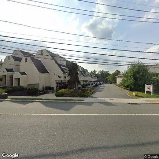
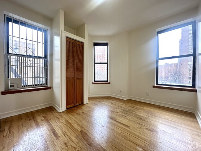
466 Pompton Ave
Cedar Grove, NJ 07009
Favorites

466 Pompton Ave
Favorites
Check Back Soon for Upcoming Availability
Property Address:
466 Pompton Ave,
Cedar Grove,
NJ
07009
 This Property
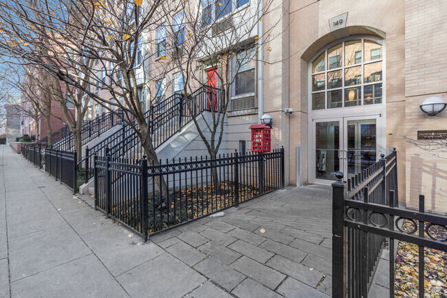
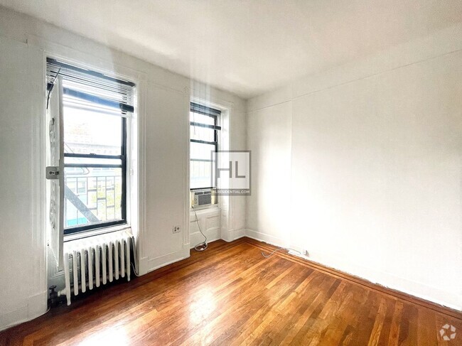
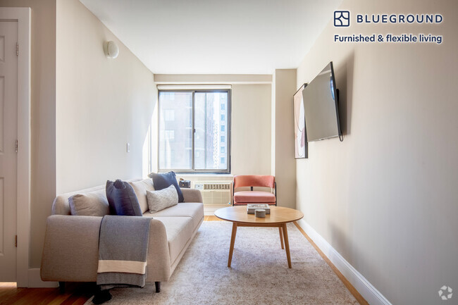
 Available Property
Located about 20 miles northwest of New York City, Cedar Grove provides residents with a tranquil small-town atmosphere in Essex County. Pompton Avenue is Cedar Grove’s main commercial thoroughfare, where a bevy of quaint shops and diverse restaurants sit along a tree-lined street.
Several parks offer plenty of options for outdoor recreation in Cedar Grove, including the expansive Mills Reservation County Park, Hilltop Reservation, and Cedar Grove Community Park. Cedar Grove is also within minutes of Verona Park, Eagle Rock Reservation, and Brookdale Park. Quick access to numerous NJ Transit rail stations and major highways affords residents easy commutes and travels from Cedar Grove.
Learn more about living in Cedar Grove
Education
| Colleges & Universities | Distance | ||
|---|---|---|---|
| Colleges & Universities | Distance | ||
| Drive: | 7 min | 2.6 mi | |
| Drive: | 8 min | 4.3 mi | |
| Drive: | 8 min | 4.6 mi | |
| Drive: | 11 min | 6.2 mi |
466 Pompton Ave is within 7 minutes or 2.6 miles from Montclair State University. It is also near Caldwell College and Bloomfield College.
Transportation options available in Cedar Grove include Grove Street, located 5.8 miles from 466 Pompton Ave. 466 Pompton Ave is near Newark Liberty International, located 14.4 miles or 24 minutes away, and Laguardia, located 31.4 miles or 45 minutes away.
| Transit / Subway | Distance | ||
|---|---|---|---|
| Transit / Subway | Distance | ||
|
|
Drive: | 10 min | 5.8 mi |
|
|
Drive: | 12 min | 6.2 mi |
|
|
Drive: | 12 min | 6.4 mi |
|
|
Drive: | 12 min | 6.5 mi |
|
|
Drive: | 11 min | 6.7 mi |
| Commuter Rail | Distance | ||
|---|---|---|---|
| Commuter Rail | Distance | ||
|
|
Drive: | 4 min | 1.6 mi |
|
|
Drive: | 5 min | 1.9 mi |
|
|
Drive: | 5 min | 2.0 mi |
|
|
Drive: | 4 min | 2.5 mi |
|
|
Drive: | 6 min | 2.6 mi |
| Airports | Distance | ||
|---|---|---|---|
| Airports | Distance | ||
|
Newark Liberty International
|
Drive: | 24 min | 14.4 mi |
|
Laguardia
|
Drive: | 45 min | 31.4 mi |
Time and distance from 466 Pompton Ave.
| Shopping Centers | Distance | ||
|---|---|---|---|
| Shopping Centers | Distance | ||
| Walk: | 2 min | 0.0 mi | |
| Walk: | 4 min | 0.2 mi | |
| Walk: | 7 min | 0.4 mi |
466 Pompton Ave has 3 shopping centers within 0.4 mile, which is about a 7-minute walk. The miles and minutes will be for the farthest away property.
| Parks and Recreation | Distance | ||
|---|---|---|---|
| Parks and Recreation | Distance | ||
|
Presby Memorial Iris Gardens
|
Drive: | 4 min | 1.8 mi |
|
Van Vleck House & Gardens
|
Drive: | 4 min | 2.5 mi |
|
Edison National Historic Site
|
Drive: | 12 min | 6.3 mi |
|
Fairfield Farm
|
Drive: | 14 min | 7.9 mi |
|
NJ Audubon Essex County Environmental Center
|
Drive: | 14 min | 8.3 mi |
466 Pompton Ave has 5 parks within 8.3 miles, including Presby Memorial Iris Gardens, Van Vleck House & Gardens, and Edison National Historic Site.
| Hospitals | Distance | ||
|---|---|---|---|
| Hospitals | Distance | ||
| Drive: | 11 min | 5.8 mi | |
| Drive: | 13 min | 7.3 mi | |
| Drive: | 13 min | 7.7 mi |
466 Pompton Ave has 3 hospitals within 7.7 miles, the nearest is St. Joseph's Hospital and Medical Center which is 5.8 miles away and a 11 minutes drive.
| Military Bases | Distance | ||
|---|---|---|---|
| Military Bases | Distance | ||
| Drive: | 29 min | 18.2 mi | |
| Drive: | 36 min | 20.9 mi | |
| Drive: | 36 min | 23.2 mi |
466 Pompton Ave has 3 military bases within 23.2 miles, the nearest is Military Ocean Terminal which is 18.2 miles away and a 29 minutes .
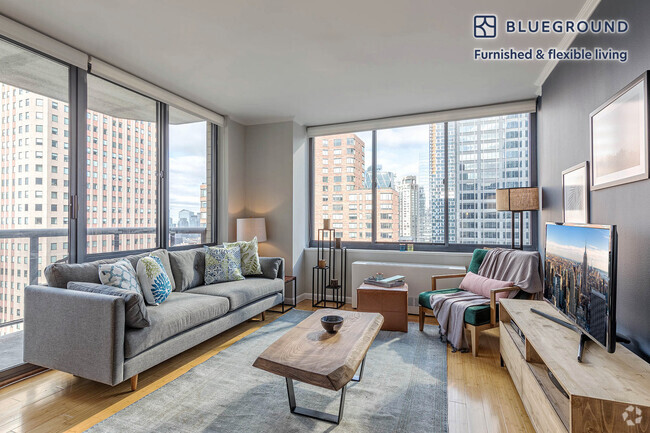
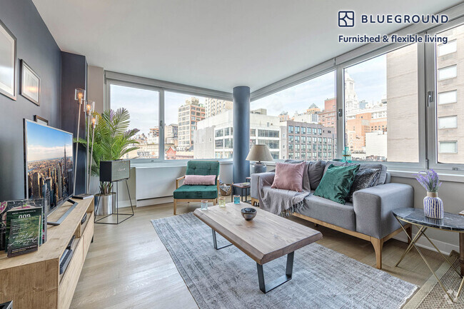
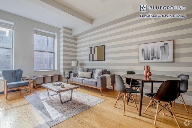
You May Also Like
Similar Rentals Nearby


What Are Walk Score®, Transit Score®, and Bike Score® Ratings?
Walk Score® measures the walkability of any address. Transit Score® measures access to public transit. Bike Score® measures the bikeability of any address.
What is a Sound Score Rating?
A Sound Score Rating aggregates noise caused by vehicle traffic, airplane traffic and local sources