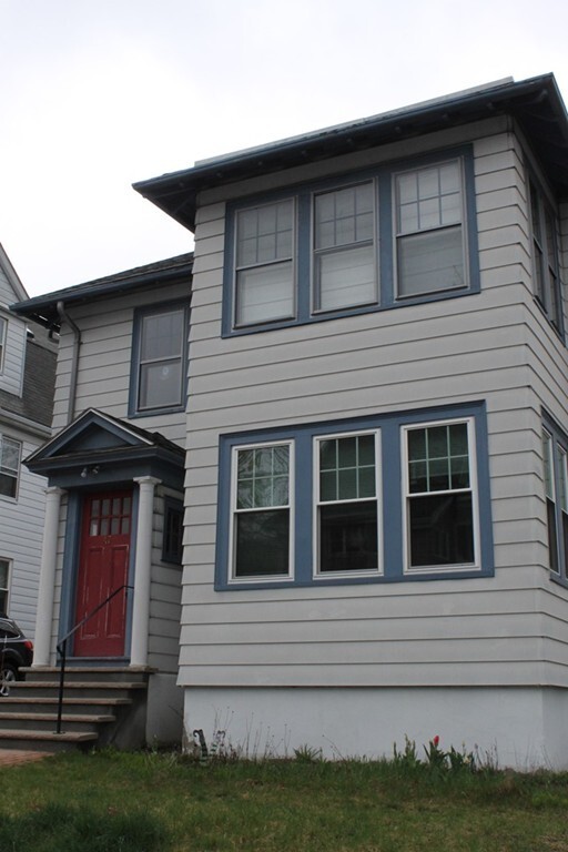
47 Berwick St Unit 2
Belmont, MA 02478
-
Bedrooms
2
-
Bathrooms
1
-
Square Feet
1,366 sq ft
-
Available
Available Now

47 Berwick St is an apartment community located in Middlesex County and the 02478 ZIP Code. This area is served by the Belmont attendance zone.
Apartment Features
- Instalaciones de lavandería
Fees and Policies
The fees below are based on community-supplied data and may exclude additional fees and utilities.
- Parking
-
Garage--
Details
Property Information
-
4 units
Contact
- Contact
Cushing Square is a cozy and historic neighborhood in the western Boston suburb of Belmont. With its large houses and dense canopy of trees shading the sidewalks, Cushing Square gives off a distinctly suburban vibe, amplified by the abundance of large parks and golf courses surrounding the community. A small cluster of storefront businesses at the intersection of Trapelo Road and Common Street provides residents with a one-stop shopping and dining destination close to home, featuring everything from a hardware store to a yoga studio to a Greek diner and everything in between.
Burbank Elementary School and WL Chenery Middle School are both within easy walking distance of anywhere in the neighborhood, giving local students the option of walking to class. The neighborhood’s location offers prime access to both Harvard and Tufts, with all of Boston just minutes away.
Learn more about living in Cushing Square| Colleges & Universities | Distance | ||
|---|---|---|---|
| Colleges & Universities | Distance | ||
| Drive: | 5 min | 2.4 mi | |
| Drive: | 7 min | 3.0 mi | |
| Drive: | 7 min | 3.3 mi | |
| Drive: | 9 min | 3.3 mi |


View GreatSchools Rating Methodology
Transportation options available in Belmont include Alewife Station, located 2.6 miles from 47 Berwick St Unit 2. 47 Berwick St Unit 2 is near General Edward Lawrence Logan International, located 10.6 miles or 19 minutes away.
| Transit / Subway | Distance | ||
|---|---|---|---|
| Transit / Subway | Distance | ||
|
|
Drive: | 6 min | 2.6 mi |
|
|
Drive: | 7 min | 2.9 mi |
|
|
Drive: | 6 min | 2.9 mi |
|
|
Drive: | 8 min | 3.1 mi |
|
|
Drive: | 7 min | 3.3 mi |
| Commuter Rail | Distance | ||
|---|---|---|---|
| Commuter Rail | Distance | ||
|
|
Drive: | 4 min | 2.0 mi |
|
|
Drive: | 4 min | 2.0 mi |
|
|
Drive: | 7 min | 3.3 mi |
|
|
Drive: | 7 min | 3.6 mi |
| Drive: | 10 min | 5.2 mi |
| Airports | Distance | ||
|---|---|---|---|
| Airports | Distance | ||
|
General Edward Lawrence Logan International
|
Drive: | 19 min | 10.6 mi |
Time and distance from 47 Berwick St Unit 2.
| Shopping Centers | Distance | ||
|---|---|---|---|
| Shopping Centers | Distance | ||
| Walk: | 15 min | 0.8 mi | |
| Walk: | 20 min | 1.1 mi | |
| Drive: | 3 min | 1.2 mi |
| Parks and Recreation | Distance | ||
|---|---|---|---|
| Parks and Recreation | Distance | ||
|
Longfellow National Historic Site
|
Drive: | 4 min | 1.9 mi |
|
Harvard-Smithsonian Center for Astrophysics
|
Drive: | 5 min | 2.1 mi |
|
Beaver Brook Reservation
|
Drive: | 6 min | 2.7 mi |
|
Mineralogical and Geological Museum
|
Drive: | 7 min | 3.0 mi |
|
Harvard Museum of Natural History
|
Drive: | 7 min | 3.0 mi |
| Hospitals | Distance | ||
|---|---|---|---|
| Hospitals | Distance | ||
| Drive: | 3 min | 1.5 mi | |
| Drive: | 5 min | 2.6 mi | |
| Drive: | 6 min | 2.6 mi |
| Military Bases | Distance | ||
|---|---|---|---|
| Military Bases | Distance | ||
| Drive: | 20 min | 9.8 mi | |
| Drive: | 26 min | 14.5 mi |
- Instalaciones de lavandería
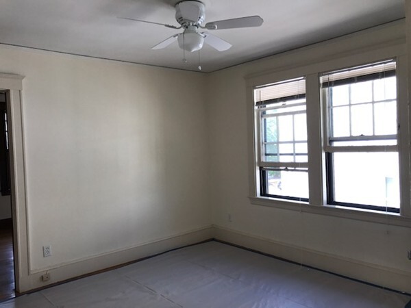
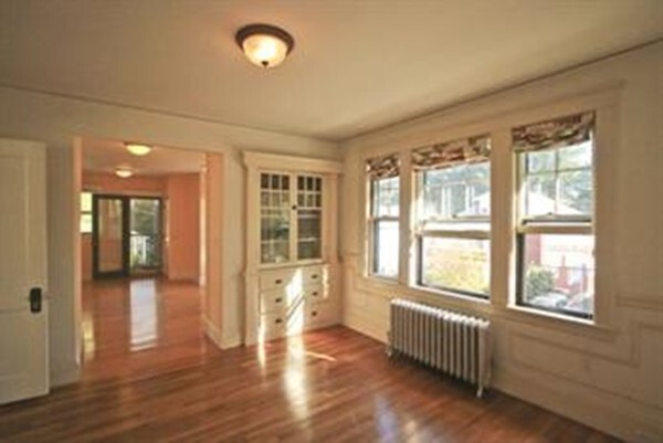
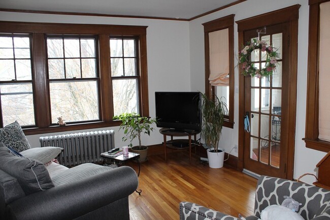
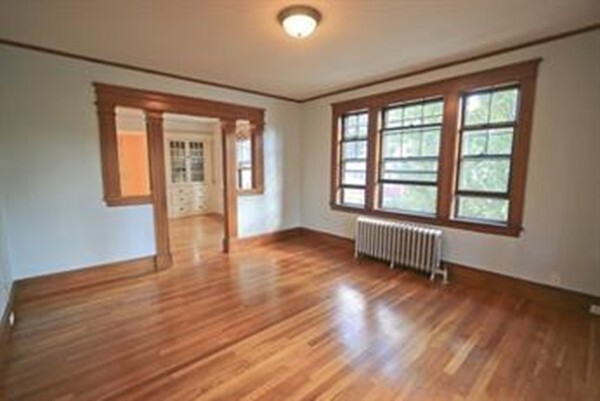
47 Berwick St Unit 2 Photos
What Are Walk Score®, Transit Score®, and Bike Score® Ratings?
Walk Score® measures the walkability of any address. Transit Score® measures access to public transit. Bike Score® measures the bikeability of any address.
What is a Sound Score Rating?
A Sound Score Rating aggregates noise caused by vehicle traffic, airplane traffic and local sources

47 Berwick St
Belmont, MA 02478