

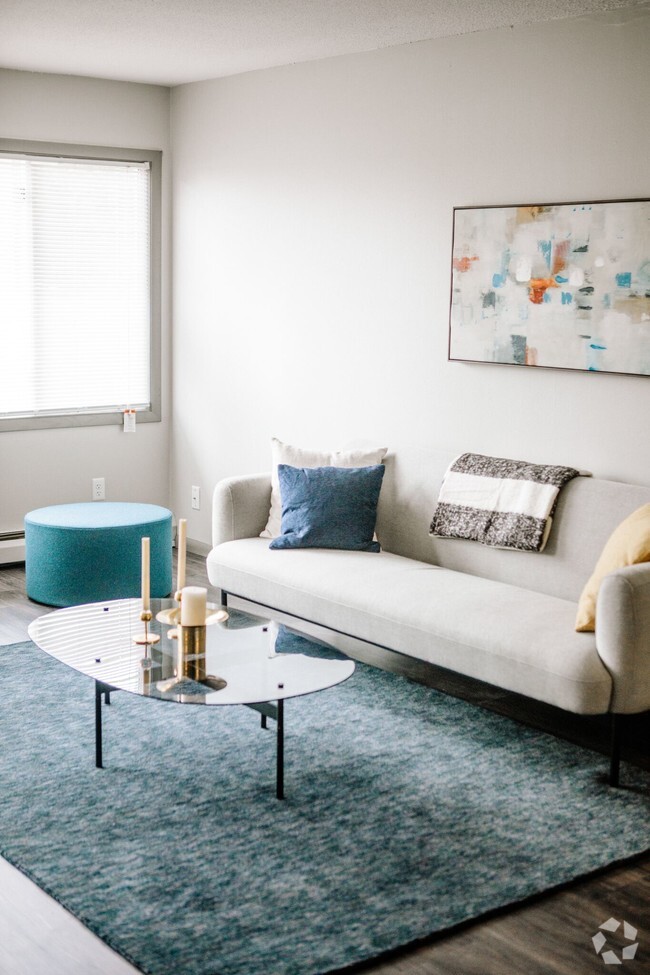
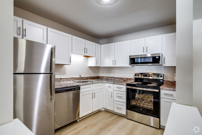
$888 / Month
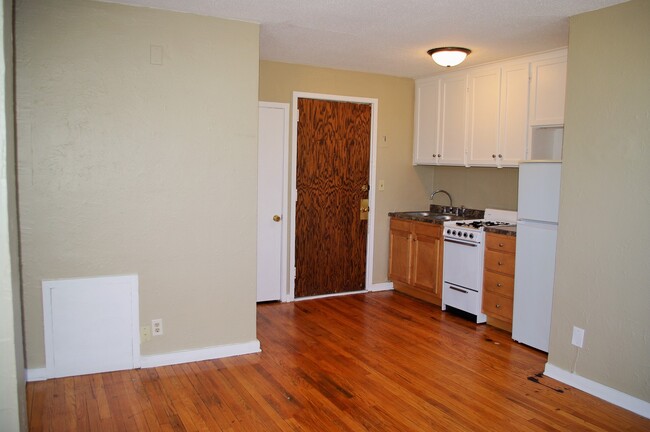
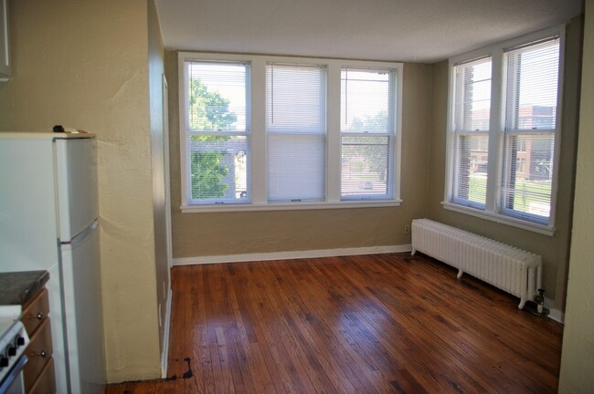
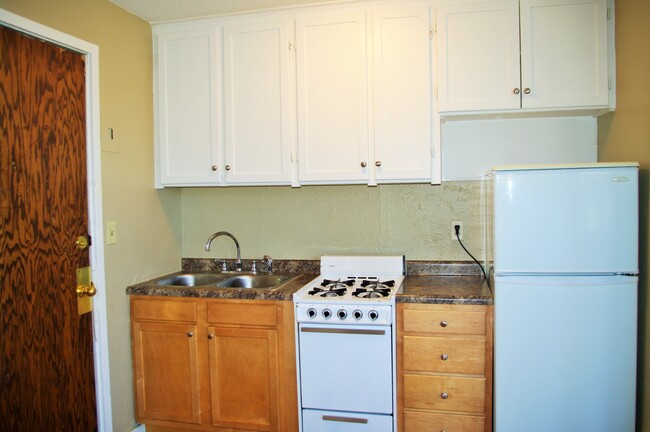
478 Herschel St Unit #3
Saint Paul, MN 55104
Today
Favorites
952-452-9254
-
Bedrooms
1
-
Bathrooms
1
-
Square Feet
330 sq ft
-
Available
Available Now
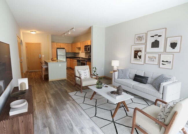
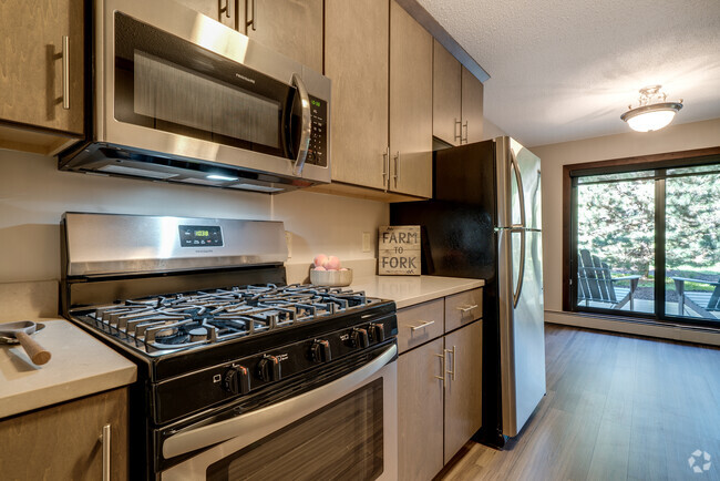
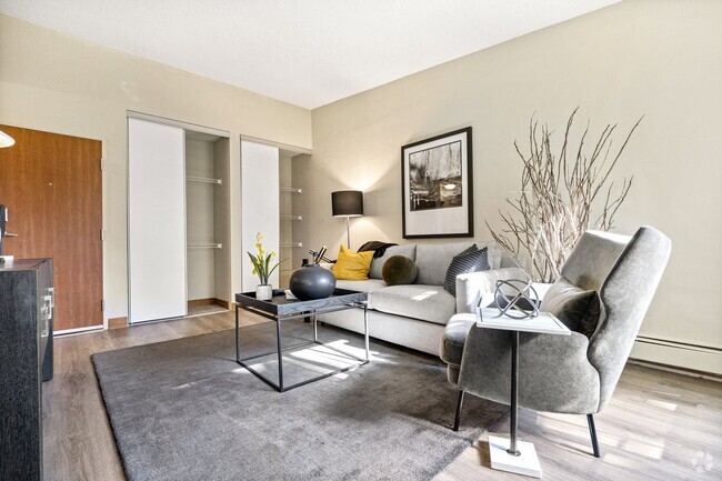
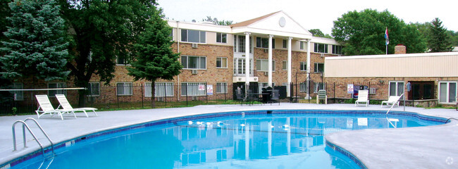
478 Herschel St Unit #3

Favorites
Apartments and condos in classic brick buildings welcome renters to the Merriam Park East neighborhood of Saint Paul. With the University of Minnesota just beyond Merriam Park East's borders, this community is popular with students and faculty. Interstate 94 cuts conveniently through the neighborhood, connecting residents to Minneapolis, two miles to the west, or Saint Paul, two miles to the east.
Residents of Merriam Park East find abundant shopping opportunities at local malls and up and down Marshall Boulevard, while the Town and Country Club to the west beckons golfers. The winding Mississippi River, less than a mile away, provides beautiful walking and jogging opportunities.
Learn more about living in Merriam Park East
Education
| Colleges & Universities | Distance | ||
|---|---|---|---|
| Colleges & Universities | Distance | ||
| Drive: | 2 min | 1.3 mi | |
| Drive: | 4 min | 1.4 mi | |
| Drive: | 3 min | 1.6 mi | |
| Drive: | 4 min | 1.9 mi |
478 Herschel St Unit #3 is within 4 minutes or 1.4 miles from Hamline University. It is also near Concordia Univ.-Saint Paul and Macalester College.
Transportation options available in Saint Paul include Snelling Ave Station, located 0.3 mile from 478 Herschel St Unit #3. 478 Herschel St Unit #3 is near Minneapolis-St Paul International/Wold-Chamberlain, located 7.9 miles or 16 minutes away.
| Transit / Subway | Distance | ||
|---|---|---|---|
| Transit / Subway | Distance | ||
| Walk: | 5 min | 0.3 mi | |
| Walk: | 6 min | 0.3 mi | |
| Walk: | 15 min | 0.8 mi | |
| Drive: | 2 min | 1.3 mi | |
| Drive: | 4 min | 1.6 mi |
| Commuter Rail | Distance | ||
|---|---|---|---|
| Commuter Rail | Distance | ||
|
|
Drive: | 9 min | 5.1 mi |
|
|
Drive: | 14 min | 7.1 mi |
|
|
Drive: | 23 min | 15.7 mi |
|
|
Drive: | 32 min | 24.5 mi |
|
|
Drive: | 34 min | 26.1 mi |
| Airports | Distance | ||
|---|---|---|---|
| Airports | Distance | ||
|
Minneapolis-St Paul International/Wold-Chamberlain
|
Drive: | 16 min | 7.9 mi |
Time and distance from 478 Herschel St Unit #3.
| Shopping Centers | Distance | ||
|---|---|---|---|
| Shopping Centers | Distance | ||
| Walk: | 10 min | 0.5 mi | |
| Walk: | 16 min | 0.8 mi | |
| Drive: | 3 min | 1.6 mi |
478 Herschel St Unit #3 has 3 shopping centers within 1.6 miles, which is about a 3-minute walk. The miles and minutes will be for the farthest away property.
| Parks and Recreation | Distance | ||
|---|---|---|---|
| Parks and Recreation | Distance | ||
|
Newell Park
|
Drive: | 3 min | 1.2 mi |
|
Macalester College Observatory
|
Drive: | 3 min | 1.6 mi |
|
Como Park
|
Drive: | 6 min | 2.7 mi |
|
Marjorie McNeely Conservatory
|
Drive: | 7 min | 3.0 mi |
|
The Raptor Center - University of Minnesota
|
Drive: | 9 min | 3.2 mi |
478 Herschel St Unit #3 has 5 parks within 3.2 miles, including Newell Park, Macalester College Observatory, and Como Park.
| Hospitals | Distance | ||
|---|---|---|---|
| Hospitals | Distance | ||
| Drive: | 7 min | 3.8 mi | |
| Drive: | 7 min | 3.9 mi | |
| Drive: | 7 min | 4.5 mi |
478 Herschel St Unit #3 has 3 hospitals within 4.5 miles, the nearest is Regions Hospital which is 3.8 miles away and a 7 minute drive.
| Military Bases | Distance | ||
|---|---|---|---|
| Military Bases | Distance | ||
| Drive: | 15 min | 6.6 mi |
478 Herschel St Unit #3 is 6.6 miles and a 15 minute drive from Fort Snelling Military Reservation.
You May Also Like
Similar Rentals Nearby


What Are Walk Score®, Transit Score®, and Bike Score® Ratings?
Walk Score® measures the walkability of any address. Transit Score® measures access to public transit. Bike Score® measures the bikeability of any address.
What is a Sound Score Rating?
A Sound Score Rating aggregates noise caused by vehicle traffic, airplane traffic and local sources
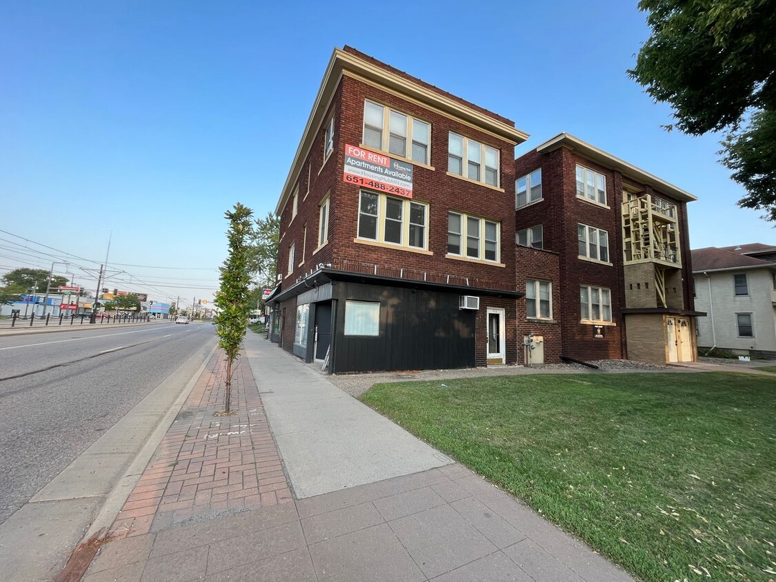
478 Herschel St
Saint Paul, MN 55104