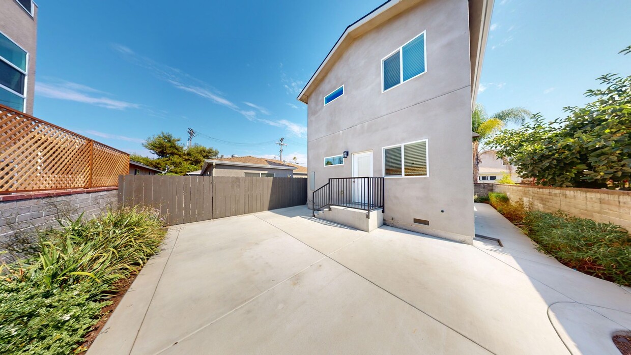
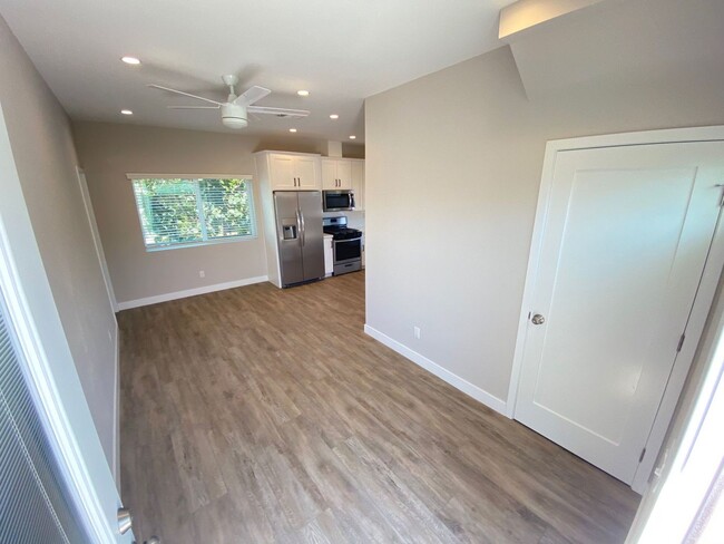
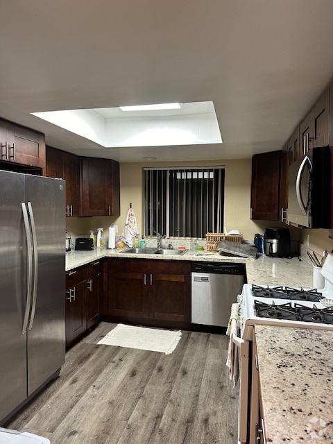
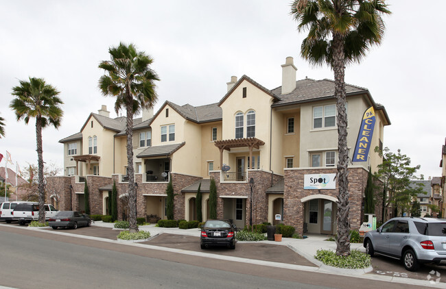
4788-4790 63rd St
San Diego, CA 92115
-
Bedrooms
4
-
Bathrooms
2
-
Square Feet
1,200 sq ft
-
Available
Available Aug 2

Contact
- Listed by Virtuosic Properties, Inc. | Virtuosic Properties, Inc.
- Phone Number
- Contact
College East is, as the name implies, located on the east side of San Diego State University. This popular neighborhood not only provides fast access to SDSU, but also to nearby Lake Murray, which is to the northeast of College East. Students can either walk to class or take the trolley, which has a station at the Alvarado Medical Center.
While College East is very popular with students, the neighborhood has good schools and easy access to I-8, making it great for families and commuters. Downtown San Diego is only about eight miles southwest of College East, so residents can quickly enjoy the city’s amenities and attractions. El Cajon Boulevard, which extends along the south side of the neighborhood, is lined with shops and restaurants. Popular destinations include Tokyo Sushi Loha, Dirty Birds College Area, and the Ugly Dog Pub.
Learn more about living in College East| Colleges & Universities | Distance | ||
|---|---|---|---|
| Colleges & Universities | Distance | ||
| Drive: | 9 min | 1.9 mi | |
| Drive: | 12 min | 5.9 mi | |
| Drive: | 13 min | 6.7 mi | |
| Drive: | 12 min | 7.1 mi |
 The GreatSchools Rating helps parents compare schools within a state based on a variety of school quality indicators and provides a helpful picture of how effectively each school serves all of its students. Ratings are on a scale of 1 (below average) to 10 (above average) and can include test scores, college readiness, academic progress, advanced courses, equity, discipline and attendance data. We also advise parents to visit schools, consider other information on school performance and programs, and consider family needs as part of the school selection process.
View GreatSchools Rating Methodology
Transportation options available in San Diego include Sdsu Transit Center, located 0.9 mile from 4788-4790 63rd St. 4788-4790 63rd St is near San Diego International, located 8.4 miles or 17 minutes away.
| Transit / Subway | Distance | ||
|---|---|---|---|
| Transit / Subway | Distance | ||
|
|
Walk: | 16 min | 0.9 mi |
|
|
Drive: | 4 min | 1.7 mi |
|
|
Drive: | 4 min | 1.9 mi |
|
|
Drive: | 6 min | 3.2 mi |
|
|
Drive: | 8 min | 4.0 mi |
| Commuter Rail | Distance | ||
|---|---|---|---|
| Commuter Rail | Distance | ||
|
|
Drive: | 15 min | 9.2 mi |
|
|
Drive: | 16 min | 9.6 mi |
|
|
Drive: | 23 min | 16.7 mi |
|
|
Drive: | 32 min | 23.7 mi |
|
|
Drive: | 35 min | 27.4 mi |
| Airports | Distance | ||
|---|---|---|---|
| Airports | Distance | ||
|
San Diego International
|
Drive: | 17 min | 8.4 mi |
Time and distance from 4788-4790 63rd St.
| Shopping Centers | Distance | ||
|---|---|---|---|
| Shopping Centers | Distance | ||
| Walk: | 2 min | 0.1 mi | |
| Walk: | 4 min | 0.2 mi | |
| Walk: | 7 min | 0.4 mi |
| Parks and Recreation | Distance | ||
|---|---|---|---|
| Parks and Recreation | Distance | ||
|
Chollas Lake Park
|
Drive: | 11 min | 3.7 mi |
|
Eucalyptus County Park
|
Drive: | 9 min | 4.6 mi |
|
Lamar County Park
|
Drive: | 10 min | 5.3 mi |
|
Mission Trails Regional Park
|
Drive: | 13 min | 5.9 mi |
|
Mt. Helix Park
|
Drive: | 12 min | 6.2 mi |
| Hospitals | Distance | ||
|---|---|---|---|
| Hospitals | Distance | ||
| Walk: | 21 min | 1.1 mi | |
| Drive: | 3 min | 1.6 mi | |
| Drive: | 6 min | 4.0 mi |
| Military Bases | Distance | ||
|---|---|---|---|
| Military Bases | Distance | ||
| Drive: | 14 min | 9.2 mi |
You May Also Like
Similar Rentals Nearby
-
-
-
-
-
$8,6004 Beds, 3.5 Baths, 1,853 sq ftTownhome for Rent
-
-
-
-
-
$4,0004 Beds, 2.5 Baths, 1,763 sq ftTownhome for Rent
What Are Walk Score®, Transit Score®, and Bike Score® Ratings?
Walk Score® measures the walkability of any address. Transit Score® measures access to public transit. Bike Score® measures the bikeability of any address.
What is a Sound Score Rating?
A Sound Score Rating aggregates noise caused by vehicle traffic, airplane traffic and local sources
