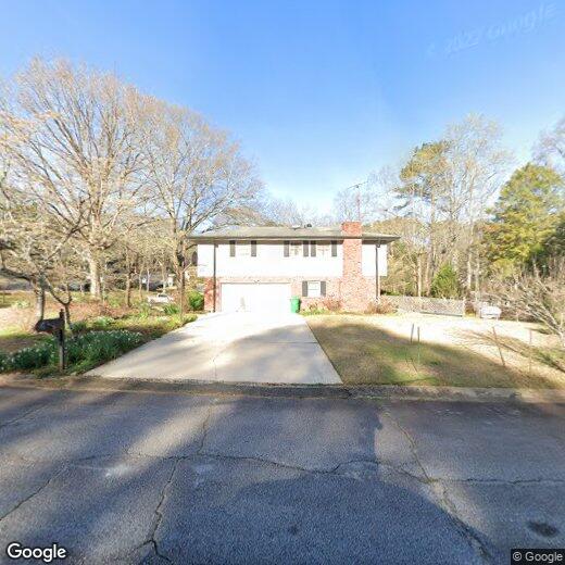

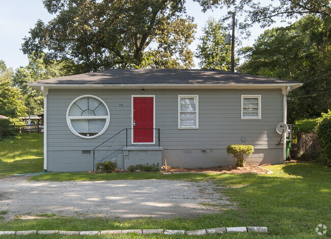
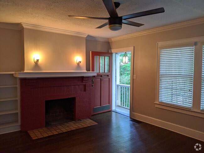
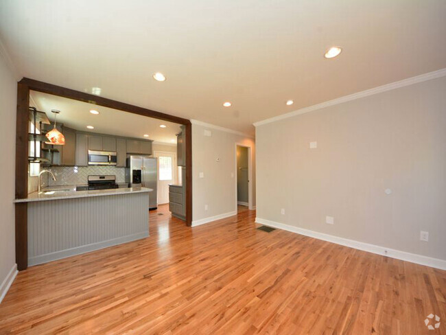
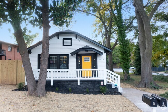
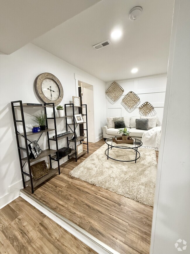
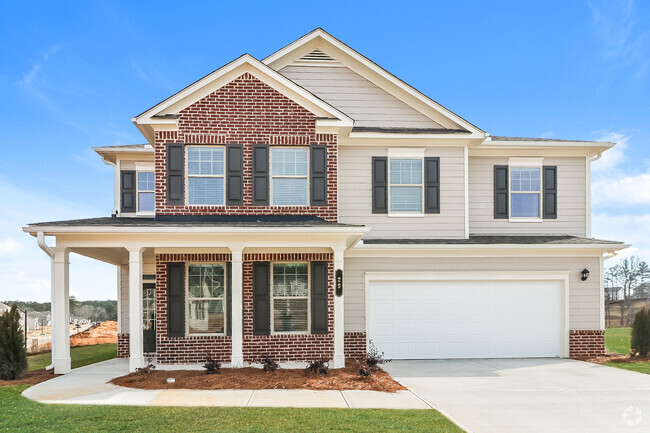
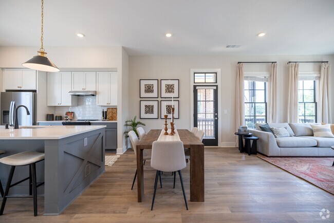
4788 Darlene Way
4788 Darlene Way
Tucker, GA 30084
2 Weeks Ago
Favorites
4788 Darlene Way

Favorites
Check Back Soon for Upcoming Availability
Location
Get Directions
Nestled 15 miles northeast of Downtown Atlanta in the suburbs, the city of Tucker prides itself on its supportive community, welcoming environment, and amenities. Many small businesses, including services, restaurants, and shops, make this part of town so unique and charming. A part of DeKalb County, this town believes in community organizations, seasonal festivals, and commercial development.
Locals look forward to the many city events that happen in the square along Main Street, including Tucker Days and the Taste of Tucker. Henderson Park is a place where residents can enjoy a large green space, playground, and sports field. And if you’re a history buff, hiker, or lover of the outdoors, you’ll be happy to hear that Tucker is just north of Stone Mountain Park, one of Georgia’s most popular attractions. In fact, this historic site is the most visited destination in the state, and it’s a stone’s throw from town.
Learn more about living in Tucker
Education
| Colleges & Universities | Distance | ||
|---|---|---|---|
| Colleges & Universities | Distance | ||
| Drive: | 16 min | 7.0 mi | |
| Drive: | 17 min | 9.6 mi | |
| Drive: | 20 min | 11.8 mi | |
| Drive: | 22 min | 12.2 mi |
4788 Darlene Way is within 16 minutes or 7.0 miles from Georgia Perim., Clarkston. It is also near Emory University, Clairmont and Oglethorpe University.
Transportation options available in Tucker include Doraville, located 8.5 miles from 4788 Darlene Way. 4788 Darlene Way is near Hartsfield - Jackson Atlanta International, located 26.5 miles or 39 minutes away.
| Transit / Subway | Distance | ||
|---|---|---|---|
| Transit / Subway | Distance | ||
|
|
Drive: | 16 min | 8.5 mi |
|
|
Drive: | 15 min | 9.0 mi |
|
|
Drive: | 17 min | 9.0 mi |
|
|
Drive: | 17 min | 10.2 mi |
|
|
Drive: | 18 min | 11.6 mi |
| Commuter Rail | Distance | ||
|---|---|---|---|
| Commuter Rail | Distance | ||
|
|
Drive: | 26 min | 14.1 mi |
| Airports | Distance | ||
|---|---|---|---|
| Airports | Distance | ||
|
Hartsfield - Jackson Atlanta International
|
Drive: | 39 min | 26.5 mi |
Time and distance from 4788 Darlene Way.
| Shopping Centers | Distance | ||
|---|---|---|---|
| Shopping Centers | Distance | ||
| Walk: | 12 min | 0.6 mi | |
| Walk: | 13 min | 0.7 mi | |
| Walk: | 18 min | 0.9 mi |
4788 Darlene Way has 3 shopping centers within 0.9 mile, which is about a 18-minute walk. The miles and minutes will be for the farthest away property.
| Parks and Recreation | Distance | ||
|---|---|---|---|
| Parks and Recreation | Distance | ||
|
Lucky Shoals Park
|
Drive: | 7 min | 2.8 mi |
|
Lions Club Park
|
Drive: | 7 min | 3.2 mi |
|
Graves Park
|
Drive: | 9 min | 4.9 mi |
|
Forty Oaks Nature Preserve
|
Drive: | 12 min | 5.9 mi |
|
Mountain Park
|
Drive: | 13 min | 7.4 mi |
4788 Darlene Way has 5 parks within 7.4 miles, including Lucky Shoals Park, Lions Club Park, and Graves Park.
| Hospitals | Distance | ||
|---|---|---|---|
| Hospitals | Distance | ||
| Drive: | 14 min | 7.9 mi | |
| Drive: | 18 min | 9.9 mi | |
| Drive: | 18 min | 10.1 mi |
4788 Darlene Way has 3 hospitals within 10.1 miles, the nearest is Emory Decatur Hospital which is 7.9 miles away and a 14 minute drive.
| Military Bases | Distance | ||
|---|---|---|---|
| Military Bases | Distance | ||
| Drive: | 38 min | 20.0 mi | |
| Drive: | 36 min | 24.2 mi |
4788 Darlene Way is 20.0 miles from Fort McPherson, and is convenient to other military bases, including Fort Gillem.
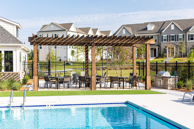
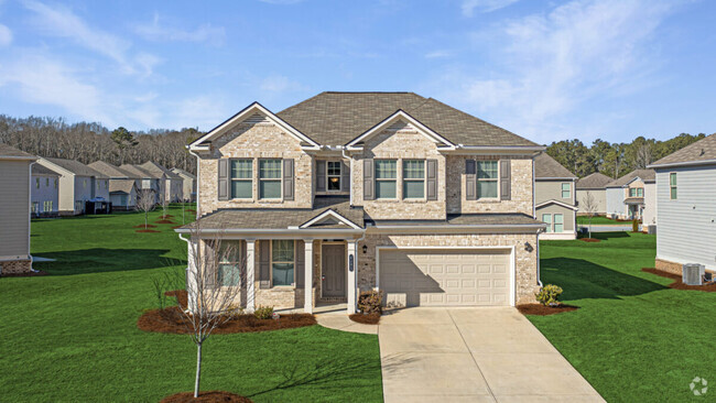
You May Also Like
Similar Rentals Nearby
What Are Walk Score®, Transit Score®, and Bike Score® Ratings?
Walk Score® measures the walkability of any address. Transit Score® measures access to public transit. Bike Score® measures the bikeability of any address.
What is a Sound Score Rating?
A Sound Score Rating aggregates noise caused by vehicle traffic, airplane traffic and local sources