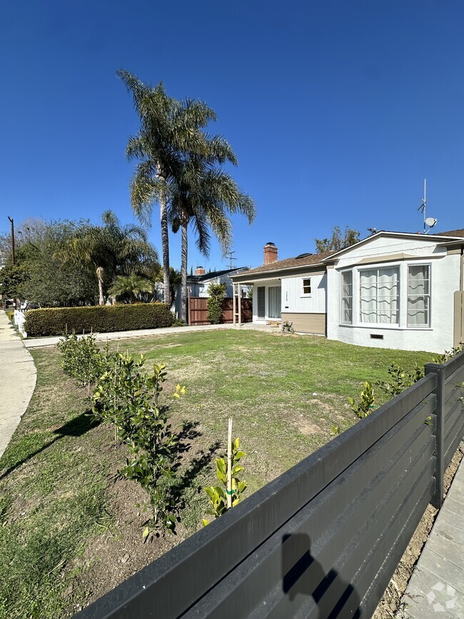
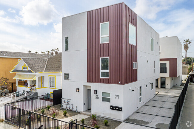
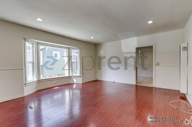
480 S Alhambra Ave
480 S Alhambra Ave
Monterey Park, CA 91755

Check Back Soon for Upcoming Availability
Nestled in the San Gabriel Valley, Monterey Park is just eight miles east of Los Angeles. The commercial districts on Atlantic Boulevard and Garvey Avenue are teeming with restaurants specializing in Asian cuisine, along with markets, shops, and salons.
Several parks in town offer residents a peaceful reprieve from busy modern life. Monterey Park residents enjoy relaxing and engaging in outdoor recreation at Barnes Park, Sequoia Park, and Garvey Ranch Park. Lively events draw the community together in Monterey Park, including the Cherry Blossom Festival, Geranium Festival, Cinco de Mayo Celebration, and Lunar New Year Festival. Convenient freeway access brings Monterey Park residents to the many amenities of Downtown Los Angeles in 15 minutes.
Learn more about living in Monterey Park| Colleges & Universities | Distance | ||
|---|---|---|---|
| Colleges & Universities | Distance | ||
| Drive: | 7 min | 3.2 mi | |
| Drive: | 10 min | 4.8 mi | |
| Drive: | 12 min | 7.0 mi | |
| Drive: | 13 min | 7.0 mi |
Transportation options available in Monterey Park include Atlantic, located 3.6 miles from 480 S Alhambra Ave. 480 S Alhambra Ave is near Long Beach (Daugherty Field), located 22.0 miles or 34 minutes away, and Bob Hope, located 23.5 miles or 33 minutes away.
| Transit / Subway | Distance | ||
|---|---|---|---|
| Transit / Subway | Distance | ||
|
|
Drive: | 7 min | 3.6 mi |
|
|
Drive: | 8 min | 4.0 mi |
| Drive: | 10 min | 4.5 mi | |
|
|
Drive: | 14 min | 5.7 mi |
|
|
Drive: | 10 min | 6.0 mi |
| Commuter Rail | Distance | ||
|---|---|---|---|
| Commuter Rail | Distance | ||
|
|
Drive: | 10 min | 4.6 mi |
|
|
Drive: | 15 min | 6.2 mi |
|
|
Drive: | 11 min | 6.3 mi |
|
|
Drive: | 16 min | 9.0 mi |
| Drive: | 17 min | 12.8 mi |
| Airports | Distance | ||
|---|---|---|---|
| Airports | Distance | ||
|
Long Beach (Daugherty Field)
|
Drive: | 34 min | 22.0 mi |
|
Bob Hope
|
Drive: | 33 min | 23.5 mi |
Time and distance from 480 S Alhambra Ave.
| Shopping Centers | Distance | ||
|---|---|---|---|
| Shopping Centers | Distance | ||
| Walk: | 10 min | 0.5 mi | |
| Walk: | 13 min | 0.7 mi | |
| Walk: | 16 min | 0.9 mi |
| Parks and Recreation | Distance | ||
|---|---|---|---|
| Parks and Recreation | Distance | ||
|
Whittier Narrows Recreation Area
|
Drive: | 12 min | 5.1 mi |
|
Whittier Narrows Nature Center
|
Drive: | 11 min | 6.0 mi |
|
Huntington Botanical Gardens
|
Drive: | 17 min | 6.6 mi |
|
Pio Pico State Historic Park
|
Drive: | 15 min | 7.0 mi |
|
Audubon Center at Debs Park
|
Drive: | 17 min | 10.9 mi |
| Hospitals | Distance | ||
|---|---|---|---|
| Hospitals | Distance | ||
| Drive: | 3 min | 1.2 mi | |
| Drive: | 5 min | 2.0 mi | |
| Drive: | 9 min | 3.9 mi |
| Military Bases | Distance | ||
|---|---|---|---|
| Military Bases | Distance | ||
| Drive: | 38 min | 22.8 mi | |
| Drive: | 35 min | 24.8 mi |
You May Also Like
Similar Rentals Nearby
What Are Walk Score®, Transit Score®, and Bike Score® Ratings?
Walk Score® measures the walkability of any address. Transit Score® measures access to public transit. Bike Score® measures the bikeability of any address.
What is a Sound Score Rating?
A Sound Score Rating aggregates noise caused by vehicle traffic, airplane traffic and local sources

