483 Lynnhurst Ave E Unit 2
Saint Paul, MN 55104
-
Bedrooms
1
-
Bathrooms
1
-
Square Feet
550 sq ft
-
Available
Available Now

About This Home
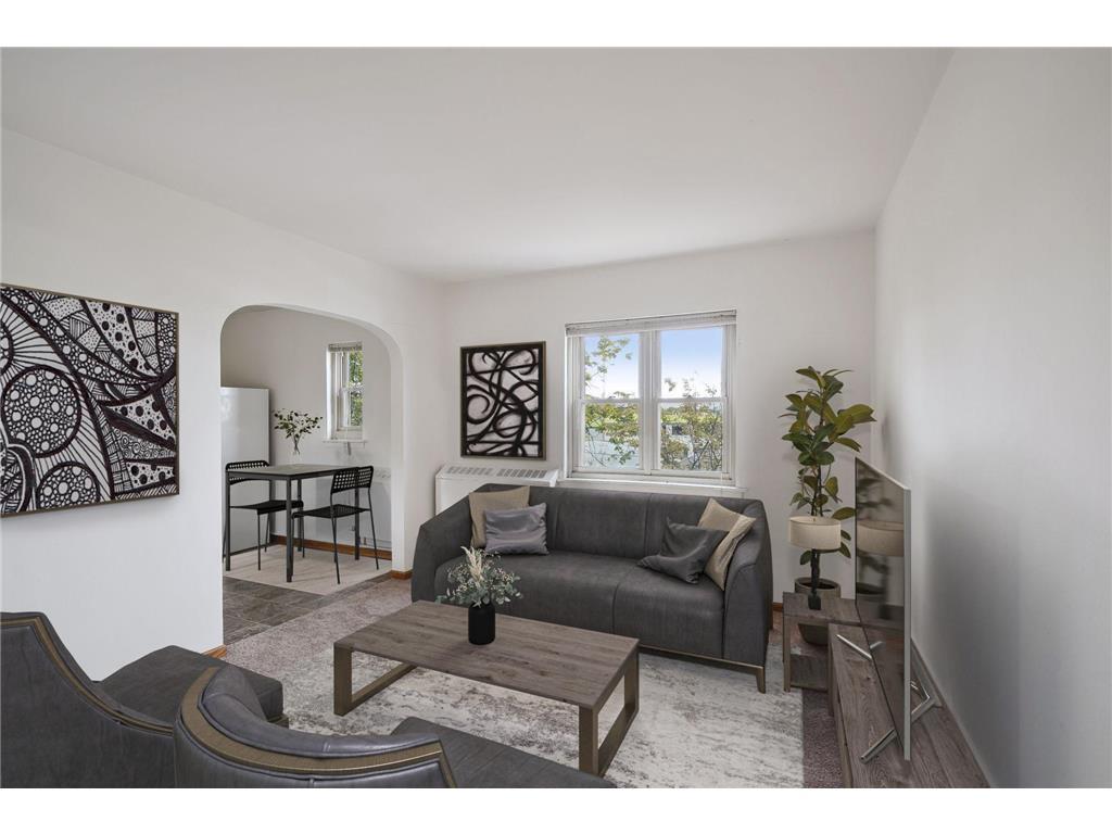
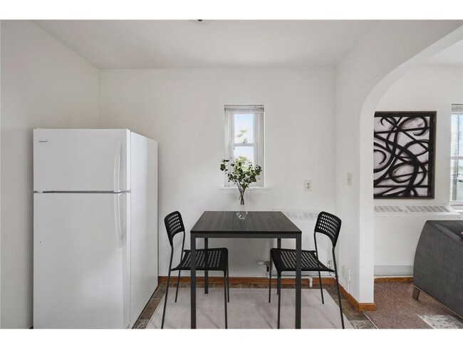
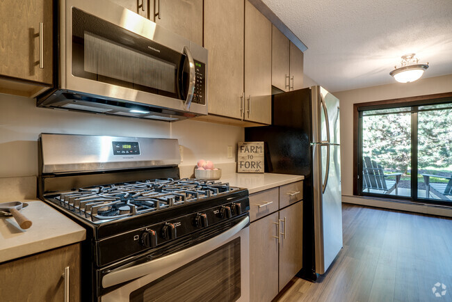
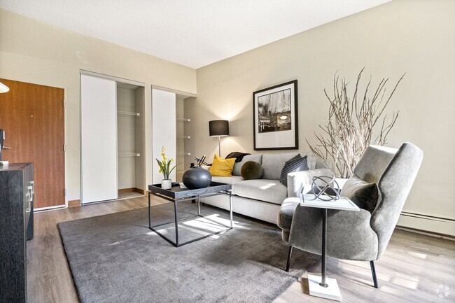
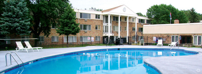
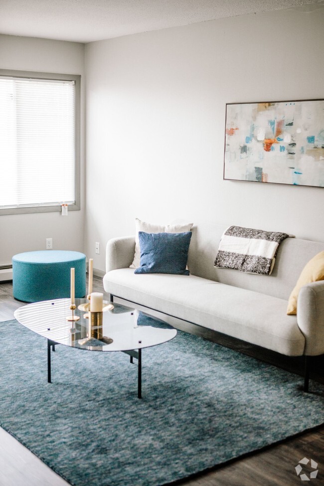
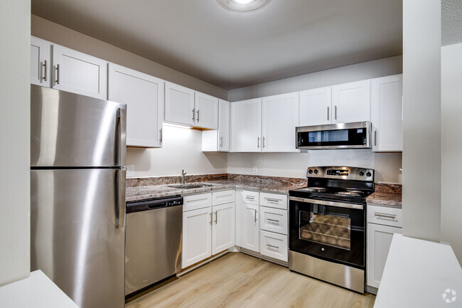
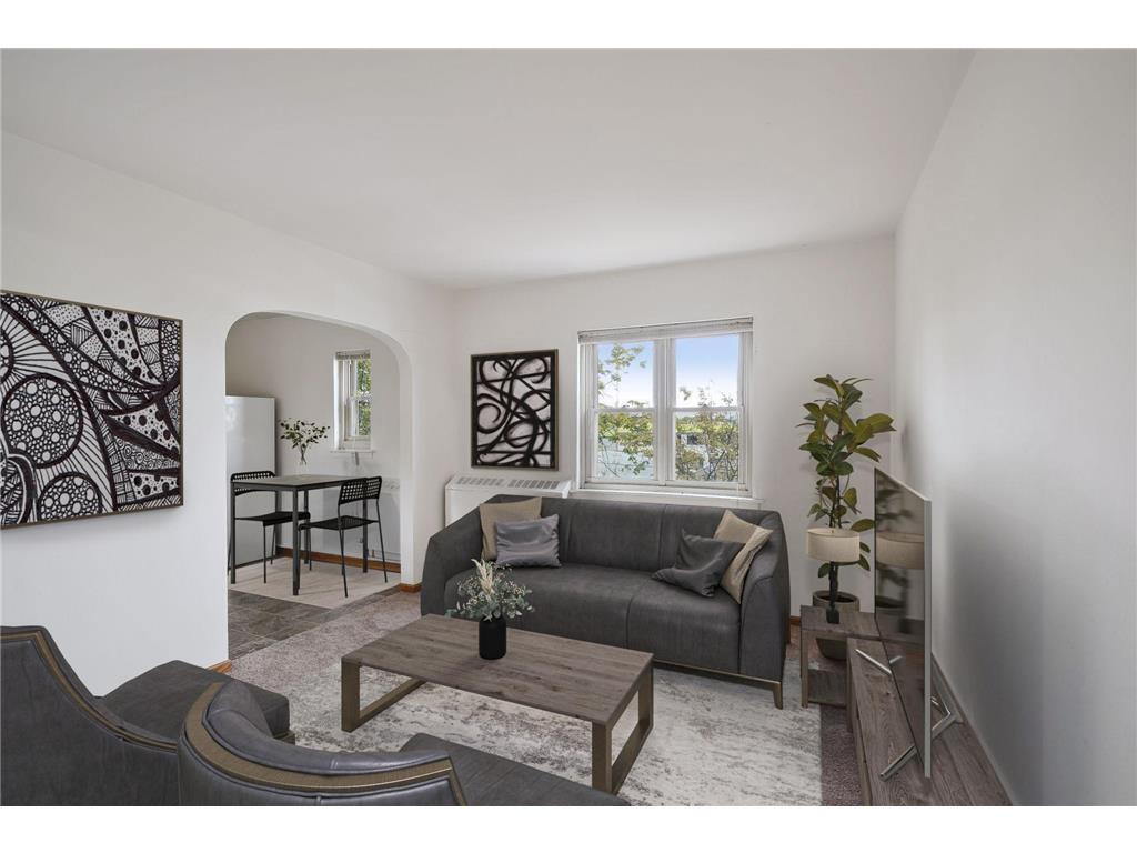
Large 1 bedroom in the Union Park/Iris Park Saint Paul Location. Very near Allianz Field and convenient access to Hwy 94. Managed by The Stepping Stone Group, this building is nestled in between the sought after neighborhoods of Saint Anthony Park and Union Park. Directly across from Iris Park, just imagine a fall afternoon on a bench, with a good book, and a coffee from the local cafe, Rafiki Coffe, in hand. Hot Spots Near By: -Burning Brothers Brewery -SK Coffe Bar -Twin Cities Railroad Museum -Shadow Falls Park Unit Features: - Gas stove - Shared Coin-Op Washer and Dryer - Paid off Street parking option Utilities: -Tenant Pays flat $75 per month for water, sewer, trash & gas. - Tenant responsible for electric and internet Pets are welcome with a $350 nonrefundable fee for both cats and dogs in addition to $30/mo for pet rent. We have no breed restrictions or weight limits, so feel free to bring your furry friends to live with us! We can't wait to show you this space, connect with us today!
483 Lynnhurst Ave E is an apartment community located in Ramsey County and the 55104 ZIP Code.
Features
Air Conditioning
Refrigerator
Freezer
Heating
- Air Conditioning
- Heating
- Range
- Refrigerator
- Freezer
Fees and Policies
The fees below are based on community-supplied data and may exclude additional fees and utilities.
- Parking
-
Street--
Contact
- Listed by Ross G Lumley | Stepping Stone Brokers LLC
- Phone Number
- Contact
-
Source
 NorthstarMLS®
- Air Conditioning
- Heating
- Range
- Refrigerator
- Freezer
Along the shore of the Mississippi River, Merriam Park West offers riverfront parks, a large golf course, and quaint local restaurants just minutes from downtown Saint Paul, Minnesota. Stop on in at Izzy’s Ice Cream Café, or grab a treat at Black Coffee and Waffle Bar. Local businesses thrive alongside riverfront community spaces like Shadow Falls Park, a picturesque nature preserve.
The University of Saint Thomas resides on the south end of town, and the neighborhood offers a blend of private and public schools, churches, and every day conveniences. Situated just five miles southeast of Minneapolis and seven miles northeast of the Minneapolis-Saint Paul International Airport, this neighborhood is in a premier location for commuting, shopping, dining, and entertainment.
Learn more about living in Merriam Park West| Colleges & Universities | Distance | ||
|---|---|---|---|
| Colleges & Universities | Distance | ||
| Drive: | 4 min | 1.5 mi | |
| Drive: | 3 min | 1.7 mi | |
| Drive: | 5 min | 1.7 mi | |
| Drive: | 3 min | 1.9 mi |
Transportation options available in Saint Paul include Fairview Ave Station, located 0.2 mile from 483 Lynnhurst Ave E Unit 2. 483 Lynnhurst Ave E Unit 2 is near Minneapolis-St Paul International/Wold-Chamberlain, located 7.7 miles or 16 minutes away.
| Transit / Subway | Distance | ||
|---|---|---|---|
| Transit / Subway | Distance | ||
| Walk: | 3 min | 0.2 mi | |
| Walk: | 13 min | 0.7 mi | |
| Drive: | 2 min | 1.2 mi | |
| Drive: | 4 min | 1.3 mi | |
| Drive: | 4 min | 1.7 mi |
| Commuter Rail | Distance | ||
|---|---|---|---|
| Commuter Rail | Distance | ||
|
|
Drive: | 10 min | 5.4 mi |
|
|
Drive: | 14 min | 6.2 mi |
|
|
Drive: | 22 min | 14.6 mi |
|
|
Drive: | 32 min | 23.1 mi |
|
|
Drive: | 33 min | 24.8 mi |
| Airports | Distance | ||
|---|---|---|---|
| Airports | Distance | ||
|
Minneapolis-St Paul International/Wold-Chamberlain
|
Drive: | 16 min | 7.7 mi |
Time and distance from 483 Lynnhurst Ave E Unit 2.
| Shopping Centers | Distance | ||
|---|---|---|---|
| Shopping Centers | Distance | ||
| Walk: | 17 min | 0.9 mi | |
| Drive: | 3 min | 1.3 mi | |
| Drive: | 4 min | 1.9 mi |
| Parks and Recreation | Distance | ||
|---|---|---|---|
| Parks and Recreation | Distance | ||
|
Newell Park
|
Walk: | 20 min | 1.0 mi |
|
Macalester College Observatory
|
Drive: | 3 min | 1.9 mi |
|
Tower Hill Park
|
Drive: | 6 min | 2.1 mi |
|
Brackett Park
|
Drive: | 7 min | 2.6 mi |
|
The Raptor Center - University of Minnesota
|
Drive: | 9 min | 3.1 mi |
| Hospitals | Distance | ||
|---|---|---|---|
| Hospitals | Distance | ||
| Drive: | 7 min | 3.6 mi | |
| Drive: | 8 min | 4.4 mi | |
| Drive: | 9 min | 4.7 mi |
| Military Bases | Distance | ||
|---|---|---|---|
| Military Bases | Distance | ||
| Drive: | 15 min | 6.4 mi |
You May Also Like
Similar Rentals Nearby
What Are Walk Score®, Transit Score®, and Bike Score® Ratings?
Walk Score® measures the walkability of any address. Transit Score® measures access to public transit. Bike Score® measures the bikeability of any address.
What is a Sound Score Rating?
A Sound Score Rating aggregates noise caused by vehicle traffic, airplane traffic and local sources
