49 Worthington St
49 Worthington St,
Boston,
MA
02120
2 Weeks Ago
Favorites
49 Worthington St

Favorites
Check Back Soon for Upcoming Availability
About 49 Worthington St Boston, MA 02120
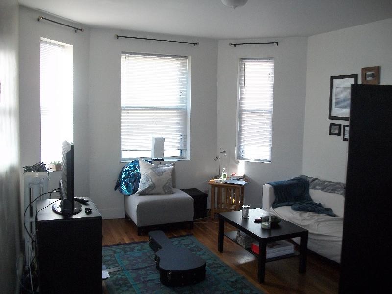
Large top floor one-bedroom apt with hardwood floors, full-size eat-in kitchen, ample closet space, & bright windows. Laundry & elevator on site. Office on site. Mins to Green Line (E), Bus #66 & 39, MCPHS, HSPH, MassArt, Wentworth, Simmons.
49 Worthington St is an apartment community located in Suffolk County and the 02120 ZIP Code.
Apartment Features
Washer/Dryer
Hardwood Floors
Eat-in Kitchen
Kitchen
- Washer/Dryer
- Eat-in Kitchen
- Kitchen
- Hardwood Floors
- Elevator
Fees and Policies
Details
Lease Options
-
12 Months
Property Address:
49 Worthington St,
Boston,
MA
02120
Boston is the iconic capital and largest city of Massachusetts, known for its historical significance, top-notch culinary scene, and beautiful Bayfront views. Nestled on Massachusetts Bay, Boston is home to numerous universities including Harvard University, Boston College, Northeastern University, the University of Massachusetts-Boston, the Berklee College of Music, and the Benjamin Franklin Institute of Technology. In fact, there are 54 colleges and universities in the Boston area, dating all the way back to 1636 when Harvard was established.
Boston played a crucial role in the American Revolution, being the site of major events like the Boston Massacre and the Boston Tea Party. This city is filled with historic sites, landmarks, and architecture like the Boston Common, the first park in the country, dating back to 1624. Locals frequent Freedom Trail for its walking park that begins at the park and leads past several historic sites, including Paul Revere’s House and Faneuil Hall.
Learn more about living in Boston
Amenities
- Washer/Dryer
- Eat-in Kitchen
- Kitchen
- Hardwood Floors
- Elevator
Education
| Colleges & Universities | Distance | ||
|---|---|---|---|
| Colleges & Universities | Distance | ||
| Walk: | 4 min | 0.2 mi | |
| Walk: | 4 min | 0.2 mi | |
| Walk: | 8 min | 0.4 mi | |
| Walk: | 11 min | 0.6 mi |
49 Worthington St is within 4 minutes or 0.2 mile from MCPHS University, Boston. It is also near MassArt and Wentworth Inst. of Technology.
Transportation options available in Boston include Brigham Circle Station, located 0.1 mile from 49 Worthington St. 49 Worthington St is near General Edward Lawrence Logan International, located 6.8 miles or 13 minutes away.
| Transit / Subway | Distance | ||
|---|---|---|---|
| Transit / Subway | Distance | ||
|
|
Walk: | 2 min | 0.1 mi |
|
|
Walk: | 3 min | 0.2 mi |
|
|
Walk: | 5 min | 0.3 mi |
|
|
Walk: | 8 min | 0.4 mi |
|
|
Drive: | 2 min | 1.2 mi |
| Commuter Rail | Distance | ||
|---|---|---|---|
| Commuter Rail | Distance | ||
|
|
Walk: | 14 min | 0.8 mi |
|
|
Drive: | 7 min | 1.9 mi |
| Drive: | 4 min | 2.4 mi | |
|
|
Drive: | 5 min | 2.4 mi |
|
|
Drive: | 8 min | 4.6 mi |
| Airports | Distance | ||
|---|---|---|---|
| Airports | Distance | ||
|
General Edward Lawrence Logan International
|
Drive: | 13 min | 6.8 mi |
Time and distance from 49 Worthington St.
| Shopping Centers | Distance | ||
|---|---|---|---|
| Shopping Centers | Distance | ||
| Walk: | 10 min | 0.5 mi | |
| Drive: | 3 min | 1.5 mi | |
| Drive: | 10 min | 5.6 mi |
49 Worthington St has 3 shopping centers within 5.6 miles, which is about a 10-minute drive. The miles and minutes will be for the farthest away property.
| Parks and Recreation | Distance | ||
|---|---|---|---|
| Parks and Recreation | Distance | ||
|
Roxbury Heritage State Park
|
Drive: | 3 min | 1.1 mi |
|
John Fitzgerald Kennedy National Historic Site
|
Drive: | 5 min | 1.7 mi |
|
Charles River Reservation
|
Drive: | 4 min | 1.9 mi |
|
Frederick Law Olmsted National Historic Site
|
Drive: | 4 min | 2.0 mi |
|
Coit Observatory
|
Drive: | 4 min | 2.1 mi |
49 Worthington St has 5 parks within 2.1 miles, including Roxbury Heritage State Park, Coit Observatory, and Charles River Reservation.
| Hospitals | Distance | ||
|---|---|---|---|
| Hospitals | Distance | ||
| Walk: | 7 min | 0.4 mi | |
| Walk: | 7 min | 0.4 mi | |
| Walk: | 12 min | 0.7 mi |
49 Worthington St has 3 hospitals within 0.7 mile, the nearest is Brigham and Women's Hospital which is 0.4 mile away and a 7 minutes walk.
| Military Bases | Distance | ||
|---|---|---|---|
| Military Bases | Distance | ||
| Drive: | 27 min | 15.0 mi | |
| Drive: | 30 min | 15.4 mi |
49 Worthington St is 15.0 miles from US Military Reservation, and is convenient to other military bases, including Hanscom Air Force Base.
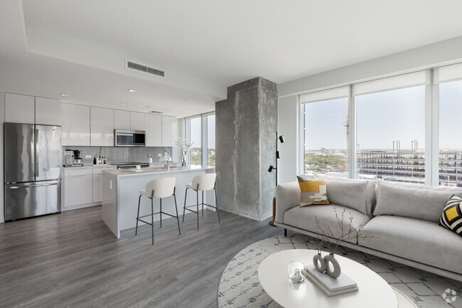
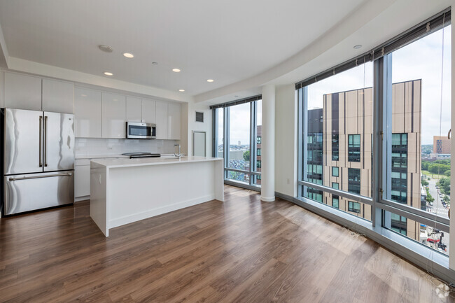
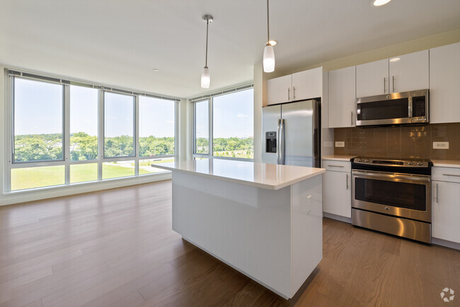
You May Also Like
Similar Rentals Nearby


What Are Walk Score®, Transit Score®, and Bike Score® Ratings?
Walk Score® measures the walkability of any address. Transit Score® measures access to public transit. Bike Score® measures the bikeability of any address.
What is a Sound Score Rating?
A Sound Score Rating aggregates noise caused by vehicle traffic, airplane traffic and local sources