51 High St
Uxbridge, MA 01569

Check Back Soon for Upcoming Availability
| Beds | Baths | Average SF |
|---|---|---|
| 1 Bedroom 1 Bedroom 1 Br | 1 Bath 1 Bath 1 Ba | 540 SF |
About This Property
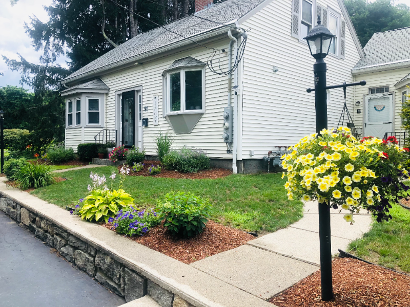
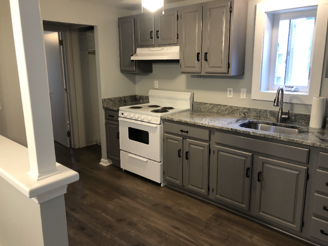
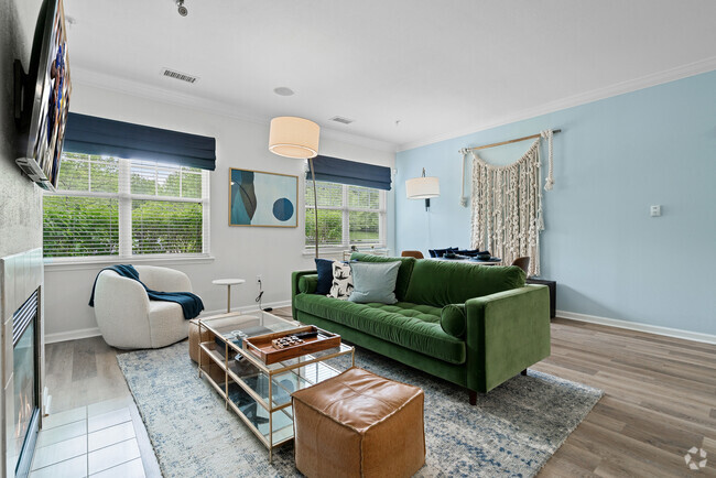
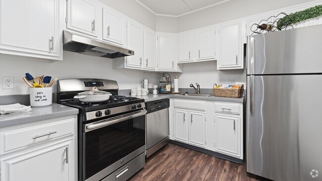
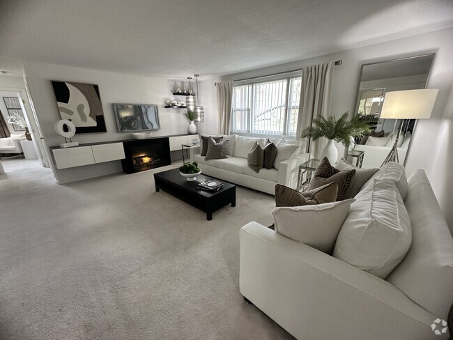
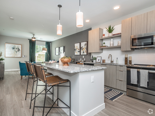
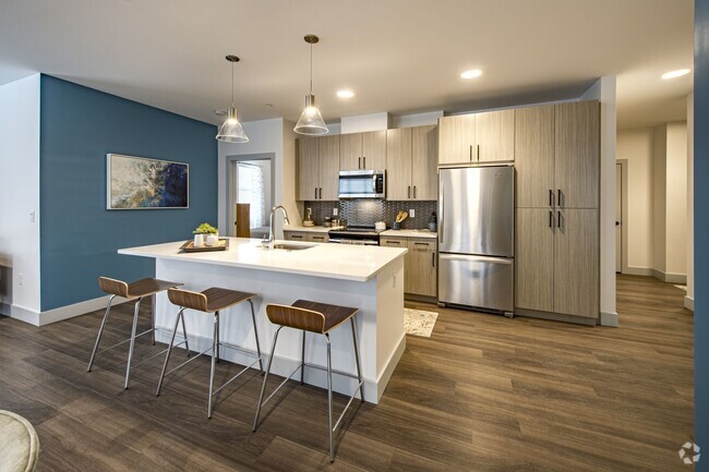
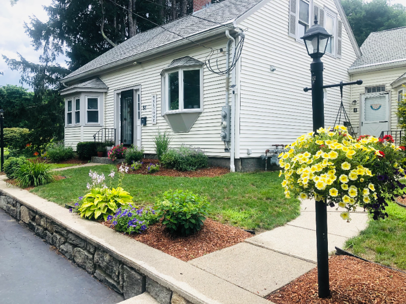
Property Id: 539522 1BR + 1OFFICE+ 1BATH and on 1st FL. Off-street parking for 1 car. There is no opportunity for on street parking. Deck area, garden, private planting area for flowers. NO SMOKING ONSITE OR GROUNDS. As our upstairs tenant has asthma. Tenant is responsible for cable, lights, gas. Landlords pays water, sewage, and trash removal. Cats are welcome with a $200.00 pet deposit. We have a beautiful back yard and wonderful neighbors. We are between Worcester and Providence and just off rt146. This is ideal for retired, semi-retired, or single individuals. We require a 680+ CS, no evictions, no felonies, and you must earn 3x the rent gross monthly. Background and income verification are done by a 3rd party company. We don't profit from the background check but is required. If you take apartment, you get refunded the background fee. It can be viewed after Sep 1. However, the pictures were taken just prior to previous tenant moving in. It will look exactly the same as we plan to repaint.
51 High St is an apartment community located in Worcester County and the 01569 ZIP Code.
Features
- Cable Ready
- Oven
- Refrigerator
- Lawn
Fees and Policies
The fees below are based on community-supplied data and may exclude additional fees and utilities.
- Cats Allowed
-
Fees not specified
-
Weight limit--
-
Pet Limit--
Details
Utilities Included
-
Water
-
Trash Removal
-
Sewer
- Cable Ready
- Oven
- Refrigerator
- Lawn
| Colleges & Universities | Distance | ||
|---|---|---|---|
| Colleges & Universities | Distance | ||
| Drive: | 23 min | 13.8 mi | |
| Drive: | 35 min | 16.4 mi | |
| Drive: | 26 min | 17.3 mi | |
| Drive: | 28 min | 18.0 mi |
Transportation options available in Uxbridge include Riverside Station, located 37.0 miles from 51 High St. 51 High St is near Worcester Regional, located 23.9 miles or 37 minutes away, and Rhode Island Tf Green International, located 30.8 miles or 45 minutes away.
| Transit / Subway | Distance | ||
|---|---|---|---|
| Transit / Subway | Distance | ||
|
|
Drive: | 55 min | 37.0 mi |
|
|
Drive: | 55 min | 37.4 mi |
|
|
Drive: | 57 min | 38.1 mi |
|
|
Drive: | 59 min | 39.6 mi |
|
|
Drive: | 59 min | 39.9 mi |
| Commuter Rail | Distance | ||
|---|---|---|---|
| Commuter Rail | Distance | ||
|
|
Drive: | 25 min | 12.5 mi |
|
|
Drive: | 28 min | 14.3 mi |
|
|
Drive: | 34 min | 16.1 mi |
|
|
Drive: | 38 min | 18.2 mi |
|
|
Drive: | 33 min | 18.6 mi |
| Airports | Distance | ||
|---|---|---|---|
| Airports | Distance | ||
|
Worcester Regional
|
Drive: | 37 min | 23.9 mi |
|
Rhode Island Tf Green International
|
Drive: | 45 min | 30.8 mi |
Time and distance from 51 High St.
| Shopping Centers | Distance | ||
|---|---|---|---|
| Shopping Centers | Distance | ||
| Walk: | 20 min | 1.1 mi | |
| Drive: | 8 min | 3.6 mi | |
| Drive: | 10 min | 4.6 mi |
| Parks and Recreation | Distance | ||
|---|---|---|---|
| Parks and Recreation | Distance | ||
|
Blackstone River and Canal Heritage State Park
|
Drive: | 6 min | 2.3 mi |
|
Purgatory Chasm State Reservation
|
Drive: | 15 min | 8.6 mi |
|
Douglas State Forest
|
Drive: | 19 min | 8.8 mi |
|
Blackstone River Valley National Heritage Corridor
|
Drive: | 17 min | 10.1 mi |
|
World War II Memorial State Park
|
Drive: | 19 min | 10.9 mi |
| Hospitals | Distance | ||
|---|---|---|---|
| Hospitals | Distance | ||
| Drive: | 15 min | 7.4 mi | |
| Drive: | 19 min | 11.2 mi |
| Military Bases | Distance | ||
|---|---|---|---|
| Military Bases | Distance | ||
| Drive: | 48 min | 23.1 mi |
You May Also Like
Similar Rentals Nearby
What Are Walk Score®, Transit Score®, and Bike Score® Ratings?
Walk Score® measures the walkability of any address. Transit Score® measures access to public transit. Bike Score® measures the bikeability of any address.
What is a Sound Score Rating?
A Sound Score Rating aggregates noise caused by vehicle traffic, airplane traffic and local sources
