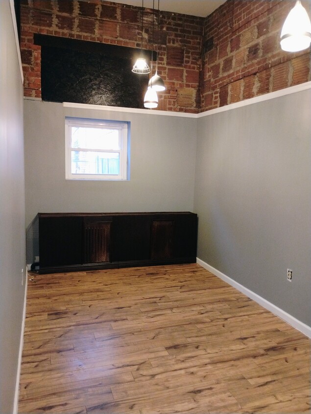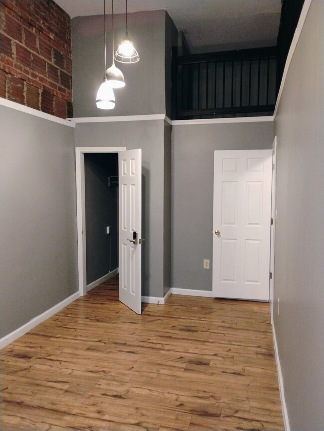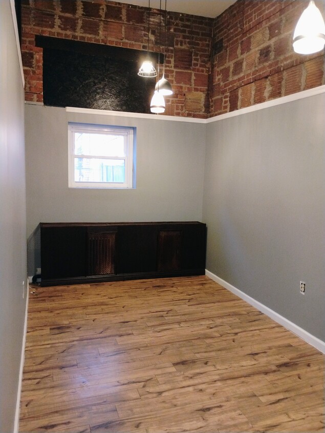
-
Monthly Rent
$2,100
-
Bedrooms
2 bd
-
Bathrooms
1 ba
-
Square Feet
168 sq ft
Details

Fees and Policies
The fees below are based on community-supplied data and may exclude additional fees and utilities.
Details
Utilities Included
-
Water
-
Trash Removal
Property Information
-
3 units
Lower Roseville is located in northwest Newark, making up the second part of the Roseville neighborhood. The area has a long history going back to Old Newark and is known for its laid-back lifestyle and close-knit community. The neighborhood is mainly residential, but there are a variety of restaurants, cafes, retailers, and parks as well. Lower Roseville sits alongside Branch Brook Park and the Cathedral Basilica. A historic piece of architecture and culture and a scenic, 360-acre park are at the fingertips of Lower Roseville residents.
Learn more about living in Lower Roseville| Colleges & Universities | Distance | ||
|---|---|---|---|
| Colleges & Universities | Distance | ||
| Drive: | 3 min | 1.5 mi | |
| Drive: | 3 min | 1.5 mi | |
| Drive: | 3 min | 1.7 mi | |
| Drive: | 7 min | 3.8 mi |
Transportation options available in Newark include Orange Street, located 0.5 mile from 51 Myrtle Ave Unit 1. 51 Myrtle Ave Unit 1 is near Newark Liberty International, located 7.0 miles or 12 minutes away, and Laguardia, located 27.8 miles or 42 minutes away.
| Transit / Subway | Distance | ||
|---|---|---|---|
| Transit / Subway | Distance | ||
|
|
Walk: | 10 min | 0.5 mi |
|
|
Walk: | 14 min | 0.8 mi |
|
|
Walk: | 19 min | 1.0 mi |
|
|
Drive: | 2 min | 1.3 mi |
|
|
Drive: | 3 min | 1.6 mi |
| Commuter Rail | Distance | ||
|---|---|---|---|
| Commuter Rail | Distance | ||
|
|
Drive: | 2 min | 1.2 mi |
|
|
Drive: | 2 min | 1.3 mi |
|
|
Drive: | 3 min | 1.7 mi |
|
|
Drive: | 5 min | 2.5 mi |
|
|
Drive: | 5 min | 2.7 mi |
| Airports | Distance | ||
|---|---|---|---|
| Airports | Distance | ||
|
Newark Liberty International
|
Drive: | 12 min | 7.0 mi |
|
Laguardia
|
Drive: | 42 min | 27.8 mi |
Time and distance from 51 Myrtle Ave Unit 1.
| Shopping Centers | Distance | ||
|---|---|---|---|
| Shopping Centers | Distance | ||
| Walk: | 11 min | 0.6 mi | |
| Walk: | 18 min | 1.0 mi | |
| Drive: | 3 min | 1.1 mi |
| Parks and Recreation | Distance | ||
|---|---|---|---|
| Parks and Recreation | Distance | ||
|
Newark Museum and Dreyfuss Planetarium
|
Drive: | 3 min | 1.6 mi |
|
Branch Brook Park
|
Drive: | 5 min | 2.0 mi |
|
Edison National Historic Site
|
Drive: | 8 min | 3.9 mi |
|
Kearny Marsh
|
Drive: | 9 min | 4.3 mi |
|
Richard W. DeKorte Park
|
Drive: | 14 min | 6.8 mi |
| Hospitals | Distance | ||
|---|---|---|---|
| Hospitals | Distance | ||
| Drive: | 2 min | 1.1 mi | |
| Drive: | 3 min | 1.4 mi | |
| Drive: | 3 min | 1.5 mi |
| Military Bases | Distance | ||
|---|---|---|---|
| Military Bases | Distance | ||
| Drive: | 17 min | 10.9 mi | |
| Drive: | 28 min | 13.5 mi | |
| Drive: | 33 min | 18.9 mi |
51 Myrtle Ave Unit 1 Photos
What Are Walk Score®, Transit Score®, and Bike Score® Ratings?
Walk Score® measures the walkability of any address. Transit Score® measures access to public transit. Bike Score® measures the bikeability of any address.
What is a Sound Score Rating?
A Sound Score Rating aggregates noise caused by vehicle traffic, airplane traffic and local sources


