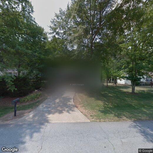
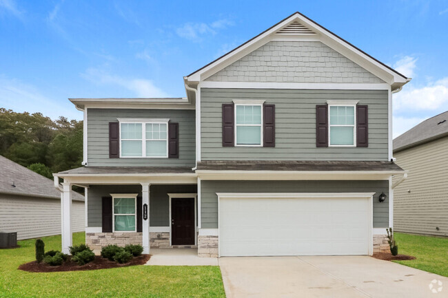
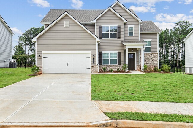
5205 Elliott Rd
Powder Springs, GA 30127
Favorites

5205 Elliott Rd
Favorites
Check Back Soon for Upcoming Availability
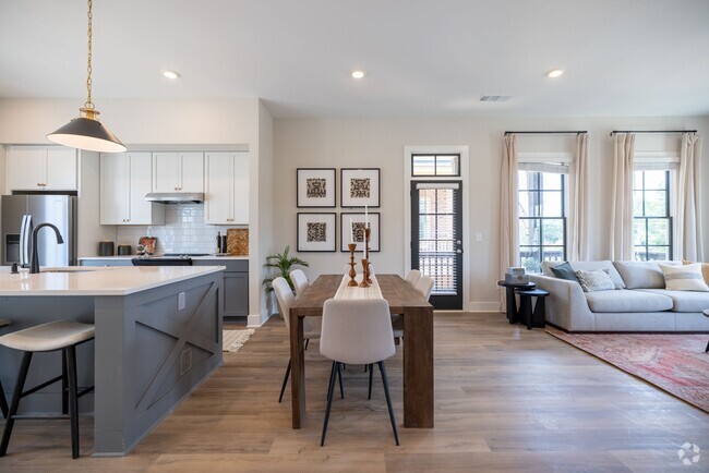
| Beds | Baths | Average SF |
|---|---|---|
| 4 Bedrooms 4 Bedrooms 4 Br | 3 Baths 3 Baths 3 Ba | — |
Property Address:
5205 Elliott Rd,
Powder Springs,
GA
30127
 This Property
 Available Property
Powder Springs is a suburban city located about ten miles southwest of Marietta and twenty miles northwest of Downtown Atlanta. Largely thanks to its prime location and fairly affordable rental market (largely composed of single-family homes), Powder Springs has become a highly popular home base among Atlanta-area commuters. Families in particular have been drawn by the area’s high-performing schools and classic small-town vibe.
Apart from a few small shopping centers, the city proper is almost entirely residential, although a large retail cluster sits on the northwest corner of town along Wendy Bagwell Parkway. Folks who appreciate the tranquility of the countryside will love the pastoral landscape surrounding Powder Springs, with lush nature preserves like Kennesaw Mountain and Sweetwater Creek just minutes away.
Learn more about living in Powder Springs
Education
| Colleges & Universities | Distance | ||
|---|---|---|---|
| Colleges & Universities | Distance | ||
| Drive: | 13 min | 7.8 mi | |
| Drive: | 16 min | 10.0 mi | |
| Drive: | 19 min | 11.5 mi | |
| Drive: | 24 min | 13.6 mi |
5205 Elliott Rd is within 13 minutes or 7.8 miles from Chatt. Tech, Paulding. It is also near Chatt. Tech, Austell and Chatt. Tech, Marietta.
Transportation options available in Powder Springs include Hamilton E Holmes, located 19.3 miles from 5205 Elliott Rd. 5205 Elliott Rd is near Hartsfield - Jackson Atlanta International, located 32.0 miles or 46 minutes away.
| Transit / Subway | Distance | ||
|---|---|---|---|
| Transit / Subway | Distance | ||
|
|
Drive: | 28 min | 19.3 mi |
|
|
Drive: | 29 min | 20.3 mi |
|
|
Drive: | 33 min | 22.0 mi |
|
|
Drive: | 32 min | 22.0 mi |
|
|
Drive: | 40 min | 27.4 mi |
| Commuter Rail | Distance | ||
|---|---|---|---|
| Commuter Rail | Distance | ||
|
|
Drive: | 41 min | 28.4 mi |
| Airports | Distance | ||
|---|---|---|---|
| Airports | Distance | ||
|
Hartsfield - Jackson Atlanta International
|
Drive: | 46 min | 32.0 mi |
Time and distance from 5205 Elliott Rd.
| Shopping Centers | Distance | ||
|---|---|---|---|
| Shopping Centers | Distance | ||
| Walk: | 15 min | 0.8 mi | |
| Drive: | 3 min | 1.2 mi | |
| Drive: | 4 min | 2.0 mi |
5205 Elliott Rd has 3 shopping centers within 2.0 miles, which is about a 4-minute drive. The miles and minutes will be for the farthest away property.
| Parks and Recreation | Distance | ||
|---|---|---|---|
| Parks and Recreation | Distance | ||
|
Leone Hall Price Park
|
Drive: | 17 min | 9.6 mi |
|
Picketts Mill Battlefield Historical Site
|
Drive: | 22 min | 10.6 mi |
|
Kennesaw Mountain National Battlefield Park
|
Drive: | 20 min | 11.0 mi |
|
Sweetwater Creek State Park
|
Drive: | 21 min | 11.1 mi |
5205 Elliott Rd has 4 parks within 11.1 miles, including Leone Hall Price Park, Kennesaw Mountain National Battlefield Park, and Picketts Mill Battlefield Historical Site.
| Hospitals | Distance | ||
|---|---|---|---|
| Hospitals | Distance | ||
| Drive: | 10 min | 5.3 mi | |
| Drive: | 14 min | 8.1 mi |
5205 Elliott Rd is 5.3 miles from WellStar Paulding Hospital, and is convenient to other hospitals, including WellStar Cobb Hospital.
| Military Bases | Distance | ||
|---|---|---|---|
| Military Bases | Distance | ||
| Drive: | 27 min | 14.5 mi | |
| Drive: | 37 min | 24.9 mi |
5205 Elliott Rd is 14.5 miles from Dobbins Air Force Base, and is convenient to other military bases, including Fort McPherson.
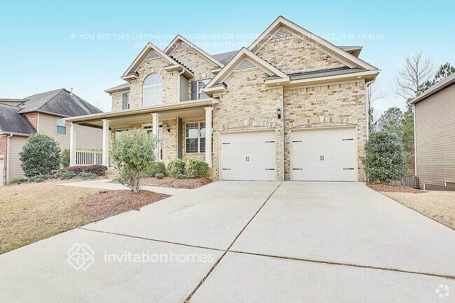
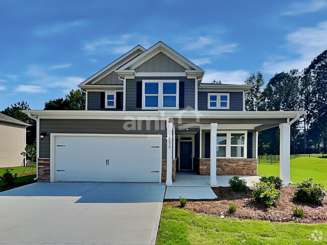
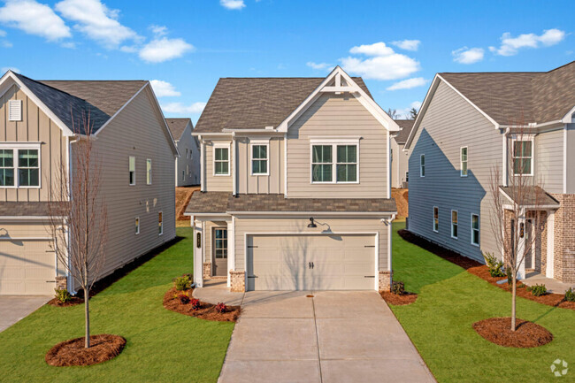
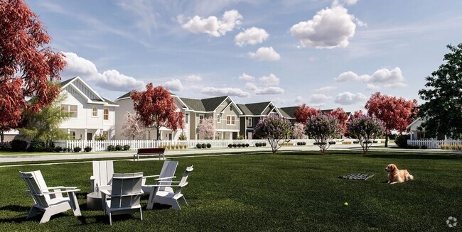
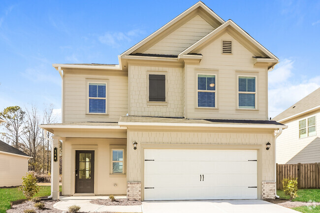
You May Also Like
Similar Rentals Nearby
-
-
-
-
1 / 15
-
1 / 19
-
1 / 37
-
1 / 38
-
-
-
What Are Walk Score®, Transit Score®, and Bike Score® Ratings?
Walk Score® measures the walkability of any address. Transit Score® measures access to public transit. Bike Score® measures the bikeability of any address.
What is a Sound Score Rating?
A Sound Score Rating aggregates noise caused by vehicle traffic, airplane traffic and local sources

5205 Elliott Rd
Powder Springs, GA 30127