$950 / Month
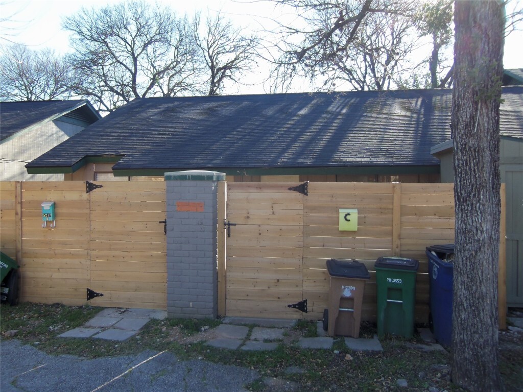
5217 Tahoe Trail
Austin, TX 78745
Today
Favorites
-
Bedrooms
1
-
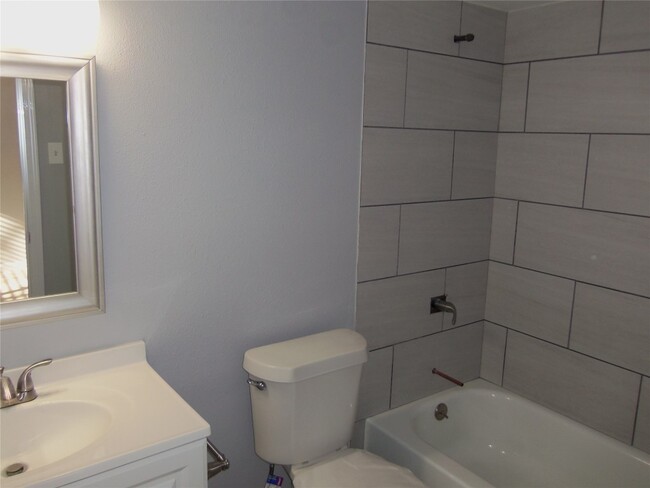
Bathrooms
1
-
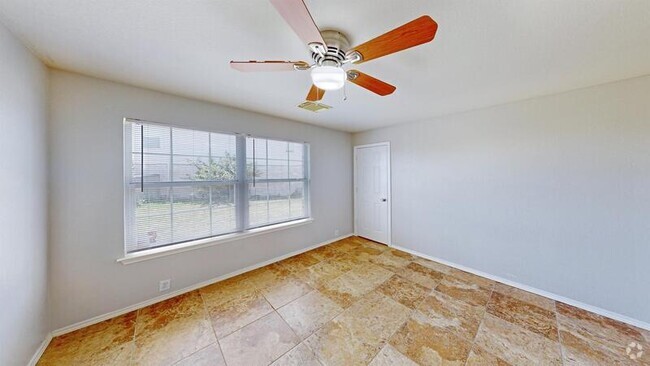
Square Feet
575 sq ft
5217 Tahoe Trail

Favorites
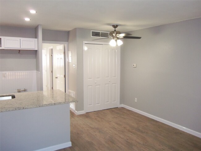
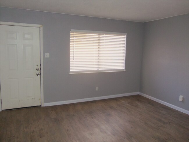
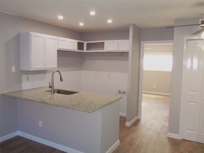
About This Home
---- SCHEDULE A SHOWING ONLINE AT: ----
5217 Tahoe Trail is a condo located in Travis County and the 78745 ZIP Code.
* Price shown is base rent and may not include non-optional fees and utilities.
Price, availability, fees, and any applicable rent special are subject to change without notice.
* Square footage definitions vary. Displayed square footage is approximate.
Location
Get Directions
The Westgate neighborhood, located five miles south of downtown near Highway 71, epitomizes South Austin's comfortable yet hip lifestyle. The small enclave provides big city amenities with a small-town feel.
Often overlooked in favor of more urban locations closer to the city center, Westgate remains one of the last neighborhoods in Austin proper that offers its signature style at a more affordable price point. There’s colorful ranch-style homes and upscale modular apartments that will suit a variety of renter tastes. Though not as walkable as other areas, Westgate still offers many urban comforts, such as coffee shops, diverse restaurants, and specialty boutiques.
Westgate stands out as a safe, well-established community with a distinctly Austin vibe, and should you need to explore the city, it’s just a 20-minute drive away.
Learn more about living in Westgate
Education
| Colleges & Universities | Distance | ||
|---|---|---|---|
| Colleges & Universities | Distance | ||
| Drive: | 2 min | 1.3 mi | |
| Drive: | 7 min | 4.1 mi | |
| Drive: | 10 min | 5.8 mi | |
| Drive: | 11 min | 7.0 mi |
5217 Tahoe Trail is within 2 minutes or 1.3 miles from Austin C.C., South Austin. It is also near St. Edward's University and Austin C.C., Rio Grande Campus.
You May Also Like
Similar Rentals Nearby
-
-
-

-

-
-

-
 $2,2101 Bed, 1 Bath, 528 sq ftApartment for Rent
 -

-

-

What Are Walk Score®, Transit Score®, and Bike Score® Ratings?
Walk Score® measures the walkability of any address. Transit Score® measures access to public transit. Bike Score® measures the bikeability of any address.
What is a Sound Score Rating?
A Sound Score Rating aggregates noise caused by vehicle traffic, airplane traffic and local sources

5217 Tahoe Trail
Austin, TX 78745