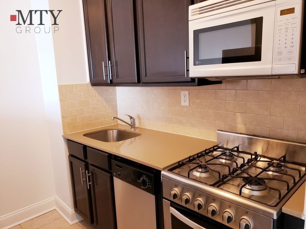
525 E Main St
525 E Main St,
New York,
NY
10044

Check Back Soon for Upcoming Availability
Within the Manhattan borough, you’ll find a quaint little neighborhood known as Riverwalk, which is situated on Roosevelt Island. This secluded yet convenient neighborhood boasts a getaway from big-city living, while remaining just moments from the hustle and bustle of both Manhattan and Queens. The Roosevelt Island Subway Station will take you through both boroughs, but you can also take the Roosevelt Island Ferry or the Ed Koch Queensboro Bridge into either borough.
The neighborhood itself boasts well-kept sidewalks along the river that give breathtaking views of Manhattan’s skyline and the picturesque bridge. In Riverwalk, residents reside in hi-rise apartment buildings, with some office buildings situated in the area as well. Between coffee shops and bistros, Riverwalk has a few conveniences of its own. If you’re wanting to play a game of soccer, lacrosse, or softball, head on over to Firefighters Field, a large greenspace overlooking the East River.
Learn more about living in RiverwalkBelow are rent ranges for similar nearby apartments
| Colleges & Universities | Distance | ||
|---|---|---|---|
| Colleges & Universities | Distance | ||
| Drive: | 11 min | 4.1 mi | |
| Drive: | 12 min | 4.2 mi | |
| Drive: | 12 min | 4.2 mi | |
| Drive: | 12 min | 4.4 mi |
Transportation options available in New York include Roosevelt Island, located 0.1 mile from 525 E Main St. 525 E Main St is near Laguardia, located 5.3 miles or 14 minutes away, and John F Kennedy International, located 16.6 miles or 27 minutes away.
| Transit / Subway | Distance | ||
|---|---|---|---|
| Transit / Subway | Distance | ||
|
|
Walk: | 1 min | 0.1 mi |
|
|
Drive: | 6 min | 1.7 mi |
|
|
Drive: | 10 min | 3.6 mi |
|
|
Drive: | 11 min | 3.8 mi |
| Drive: | 11 min | 4.3 mi |
| Commuter Rail | Distance | ||
|---|---|---|---|
| Commuter Rail | Distance | ||
|
|
Drive: | 8 min | 2.7 mi |
|
|
Drive: | 9 min | 2.7 mi |
|
|
Drive: | 12 min | 4.4 mi |
|
|
Drive: | 13 min | 4.6 mi |
|
|
Drive: | 14 min | 5.3 mi |
| Airports | Distance | ||
|---|---|---|---|
| Airports | Distance | ||
|
Laguardia
|
Drive: | 14 min | 5.3 mi |
|
John F Kennedy International
|
Drive: | 27 min | 16.6 mi |
Time and distance from 525 E Main St.
| Shopping Centers | Distance | ||
|---|---|---|---|
| Shopping Centers | Distance | ||
| Drive: | 10 min | 2.8 mi | |
| Drive: | 9 min | 2.8 mi | |
| Drive: | 13 min | 4.6 mi |
| Parks and Recreation | Distance | ||
|---|---|---|---|
| Parks and Recreation | Distance | ||
|
Queensbridge Park
|
Drive: | 5 min | 1.3 mi |
|
Socrates Sculpture Park
|
Drive: | 6 min | 1.4 mi |
|
Gantry Plaza State Park
|
Drive: | 8 min | 2.4 mi |
|
St. Catherine's Park
|
Drive: | 11 min | 3.8 mi |
|
John Jay Park
|
Drive: | 13 min | 4.8 mi |
| Hospitals | Distance | ||
|---|---|---|---|
| Hospitals | Distance | ||
| Drive: | 12 min | 4.2 mi | |
| Drive: | 13 min | 4.6 mi | |
| Drive: | 13 min | 4.9 mi |
| Military Bases | Distance | ||
|---|---|---|---|
| Military Bases | Distance | ||
| Drive: | 25 min | 10.7 mi | |
| Drive: | 24 min | 11.7 mi |
You May Also Like
Similar Rentals Nearby
What Are Walk Score®, Transit Score®, and Bike Score® Ratings?
Walk Score® measures the walkability of any address. Transit Score® measures access to public transit. Bike Score® measures the bikeability of any address.
What is a Sound Score Rating?
A Sound Score Rating aggregates noise caused by vehicle traffic, airplane traffic and local sources


