
Check Back Soon for Upcoming Availability
| Beds | Baths | Average SF |
|---|---|---|
| 2 Bedrooms 2 Bedrooms 2 Br | 1.25 Bath 1.25 Bath 1.25 Ba | 1,900 SF |
About This Property
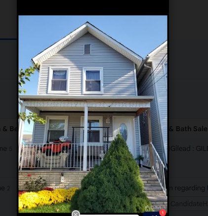
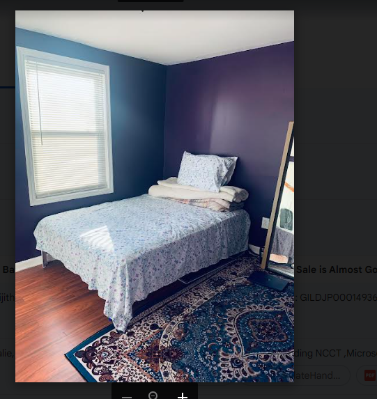
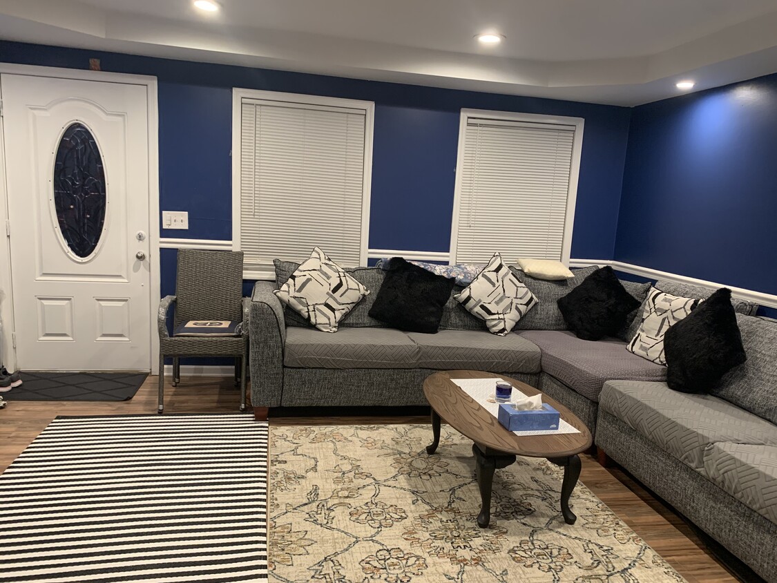
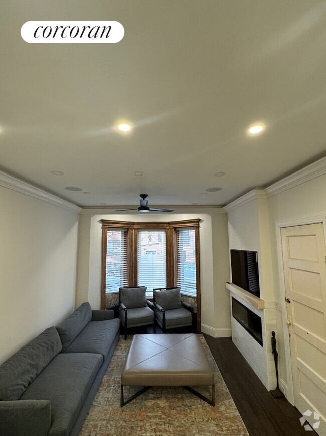
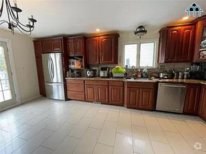
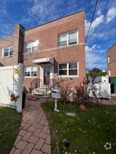
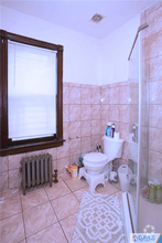
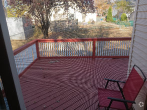
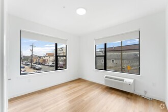
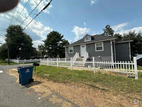
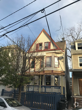
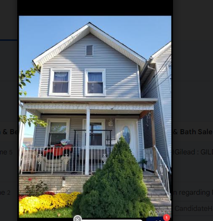
Newly Renovated 2 bedroom and one living room, kitchen, a basement room and one and half bathroom. Divine, semi furnished home available in the heart of Perth Amboy (Downtown) close to major highway. The house comes with the basic amenities and partially furnished. The local bus comes one block close to 1 minute walk and train station is five minutes' drive. Train goes direct to NY and NJ both. Please reach out only if you are looking to find a new divine home with backyard and close to the downtown of Perth Amboy NJ. Please only text me with your details (family size 4 or less and average credit score). NOT ACCEPTABLE: PETS and SMOKING. Please email me with your details and I will send you the contact number as per your eligibility to discuss further.
532 High St is a house located in Middlesex County and the 08861 ZIP Code. This area is served by the Perth Amboy Public attendance zone.
 This Property
 Available Property
| Colleges & Universities | Distance | ||
|---|---|---|---|
| Colleges & Universities | Distance | ||
| Drive: | 17 min | 8.6 mi | |
| Drive: | 25 min | 12.8 mi | |
| Drive: | 24 min | 13.2 mi | |
| Drive: | 22 min | 14.1 mi |
Transportation options available in Perth Amboy include 8Th Street Light Rail Station, located 15.8 miles from 532 High St. 532 High St is near Newark Liberty International, located 21.3 miles or 32 minutes away, and John F Kennedy International, located 38.8 miles or 60 minutes away.
| Transit / Subway | Distance | ||
|---|---|---|---|
| Transit / Subway | Distance | ||
| Drive: | 28 min | 15.8 mi | |
|
|
Drive: | 29 min | 17.0 mi |
|
|
Drive: | 31 min | 17.8 mi |
|
|
Drive: | 34 min | 19.7 mi |
|
|
Drive: | 31 min | 22.5 mi |
| Commuter Rail | Distance | ||
|---|---|---|---|
| Commuter Rail | Distance | ||
|
|
Walk: | 20 min | 1.1 mi |
|
|
Drive: | 9 min | 4.5 mi |
| Drive: | 10 min | 4.7 mi | |
|
|
Drive: | 11 min | 5.3 mi |
|
|
Drive: | 12 min | 5.3 mi |
| Airports | Distance | ||
|---|---|---|---|
| Airports | Distance | ||
|
Newark Liberty International
|
Drive: | 32 min | 21.3 mi |
|
John F Kennedy International
|
Drive: | 60 min | 38.8 mi |
Time and distance from 532 High St.
| Shopping Centers | Distance | ||
|---|---|---|---|
| Shopping Centers | Distance | ||
| Drive: | 5 min | 1.8 mi | |
| Drive: | 9 min | 4.2 mi | |
| Drive: | 10 min | 4.5 mi |
| Parks and Recreation | Distance | ||
|---|---|---|---|
| Parks and Recreation | Distance | ||
|
Alvin P. Williams Memorial Park
|
Walk: | 16 min | 0.9 mi |
|
William Warren Park
|
Drive: | 8 min | 2.9 mi |
|
Clay Pit Ponds State Park Preserve
|
Drive: | 13 min | 5.6 mi |
|
Long Pond Park Preserve
|
Drive: | 13 min | 5.7 mi |
|
Conference House Park
|
Drive: | 14 min | 6.1 mi |
| Hospitals | Distance | ||
|---|---|---|---|
| Hospitals | Distance | ||
| Drive: | 4 min | 1.6 mi | |
| Drive: | 15 min | 8.0 mi | |
| Drive: | 18 min | 10.0 mi |
| Military Bases | Distance | ||
|---|---|---|---|
| Military Bases | Distance | ||
| Drive: | 27 min | 13.2 mi | |
| Drive: | 24 min | 13.6 mi |
You May Also Like
Similar Rentals Nearby
-
-
-
$3,6003 Beds, 3 Baths, 1,795 sq ftHouse for Rent
-
-
-
-
$3,0003 Beds, 1 Bath, 1,600 sq ftHouse for Rent
-
-
-
What Are Walk Score®, Transit Score®, and Bike Score® Ratings?
Walk Score® measures the walkability of any address. Transit Score® measures access to public transit. Bike Score® measures the bikeability of any address.
What is a Sound Score Rating?
A Sound Score Rating aggregates noise caused by vehicle traffic, airplane traffic and local sources
