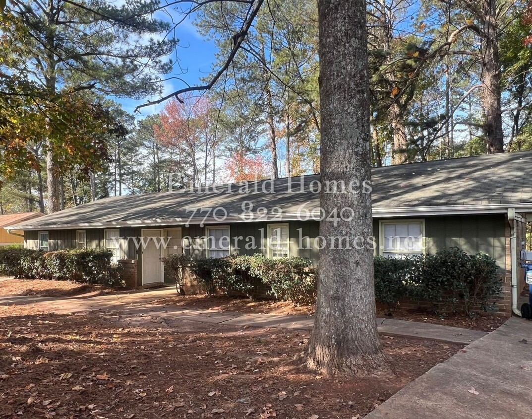
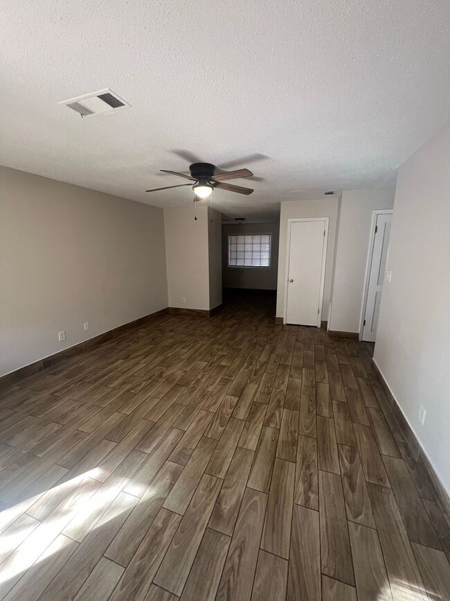
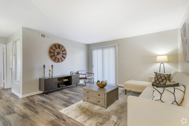
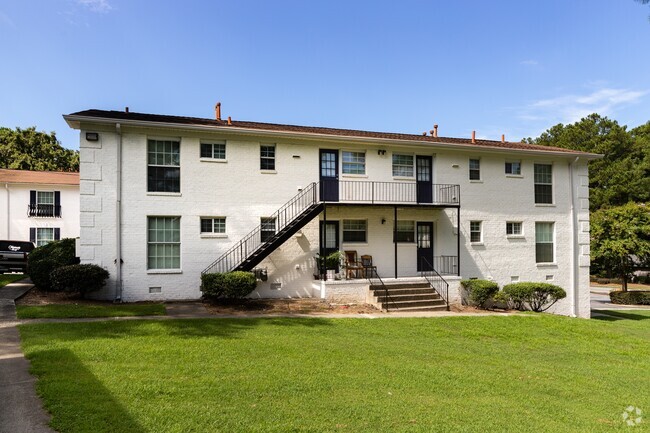
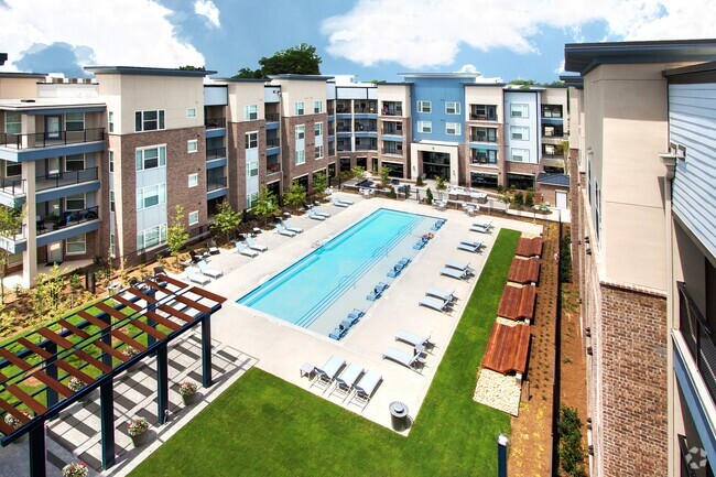
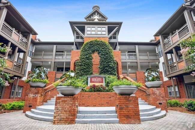
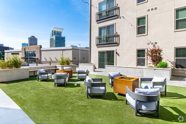
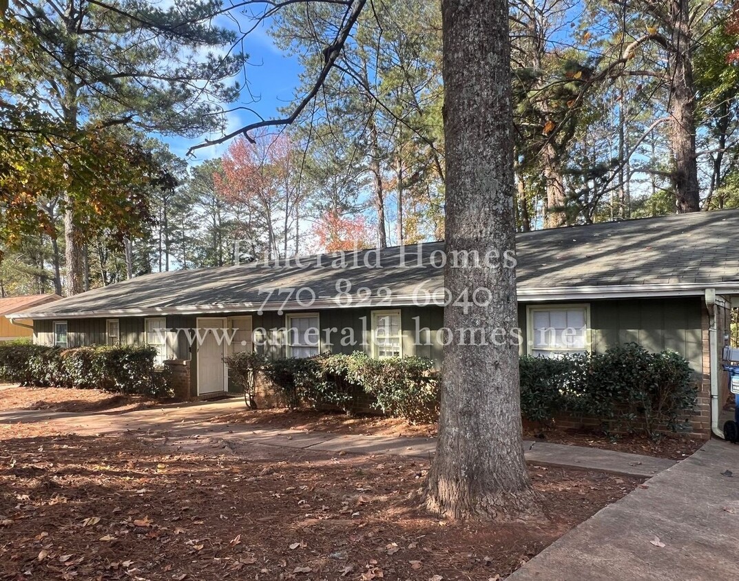
5333 Bishops Cir Unit 5333 - B Bishops Circle
Norcross, GA 30093

-
Monthly Rent
$1,399
-
Bedrooms
2 bd
-
Bathrooms
1 ba
-
Square Feet
1,106 sq ft
Details

 This Property
 Available Property
Norcross is a small suburban community located about 30 minutes northeast of downtown Atlanta. Three of the region’s major thoroughfares (Interstate 85, Buford Highway, and Peachtree Industrial Boulevard) connect Norcross to Atlanta proper, giving folks easy access to the larger city for work or leisure. While mainly residential, Norcross does feature an attractive downtown area filled with unique shops and eateries, and residents enjoy prime access to the international restaurants and grocery stores along Buford Highway.
The city bills itself as “a place to imagine,” and the environment is certainly conducive to creativity: Between the libraries, the art centers, the concerts at Thrasher Park, and the stage productions of the local theater company, it’s a great atmosphere for folks who appreciate stimulating culture in a low-key setting.
Learn more about living in Norcross| Colleges & Universities | Distance | ||
|---|---|---|---|
| Colleges & Universities | Distance | ||
| Drive: | 15 min | 10.2 mi | |
| Drive: | 19 min | 11.0 mi | |
| Drive: | 22 min | 11.5 mi | |
| Drive: | 20 min | 11.6 mi |
Transportation options available in Norcross include Doraville, located 7.7 miles from 5333 Bishops Cir Unit 5333 - B Bishops Circle. 5333 Bishops Cir Unit 5333 - B Bishops Circle is near Hartsfield - Jackson Atlanta International, located 29.5 miles or 42 minutes away.
| Transit / Subway | Distance | ||
|---|---|---|---|
| Transit / Subway | Distance | ||
|
|
Drive: | 14 min | 7.7 mi |
|
|
Drive: | 16 min | 9.5 mi |
|
|
Drive: | 18 min | 11.8 mi |
|
|
Drive: | 21 min | 13.4 mi |
|
|
Drive: | 25 min | 17.7 mi |
| Commuter Rail | Distance | ||
|---|---|---|---|
| Commuter Rail | Distance | ||
|
|
Drive: | 24 min | 16.7 mi |
|
|
Drive: | 42 min | 35.9 mi |
| Airports | Distance | ||
|---|---|---|---|
| Airports | Distance | ||
|
Hartsfield - Jackson Atlanta International
|
Drive: | 42 min | 29.5 mi |
Time and distance from 5333 Bishops Cir Unit 5333 - B Bishops Circle.
| Shopping Centers | Distance | ||
|---|---|---|---|
| Shopping Centers | Distance | ||
| Walk: | 19 min | 1.0 mi | |
| Walk: | 20 min | 1.0 mi | |
| Drive: | 3 min | 1.1 mi |
| Parks and Recreation | Distance | ||
|---|---|---|---|
| Parks and Recreation | Distance | ||
|
Lions Club Park
|
Drive: | 7 min | 2.8 mi |
|
Lucky Shoals Park
|
Drive: | 8 min | 3.1 mi |
|
Graves Park
|
Drive: | 7 min | 3.6 mi |
|
Best Friend Park
|
Drive: | 9 min | 4.6 mi |
|
Club Drive Park
|
Drive: | 11 min | 5.4 mi |
| Hospitals | Distance | ||
|---|---|---|---|
| Hospitals | Distance | ||
| Drive: | 20 min | 11.7 mi | |
| Drive: | 17 min | 12.4 mi |
| Military Bases | Distance | ||
|---|---|---|---|
| Military Bases | Distance | ||
| Drive: | 37 min | 24.4 mi | |
| Drive: | 40 min | 25.1 mi |
You May Also Like
Similar Rentals Nearby
What Are Walk Score®, Transit Score®, and Bike Score® Ratings?
Walk Score® measures the walkability of any address. Transit Score® measures access to public transit. Bike Score® measures the bikeability of any address.
What is a Sound Score Rating?
A Sound Score Rating aggregates noise caused by vehicle traffic, airplane traffic and local sources
