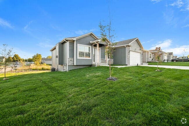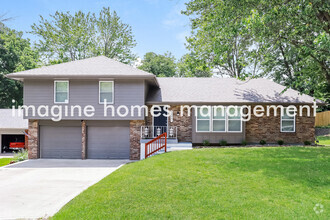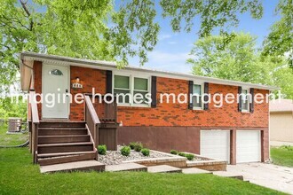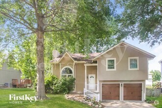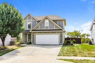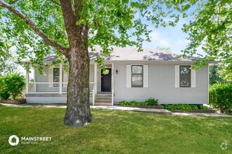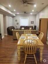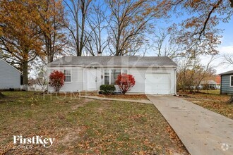

Check Back Soon for Upcoming Availability
| Beds | Baths | Average SF |
|---|---|---|
| 3 Bedrooms 3 Bedrooms 3 Br | 2 Baths 2 Baths 2 Ba | — |
 This Property
 Available Property
The small city of Liberty is a cozy suburban city positioned just outside the northeastern corner of Kansas City, about fifteen miles from the Power and Light District. While largely serving as a residential suburb for its larger neighbor, Liberty hosts a thriving shopping, dining, and entertainment scene of its own: a large cluster of shopping centers on the west side offers a huge selection of major chain stores, while the Downtown district surrounding the historic Clay County Courthouse features a diverse selection of charming coffeehouses, taverns, specialty shops, and other locally-owned businesses in the vintage storefronts.
The diverse rental market features a terrific selection of apartments, condos, and houses to fit any budget, and the great schools and low crime rate have helped make Liberty one of the Kansas City area’s most desirable communities among folks raising families.
Learn more about living in Liberty| Colleges & Universities | Distance | ||
|---|---|---|---|
| Colleges & Universities | Distance | ||
| Drive: | 22 min | 12.2 mi | |
| Drive: | 30 min | 19.5 mi | |
| Drive: | 32 min | 20.2 mi | |
| Drive: | 31 min | 21.3 mi |
Transportation options available in Liberty include River Market North On 3Rd St At Grand Wb, located 15.6 miles from 536 Sharon Dr. 536 Sharon Dr is near Kansas City International, located 20.5 miles or 29 minutes away.
| Transit / Subway | Distance | ||
|---|---|---|---|
| Transit / Subway | Distance | ||
| Drive: | 23 min | 15.6 mi | |
| Drive: | 23 min | 15.7 mi | |
| Drive: | 23 min | 15.8 mi | |
| Drive: | 23 min | 16.2 mi | |
| Drive: | 24 min | 16.4 mi |
| Commuter Rail | Distance | ||
|---|---|---|---|
| Commuter Rail | Distance | ||
|
|
Drive: | 23 min | 12.7 mi |
|
|
Drive: | 27 min | 17.9 mi |
|
|
Drive: | 37 min | 24.3 mi |
| Airports | Distance | ||
|---|---|---|---|
| Airports | Distance | ||
|
Kansas City International
|
Drive: | 29 min | 20.5 mi |
Time and distance from 536 Sharon Dr.
| Shopping Centers | Distance | ||
|---|---|---|---|
| Shopping Centers | Distance | ||
| Drive: | 3 min | 1.5 mi | |
| Drive: | 4 min | 1.6 mi | |
| Drive: | 5 min | 2.2 mi |
| Parks and Recreation | Distance | ||
|---|---|---|---|
| Parks and Recreation | Distance | ||
|
Martha Lafite Nature Sanctuary
|
Drive: | 9 min | 3.5 mi |
|
Shoal Creek Living History Museum
|
Drive: | 12 min | 7.5 mi |
|
Harry S Truman National Historic Site
|
Drive: | 20 min | 11.8 mi |
|
Richard Berkley Riverfront Park
|
Drive: | 23 min | 13.0 mi |
|
Frank Vaydik Park
|
Drive: | 22 min | 14.4 mi |
| Hospitals | Distance | ||
|---|---|---|---|
| Hospitals | Distance | ||
| Drive: | 9 min | 5.0 mi | |
| Drive: | 20 min | 12.4 mi |
| Military Bases | Distance | ||
|---|---|---|---|
| Military Bases | Distance | ||
| Drive: | 52 min | 34.2 mi |
You May Also Like
Similar Rentals Nearby
-
-
-
-
$1,7554 Beds, 3 Baths, 1,920 sq ftHouse for Rent
-
$1,8353 Beds, 1.5 Baths, 1,215 sq ftHouse for Rent
-
$2,0853 Beds, 2.5 Baths, 1,888 sq ftHouse for Rent
-
$2,5503 Beds, 3 Baths, 2,734 sq ftHouse for Rent
-
$1,9253 Beds, 2.5 Baths, 1,668 sq ftHouse for Rent
-
-
What Are Walk Score®, Transit Score®, and Bike Score® Ratings?
Walk Score® measures the walkability of any address. Transit Score® measures access to public transit. Bike Score® measures the bikeability of any address.
What is a Sound Score Rating?
A Sound Score Rating aggregates noise caused by vehicle traffic, airplane traffic and local sources


