
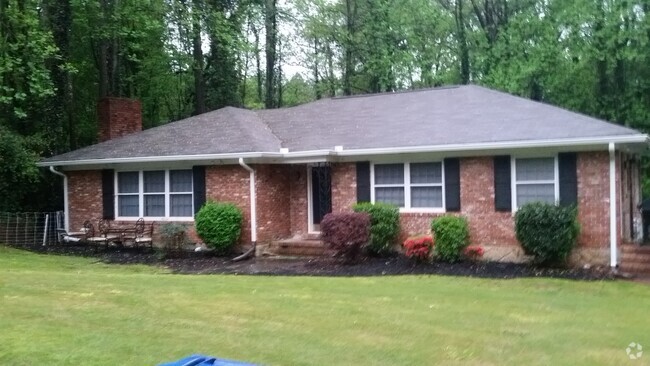
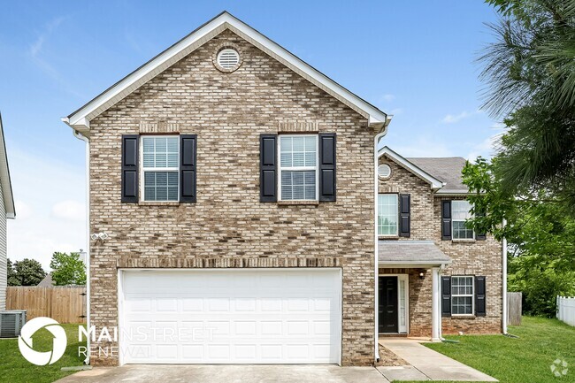
5456 Vanity Joys Ln
5456 Vanity Joys Ln
Ellenwood, GA 30294
2 Weeks Ago
Favorites
5456 Vanity Joys Ln

Favorites
Check Back Soon for Upcoming Availability
| Beds | Baths | Average SF |
|---|---|---|
| 4 Bedrooms 4 Bedrooms 4 Br | 2.5 Baths 2.5 Baths 2.5 Ba | — |
Location
Get Directions
Ellenwood is a southeast suburb of Atlanta nestled along Interstate 675. With obvious commuter benefits, Ellenwood is a quick 10 miles east of the Hartsfield-Jackson International Airport, and is about 15 miles southeast of Downtown Atlanta. Ellenwood is filled with winding suburban streets and several industrial centers. The Ellenwood Town Center features a few restaurants, shops, and supermarkets, and there are a few community parks and playgrounds around town.
Ellenwood sits near Clayton State University and Panola Mountain State Park in Stockbridge. So though this city is mainly industrial and residential, there are plenty of amenities and attractions nearby. Residents appreciate Ellenwood’s proximity to Downtown Atlanta and the city’s affordable rental rates in comparison to central and north Atlanta.
Learn more about living in Ellenwood
Education
| Colleges & Universities | Distance | ||
|---|---|---|---|
| Colleges & Universities | Distance | ||
| Drive: | 11 min | 5.1 mi | |
| Drive: | 19 min | 7.2 mi | |
| Drive: | 26 min | 13.9 mi | |
| Drive: | 30 min | 14.6 mi |
5456 Vanity Joys Ln is within 11 minutes or 5.1 miles from Clayton State University. It is also near Georgia Perim. Coll., Decatur and Atlanta Metropolitan State.
Transportation options available in Ellenwood include East Point, located 13.2 miles from 5456 Vanity Joys Ln. 5456 Vanity Joys Ln is near Hartsfield - Jackson Atlanta International, located 10.7 miles or 23 minutes away.
| Transit / Subway | Distance | ||
|---|---|---|---|
| Transit / Subway | Distance | ||
|
|
Drive: | 28 min | 13.2 mi |
|
|
Drive: | 27 min | 13.5 mi |
|
|
Drive: | 28 min | 14.0 mi |
|
|
Drive: | 27 min | 15.1 mi |
|
|
Drive: | 28 min | 17.8 mi |
| Commuter Rail | Distance | ||
|---|---|---|---|
| Commuter Rail | Distance | ||
|
|
Drive: | 32 min | 18.4 mi |
| Airports | Distance | ||
|---|---|---|---|
| Airports | Distance | ||
|
Hartsfield - Jackson Atlanta International
|
Drive: | 23 min | 10.7 mi |
Time and distance from 5456 Vanity Joys Ln.
| Shopping Centers | Distance | ||
|---|---|---|---|
| Shopping Centers | Distance | ||
| Drive: | 6 min | 2.2 mi | |
| Drive: | 6 min | 2.5 mi | |
| Drive: | 8 min | 4.1 mi |
5456 Vanity Joys Ln has 3 shopping centers within 4.1 miles, which is about a 8-minute drive. The miles and minutes will be for the farthest away property.
| Parks and Recreation | Distance | ||
|---|---|---|---|
| Parks and Recreation | Distance | ||
|
Ferns of the World Garden
|
Drive: | 16 min | 6.6 mi |
|
Panola Mountain State Park
|
Drive: | 16 min | 7.4 mi |
|
Newman Wetlands Center
|
Drive: | 31 min | 14.0 mi |
5456 Vanity Joys Ln has 3 parks within 14.0 miles, including Ferns of the World Garden, Panola Mountain State Park, and Newman Wetlands Center.
| Hospitals | Distance | ||
|---|---|---|---|
| Hospitals | Distance | ||
| Drive: | 17 min | 7.0 mi | |
| Drive: | 18 min | 9.2 mi | |
| Drive: | 16 min | 10.9 mi |
5456 Vanity Joys Ln has 3 hospitals within 10.9 miles, the nearest is Georgia Regional Hospital Atlanta which is 7.0 miles away and a 17 minute drive.
| Military Bases | Distance | ||
|---|---|---|---|
| Military Bases | Distance | ||
| Drive: | 11 min | 4.8 mi | |
| Drive: | 28 min | 15.3 mi |
5456 Vanity Joys Ln is 4.8 miles from Fort Gillem, and is convenient to other military bases, including Fort McPherson.
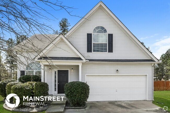
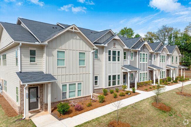
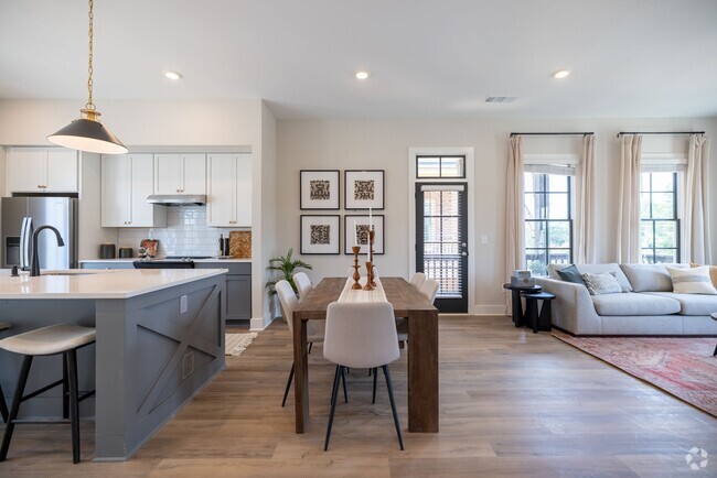
You May Also Like
Similar Rentals Nearby
-
-
-
1 / 28
-
-
-
1 / 38
-
-
-
-
What Are Walk Score®, Transit Score®, and Bike Score® Ratings?
Walk Score® measures the walkability of any address. Transit Score® measures access to public transit. Bike Score® measures the bikeability of any address.
What is a Sound Score Rating?
A Sound Score Rating aggregates noise caused by vehicle traffic, airplane traffic and local sources
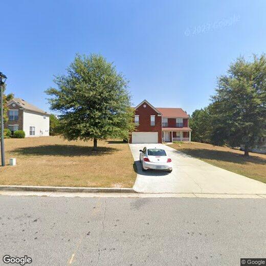
5456 Vanity Joys Ln
Ellenwood, GA 30294