546 W High St Unit 1
Pottstown, PA 19464
-
Bedrooms
2
-
Bathrooms
1
-
Square Feet
--
-
Available
Available Now

About This Home
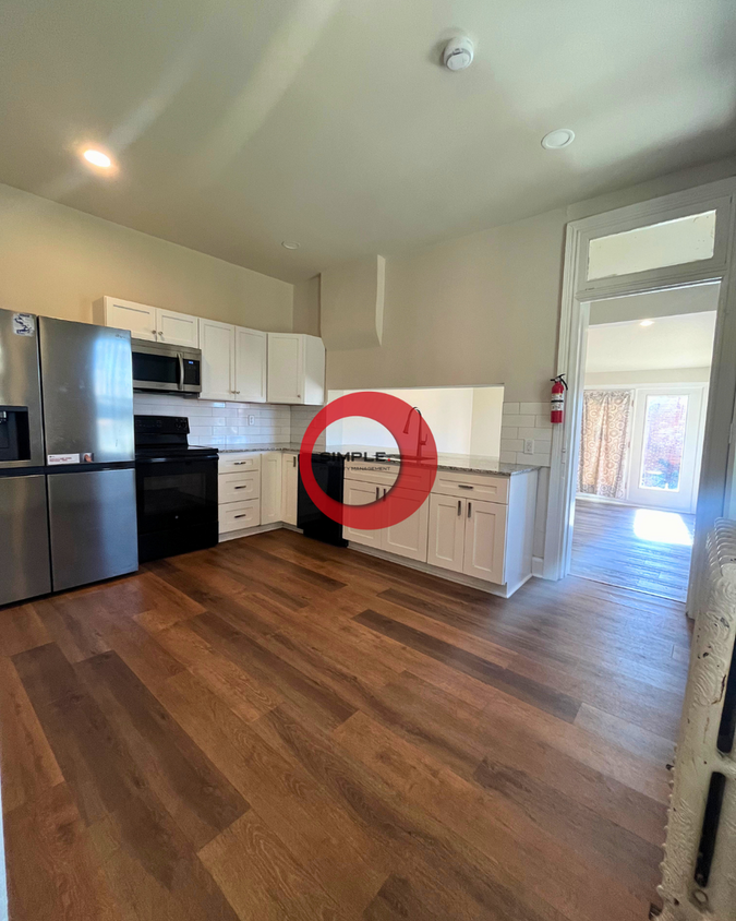
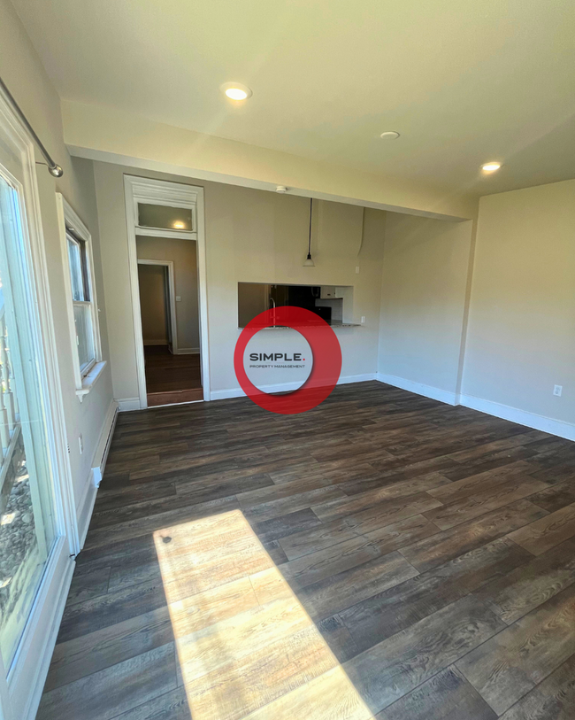
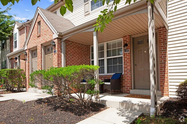
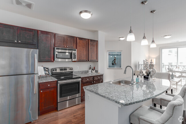
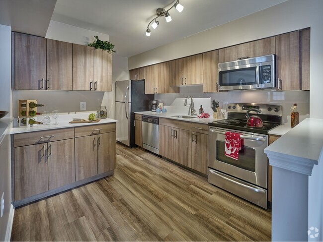
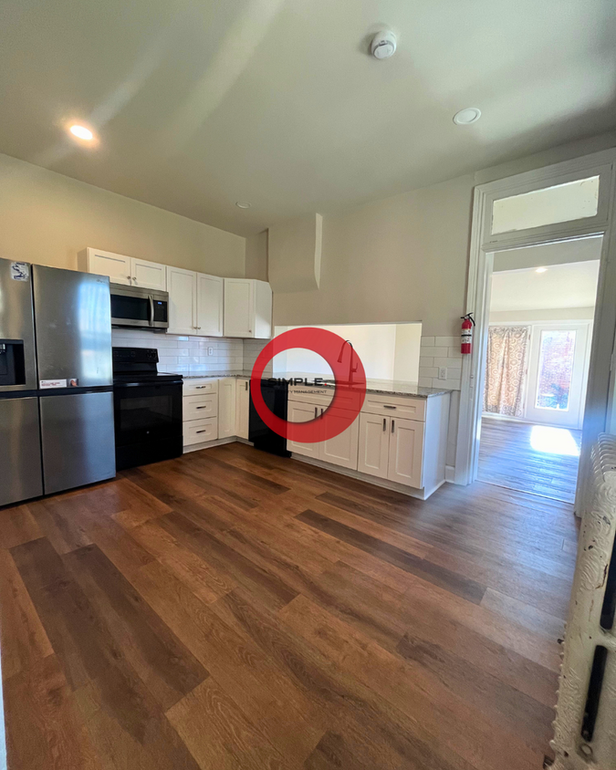
Explore your new rental in Pottstown, PA. Located at 546 W High St in Pottstown, this rental has much to offer. End your search and find your new home. To learn more about this property, contact us.
546 W High St is an apartment community located in Montgomery County and the 19464 ZIP Code.
Contact
- Listed by Simple | Simple Property Management Group LLC
- Phone Number
- Contact
Resting along the Schuylkill River, Pottstown is a small borough about 30 minutes from Reading and one hour from Philadelphia. Pottstown feels suburban with single-family homes on crisp lawns along tree-lined streets, and an abundance of convenient amenities.
Residents enjoy a variety of shopping and dining options. Upland Square on the edge of town offers several big-box stores, chain restaurants, and a movie theater. There are several small plazas across the town featuring local eateries, unique shops, and national stores.
Located in a verdant valley, Pottstown offers gorgeous natural areas great for outdoor recreation. Memorial Park is great for families and sports lovers with lighted ball fields, a skate park, a BMX track, a splash pad, and a playground. Visit the Pottstown Riverfront Park is a local favorite for kayaking and hiking.
Learn more about living in Pottstown| Colleges & Universities | Distance | ||
|---|---|---|---|
| Colleges & Universities | Distance | ||
| Drive: | 2 min | 1.3 mi | |
| Drive: | 23 min | 14.3 mi | |
| Drive: | 30 min | 16.6 mi | |
| Drive: | 28 min | 16.9 mi |
Transportation options available in Pottstown include Norristown Transportation Center (100 Line), located 23.1 miles from 546 W High St Unit 1. 546 W High St Unit 1 is near Lehigh Valley International, located 35.3 miles or 62 minutes away, and Philadelphia International, located 49.1 miles or 72 minutes away.
| Transit / Subway | Distance | ||
|---|---|---|---|
| Transit / Subway | Distance | ||
|
|
Drive: | 37 min | 23.1 mi |
|
|
Drive: | 38 min | 26.0 mi |
|
|
Drive: | 39 min | 26.5 mi |
|
|
Drive: | 40 min | 26.7 mi |
|
|
Drive: | 39 min | 26.8 mi |
| Commuter Rail | Distance | ||
|---|---|---|---|
| Commuter Rail | Distance | ||
|
|
Drive: | 35 min | 19.3 mi |
|
|
Drive: | 33 min | 19.5 mi |
|
|
Drive: | 36 min | 20.5 mi |
|
|
Drive: | 37 min | 20.6 mi |
|
|
Drive: | 36 min | 20.7 mi |
| Airports | Distance | ||
|---|---|---|---|
| Airports | Distance | ||
|
Lehigh Valley International
|
Drive: | 62 min | 35.3 mi |
|
Philadelphia International
|
Drive: | 72 min | 49.1 mi |
Time and distance from 546 W High St Unit 1.
| Shopping Centers | Distance | ||
|---|---|---|---|
| Shopping Centers | Distance | ||
| Walk: | 17 min | 0.9 mi | |
| Walk: | 21 min | 1.1 mi | |
| Drive: | 3 min | 1.4 mi |
| Parks and Recreation | Distance | ||
|---|---|---|---|
| Parks and Recreation | Distance | ||
|
Welkinweir Gardens
|
Drive: | 13 min | 7.9 mi |
|
Crow's Nest Preserve
|
Drive: | 19 min | 9.1 mi |
|
Warwick County Park
|
Drive: | 17 min | 9.7 mi |
|
Hopewell Furnace National Historic Site
|
Drive: | 21 min | 12.2 mi |
|
French Creek State Park
|
Drive: | 25 min | 12.5 mi |
| Hospitals | Distance | ||
|---|---|---|---|
| Hospitals | Distance | ||
| Drive: | 8 min | 4.8 mi | |
| Drive: | 14 min | 9.4 mi |
| Military Bases | Distance | ||
|---|---|---|---|
| Military Bases | Distance | ||
| Drive: | 63 min | 45.3 mi | |
| Drive: | 67 min | 47.2 mi |
You May Also Like
Similar Rentals Nearby
What Are Walk Score®, Transit Score®, and Bike Score® Ratings?
Walk Score® measures the walkability of any address. Transit Score® measures access to public transit. Bike Score® measures the bikeability of any address.
What is a Sound Score Rating?
A Sound Score Rating aggregates noise caused by vehicle traffic, airplane traffic and local sources
