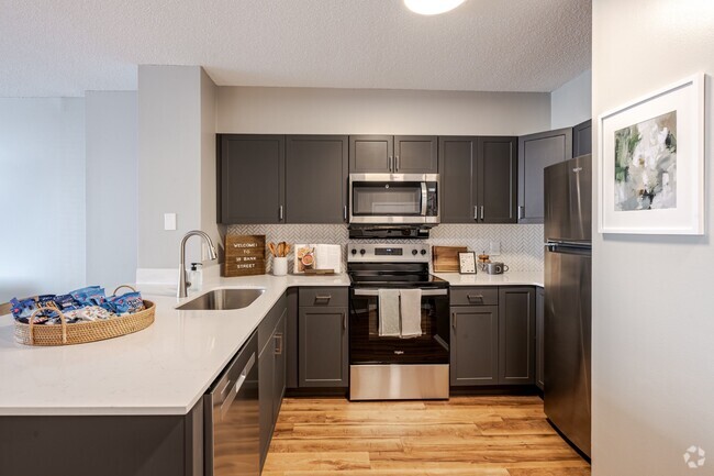
Property Image Coming Soon

55-57 Sand St
55-57 Sand St,
Garnerville,
NY
10923
2 Weeks Ago
Favorites
55-57 Sand St
Favorites
Check Back Soon for Upcoming Availability
| Beds | Baths | Average SF | Availability |
|---|---|---|---|
| 1 Bedroom 1 Bedroom 1 Br | 1 Bath 1 Bath 1 Ba | 708 SF | Not Available |
About 55-57 Sand St Garnerville, NY 10923
Enjoy Garnerville living at 55-57 Sand St. This community is located in the 10923 area of Garnerville. From amenities to floor plan options, the leasing team is available to help you find your new place. Stop by the leasing office to see everything we have to offer.
55-57 Sand St is an apartment community located in Rockland County and the 10923 ZIP Code. This area is served by the Haverstraw-Stony Point Central School District (North Rockland) attendance zone.
Fees and Policies
Details
Property Information
-
Built in 1950
-
6 units
Location
Get Directions
Garnerville is a hamlet located in the Town of Haverstraw Rockland County, just south of Bear Mountain State Park and west of the Hudson River. Students in Garnerville are served by the North Rockland Central School District. There are many restaurants along Ramapo Road and West Railroad Avenue. Also along West Railroad Avenue is Industrial Arts Brewing Company.
If hiking is your passion, then you’re in luck! Garnerville is surrounded by parks with scenic hiking trails and campsites. Garnerville is a short half-hour drive to White Plains and all of its shopping and dining destinations.
Learn more about living in Garnerville
Education
| Colleges & Universities | Distance | ||
|---|---|---|---|
| Colleges & Universities | Distance | ||
| Drive: | 15 min | 8.3 mi | |
| Drive: | 17 min | 10.6 mi | |
| Drive: | 19 min | 13.2 mi | |
| Drive: | 35 min | 23.4 mi |
55-57 Sand St is within 15 minutes or 8.3 miles from SUNY Rockland. It is also near Nyack College and Pace University, Briarcliff.
Schools


Public Elementary School
Grades 4-6
569 Students
Attendance Zone
Public Elementary School
Grades PK-5
338 Students
Nearby
Public Elementary School
Grades K-3
742 Students
Attendance Zone
Public Middle School
Grades 7-8
1,247 Students
Attendance Zone
Public High School
Grades 9-12
2,687 Students
Attendance Zone
Private Elementary & Middle School
Grades PK-8
316 Students
Nearby
Private Elementary & Middle School
Grades PK-8
211 Students
Nearby
Private High School
Grades 9-12
101 Students
Nearby
School data provided by
 The GreatSchools Rating helps parents compare schools within a state based on a variety of school quality indicators and provides a helpful picture of how effectively each school serves all of its students. Ratings are on a scale of 1 (below average) to 10 (above average) and can include test scores, college readiness, academic progress, advanced courses, equity, discipline and attendance data. We also advise parents to visit schools, consider other information on school performance and programs, and consider family needs as part of the school selection process.
View GreatSchools Rating Methodology
View GreatSchools Rating Methodology
Transportation options available in Garnerville include Wakefield-241 Street, located 29.6 miles from 55-57 Sand St. 55-57 Sand St is near Westchester County, located 29.0 miles or 40 minutes away, and New York Stewart International, located 30.0 miles or 45 minutes away.
| Transit / Subway | Distance | ||
|---|---|---|---|
| Transit / Subway | Distance | ||
|
|
Drive: | 39 min | 29.6 mi |
|
|
Drive: | 38 min | 29.6 mi |
|
|
Drive: | 40 min | 30.0 mi |
|
|
Drive: | 39 min | 30.1 mi |
|
|
Drive: | 41 min | 30.6 mi |
| Commuter Rail | Distance | ||
|---|---|---|---|
| Commuter Rail | Distance | ||
|
|
Drive: | 13 min | 8.0 mi |
|
|
Drive: | 23 min | 16.6 mi |
|
|
Drive: | 31 min | 19.7 mi |
|
|
Drive: | 35 min | 23.5 mi |
|
|
Drive: | 35 min | 24.1 mi |
| Airports | Distance | ||
|---|---|---|---|
| Airports | Distance | ||
|
Westchester County
|
Drive: | 40 min | 29.0 mi |
|
New York Stewart International
|
Drive: | 45 min | 30.0 mi |
Time and distance from 55-57 Sand St.
| Shopping Centers | Distance | ||
|---|---|---|---|
| Shopping Centers | Distance | ||
| Walk: | 5 min | 0.3 mi | |
| Walk: | 10 min | 0.6 mi | |
| Drive: | 2 min | 1.5 mi |
55-57 Sand St has 3 shopping centers within 1.5 miles, which is about a 2-minute walk. The miles and minutes will be for the farthest away property.
| Parks and Recreation | Distance | ||
|---|---|---|---|
| Parks and Recreation | Distance | ||
|
High Tor State Park
|
Drive: | 14 min | 2.6 mi |
|
Rockland Lake State Park
|
Drive: | 11 min | 6.6 mi |
|
Harriman State Park (NY)
|
Drive: | 17 min | 9.4 mi |
|
Montrose Point State Forest
|
Drive: | 31 min | 19.4 mi |
|
Croton Point Nature Center
|
Drive: | 34 min | 24.2 mi |
55-57 Sand St has 5 parks within 24.2 miles, including High Tor State Park, Rockland Lake State Park, and Harriman State Park (NY).
| Hospitals | Distance | ||
|---|---|---|---|
| Hospitals | Distance | ||
| Drive: | 2 min | 1.7 mi | |
| Drive: | 14 min | 9.8 mi | |
| Drive: | 18 min | 11.6 mi |
55-57 Sand St has 3 hospitals within 11.6 miles, the nearest is Helen Hayes Hospital which is 1.7 miles away and a 2 minute drive.
| Military Bases | Distance | ||
|---|---|---|---|
| Military Bases | Distance | ||
| Drive: | 18 min | 14.0 mi | |
| Drive: | 30 min | 19.0 mi |
55-57 Sand St is 14.0 miles from Camp Smith NY State Military, and is convenient to other military bases, including West Point Military Reserve.
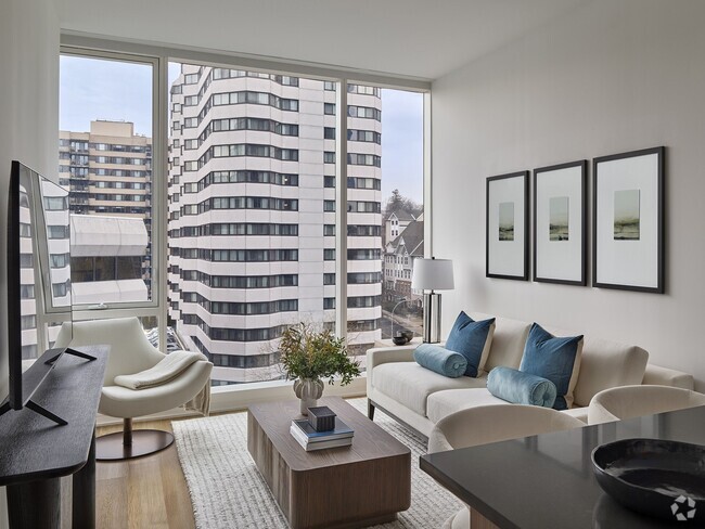
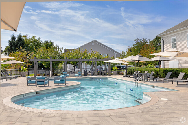
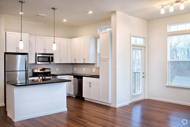
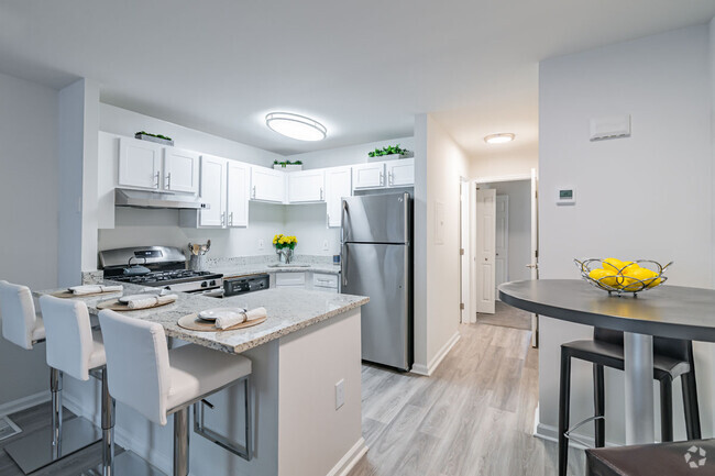
You May Also Like
Similar Rentals Nearby
-
-
-
-
-
-
1 / 26
-
-
-
-


What Are Walk Score®, Transit Score®, and Bike Score® Ratings?
Walk Score® measures the walkability of any address. Transit Score® measures access to public transit. Bike Score® measures the bikeability of any address.
What is a Sound Score Rating?
A Sound Score Rating aggregates noise caused by vehicle traffic, airplane traffic and local sources
Responded To This Review