
$1,995 / Month
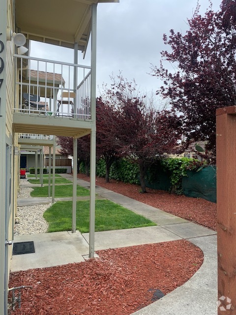
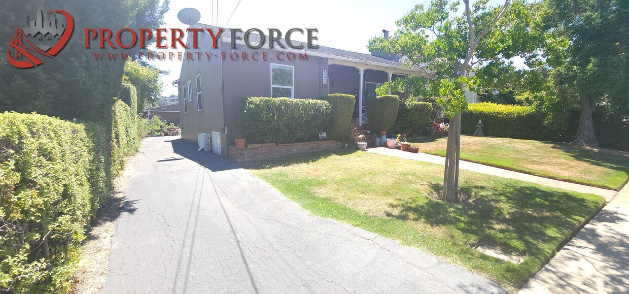
561 29th Ave
San Mateo, CA 94403
2 Weeks Ago
Favorites
561 29th Ave

Favorites
Check Back Soon for Upcoming Availability
| Beds | Baths | Average SF |
|---|---|---|
| Studio Studio 0 Br | 1 Bath 1 Bath 1 Ba | 586 SF |
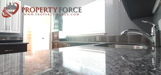
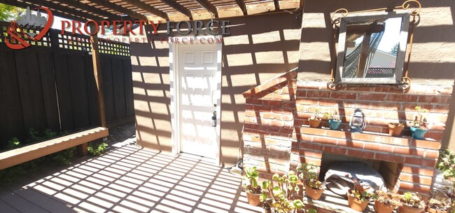
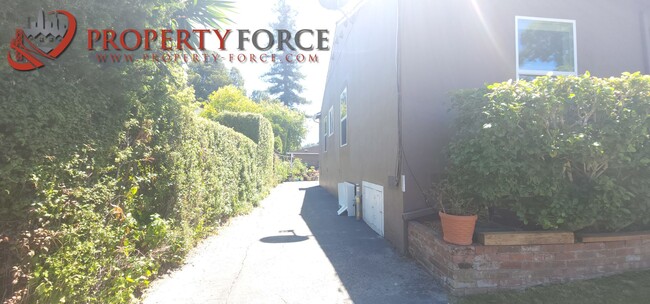
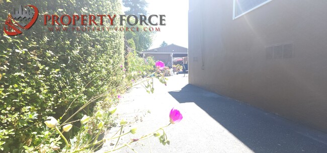
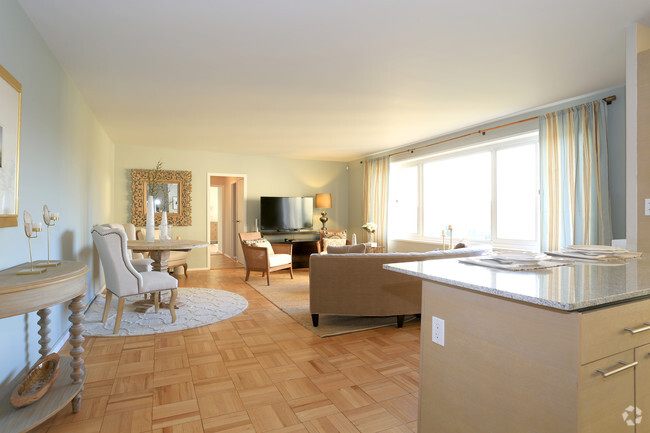
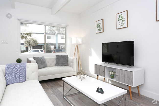
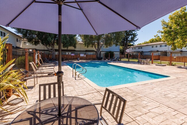
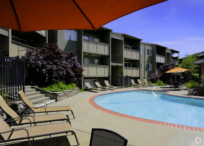
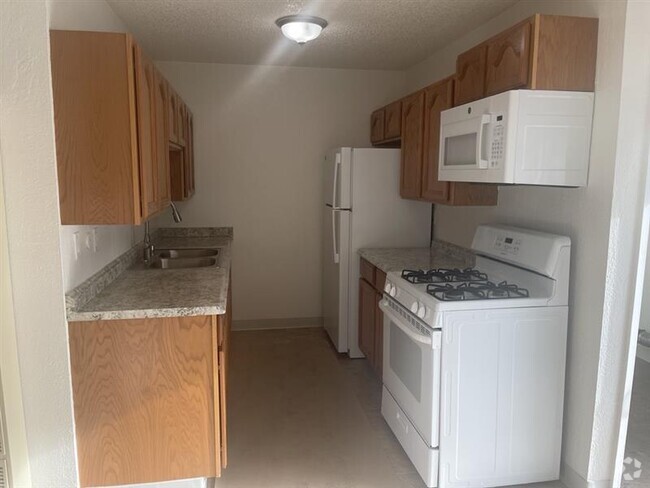
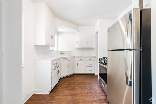
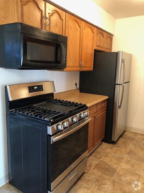
About This Property
Check out this terrific property in San Mateo, CA. Renting at this 561 29th Ave location in San Mateo, you'll have convenient access to a number of popular destinations. Stop your search and get to moving. Let us assist you! Contact us now to discuss the next steps!
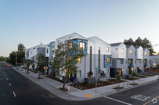
561 29th Ave is a townhome located in San Mateo County and the 94403 ZIP Code. This area is served by the San Mateo-Foster City attendance zone.
Property Address:
561 29th Ave,
San Mateo,
CA
94403
Great schools, excellent shopping, and the Peninsula Golf and Country Club provide reasons for renters to flock to the Beresford Park neighborhood of San Mateo. Condos and apartments tend to sit along the neighborhood's major boulevards, providing easy access to Interstates 92 and 101 for commutes up and down the San Francisco peninsula. Many residents of Beresford Park commute by train, as the CalTrain station sits right in the neighborhood.
This family-friendly community heads to Beresford Park, from which the neighborhood takes its name, to play sports, fire up a barbecue, and enjoy the community garden. This park features a wealth of activities, so you can join your neighbors at Pilates, Zumba, and art classes. Convenient shopping at the Hilldale Shopping Center gives you access to Nordstrom and Barnes & Noble, among other popular stores.
Learn more about living in Beresford ParkBelow are rent ranges for similar nearby apartments
Education
| Colleges & Universities | Distance | ||
|---|---|---|---|
| Colleges & Universities | Distance | ||
| Drive: | 4 min | 1.9 mi | |
| Drive: | 17 min | 10.6 mi | |
| Drive: | 19 min | 11.8 mi | |
| Drive: | 22 min | 14.7 mi |
561 29th Ave is within 4 minutes or 1.9 miles from College of San Mateo. It is also near Canada College and Menlo College.
Schools
Public Elementary School
Grades K-5
Nearby
Public Elementary School
Grades K-5
254 Students
Attendance Zone
5
Out of 10
Public Middle School
Grades 6-8
745 Students
Attendance Zone
6
Out of 10
Public High School
Grades 9-12
1,629 Students
Attendance Zone
7
Out of 10
Private Elementary, Middle & High School
Grades PK-12
80 Students
Nearby
Private Elementary & Middle School
Grades K-8
37 Students
Nearby
Private High School
Grades 9-12
804 Students
Nearby
School data provided by
GreatSchools
The GreatSchools Rating helps parents compare schools within a state based on a variety of school quality indicators and provides a helpful picture of how effectively each school serves all of its students. Ratings are on a scale of 1 (below average) to 10 (above average) and can include test scores, college readiness, academic progress, advanced courses, equity, discipline and attendance data. We also advise parents to visit schools, consider other information on school performance and programs, and consider family needs as part of the school selection process.
Transportation options available in San Mateo include Millbrae Bart Station, located 7.3 miles from 561 29th Ave. 561 29th Ave is near San Francisco International, located 10.9 miles or 16 minutes away, and Metro Oakland International, located 26.5 miles or 34 minutes away.
| Transit / Subway | Distance | ||
|---|---|---|---|
| Transit / Subway | Distance | ||
|
|
Drive: | 14 min | 7.3 mi |
|
|
Drive: | 15 min | 10.5 mi |
|
|
Drive: | 15 min | 10.5 mi |
|
|
Drive: | 16 min | 10.8 mi |
|
|
Drive: | 16 min | 10.9 mi |
| Commuter Rail | Distance | ||
|---|---|---|---|
| Commuter Rail | Distance | ||
| Walk: | 17 min | 0.9 mi | |
| Drive: | 5 min | 1.9 mi | |
| Drive: | 7 min | 3.0 mi | |
| Drive: | 7 min | 3.5 mi | |
| Drive: | 9 min | 5.1 mi |
| Airports | Distance | ||
|---|---|---|---|
| Airports | Distance | ||
|
San Francisco International
|
Drive: | 16 min | 10.9 mi |
|
Metro Oakland International
|
Drive: | 34 min | 26.5 mi |
Time and distance from 561 29th Ave.
| Shopping Centers | Distance | ||
|---|---|---|---|
| Shopping Centers | Distance | ||
| Walk: | 17 min | 0.9 mi | |
| Walk: | 18 min | 1.0 mi | |
| Drive: | 3 min | 1.2 mi |
561 29th Ave has 3 shopping centers within 1.2 miles, which is about a 3-minute walk. The miles and minutes will be for the farthest away property.
| Parks and Recreation | Distance | ||
|---|---|---|---|
| Parks and Recreation | Distance | ||
|
San Mateo Arboretum
|
Drive: | 5 min | 2.8 mi |
|
Japanese Tea Garden (San Mateo)
|
Drive: | 6 min | 3.2 mi |
|
Crystal Springs Trail
|
Drive: | 9 min | 5.4 mi |
|
Shoreline Parks
|
Drive: | 9 min | 5.5 mi |
|
Coyote Point Recreational Area
|
Drive: | 12 min | 6.7 mi |
561 29th Ave has 5 parks within 6.7 miles, including San Mateo Arboretum, Japanese Tea Garden (San Mateo), and Shoreline Parks.
| Hospitals | Distance | ||
|---|---|---|---|
| Hospitals | Distance | ||
| Drive: | 3 min | 1.2 mi | |
| Drive: | 13 min | 5.6 mi | |
| Drive: | 12 min | 6.8 mi |
561 29th Ave has 3 hospitals within 6.8 miles, the nearest is San Mateo Medical Center which is 1.2 miles away and a 3 minute drive.
| Military Bases | Distance | ||
|---|---|---|---|
| Military Bases | Distance | ||
| Drive: | 27 min | 19.2 mi |
561 29th Ave is 19.2 miles and a 27 minute drive from Ames Research Center.
You May Also Like
Similar Rentals Nearby

What Are Walk Score®, Transit Score®, and Bike Score® Ratings?
Walk Score® measures the walkability of any address. Transit Score® measures access to public transit. Bike Score® measures the bikeability of any address.
What is a Sound Score Rating?
A Sound Score Rating aggregates noise caused by vehicle traffic, airplane traffic and local sources
561 29th Ave
San Mateo, CA 94403