
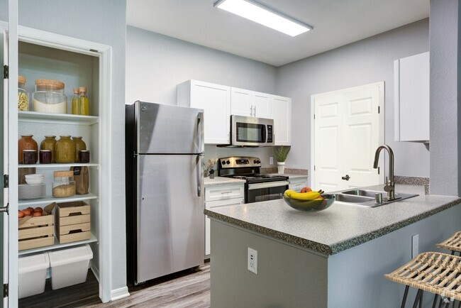
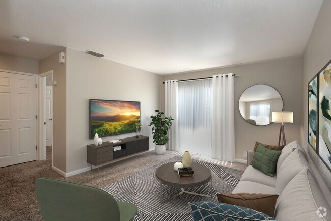
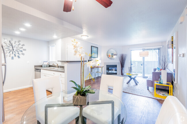
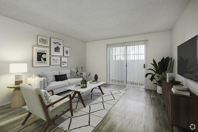
$1,670 / Month
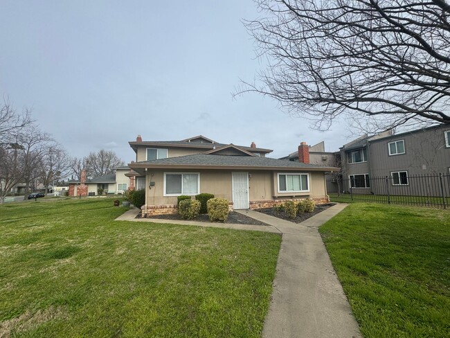
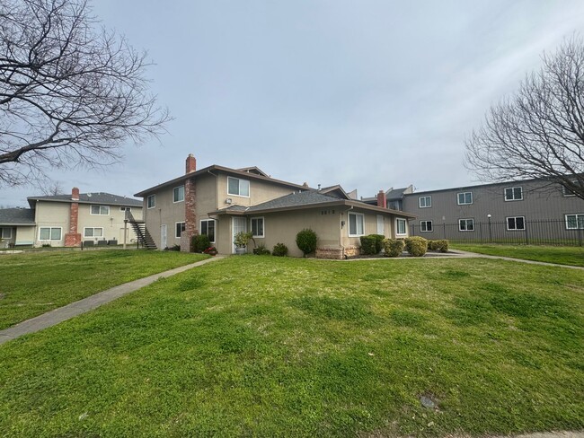
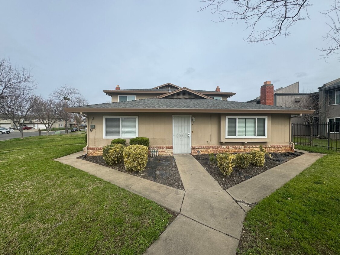
5619 42nd St Unit 5619-1
Sacramento, CA 95824
Today
Favorites
916-452-4679
-
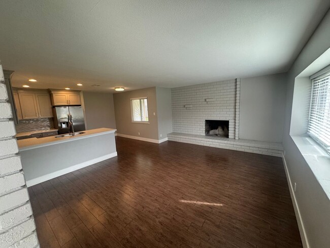
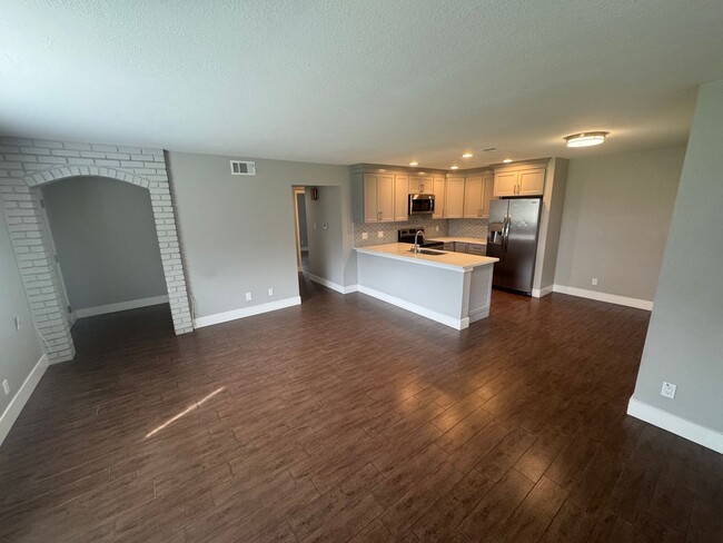
Bedrooms
2
-
Bathrooms
1
-
Square Feet
925 sq ft
-
Available
Available Now
5619 42nd St Unit 5619-1

Favorites
Parkway-South Sacramento is an area less than 10 miles south of the heart of Sacramento surrounded by great amenities like Sacramento Executive Airport, Sacramento Zoo, and top-notch medical centers. But the community itself has a lot to offer. Split by Highway 99, the town is a mix of residential, retail, and industrial. Repair shops, building suppliers, and auto shops make up the western portion of town in Southgate Industrial Park while an abundance of retailers are situated right below in the Southgate Commercial District. The rest of the area is mainly residential with peaceful neighborhoods making up the western sections of town with a variety of moderately priced apartments to choose from.
Learn more about living in Parkway-South Sacramento
Education
| Colleges & Universities | Distance | ||
|---|---|---|---|
| Colleges & Universities | Distance | ||
| Drive: | 5 min | 2.6 mi | |
| Drive: | 10 min | 5.0 mi | |
| Drive: | 12 min | 7.0 mi | |
| Drive: | 20 min | 13.6 mi |
5619 42nd St Unit 5619-1 is within 5 minutes or 2.6 miles from Sacramento City College. It is also near Sacramento State and Cosumnes River College.
Transportation options available in Sacramento include Fruitridge, located 1.3 miles from 5619 42nd St Unit 5619-1. 5619 42nd St Unit 5619-1 is near Sacramento International, located 16.8 miles or 25 minutes away.
| Transit / Subway | Distance | ||
|---|---|---|---|
| Transit / Subway | Distance | ||
|
|
Drive: | 2 min | 1.3 mi |
|
|
Drive: | 5 min | 2.5 mi |
|
|
Drive: | 7 min | 2.9 mi |
|
|
Drive: | 7 min | 3.8 mi |
|
|
Drive: | 8 min | 5.3 mi |
| Commuter Rail | Distance | ||
|---|---|---|---|
| Commuter Rail | Distance | ||
|
|
Drive: | 24 min | 18.5 mi |
|
|
Drive: | 29 min | 22.2 mi |
|
|
Drive: | 30 min | 24.3 mi |
|
|
Drive: | 39 min | 31.1 mi |
|
|
Drive: | 54 min | 41.9 mi |
| Airports | Distance | ||
|---|---|---|---|
| Airports | Distance | ||
|
Sacramento International
|
Drive: | 25 min | 16.8 mi |
Time and distance from 5619 42nd St Unit 5619-1.
| Shopping Centers | Distance | ||
|---|---|---|---|
| Shopping Centers | Distance | ||
| Walk: | 15 min | 0.8 mi | |
| Walk: | 17 min | 0.9 mi | |
| Walk: | 18 min | 0.9 mi |
5619 42nd St Unit 5619-1 has 3 shopping centers within 0.9 mile, which is about a 18-minute walk. The miles and minutes will be for the farthest away property.
| Parks and Recreation | Distance | ||
|---|---|---|---|
| Parks and Recreation | Distance | ||
|
Sacramento Zoo
|
Drive: | 7 min | 3.7 mi |
|
Sutter's Fort State Historical Monument
|
Drive: | 6 min | 4.1 mi |
|
California Native Plant Demonstration Garden
|
Drive: | 8 min | 4.5 mi |
|
Leland Stanford Mansion State Historic Park
|
Drive: | 8 min | 5.0 mi |
|
Paradise Beach County Recreation Area
|
Drive: | 9 min | 5.0 mi |
5619 42nd St Unit 5619-1 has 5 parks within 5.0 miles, including Sacramento Zoo, Sutter's Fort State Historical Monument, and Paradise Beach County Recreation Area.
| Hospitals | Distance | ||
|---|---|---|---|
| Hospitals | Distance | ||
| Drive: | 6 min | 3.0 mi | |
| Drive: | 6 min | 3.1 mi | |
| Drive: | 7 min | 4.8 mi |
5619 42nd St Unit 5619-1 has 3 hospitals within 4.8 miles, the nearest is Shriners Hospitals for Children GÇö Northern California which is 3.0 miles away and a 6 minute drive.
| Military Bases | Distance | ||
|---|---|---|---|
| Military Bases | Distance | ||
| Drive: | 27 min | 14.5 mi |
5619 42nd St Unit 5619-1 is 14.5 miles and a 27 minute drive from McClellan Air Force Base.
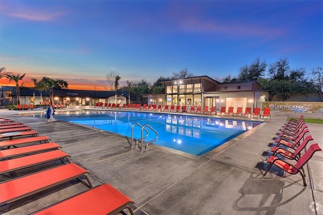
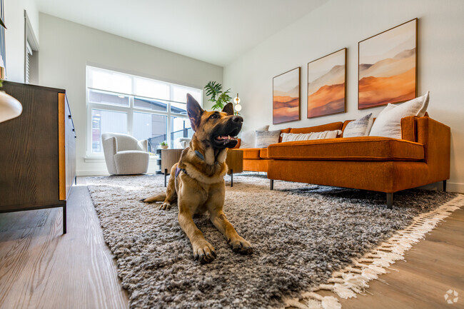
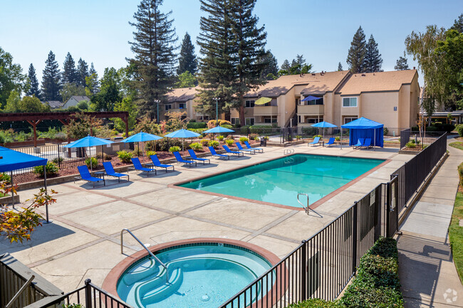
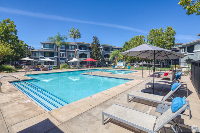
You May Also Like
Similar Rentals Nearby


What Are Walk Score®, Transit Score®, and Bike Score® Ratings?
Walk Score® measures the walkability of any address. Transit Score® measures access to public transit. Bike Score® measures the bikeability of any address.
What is a Sound Score Rating?
A Sound Score Rating aggregates noise caused by vehicle traffic, airplane traffic and local sources
5619 42nd St
Sacramento, CA 95824